Los Naranjos
Total Kilometers
52.4
Technical Rating
Best Time
Spring, Fall
Trail Type
High-Clearance 4x4 Trail
Accessible By
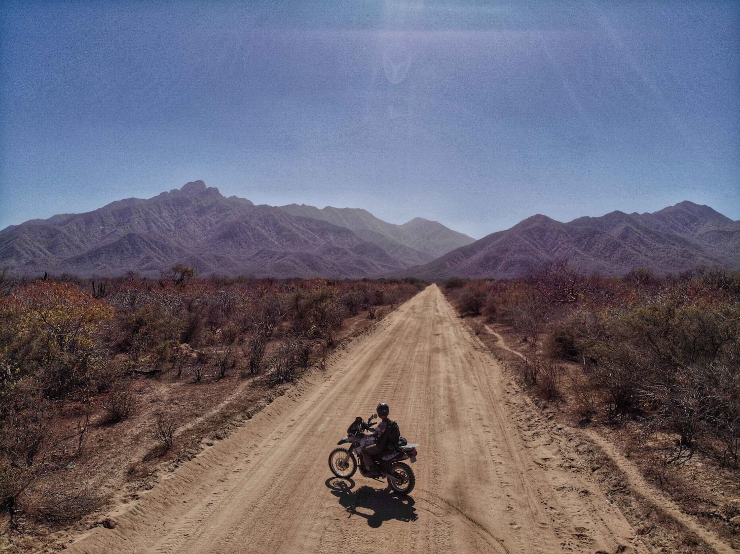
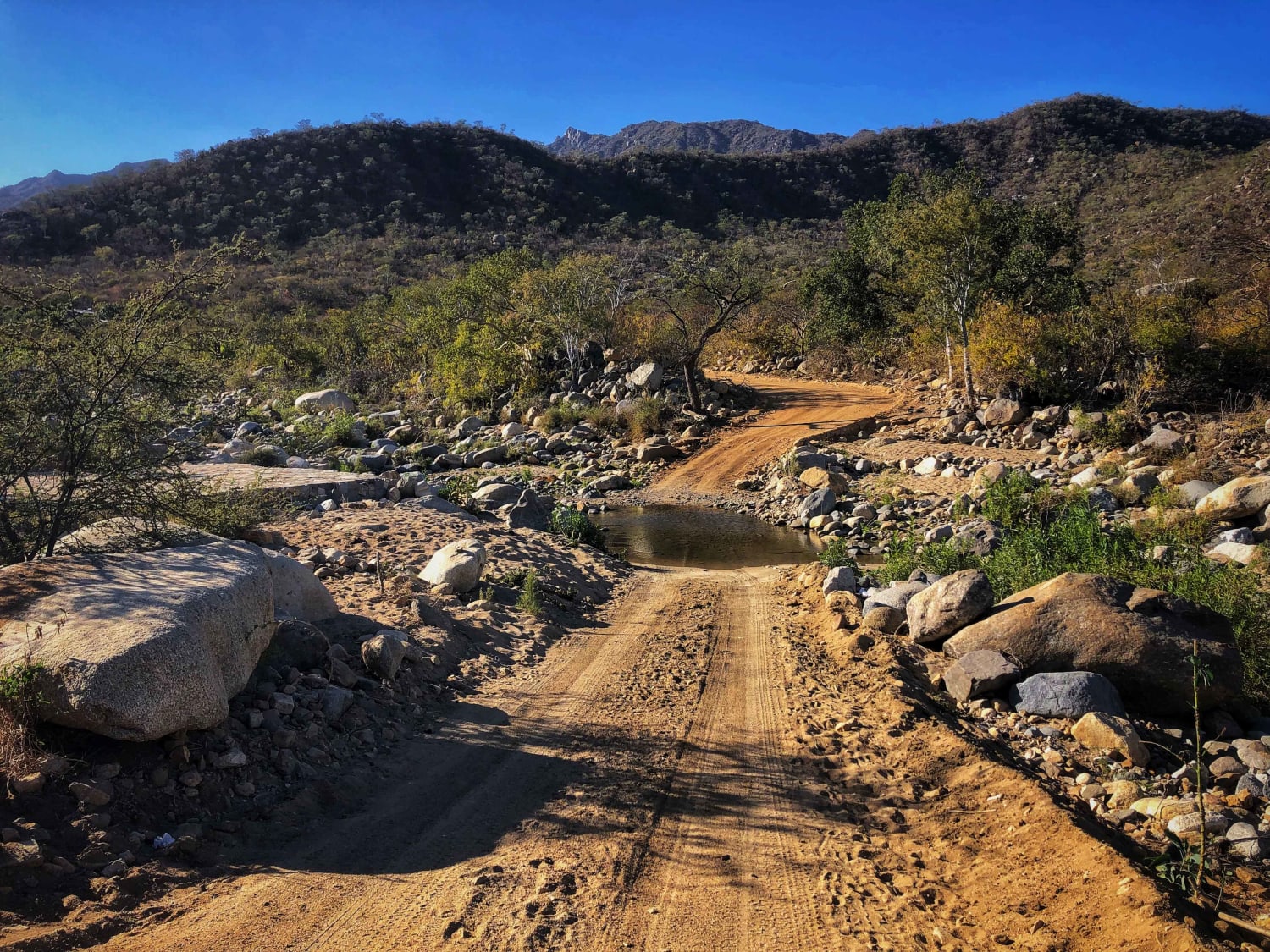
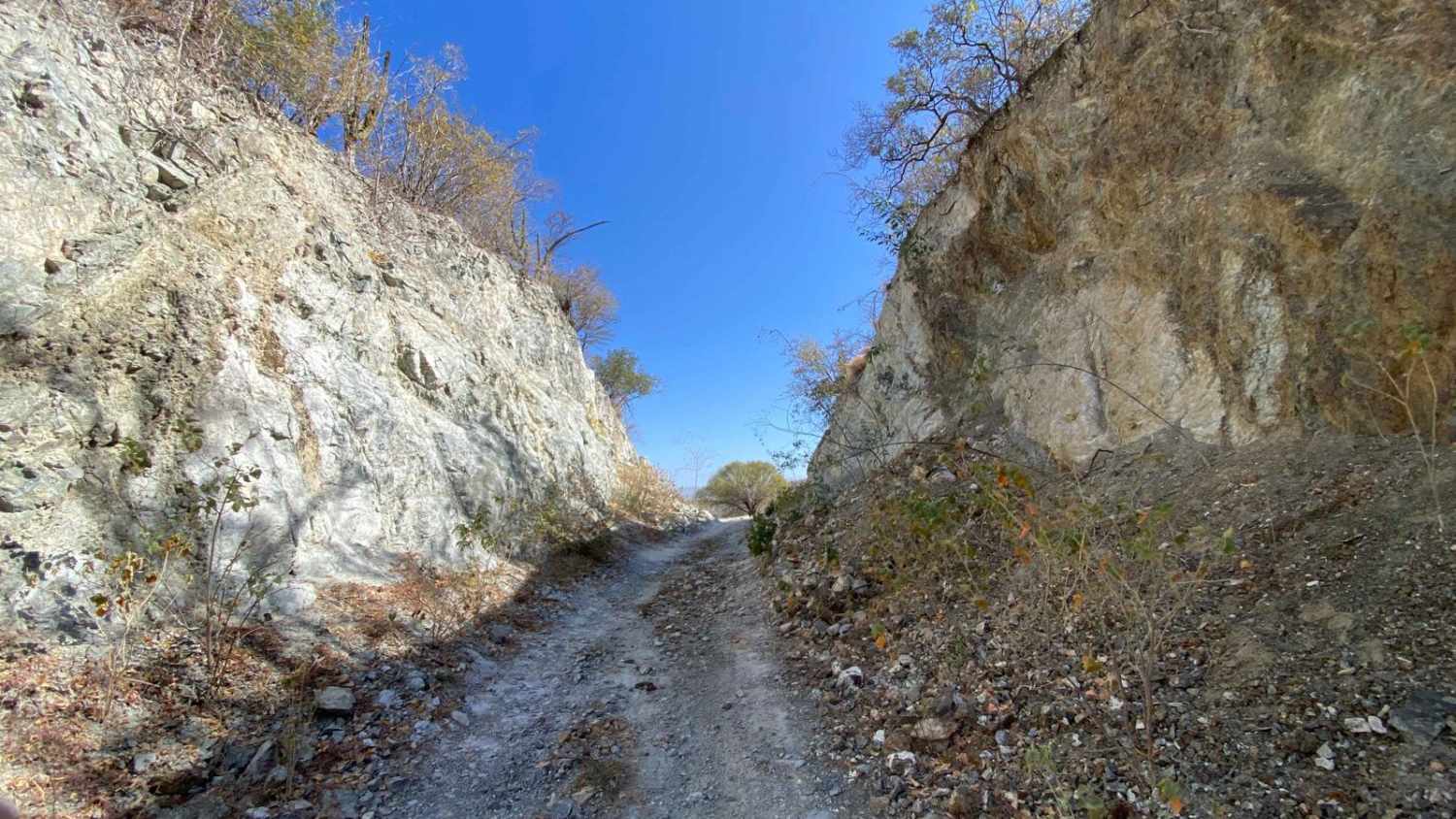
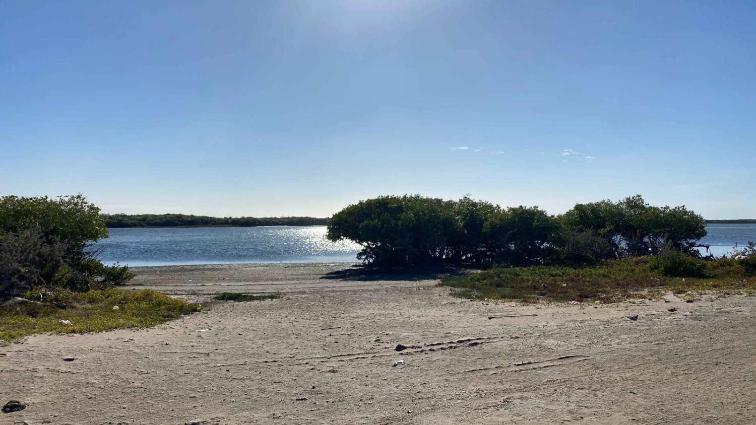
Trail Overview
Los Naranjos is a trail that crosses from east to west Baja California Sur. It can be accessed via Route 19 on the Westside or via Route 1 on the East. I recommend a high clearance vehicle. On a 4wd, this trail can take up to 2.45 min to 3 hrs. With an approximate length of 33 miles or 54 km, it's a challenging trail to explore with a great diversity of terrain, crossing the mountains at an altitude of 2,500 ft, with a beautiful view of the entire valley and its beautiful landscapes and ranches. Where the Naranjos river crosses the trail, it's pretty dry during the dry season, but it can get very challenging to cross it when it's raining. It is designed to be passable by a pickup truck, 4WD only in bad weather (September /October). The cross can get 1 meter deep, and the road can also get very, very difficult too, especially high on the sierras where the trail becomes very narrow. There is a lot of mud and rocks falling from the sidewalls of the Sierra, so go very slowly over the areas that are uphill. There are lots of turns as well and a few washes.If one were to travel from west to east, a serious 4WD vehicle would be needed to go uphill through the rough spots. Overall, the east half of the trip in the dry season is very easy for anybody and had the prettiest scenery. The west side is definitely more challenging, and 4wd would be better. If you are in this area on Baja California Sur and love to off-road, then this is a must trail. Again, if you are around in raining season, I will advise you to ask locals for info about the shape of the road and river cross. Careful also with loose cows around the ranchos.
Photos of Los Naranjos
Difficulty
Check with local people before trying this trail on raining season ( September - October ), specially after a heavy rain.
Status Reports
Los Naranjos can be accessed by the following ride types:
- High-Clearance 4x4
- SxS (60")
- ATV (50")
- Dirt Bike
Los Naranjos Map
Popular Trails

Camino De Auga Blanco

El Centenario Northwest
Los Hombres Solos
The onX Offroad Difference
onX Offroad combines trail photos, descriptions, difficulty ratings, width restrictions, seasonality, and more in a user-friendly interface. Available on all devices, with offline access and full compatibility with CarPlay and Android Auto. Discover what you’re missing today!