Salt Flats Datil
Total Kilometers
15.2
Technical Rating
Best Time
Spring, Summer, Fall, Winter
Trail Type
Full-Width Road
Accessible By
Trail Overview
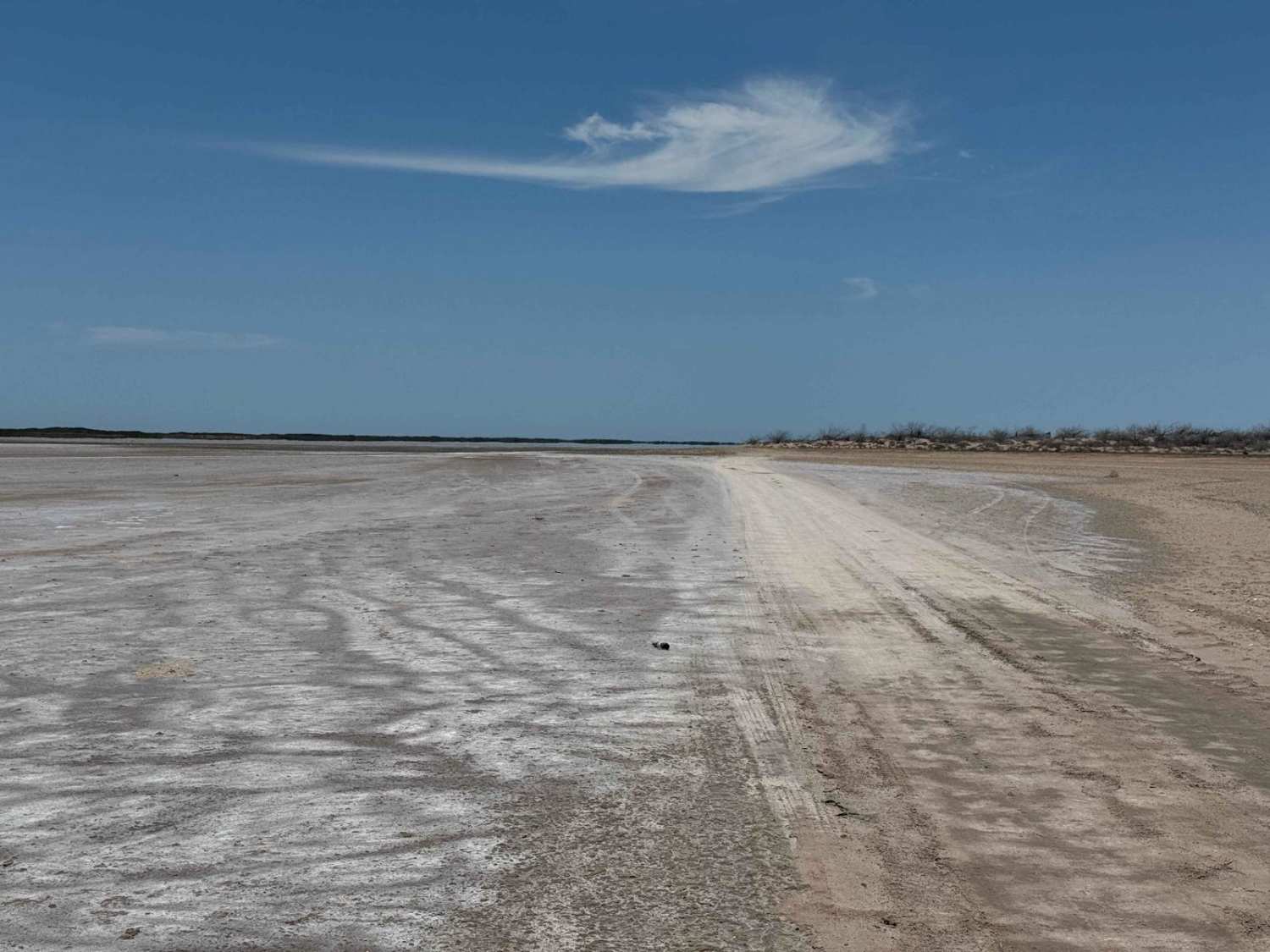
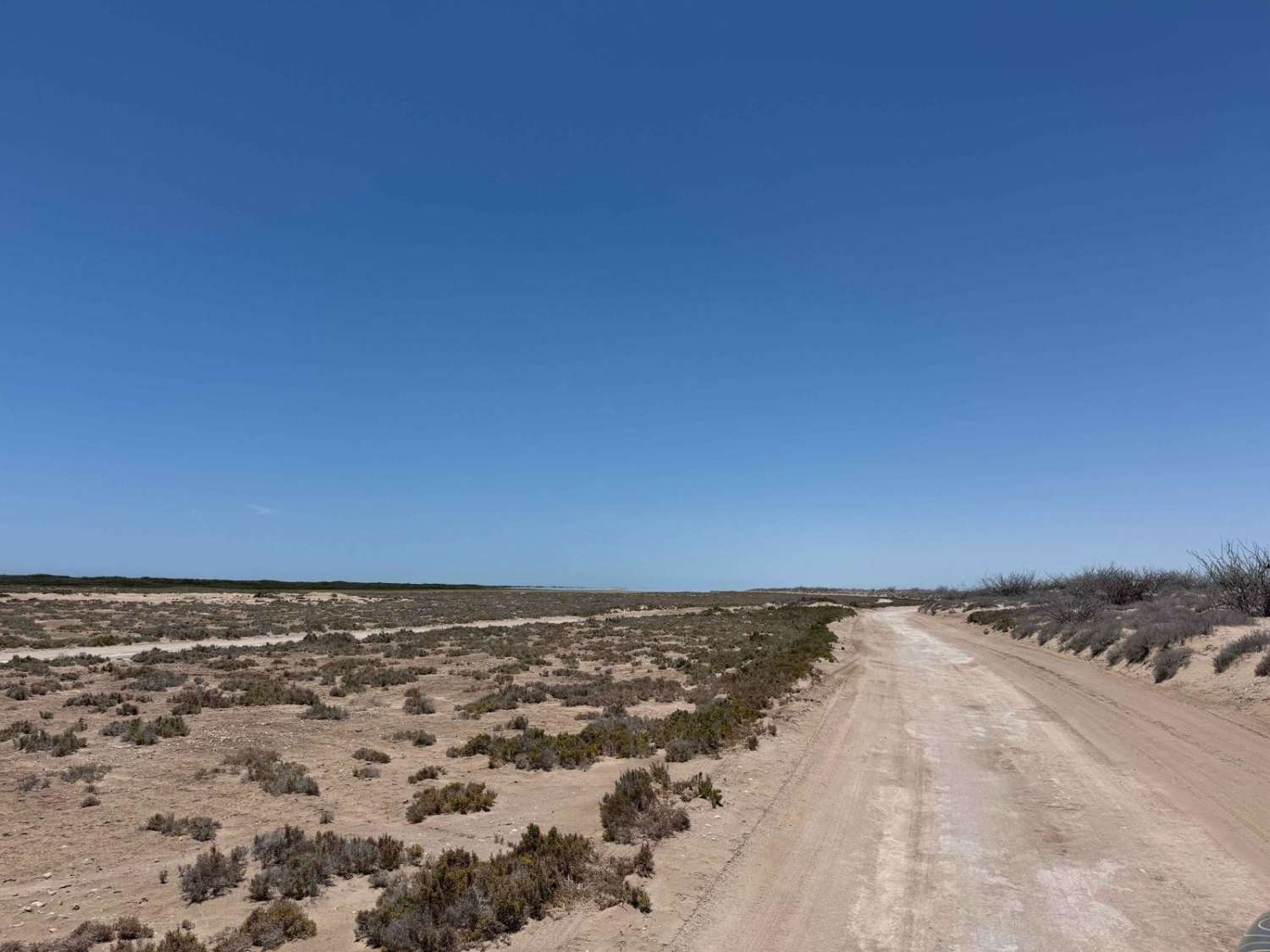
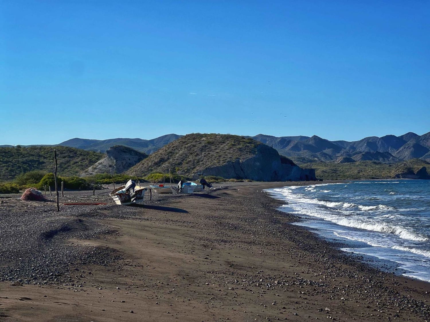
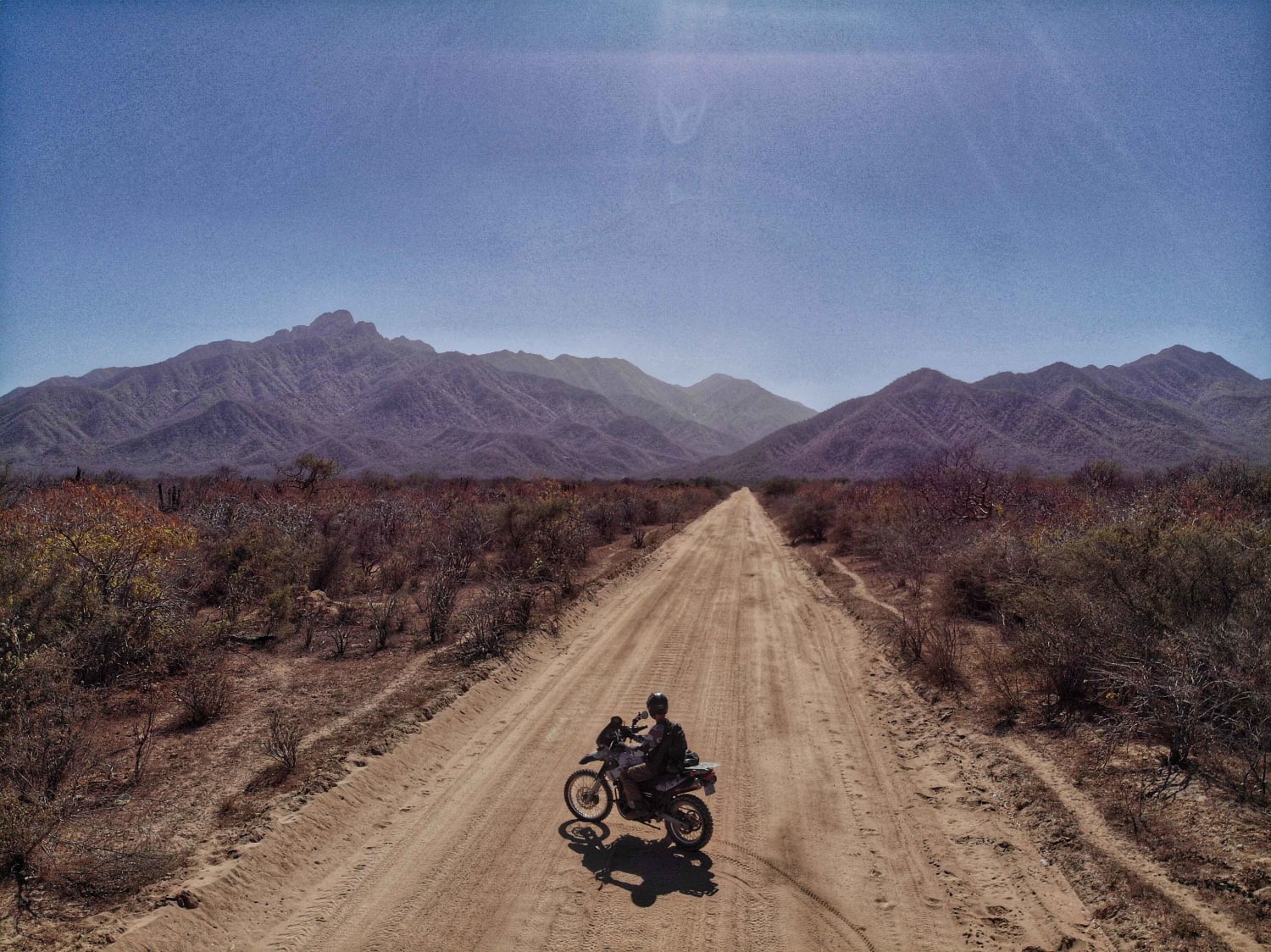
Salt Flats Datil begins at the remote coastal fishing camp of El Datil and follows the edge of the expansive salt flats, offering wide-open views that stretch for miles. While the surface rides smoothly like a dirt highway when dry, conditions can change dramatically with king tides or recent storms--so always check weather and tidal forecasts before venturing out. Even heavier vehicles should have no trouble along the main stretch, as the route remains firm under normal conditions. In the final mile and a half, the trail veers inland, passing a few weathered buildings and leaning power poles topped with bird nests, before ending at a desert crossroads that connects deeper into the interior.
Photos of Salt Flats Datil
Difficulty
Although this is a well-traveled, flat, and hard-packed route suitable for any vehicle with good ground clearance, caution is essential. Salt flats are notoriously deceptive and can pose serious recovery challenges if you break through the surface crust. Getting stuck, even briefly, can become a major issue, especially if you're traveling alone. Always check tide forecasts and current conditions before attempting to cross, as even a solid-looking surface can quickly become treacherous.
Status Reports
Salt Flats Datil can be accessed by the following ride types:
- High-Clearance 4x4
- SUV
- SxS (60")
- ATV (50")
- Dirt Bike
Salt Flats Datil Map
Popular Trails

Junto a la Bahia de la Paz
San Juaniquito

Corto y Bueno
Los Naranjos
The onX Offroad Difference
onX Offroad combines trail photos, descriptions, difficulty ratings, width restrictions, seasonality, and more in a user-friendly interface. Available on all devices, with offline access and full compatibility with CarPlay and Android Auto. Discover what you’re missing today!