Punta Cancun
Total Kilometers
30.8
Technical Rating
Best Time
Spring, Summer, Fall, Winter
Trail Type
Full-Width Road
Accessible By
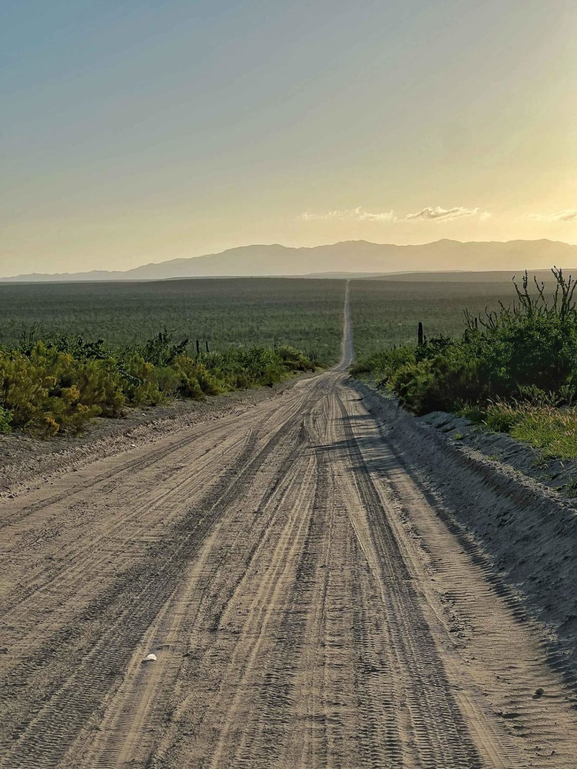
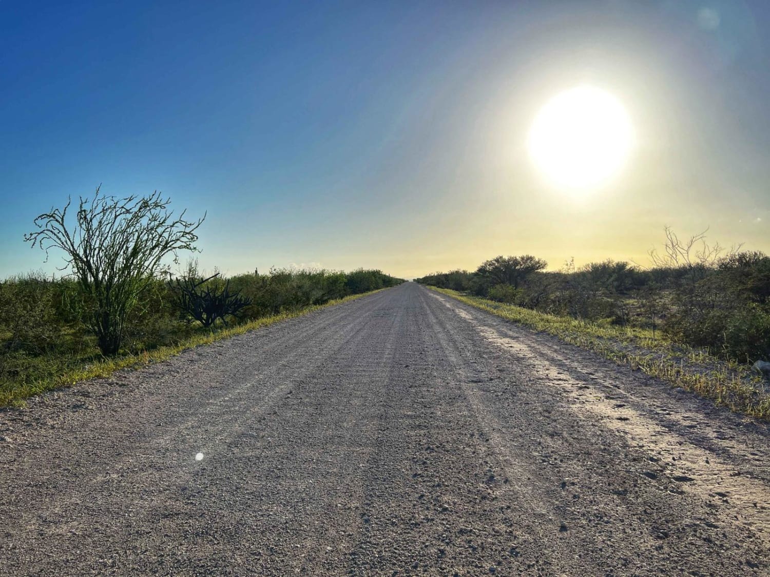
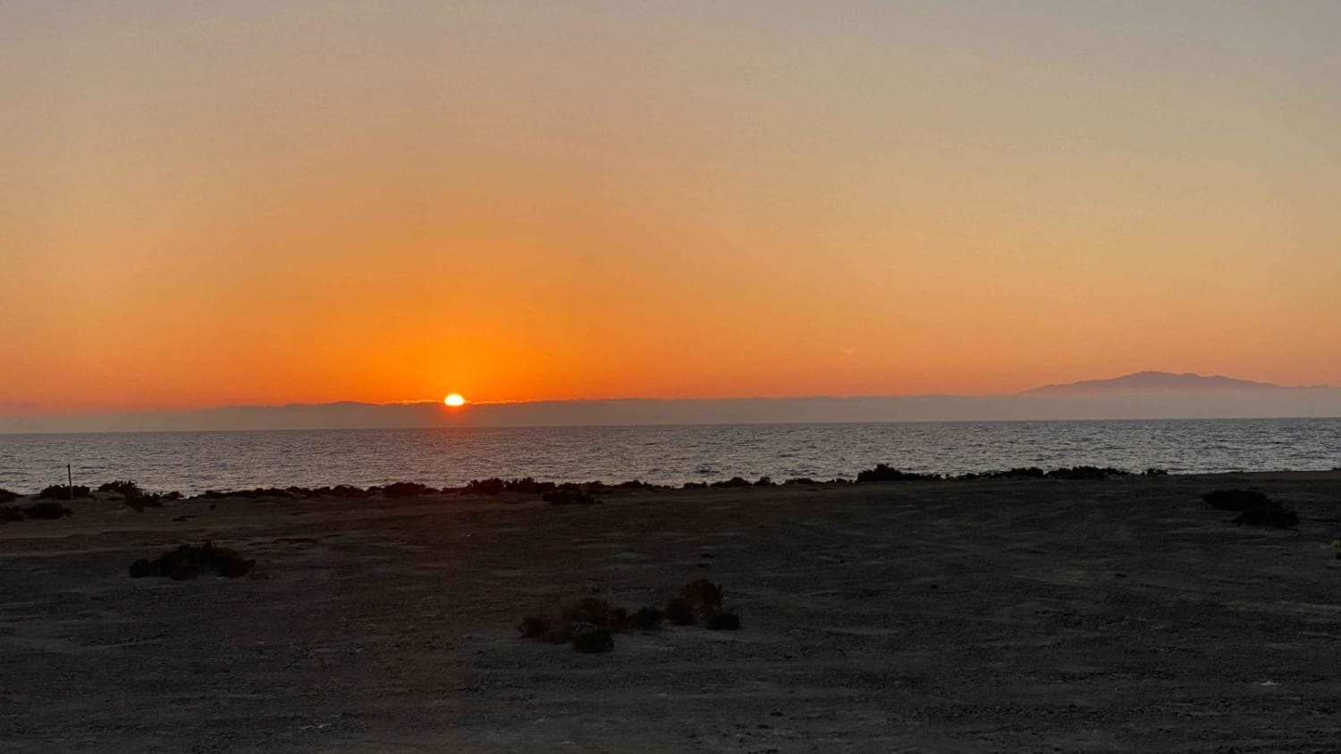
Trail Overview
This trail will take you to Puerto Cancun, a very small community of fishermen. You will have to drive the longest and straightest line--28 kilometers of what looks like a never-ending road. It has great views of the mountains along the way. It's an easy dirt/gravel two-way road. There's nothing really to worry about, just a bit of sand as you get into Puerto Cancun.
Photos of Punta Cancun
Difficulty
It's a very easy two-way road with some gravel, and it's a bit sandy as you get into town. Be careful of loose cattle along the way, especially early in the morning or late at night.
Status Reports
Punta Cancun can be accessed by the following ride types:
- High-Clearance 4x4
- SUV
- SxS (60")
- ATV (50")
- Dirt Bike
Punta Cancun Map
Popular Trails

Rancho Pintado Road

El Faro Connection

San Antonio Lavado de Oasis
Campo Chivo El Tavo Route
The onX Offroad Difference
onX Offroad combines trail photos, descriptions, difficulty ratings, width restrictions, seasonality, and more in a user-friendly interface. Available on all devices, with offline access and full compatibility with CarPlay and Android Auto. Discover what you’re missing today!