Las Pocitas La Soledad
Total Kilometers
66.5
Technical Rating
Best Time
Spring, Fall, Winter
Trail Type
Full-Width Road
Accessible By
Trail Overview
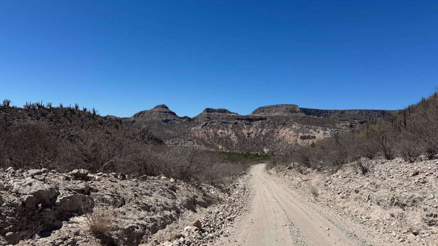
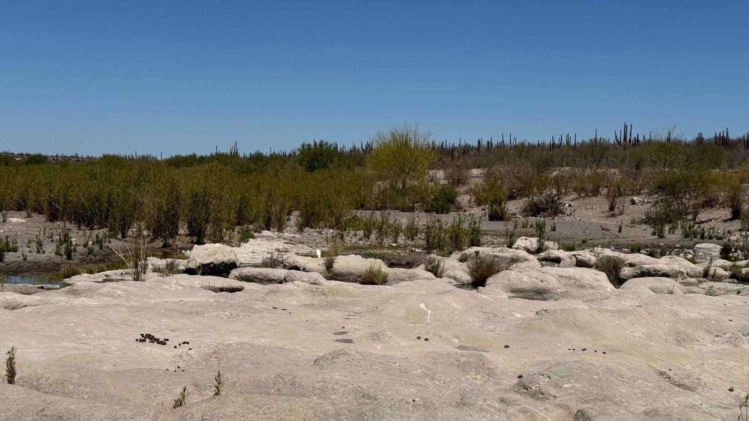
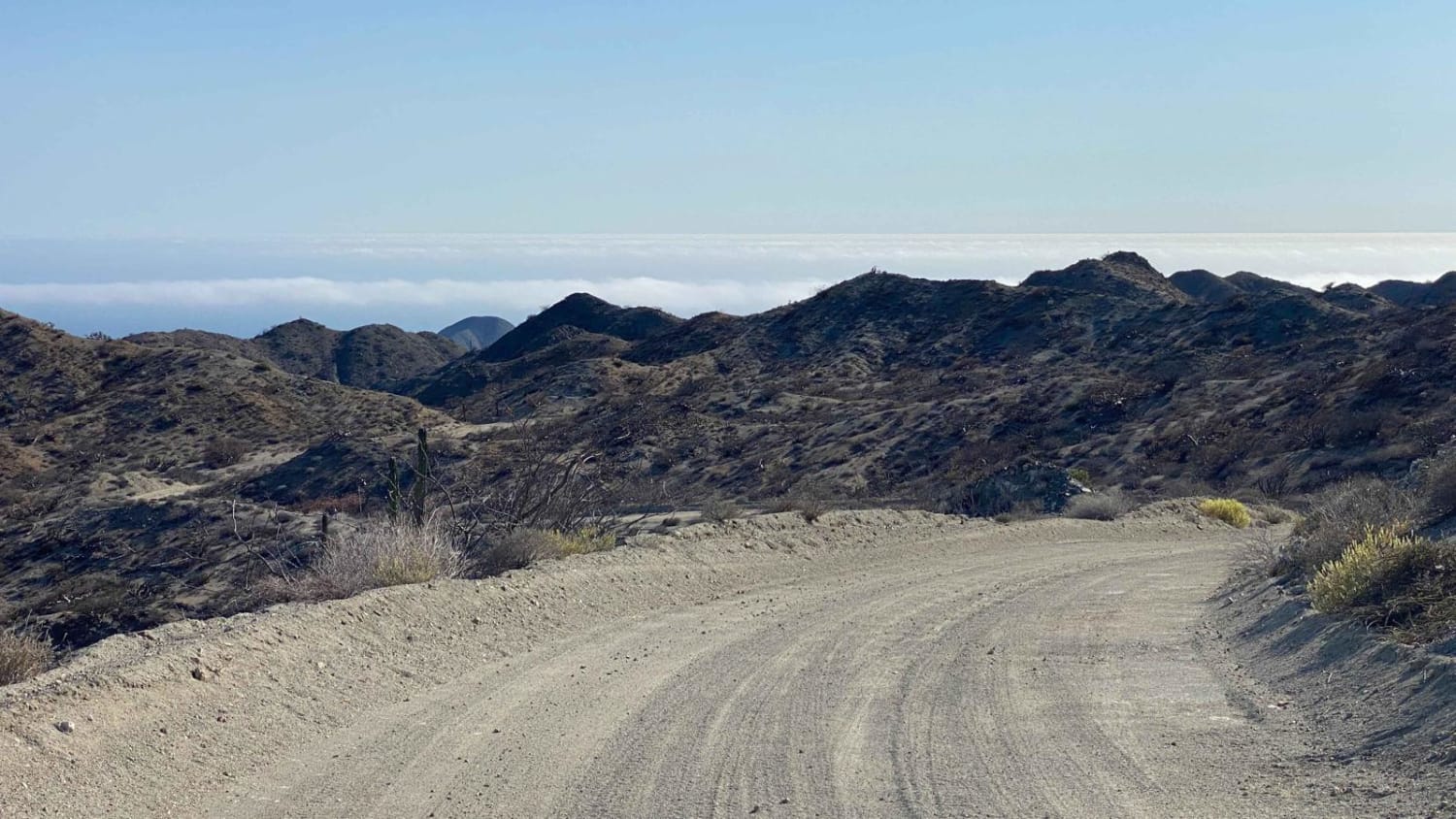
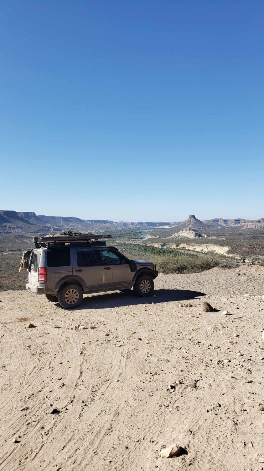
Beginning in the small town of Las Positas just off Highway 1, this off-road trail stretches a little over 40 miles and remains accessible to 2WD vehicles in dry conditions. The route starts with heavy corrugation that eases after the first dozen miles or so, giving way to a smoother ride. Early on, the trail winds through arroyos and canyons with signs of occasional water flow--dry at the time of mapping, but clearly capable of producing significant water crossings during the rainy season. As the route progresses, you'll gradually climb through striking desert terrain marked by a dense stand of mid-sized El Cardon cacti. The final section includes a fairly steep ascent, culminating in a dramatic descent to the junction with the Evaristo route. From the top, the steep drop reveals breathtaking cliffside views that parallel the upcoming trail towards the town of La Soledad.
Photos of Las Pocitas La Soledad
Difficulty
In dry conditions, vehicles with 2WD and decent ground clearance will have no trouble navigating this route.
Status Reports
Las Pocitas La Soledad can be accessed by the following ride types:
- High-Clearance 4x4
- SUV
- SxS (60")
- ATV (50")
- Dirt Bike
Las Pocitas La Soledad Map
Popular Trails
Presa Santa Ines

Los Inocentes Loop
San Pablo Canyon Road and More
La Purisima
The onX Offroad Difference
onX Offroad combines trail photos, descriptions, difficulty ratings, width restrictions, seasonality, and more in a user-friendly interface. Available on all devices, with offline access and full compatibility with CarPlay and Android Auto. Discover what you’re missing today!