La Mision de Magdelena
Total Kilometers
11.5
Technical Rating
Best Time
Spring, Summer, Fall, Winter
Trail Type
Full-Width Road
Accessible By
Trail Overview
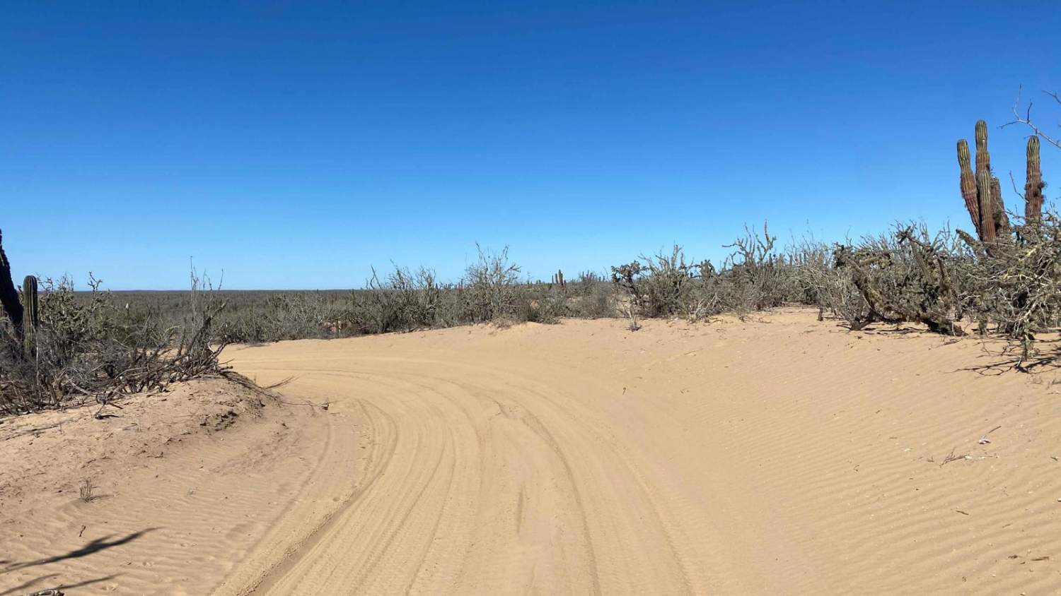
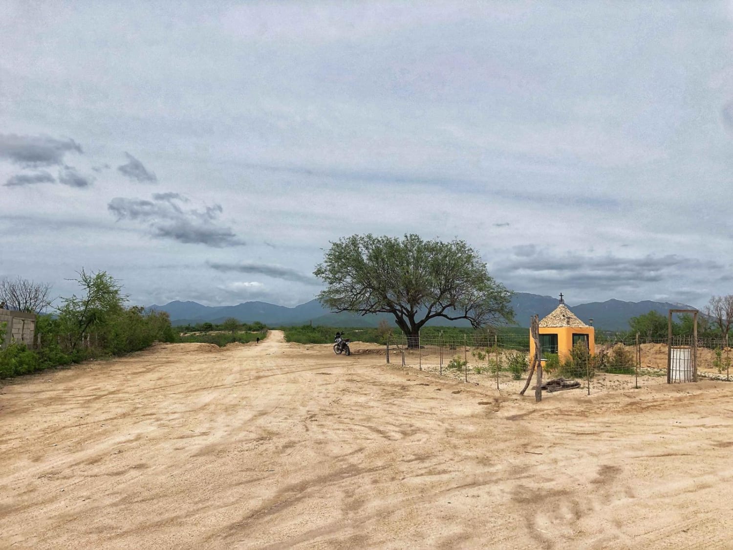
The Trail begins at the start of the Magdalena Bay loop and heads south in a relatively straight path. While most of the route is a wide, well-defined road, there are occasional dips with sections of deep sand to navigate. Along the way, you'll encounter several locked gates marking private properties and signs of construction. The straight section concludes at a gate leading to "La Mision de Magdalena," which appears to be a privately owned commercial property rather than a historical mission, based on initial observations and a locked gate. From this point, the trail takes a sharp 90-degree left turn onto a narrower, less-traveled road. This stretch is more overgrown with desert vegetation encroaching on the path, so full-size vehicles may sustain some scratches. The trail eventually connects to the North-South Road, which leads back to the Pacific Ocean or, alternatively, left toward Highway 22.
Photos of La Mision de Magdelena

Difficulty
While the trail is generally manageable with a 2WD vehicle, there are sections of deep sand and one notable dip that could be challenging to navigate without strong sand-driving skills. Beyond the entrance near La Mision de Magdalena, the road becomes much less traveled, with additional stretches of deep sand. Be prepared to air down your tires and carry traction boards if you're tackling this route without 4WD.
Status Reports
La Mision de Magdelena can be accessed by the following ride types:
- High-Clearance 4x4
- SUV
- SxS (60")
- ATV (50")
- Dirt Bike
La Mision de Magdelena Map
Popular Trails

South Airport Route

Camino De Auga Blanco
Matancitas - Candelaria

Palo Verde Beach
The onX Offroad Difference
onX Offroad combines trail photos, descriptions, difficulty ratings, width restrictions, seasonality, and more in a user-friendly interface. Available on all devices, with offline access and full compatibility with CarPlay and Android Auto. Discover what you’re missing today!