Goodyear Spring - FS 43252
Total Miles
3.1
Technical Rating
Best Time
Spring, Summer, Fall
Trail Type
Full-Width Road
Accessible By
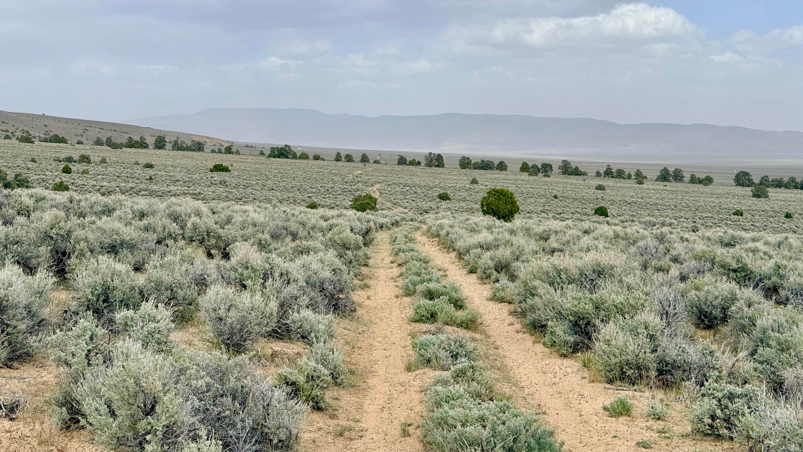
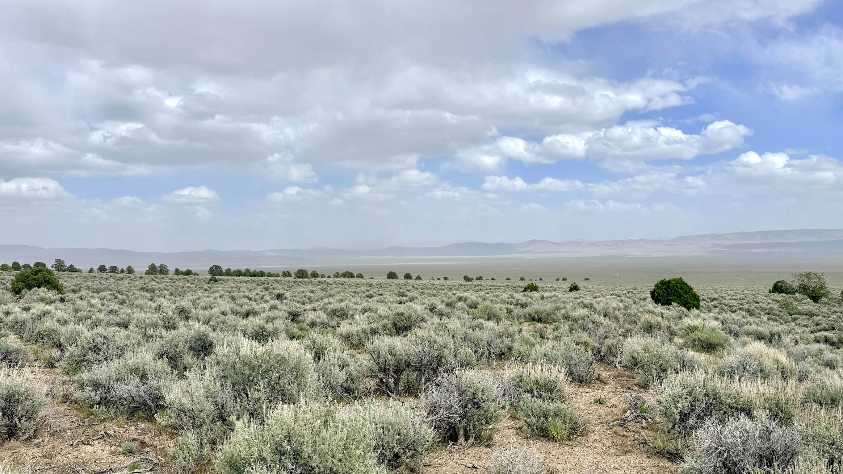
Trail Overview
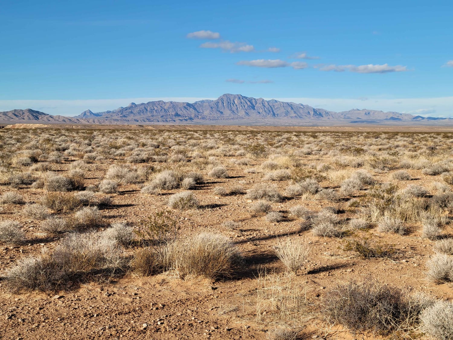
Goodyear Spring is a solid choice for those looking to traverse the lower foothills on a route that is less technical than the high-elevation ridgelines but still provides an engaging backcountry experience. The trail carries you through a vast field of sagebrush, where the rugged peaks of the Toiyabe Range rise dramatically to your west while the expansive Reese River Valley floor sprawls out toward the eastern horizon. The driving surface is generally smooth, allowing comfortable cruising through the high desert terrain. However, the trail has several significantly deep washouts that demand your full attention. These obstacles can "sneak up" on you if you are traveling at a faster clip. Driver navigation is required to avoid scraping the rear hitch or contacting a stock front bumper. Aside from these technical dips and a few short rocky sections, the trail offers a flowing and picturesque drive through some of central Nevada's iconic scenery. There is no cell service in this area. The surrounding terrain creates a total signal shadow. Download offline maps before leaving the Austin area.
Photos of Goodyear Spring - FS 43252
Difficulty
Rated a 3 specifically for the depth of the washouts. These require slow approach speeds and careful line selection to manage the steep entry and exit angles.
Status Reports
Goodyear Spring - FS 43252 can be accessed by the following ride types:
- High-Clearance 4x4
- SUV
- SxS (60")
- ATV (50")
- Dirt Bike
Goodyear Spring - FS 43252 Map
Popular Trails
Logandale Main Loop 01
Joe May Road
Moapa to Caliente Via Barclay
The onX Offroad Difference
onX Offroad combines trail photos, descriptions, difficulty ratings, width restrictions, seasonality, and more in a user-friendly interface. Available on all devices, with offline access and full compatibility with CarPlay and Android Auto. Discover what you’re missing today!