Sierra Pelona Ridge/Rowher OHV
Total Miles
14.4
Technical Rating
Best Time
Winter, Spring, Summer, Fall
Trail Type
Full-Width Road
Accessible By
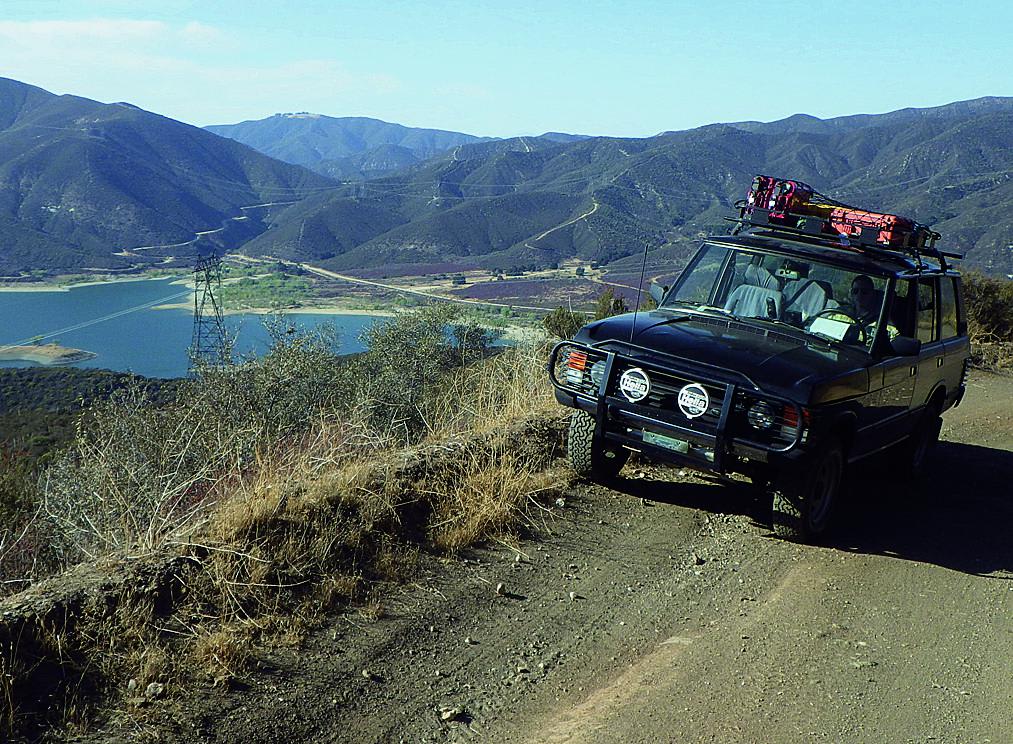
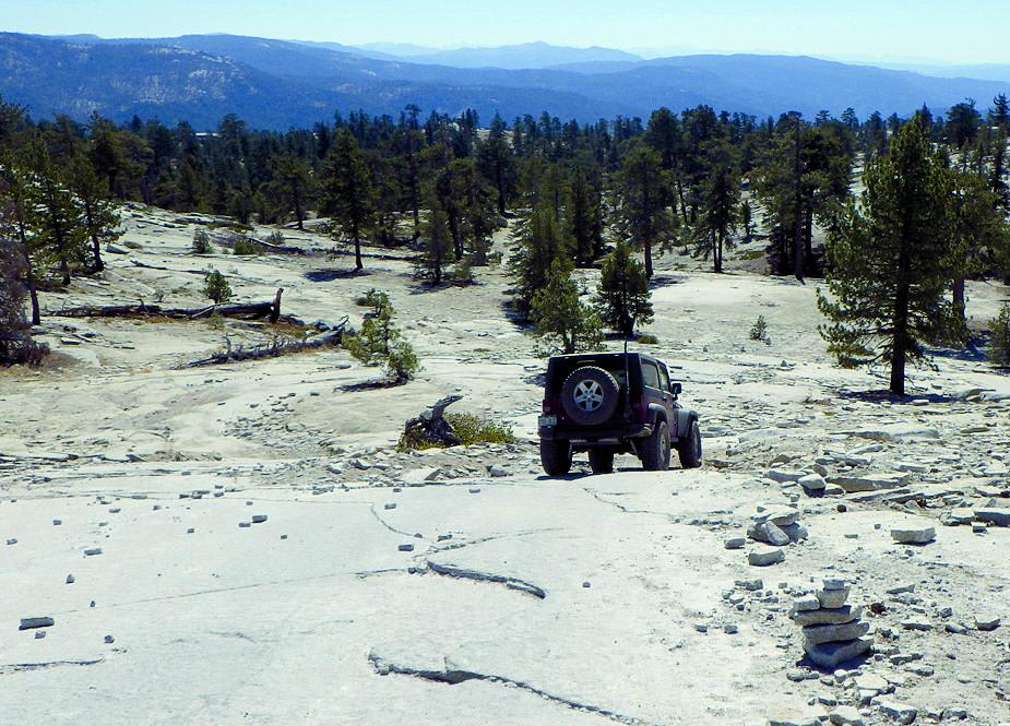
Trail Overview
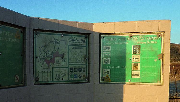
This rugged backcountry drive climbs high to the ridgeline of the Sierra Pelona. After traversing the ridge for several scenic miles, it switchbacks down the mountain's northern side, offering outstanding views of Bouquet Reservoir. Most of the route is inside the Rowher Flat OHV Area, open to green sticker vehicles. If you're looking for a difficult route, follow the Rowher Trail on the map. Sierra Pelona Road crosses Rowher Trail several times on the north side.
Photos of Sierra Pelona Ridge/Rowher OHV
Difficulty
Easy: Single-lane shelf road much of the way with adequate room to pass most of the time. Mildly steep in places with vertical dropoffs at the top. Suitable for stock 4x4 SUVs with decent ground clearance. Skid plates helpful.
Status Reports
Sierra Pelona Ridge/Rowher OHV can be accessed by the following ride types:
- High-Clearance 4x4
- SUV
- SxS (60")
- ATV (50")
- Dirt Bike
Sierra Pelona Ridge/Rowher OHV Map
Popular Trails
Frank - FS 26S07

Pilot Rock Truck Trail - FS 2N33
Old Dale Road
Bald Mountain
The onX Offroad Difference
onX Offroad combines trail photos, descriptions, difficulty ratings, width restrictions, seasonality, and more in a user-friendly interface. Available on all devices, with offline access and full compatibility with CarPlay and Android Auto. Discover what you’re missing today!