Pilot Rock Truck Trail - FS 2N33
Total Miles
11.2
Technical Rating
Best Time
Spring, Fall, Summer
Trail Type
Full-Width Road
Accessible By
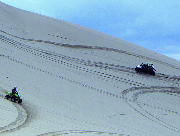
Trail Overview
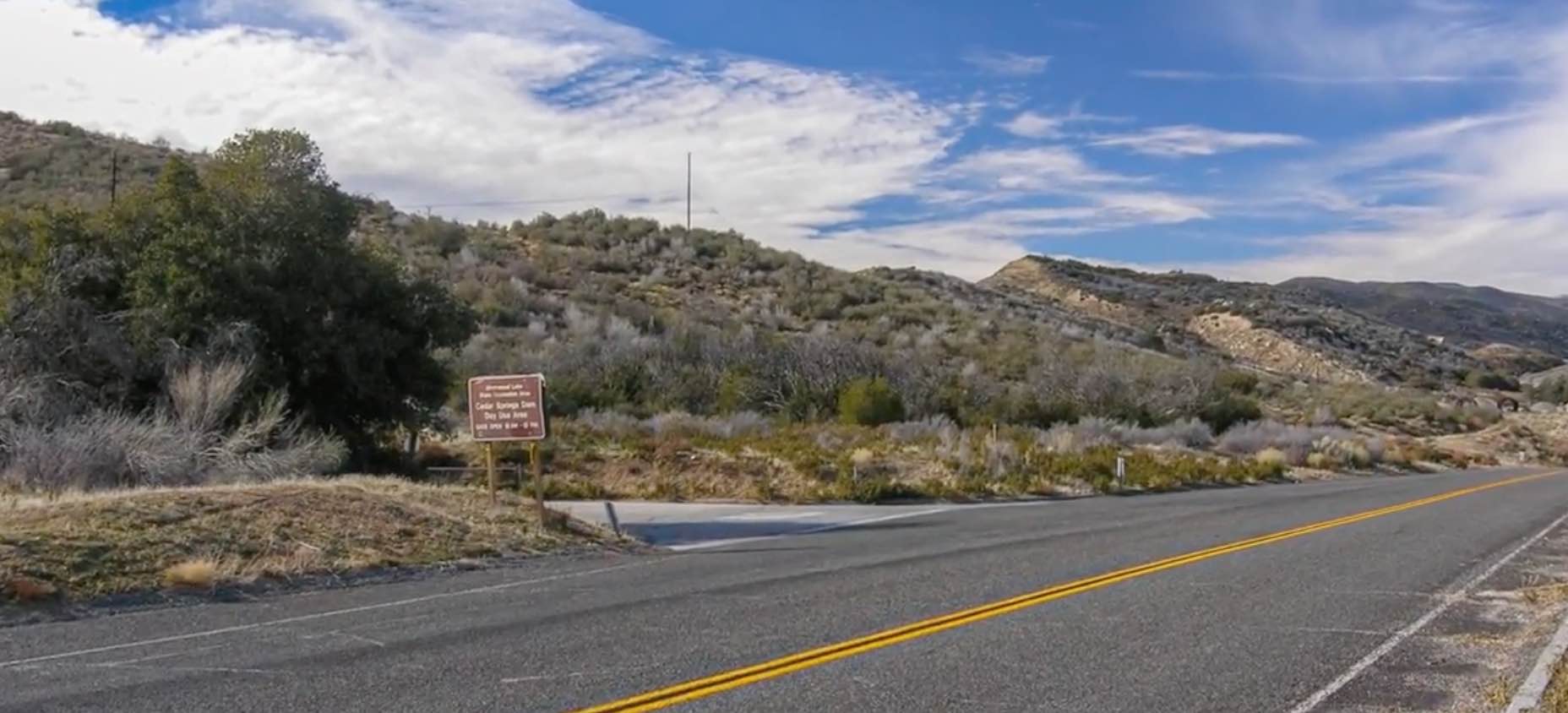
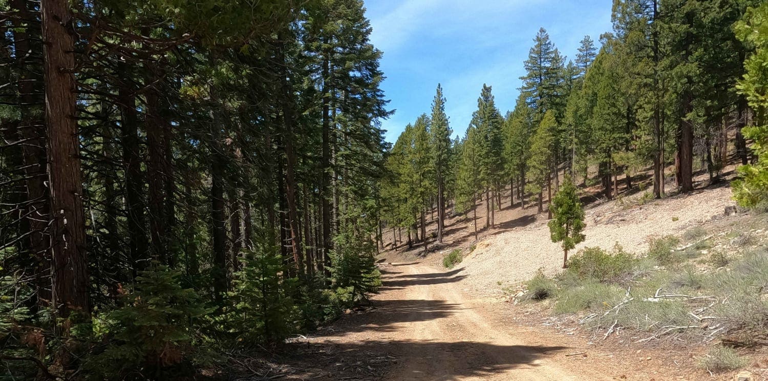
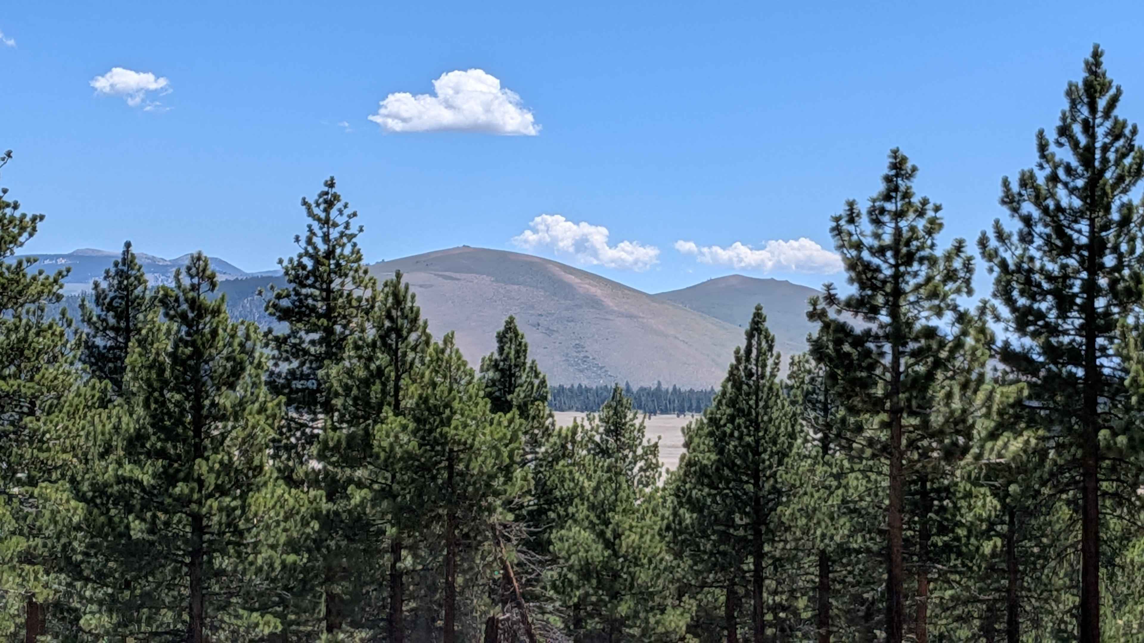
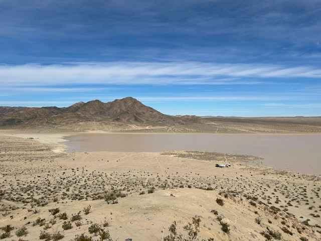
Pilot Rock Truck Trail (FS 2N33) is a scenic ridge route that climbs from the high desert near Silverwood Lake into the San Bernardino Mountains above Lake Arrowhead. The trail begins as a wide dirt road with a steady grade, gradually transitioning into a narrower, more rugged climb as it gains elevation through a series of switchbacks. As the route ascends, the terrain shifts from fast decomposed granite to sections with embedded rock, erosion ruts, and occasional off-camber turns. After storms, these features can become more pronounced, adding a mild technical challenge and requiring careful tire placement. Traffic is typically mixed, with motorcycles and side-by-sides frequently using the trail, so expect blind corners and dust during dry conditions. Near the upper half, the trail reaches a ridgeline and begins to offer expansive views in both directions--over the Mojave Desert to the north and deep into the forested slopes of the San Bernardino Mountains to the south. This section is the highlight of the route, featuring mild shelf exposure and several pull-offs suitable for regrouping or photos. The trail passes near Pilot Rock itself, a prominent landmark that serves as a visual reference point for much of the drive. From here, the route continues along the ridge before descending slightly and connecting into the broader forest road network near Lake Arrowhead, allowing for multiple exit options or extensions into neighboring trails. Overall, FS 2N33 is a well-balanced trail that combines steady elevation gain, scenic ridgeline driving, and light technical features, making it an excellent choice for moderate 4x4 vehicles and mixed-experience groups looking for a half-day adventure.
Photos of Pilot Rock Truck Trail - FS 2N33

Difficulty
Pilot Rock Truck Trail (FS 2N33) is rated a 4/10 due to its sustained climb, changing terrain, and intermittent technical features. The route is primarily a dirt and decomposed granite road but includes sections of embedded rock, erosion ruts, and loose climbs that require careful throttle control and line choice--especially when traveling uphill from the desert side. While much of the trail is wide and approachable, several segments narrow along the ridgeline and introduce mild shelf exposure and off-camber turns. These areas are not extreme but can feel intimidating to inexperienced drivers. After storms, ruts and washouts can deepen, increasing the technical challenge and potentially pushing conditions closer to a 5/10. The trail does not typically require lockers or advanced rock-crawling capability, but high-clearance 4WD is recommended, and drivers should be comfortable navigating uneven terrain and maintaining traction on loose surfaces. Dust, traffic (including motorcycles), and blind corners can also add to the overall difficulty. Overall, FS 2N33 is a solid intermediate trail that offers a step up from basic forest roads without entering highly technical territory, making it well-suited for moderately built vehicles and drivers with some off-road experience.
History
Pilot Rock Truck Trail (FS 2N33) follows a historic corridor that has long connected the high desert to the San Bernardino Mountains. Routes in this area were originally used by Native American tribes traveling between desert and mountain environments, later becoming informal paths for early settlers, ranchers, and miners moving through the region. With the establishment of the San Bernardino National Forest in the early 1900s, many of these early travel routes were expanded into more defined roads to support logging, fire access, and forest management. What is now known as FS 2N33 was developed as a truck trail, a designation used by the Forest Service for routes capable of supporting early utility and firefighting vehicles accessing remote ridgelines. The trail takes its name from Pilot Rock, a prominent natural landmark visible from both the Mojave Desert and the mountain communities near Lake Arrowhead. The rock has long served as a navigation point for travelers in the region, helping guide movement between the desert floor and the higher elevations of the forest. Over time, as logging activity declined and recreational use increased, FS 2N33 transitioned into a popular OHV and 4x4 route. Today, it remains an important connector within the forest road network, offering access for recreation, fire management, and backcountry exploration while preserving its role as a historic ridgeline route between two very different landscapes.
Pilot Rock Truck Trail - FS 2N33 can be accessed by the following ride types:
- High-Clearance 4x4
- SUV
- SxS (60")
- ATV (50")
- Dirt Bike
Pilot Rock Truck Trail - FS 2N33 Map
Popular Trails
Bonta Creek - NF23N33
Forest Service Road 1S133
Soggy Dry Lake to Cougar Buttes
Dumont Dunes
The onX Offroad Difference
onX Offroad combines trail photos, descriptions, difficulty ratings, width restrictions, seasonality, and more in a user-friendly interface. Available on all devices, with offline access and full compatibility with CarPlay and Android Auto. Discover what you’re missing today!