Williams Pass
Total Miles
6.1
Technical Rating
Best Time
Fall, Summer, Spring
Trail Type
High-Clearance 4x4 Trail
Accessible By
Trail Overview
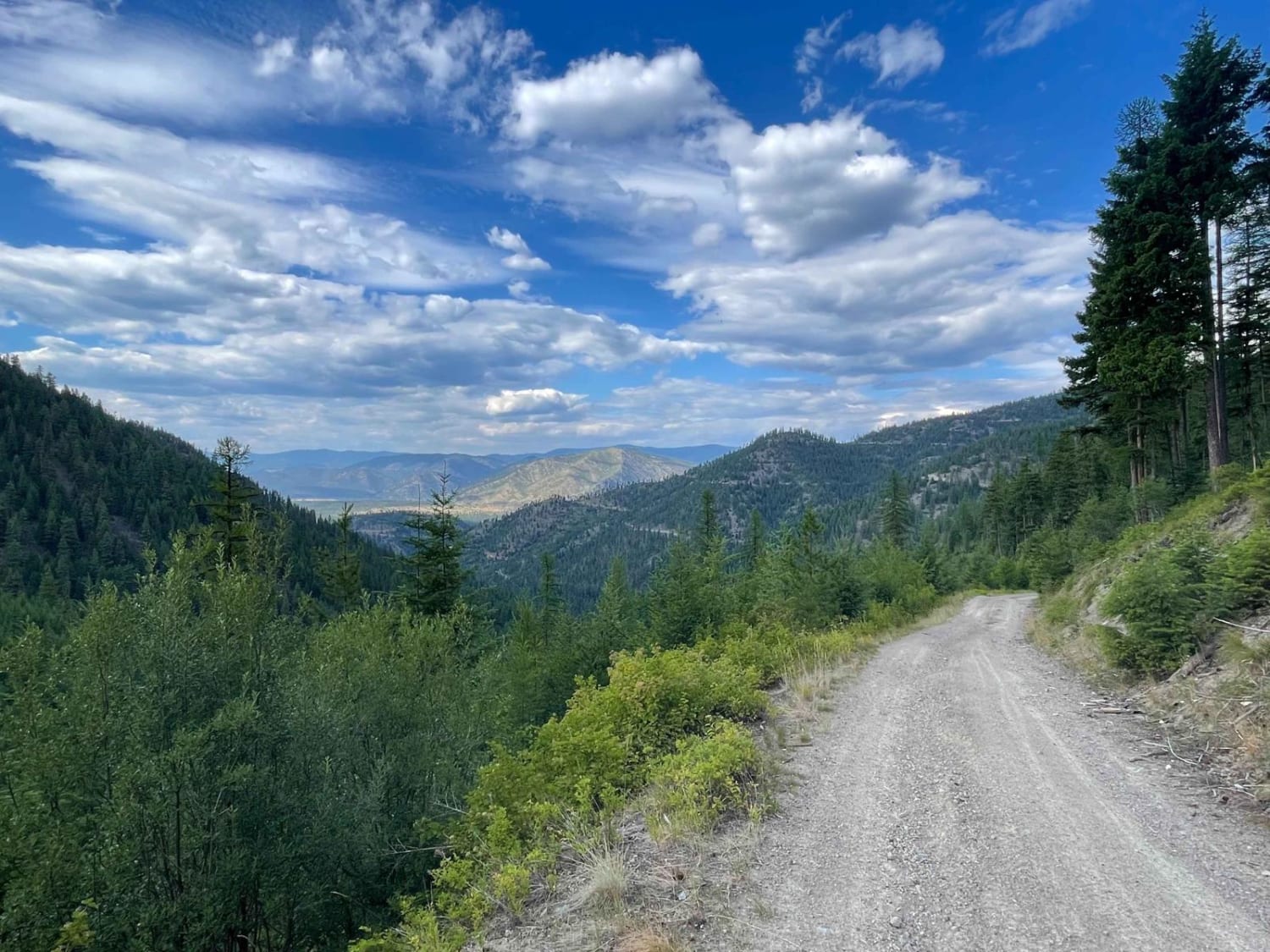
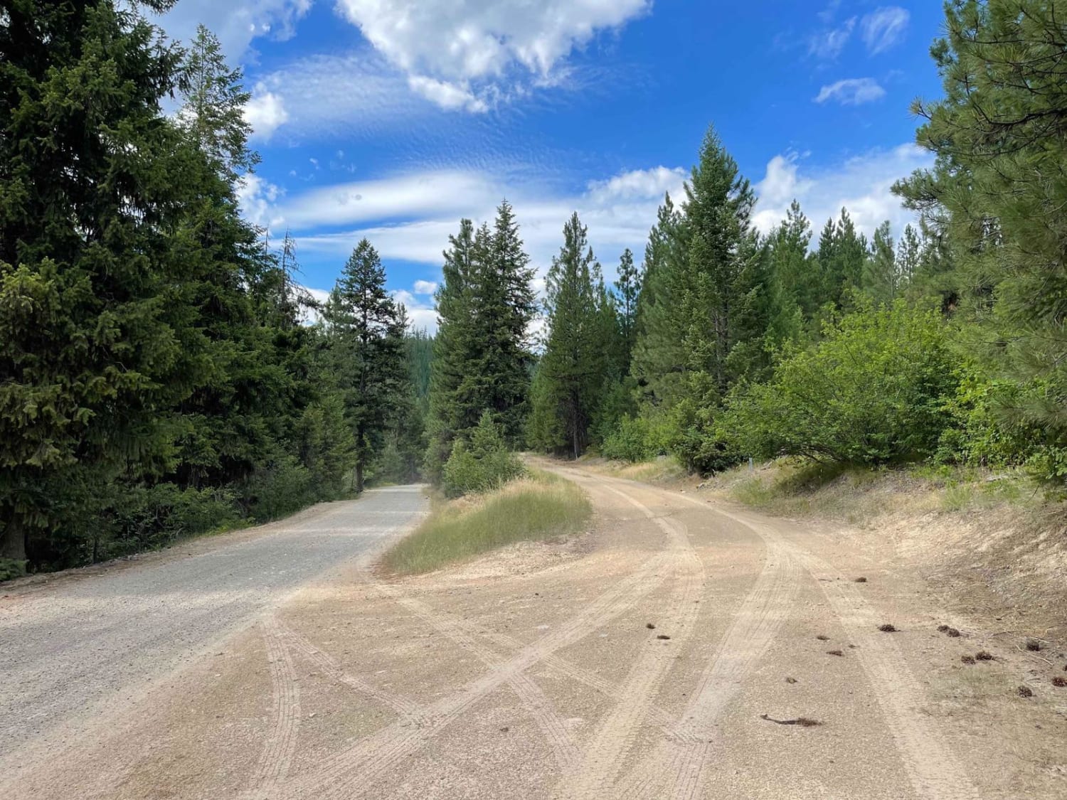
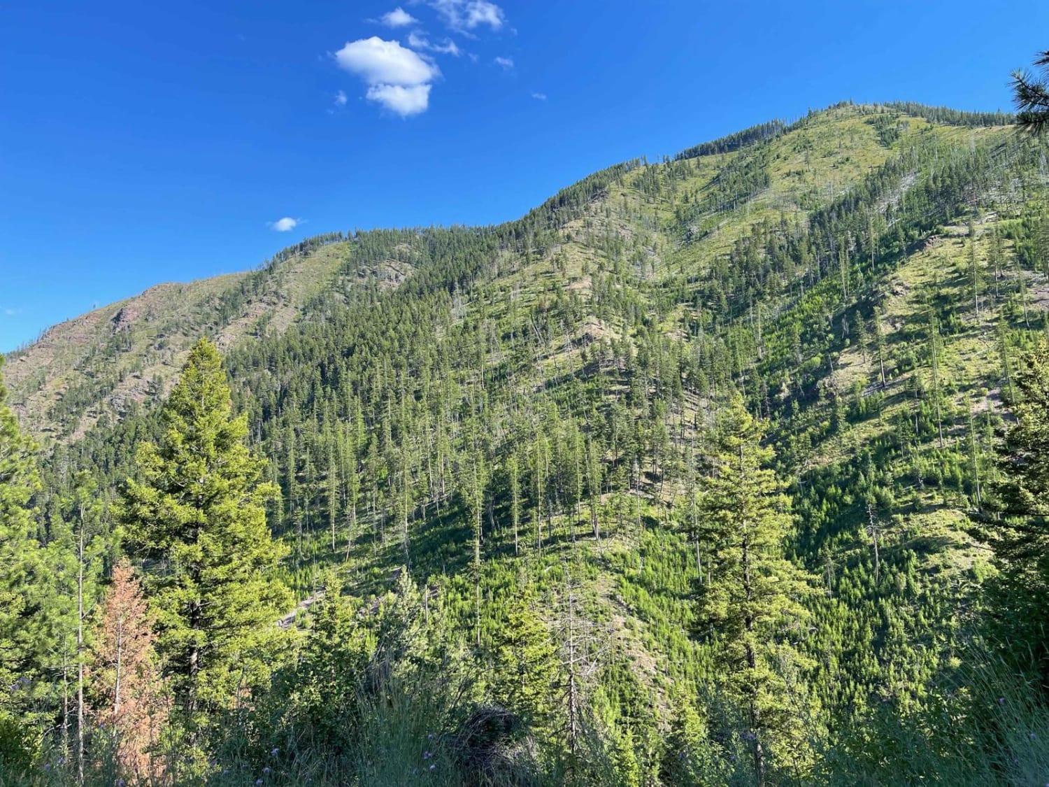
This great narrow connector trail twists and turns and bobs and dives through the hills, as it climbs one side of the saddle and then back down the other. The northern section of the saddle is relatively steep, with some loose sections, a few ruts, and some rainwater runoff mounds. This trail is a blast on a moto as you quickly get into a rhythm. The views from the trail are outstanding, and the shelf road has a pretty steep drop-off. This is not a good place to take a spill or not pay close attention to the trail, as boulders roll down from the hill above. There is even a lookout tower near the summit for those willing to get out and go for a hike. There is no Verizon cell service on the south side, with two bars of LTE on the north side.
Photos of Williams Pass
Difficulty
This trail is narrow with pullouts to pass oncoming vehicles, steep shelf drop-offs, ruts, long climb sections, and water calming hills.
Status Reports
Williams Pass can be accessed by the following ride types:
- High-Clearance 4x4
- SxS (60")
- ATV (50")
- Dirt Bike
Williams Pass Map
Popular Trails
West Fork Schwartz Creek
Lombard Coke Ovens

Cold Spring Hill Road
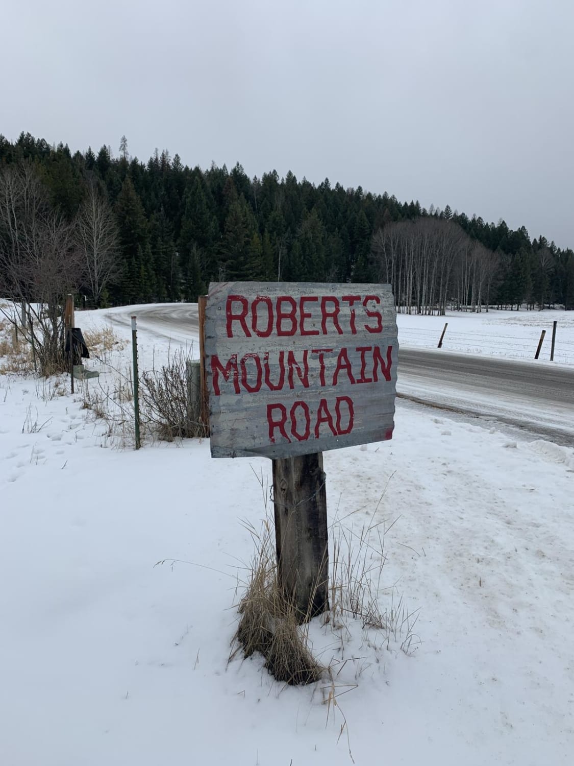
Robert's Mountain Trail
The onX Offroad Difference
onX Offroad combines trail photos, descriptions, difficulty ratings, width restrictions, seasonality, and more in a user-friendly interface. Available on all devices, with offline access and full compatibility with CarPlay and Android Auto. Discover what you’re missing today!