Book Cliffs, Sego Canyon
Total Miles
32.4
Technical Rating
Best Time
Spring, Fall
Trail Type
Full-Width Road
Accessible By
Trail Overview
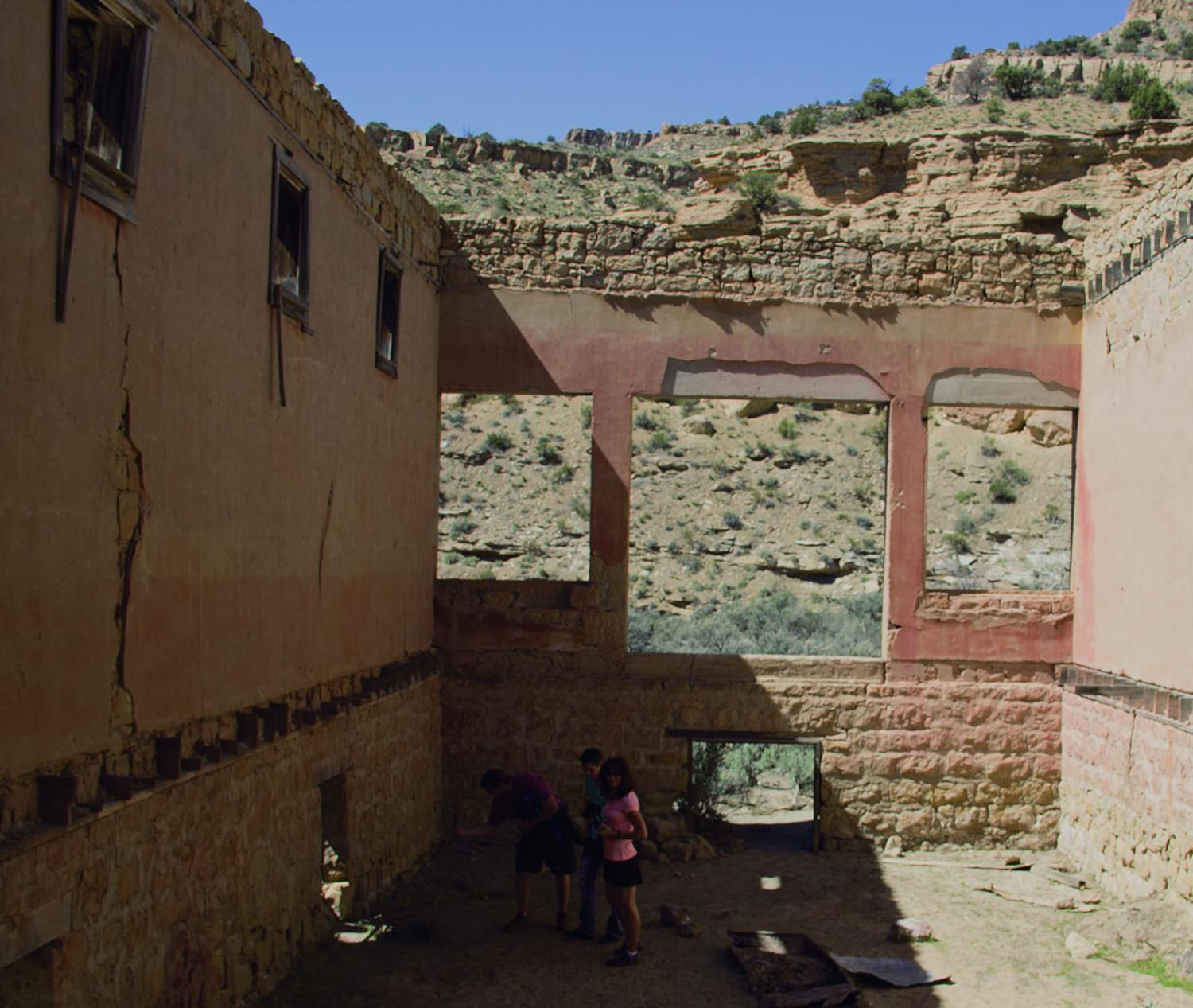
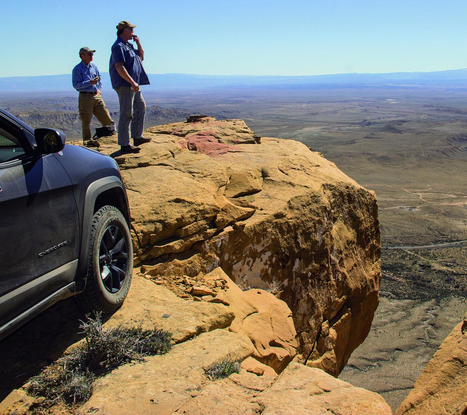
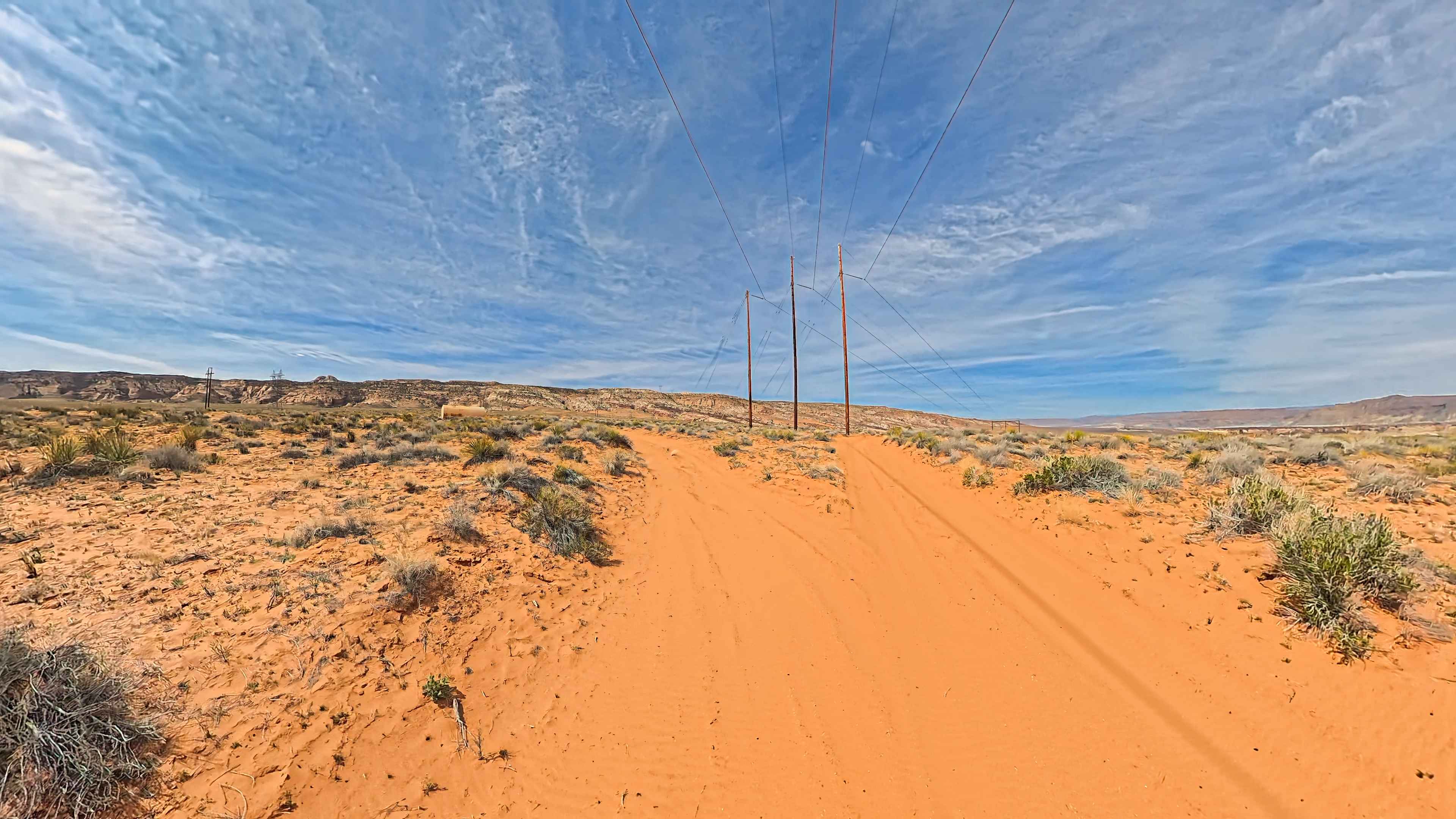
Are you in the mood for some beautiful views of Arches National Park, Merrimac Butte and Castle Valley? Pack a lunch and head to Book Cliffs, Sego Canyon. Doug's Point above Thompson Springs is a fun side trip and a great place for a picnic. Sego is a ghost town you can explore on your way to the high point at the end of Sego Canyon. Native American pictographs provide another option for a picnic. There is a staging area for ATVs and UTVs just north of the pavement. Make sure to remain on the designated routes, as this is a Wilderness Study Area.
Photos of Book Cliffs, Sego Canyon
Difficulty
Typically easy when dry, but can be impassable when wet. Side trip to Doug's Point is narrow with tight brush and is rocky in spots.
History
The town of Sego was built sometime after 1911 when the land was bought from a local rancher by a group of Salt Lake City investors. The land held great promise as a source of coal, but windling water supplies doomed the operation. Thirteen bridges were built as part of a railroad that serviced the town.The mine closed in 1947. Source: Henry Chenoweth, www.ghosttowns.com.
Status Reports
Book Cliffs, Sego Canyon can be accessed by the following ride types:
- High-Clearance 4x4
- SUV
- SxS (60")
- ATV (50")
- Dirt Bike
Book Cliffs, Sego Canyon Map
Popular Trails

West Side Currant Cr (FR 70471)

Woodside Ruins
Hoodoos and High Voltage

Parker Mountain Trail 14 to Junction Shallow Hollow Road
The onX Offroad Difference
onX Offroad combines trail photos, descriptions, difficulty ratings, width restrictions, seasonality, and more in a user-friendly interface. Available on all devices, with offline access and full compatibility with CarPlay and Android Auto. Discover what you’re missing today!