Slip Road
Total Miles
37.4
Technical Rating
Best Time
Summer, Fall
Trail Type
Full-Width Road
Accessible By
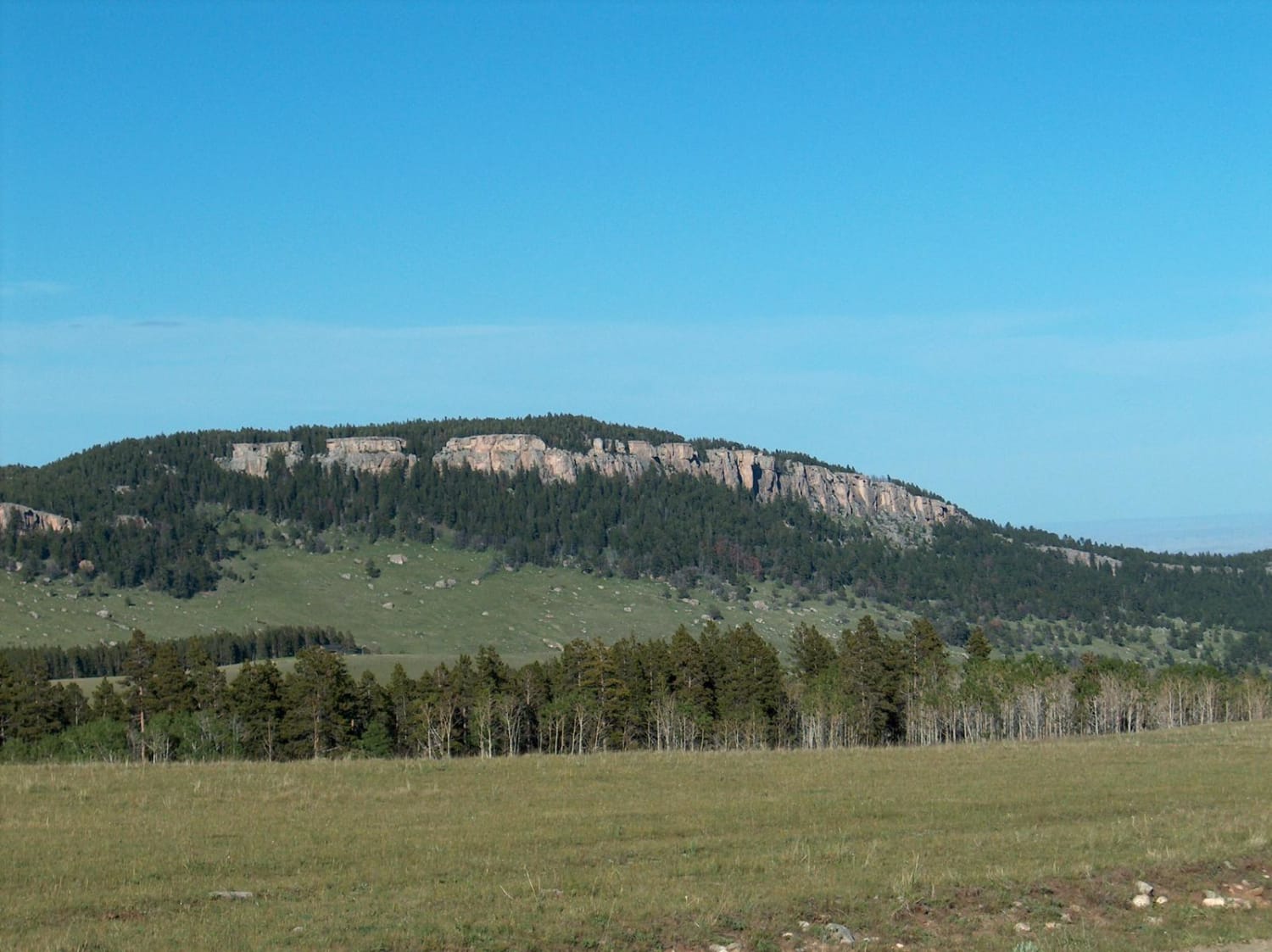
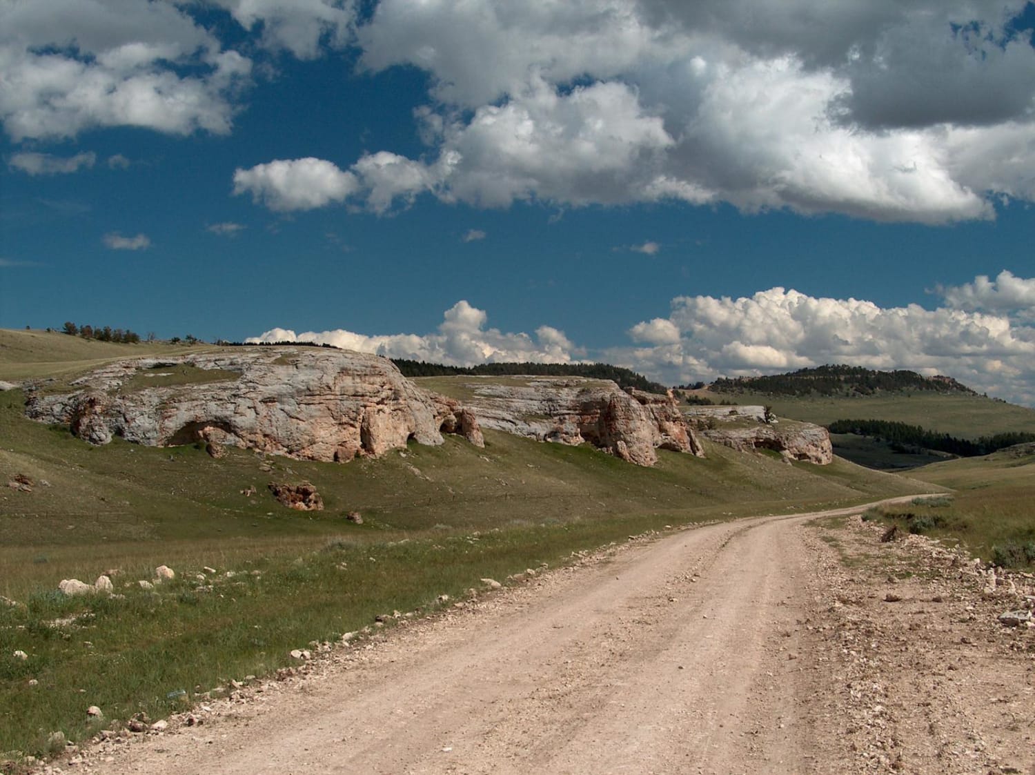
Trail Overview
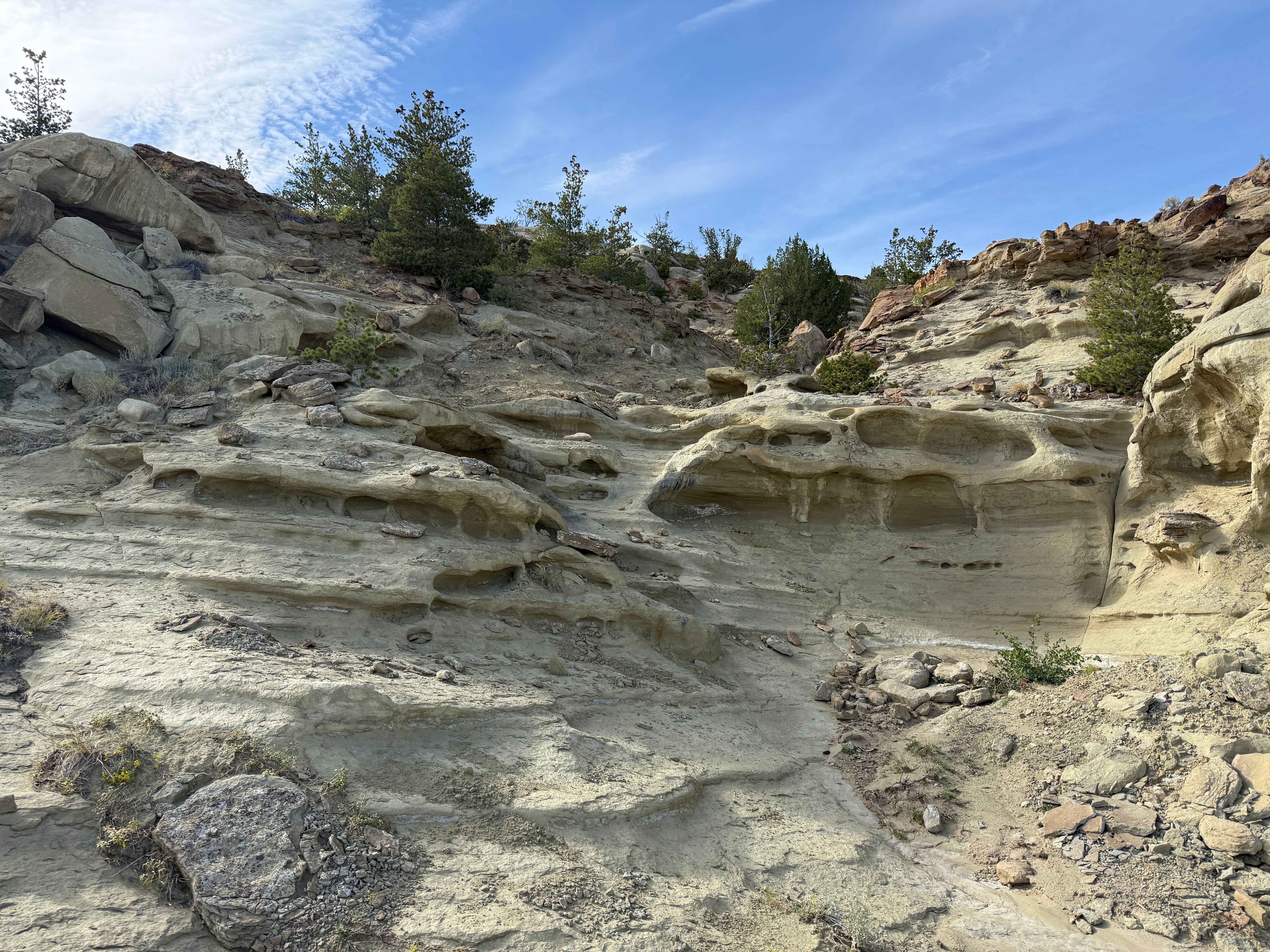
This beautiful drive connects the southern Bighorn National Forest to the small community of Mayoworth. The road's steep grades are almost as impressive as the scenery. Up high, you'll pass patchy forests, broad meadows, and rock outrcrops. The lower road is guarded by dramatic red bluffs. With broad landscapes that show little sign of human development, it's easy to imagine the area as it was when Butch Cassidy and the Sundance Kid roamed this country. Today, these rugged foothills are used for ranching and sheep grazing. Before making this drive, be mindful of the weather. Powerful summer thunderstorms can quickly flush out a parched creek bed and the area has a history of flooding. The upper stretch of road is prone to becoming muddy and slick, but the lower half is heavily graveled and holds up better in wet weather.
Photos of Slip Road
Difficulty
While this is typically an easy route to drive, wet conditions can cause the road to become dangerously slippery. Further, the inclines found along the switchbacks are so steep that it's possible to over heat your engine or brakes. A 4WD vehicle is recommended.
Status Reports
Slip Road can be accessed by the following ride types:
- High-Clearance 4x4
- SUV
- SxS (60")
- ATV (50")
- Dirt Bike
Slip Road Map
Popular Trails
Brooks Lake

Marquette Access Road
Fred Pooped Here
The onX Offroad Difference
onX Offroad combines trail photos, descriptions, difficulty ratings, width restrictions, seasonality, and more in a user-friendly interface. Available on all devices, with offline access and full compatibility with CarPlay and Android Auto. Discover what you’re missing today!