Buffalo Ridge Road
Total Miles
3.4
Technical Rating
Best Time
Spring, Summer, Fall, Winter
Trail Type
Full-Width Road
Accessible By
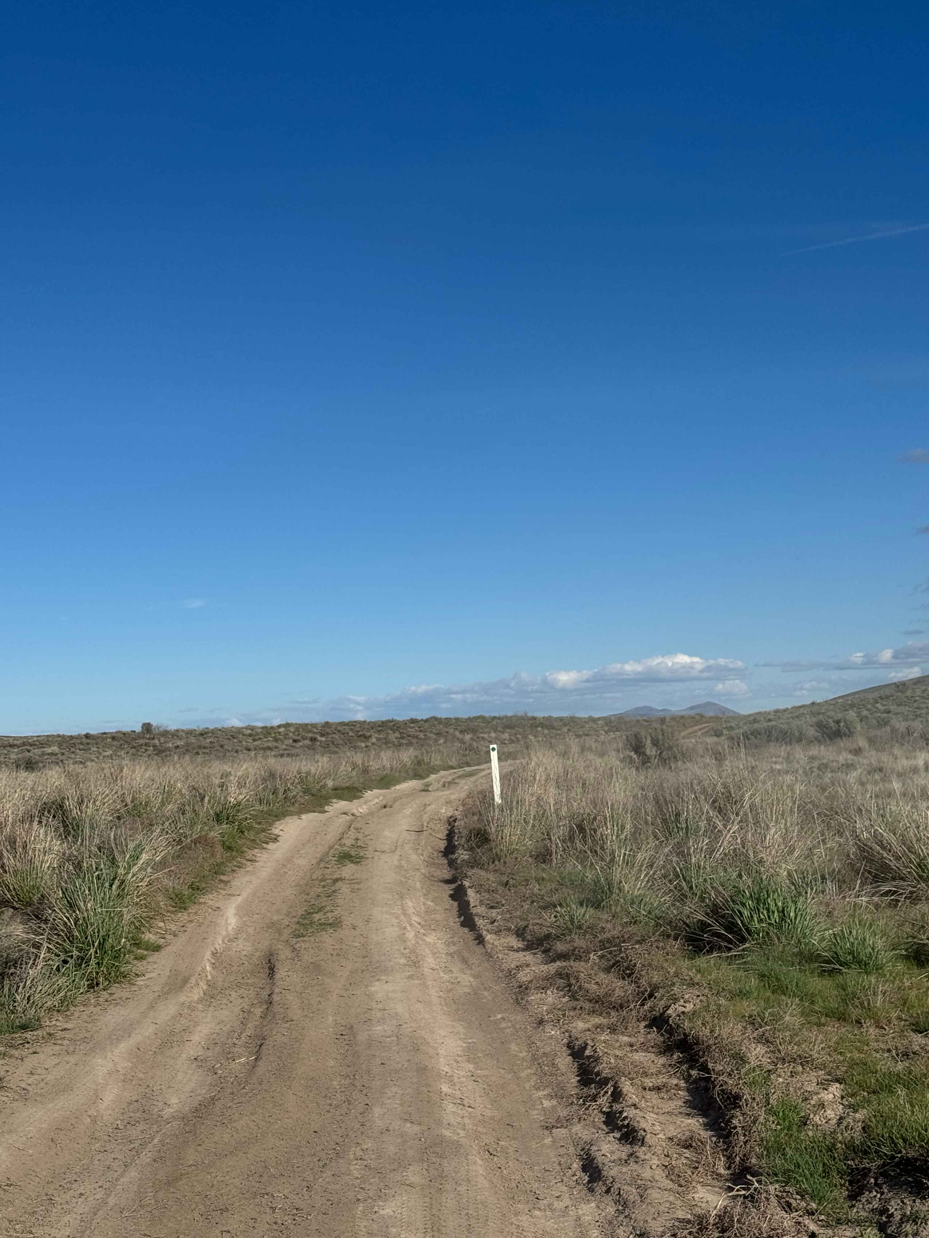
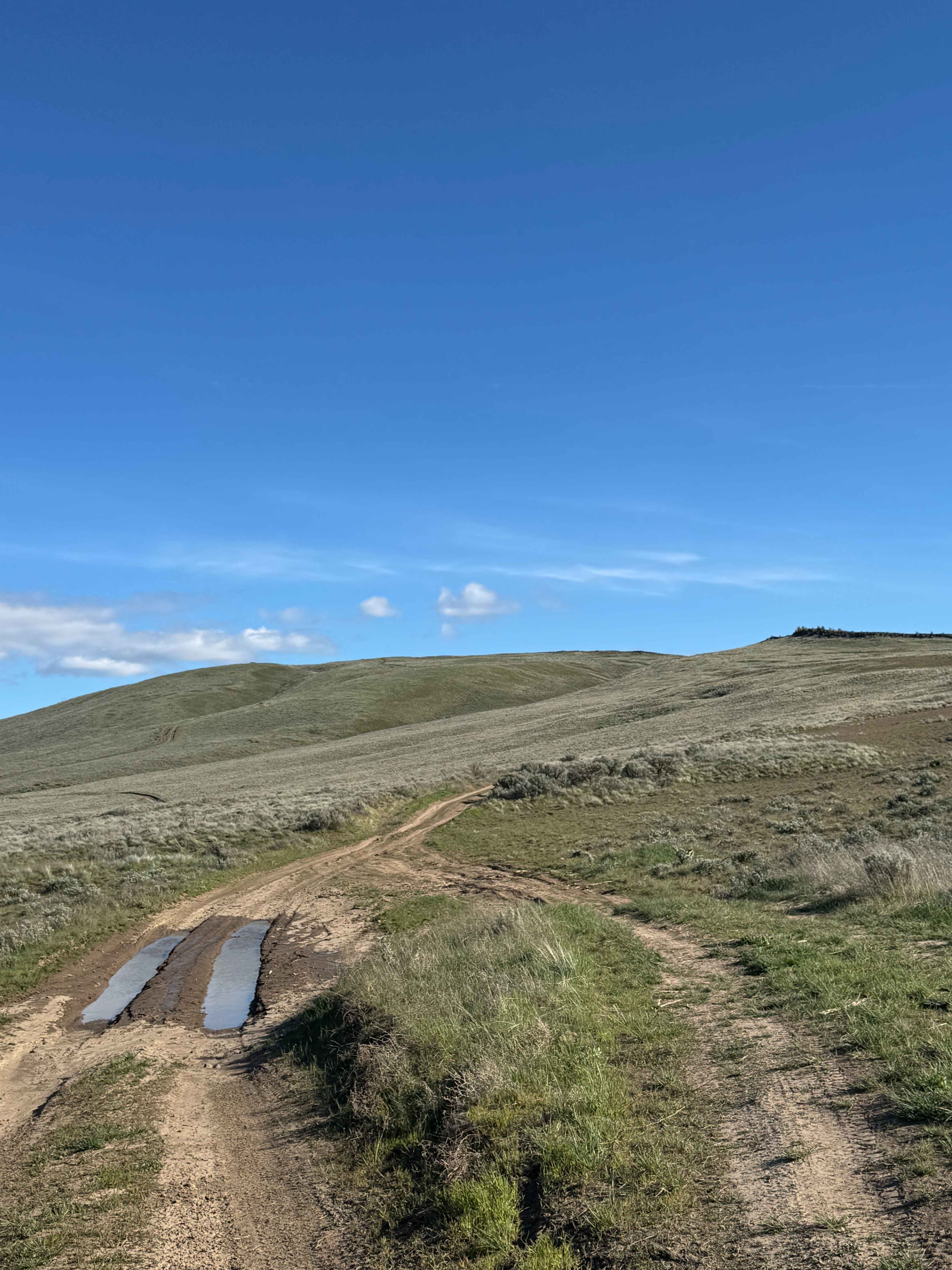
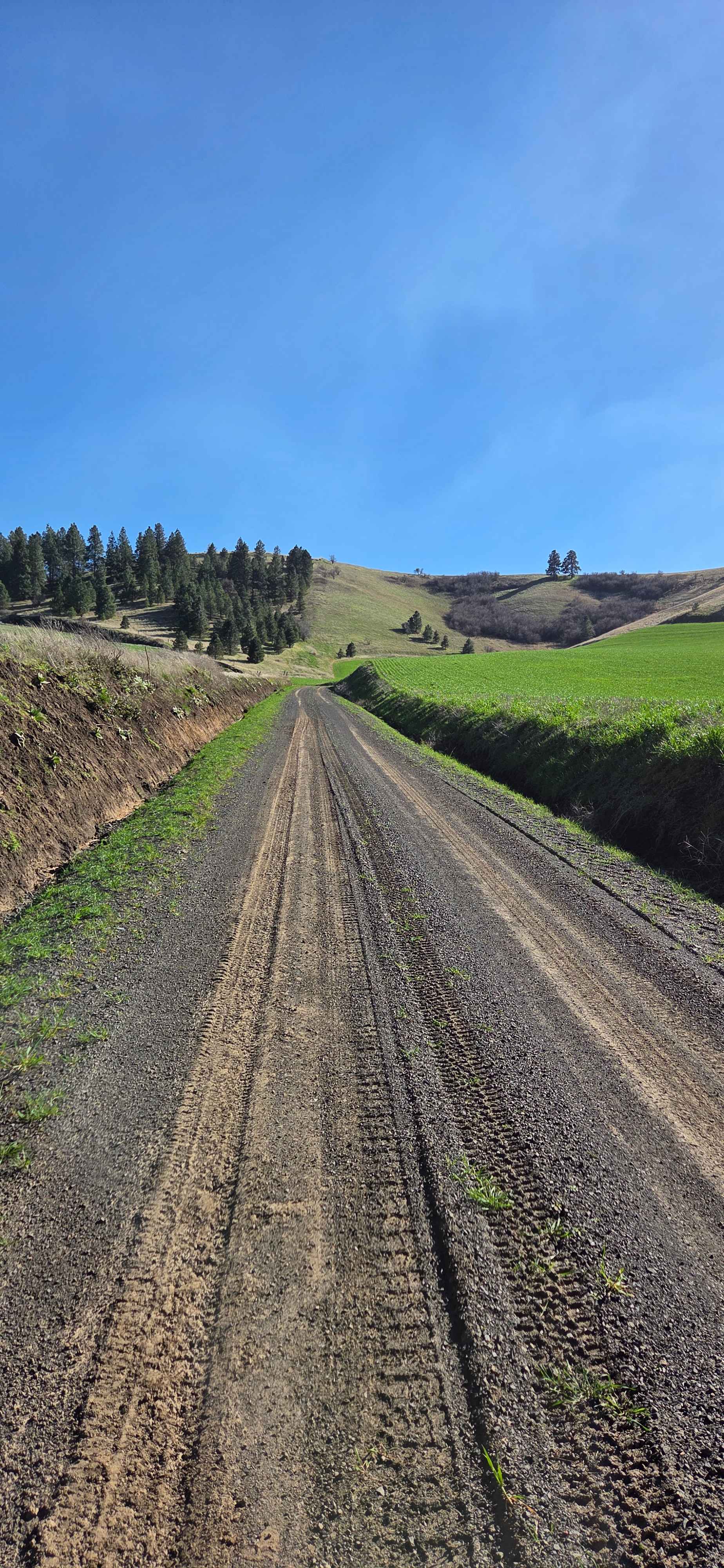
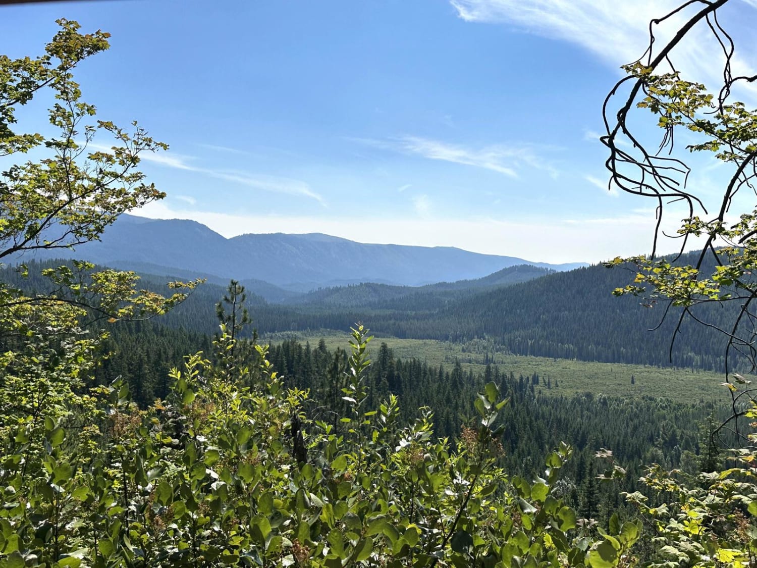
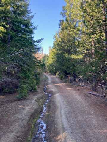
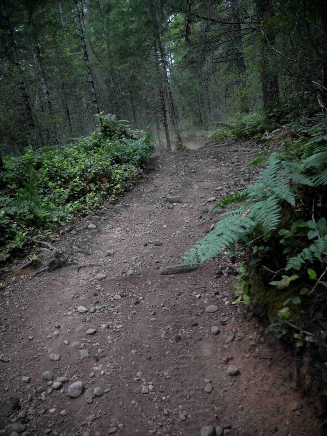
Trail Overview
This trail is mostly dirt with some rock garden sections and minor wash/ruts. The trail steadily climbs to the top of a ridge with a 14 percent pitch at one point, but once you make it to the top of the ridge, the views are stunning. This trail ends at a fence row, and becomes the Skyline Trail, which States "No Motorized Use". At the top, you will have a view of Mt Adams, Mt Ranier, and over to the peaks of the Alpine Lakes. There was a mud hole about midway with an alternate/bypass around the mud, and a couple of sections that were very rocky and bumpy. Cellphone service was decent, and the top was extremely windy, but it offers a very scenic camping location, as camping is allowed along this route within 100 feet of the trail. A Discover Pass is required to travel in this area, as it is state-owned land. High Clearance 4x4 recommended with a good set of tires.
Photos of Buffalo Ridge Road
Difficulty
Steep, one-lane trail with some ruts and rock garden sections.
Status Reports
Buffalo Ridge Road can be accessed by the following ride types:
- High-Clearance 4x4
- SUV
- SxS (60")
- ATV (50")
- Dirt Bike
Buffalo Ridge Road Map
Popular Trails
Range Grade Road
Meadow Ridge Trail
Hillside Strangler
The onX Offroad Difference
onX Offroad combines trail photos, descriptions, difficulty ratings, width restrictions, seasonality, and more in a user-friendly interface. Available on all devices, with offline access and full compatibility with CarPlay and Android Auto. Discover what you’re missing today!