Rotenberger Perimeter Trail
Total Miles
16.8
Technical Rating
Best Time
Spring, Fall, Winter, Summer
Trail Type
Full-Width Road
Accessible By
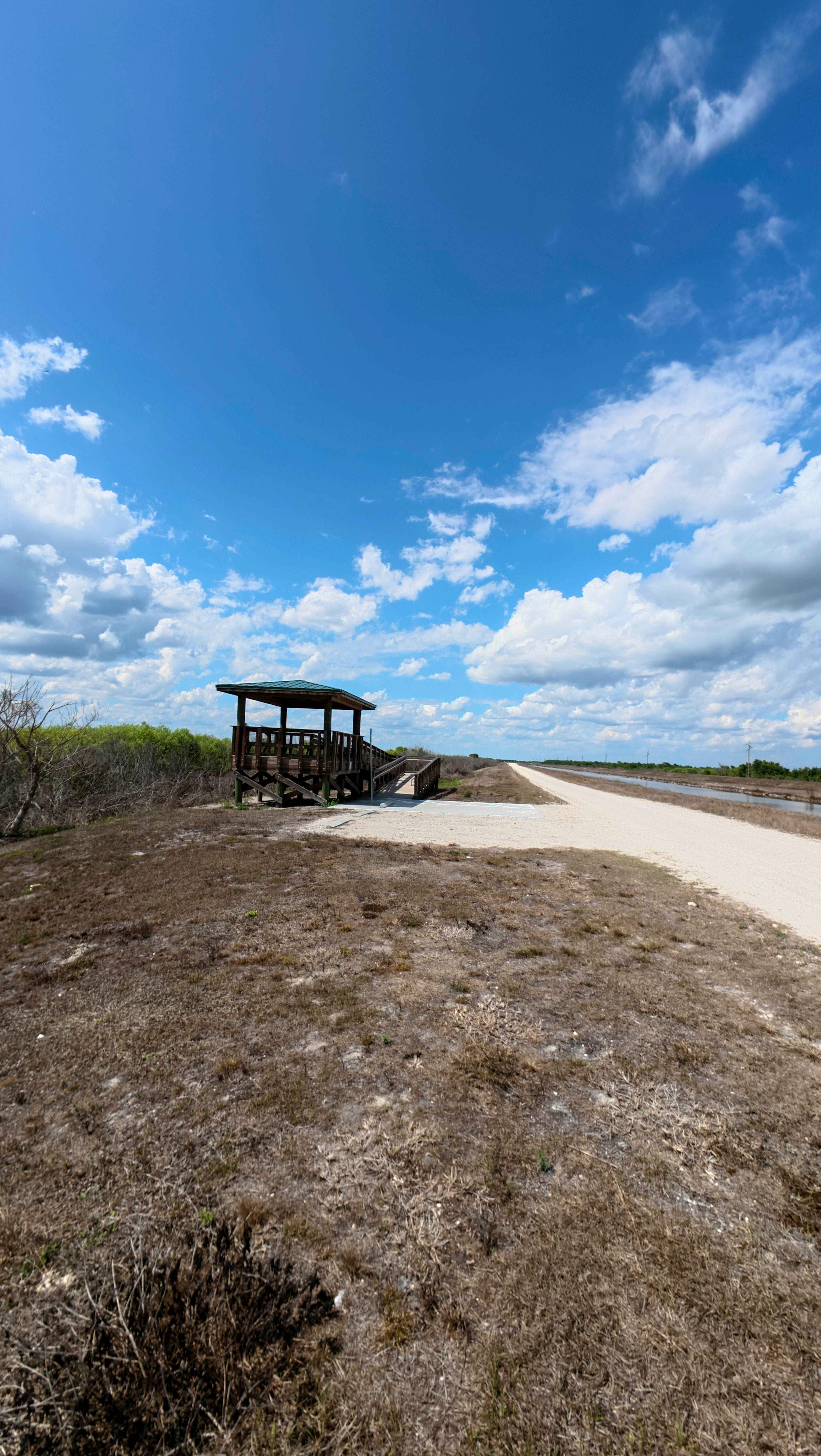
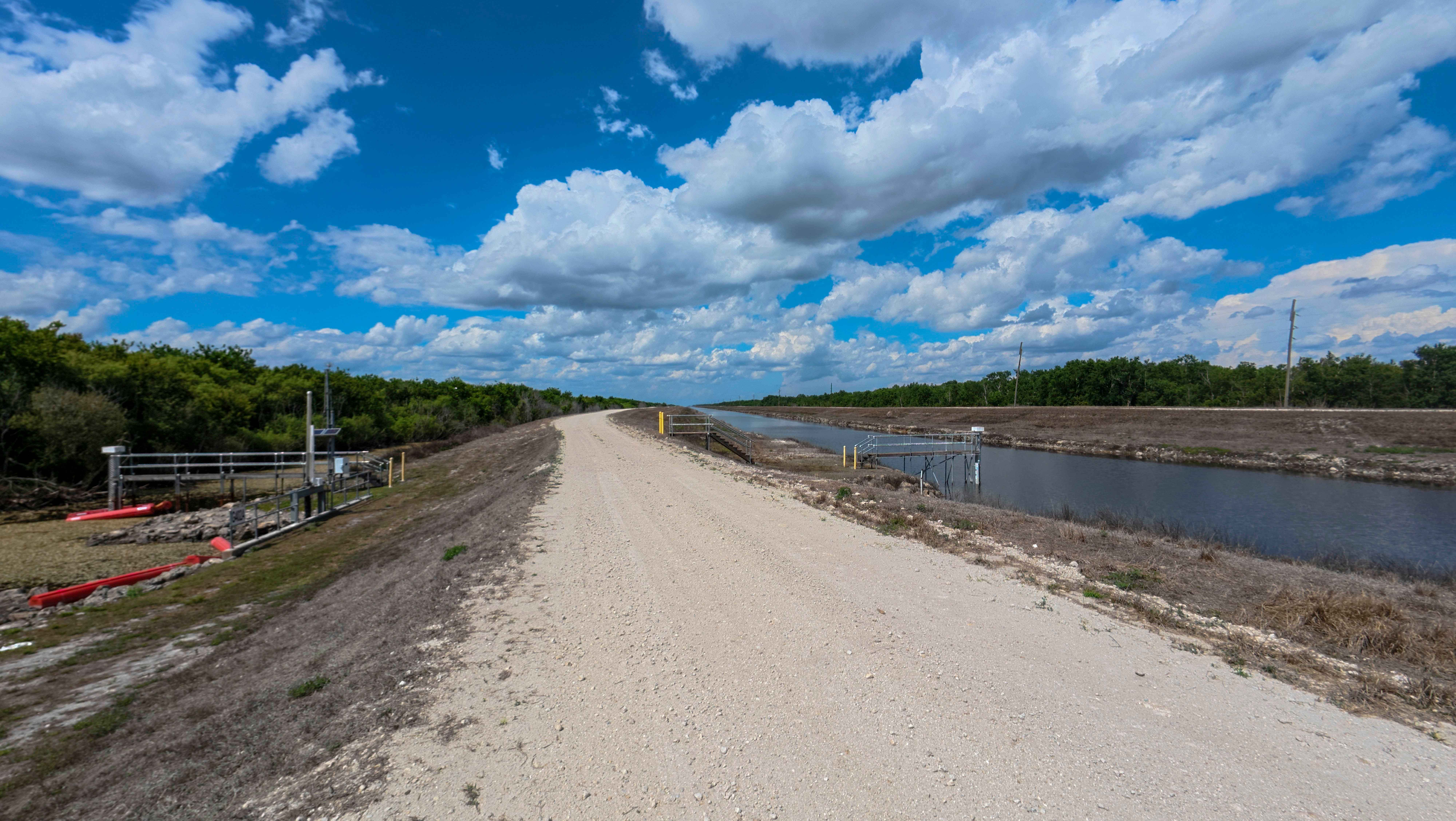
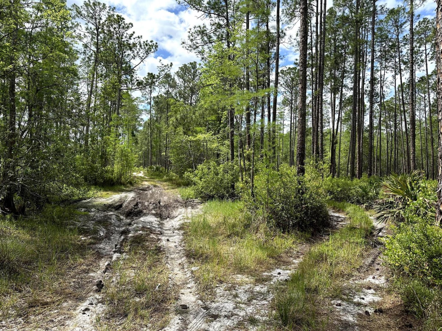
Trail Overview
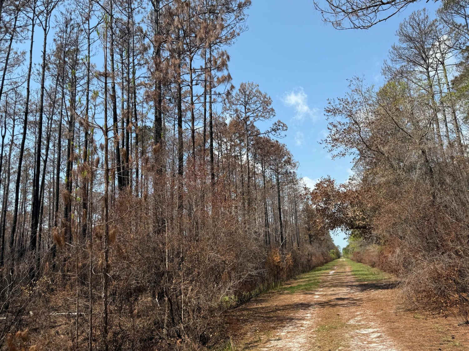
The Rotenberger Perimeter Trail offers a scenic and rugged outline around the conservation area, defined by a narrow track that frequently develops heavy washboards and requires a steady pace. This trail is a premier destination for wildlife viewing and fishing, featuring a dedicated overlook station that provides sweeping, elevated views across the vast Rotenberger Wildlife Area. The route is lined with prime fishing spots along the canal banks, and the open landscape offers amazing views of the South Florida horizon, especially at sunrise or sunset. While the terrain is generally straightforward, the persistent corrugation of the trail surface and the abundance of sunbathing alligators and wading birds make it a route best enjoyed at a slower, more observant speed.
Photos of Rotenberger Perimeter Trail
Difficulty
This trail is typically easy but can become muddy after rain. Expect frequent washboard sections and occasional narrowing of the route, and watch for potholes throughout.
Status Reports
Rotenberger Perimeter Trail can be accessed by the following ride types:
- High-Clearance 4x4
- SUV
- SxS (60")
- ATV (50")
- Dirt Bike
Rotenberger Perimeter Trail Map
Popular Trails
East Mainline
Richloam WMA Elmers Glue

Dark Entry Road
The onX Offroad Difference
onX Offroad combines trail photos, descriptions, difficulty ratings, width restrictions, seasonality, and more in a user-friendly interface. Available on all devices, with offline access and full compatibility with CarPlay and Android Auto. Discover what you’re missing today!