Red Grade Road
Total Miles
34.9
Technical Rating
Best Time
Spring, Summer, Fall
Trail Type
Full-Width Road
Accessible By
Trail Overview
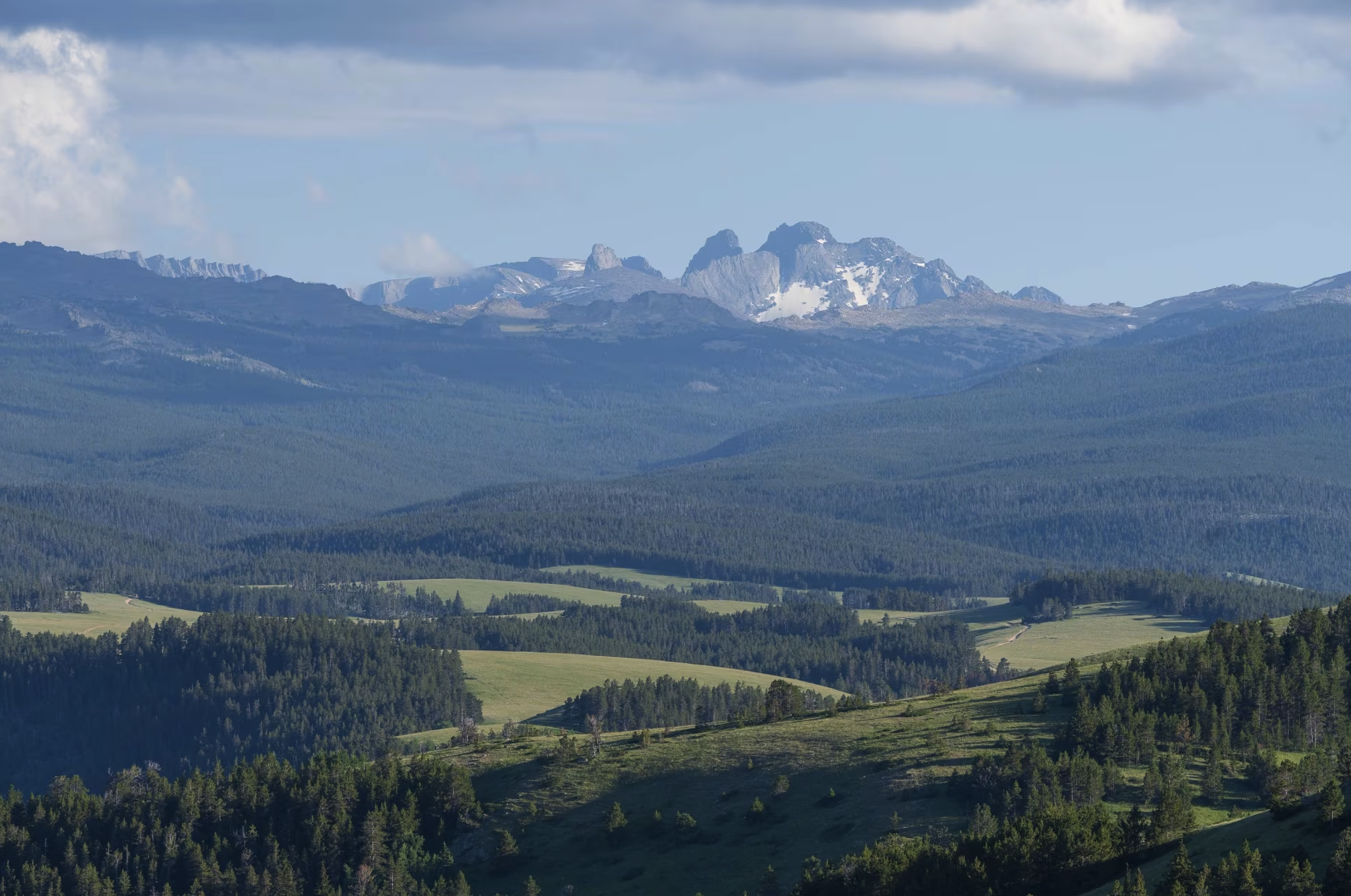
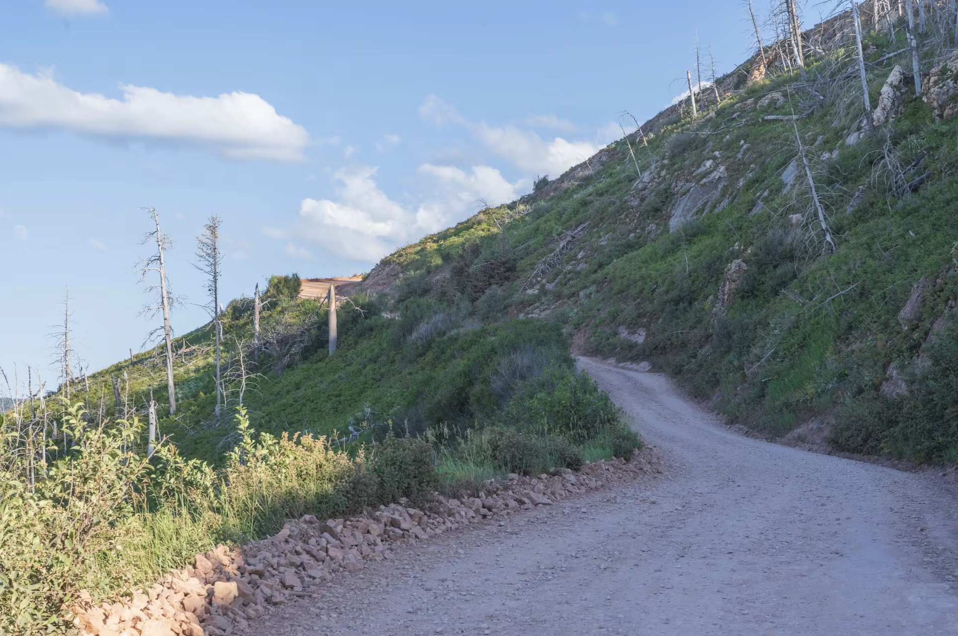
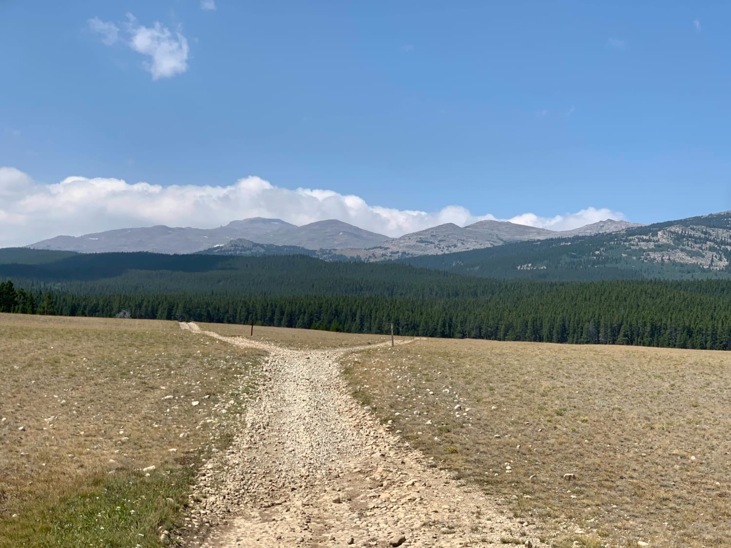
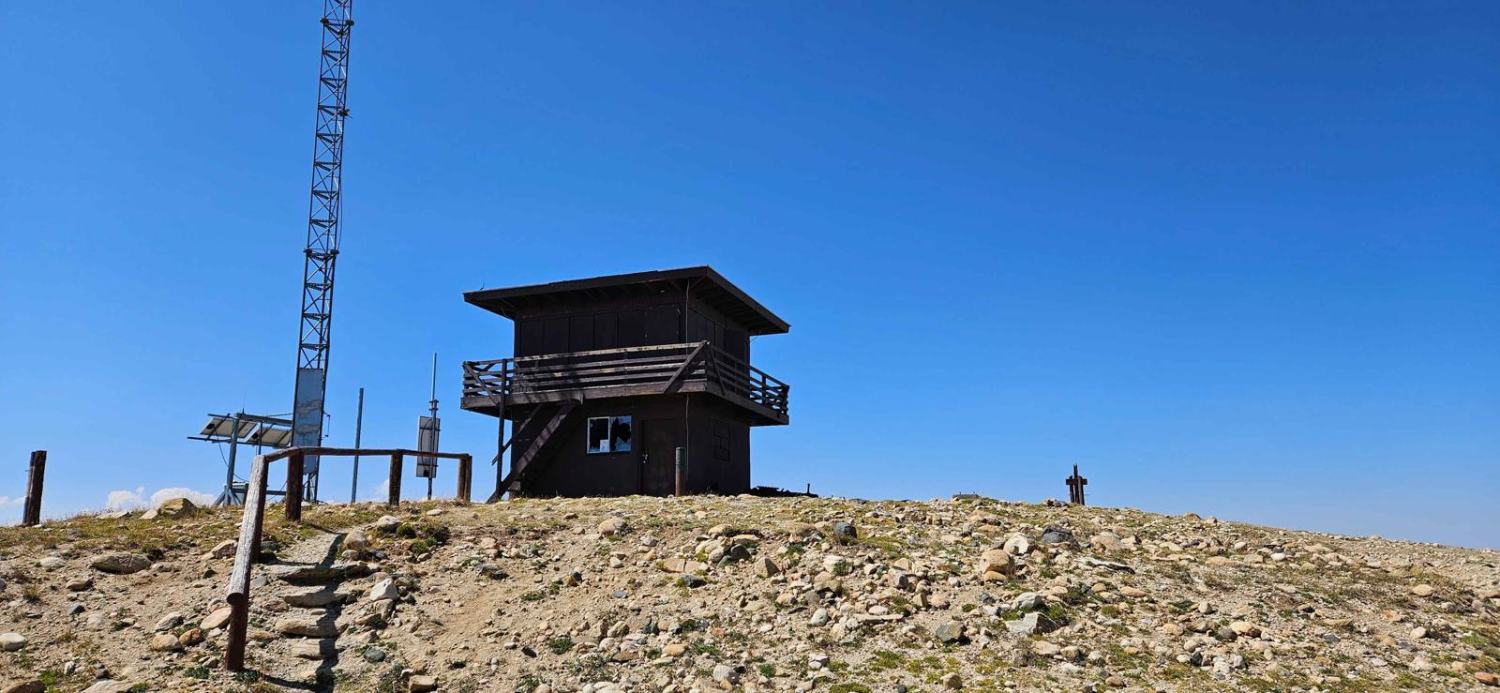
Red Grade Road traverses Bighorn National Forest from its eastern boundary near Big Horn, Wyoming to US-14 in the center of the forest, providing access to numerous views of the Cloud Peak Wilderness and additional trails and recreation opportunities. The trail is well-graded dirt with a few rocky and rutted sections, and is two vehicles wide or has room to pass in most places. The trail quickly ascends, with a few steep sections with loose gravel and 2-4" rocks. After reaching the top, the trail opens to sweeping views of the Cloud Peak Wilderness and surrounding mountains while traversing mountain ridges. Numerous side trails provide access to additional motorized trails and dispersed camping. The trail passes an area with multiple lakes, a few open meadows with wildflowers and mountain views, and parallels the East Fork South Tongue River towards the end of the trail. The trail is also known as Sheridan County Route 26 / FR 26.
Photos of Red Grade Road
Difficulty
The trail is well graded dirt with a few rocky and rutted sections, and is two vehicles wide or has room to pass in most places.
Status Reports
Red Grade Road can be accessed by the following ride types:
- High-Clearance 4x4
- SUV
- SxS (60")
- ATV (50")
- Dirt Bike
Red Grade Road Map
Popular Trails
Overland Stage Route to Fort La Clede

West Fork Smiths Fork
The onX Offroad Difference
onX Offroad combines trail photos, descriptions, difficulty ratings, width restrictions, seasonality, and more in a user-friendly interface. Available on all devices, with offline access and full compatibility with CarPlay and Android Auto. Discover what you’re missing today!