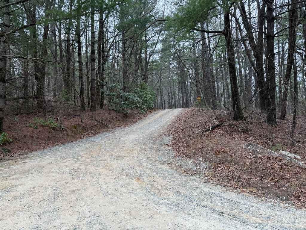
Naked Creek Lane
Total Miles
5.1
Technical Rating
Best Time
Spring, Summer, Fall
Trail Type
Full-Width Road
Accessible By
Trail Overview
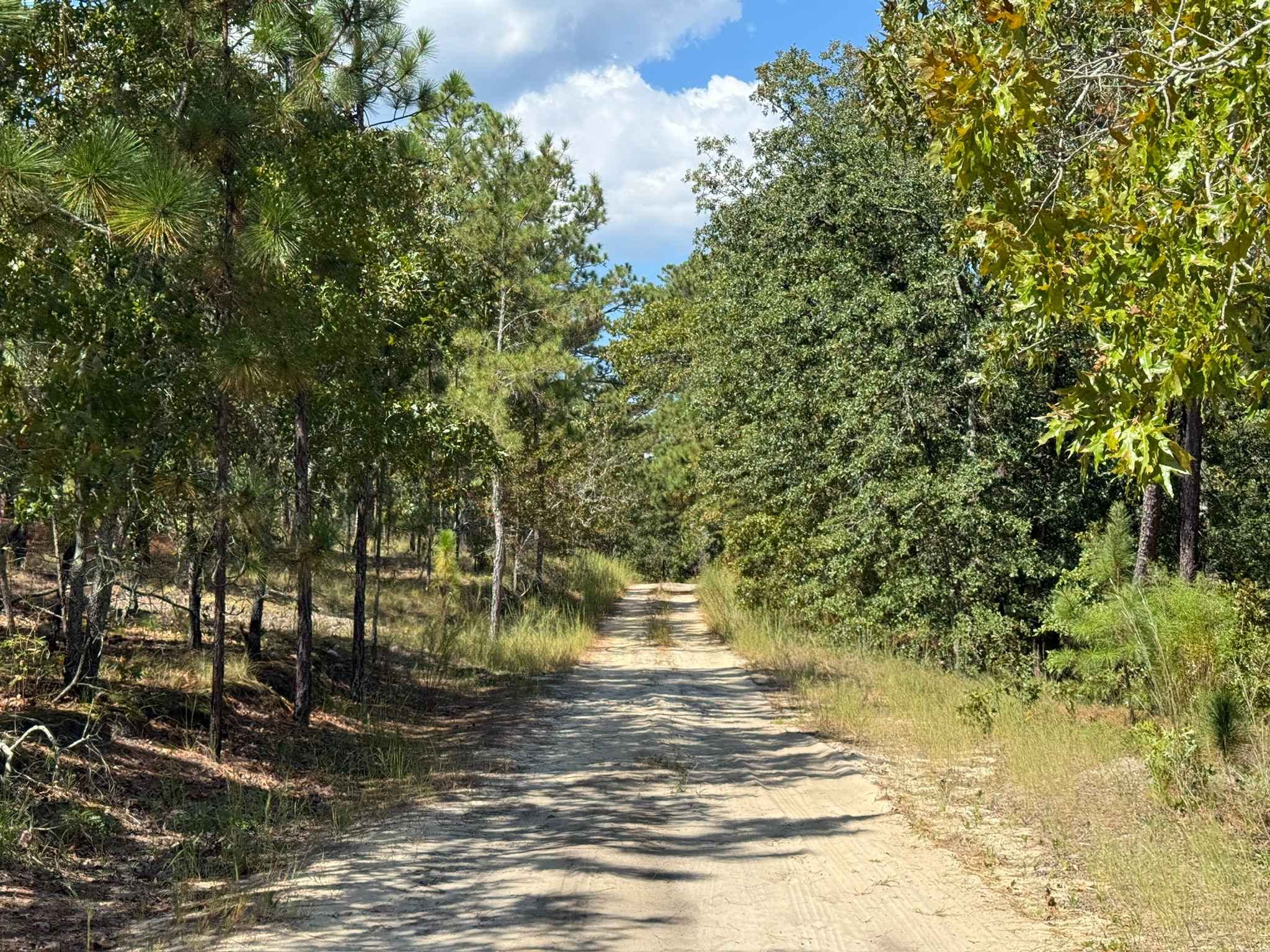
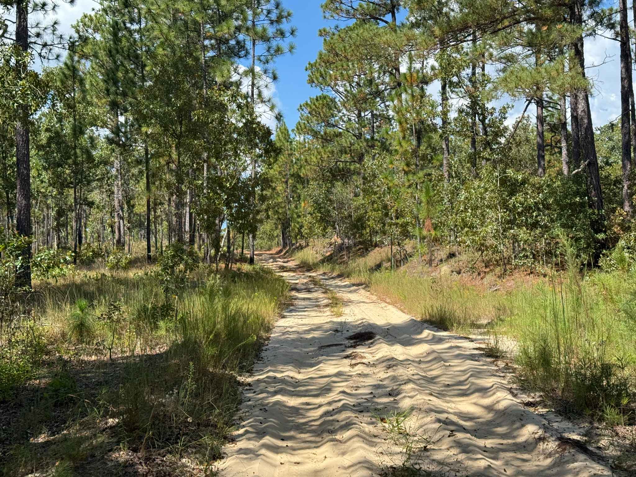
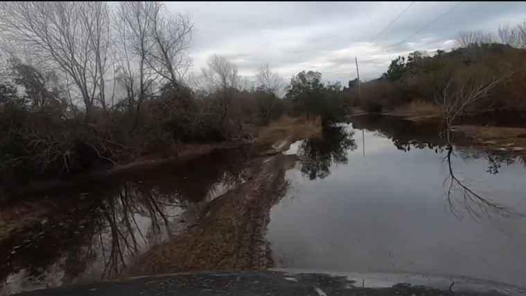
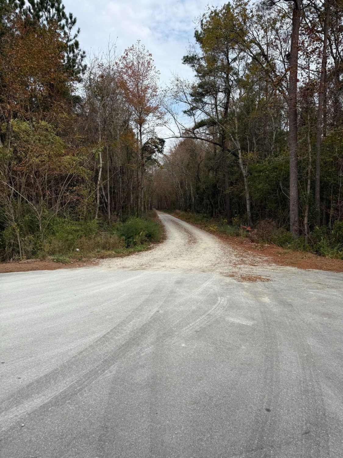
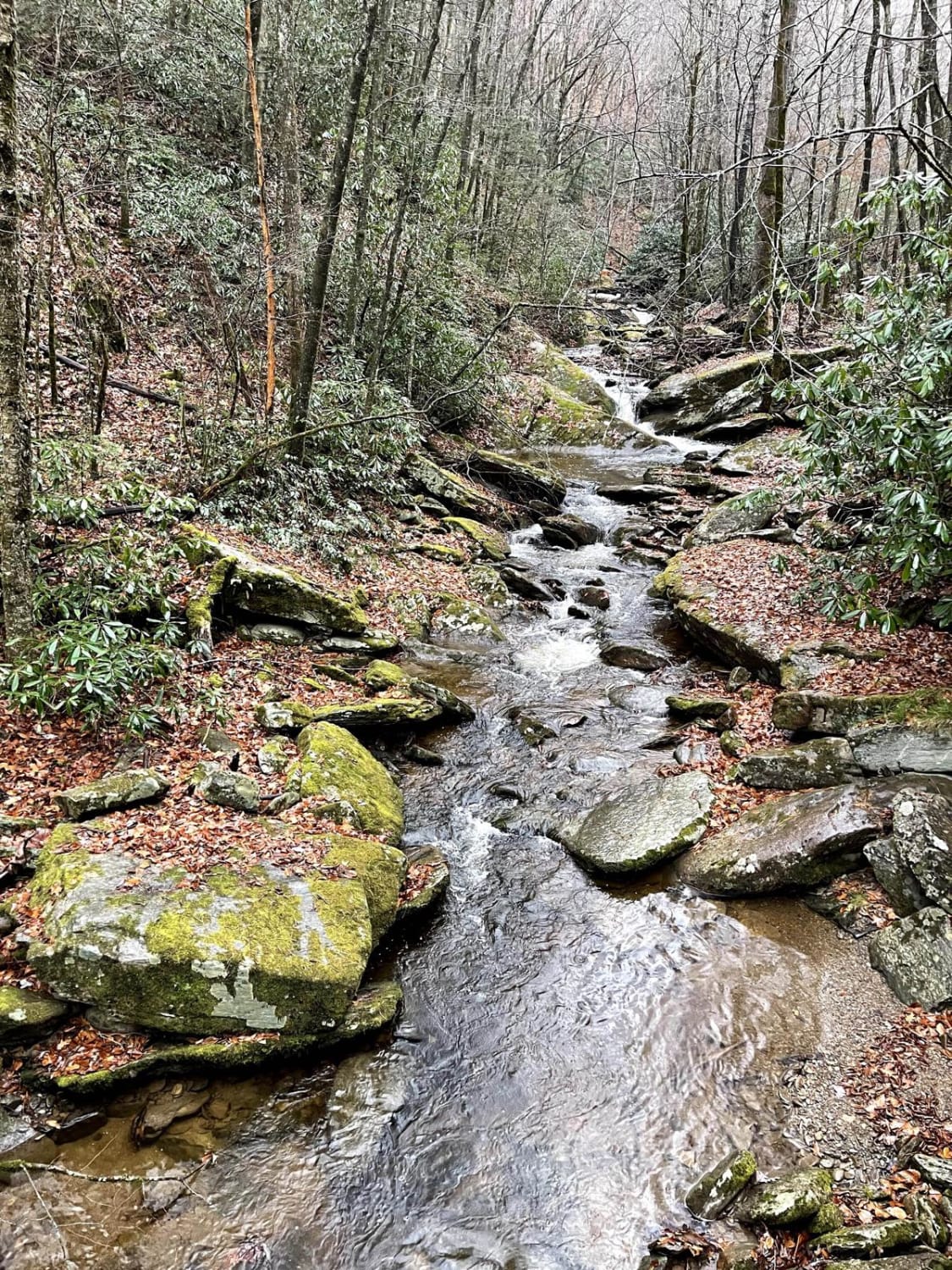
Naked Creek Lane is a major east-west road located in the northernmost portion of the Sandhills Game Lands. Of the primary named roads, it is arguably the least maintained, tending to be narrower and slightly rougher than others in the area. Despite this, there are a few significant obstacles, though conditions can change depending on the weather and traffic. Along the trail, several small hill climbs with light rutting are present, but most can be nearly avoided with careful line selection. Additional minor challenges include patches of loose sand that may cause difficulty for poorly equipped vehicles and slight off-camber sections that, while not severe, can feel unsettling. According to the North Carolina Wildlife Resources Commission, the trail continues west beyond the currently marked section; however, that portion has become heavily overgrown and is nearly impassable. Due to its proximity to the nearest highway, this trail can see more traffic than some others in the game lands. Drivers should remain alert for oncoming vehicles, military trainees, hikers, and wildlife along the route.
Photos of Naked Creek Lane
Difficulty
The trail is generally less maintained than others in the area, resulting in a slightly rougher overall ride. Despite this, most obstacles are relatively minor, with the most challenging section being a lightly rutted, off-camber stretch. It is important to keep in mind that conditions can change with weather and continued trail wear, particularly given the sandy surface, which is prone to shifting and erosion.
History
In mid-2025, a fallen tree blocked the western end of the trail, temporarily preventing through access. Since then, a bypass has been worn around the tree, restoring access to the remainder of the route. Additionally, due to limited maintenance and continued overgrowth, the far western portion of the trail has become impassable. As a result, the usable length of the trail is currently shorter than what is indicated by the NCWRC.
Status Reports
Naked Creek Lane can be accessed by the following ride types:
- High-Clearance 4x4
- SUV
Naked Creek Lane Map
Popular Trails
Ocean Pearl Road - The Gauntlet
North Carolina Outward Bound School Road
Creek Side Scenic Drive
The onX Offroad Difference
onX Offroad combines trail photos, descriptions, difficulty ratings, width restrictions, seasonality, and more in a user-friendly interface. Available on all devices, with offline access and full compatibility with CarPlay and Android Auto. Discover what you’re missing today!