Lowboy Mine - FS 43251
Total Miles
2.5
Technical Rating
Best Time
Spring, Summer, Fall
Trail Type
Full-Width Road
Accessible By
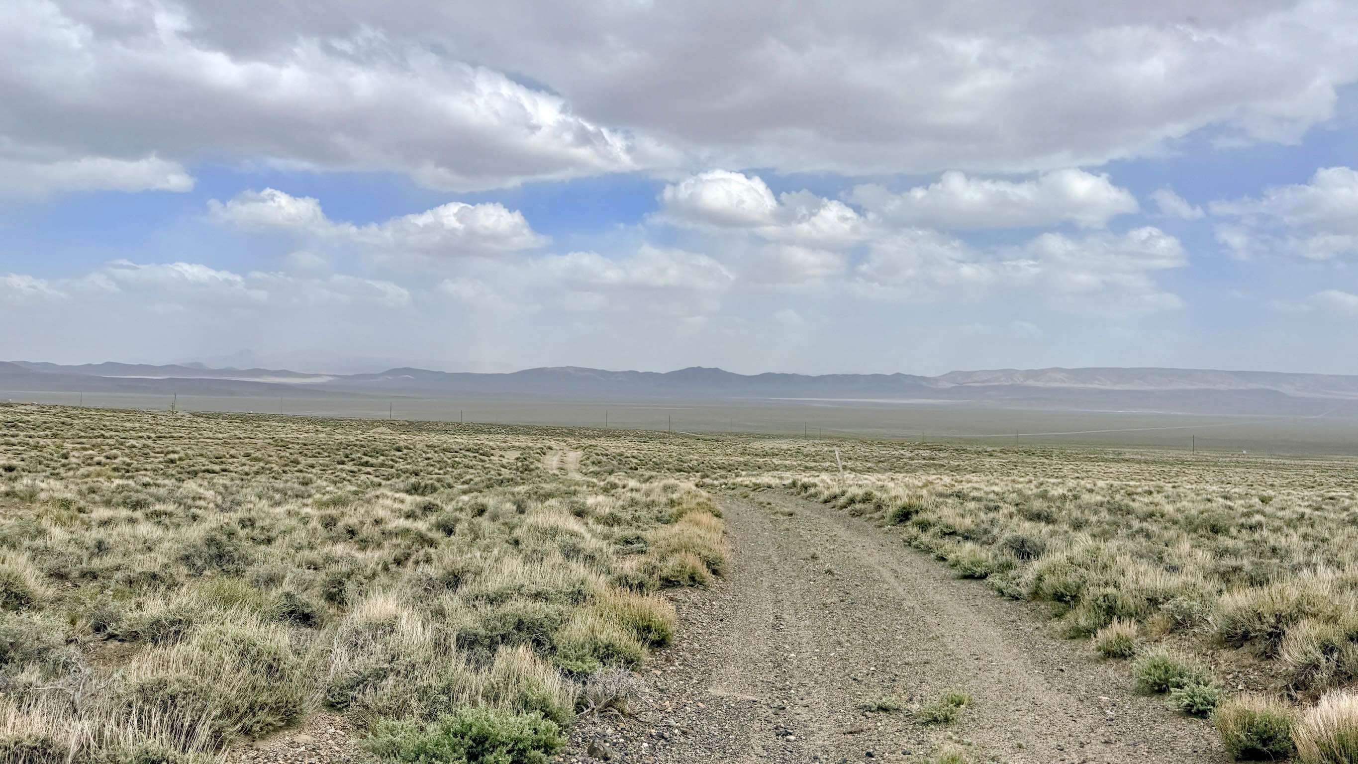
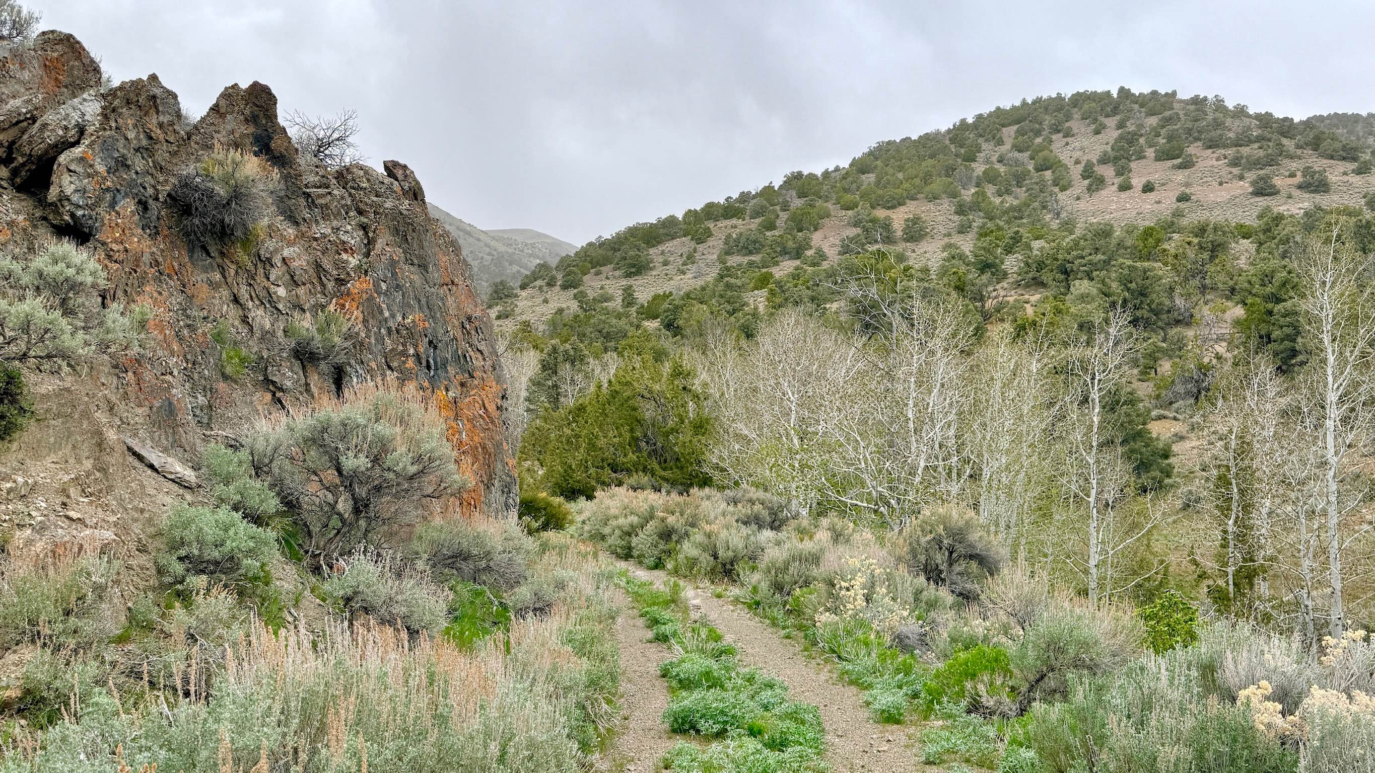
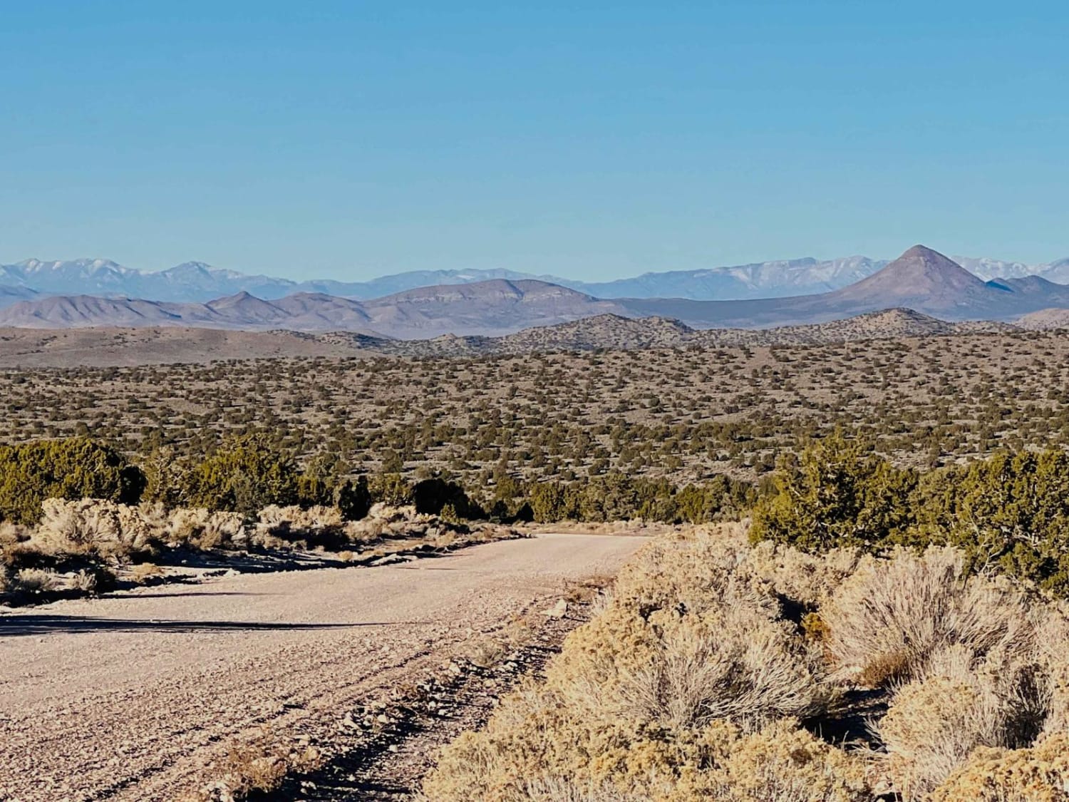
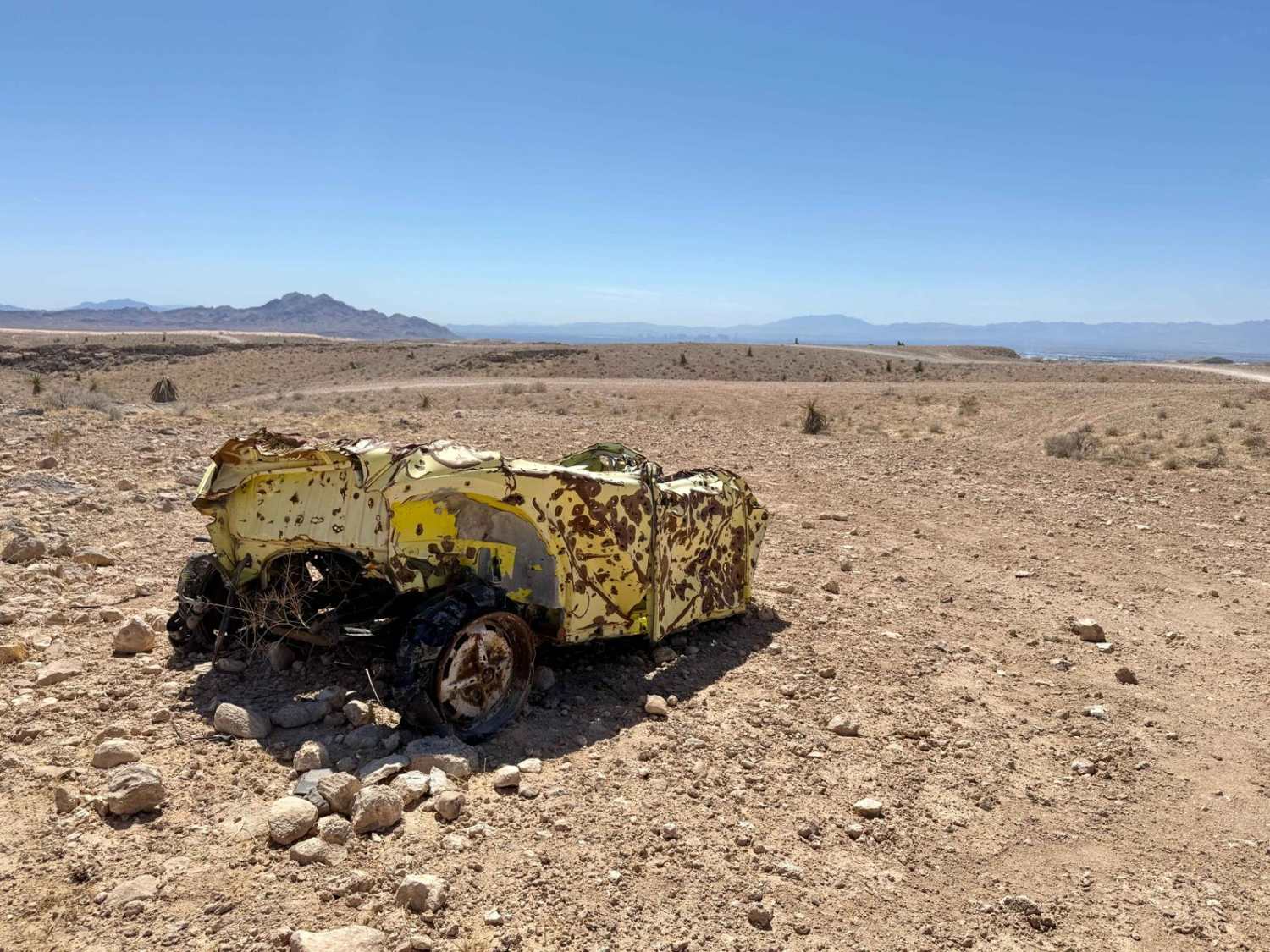
Trail Overview
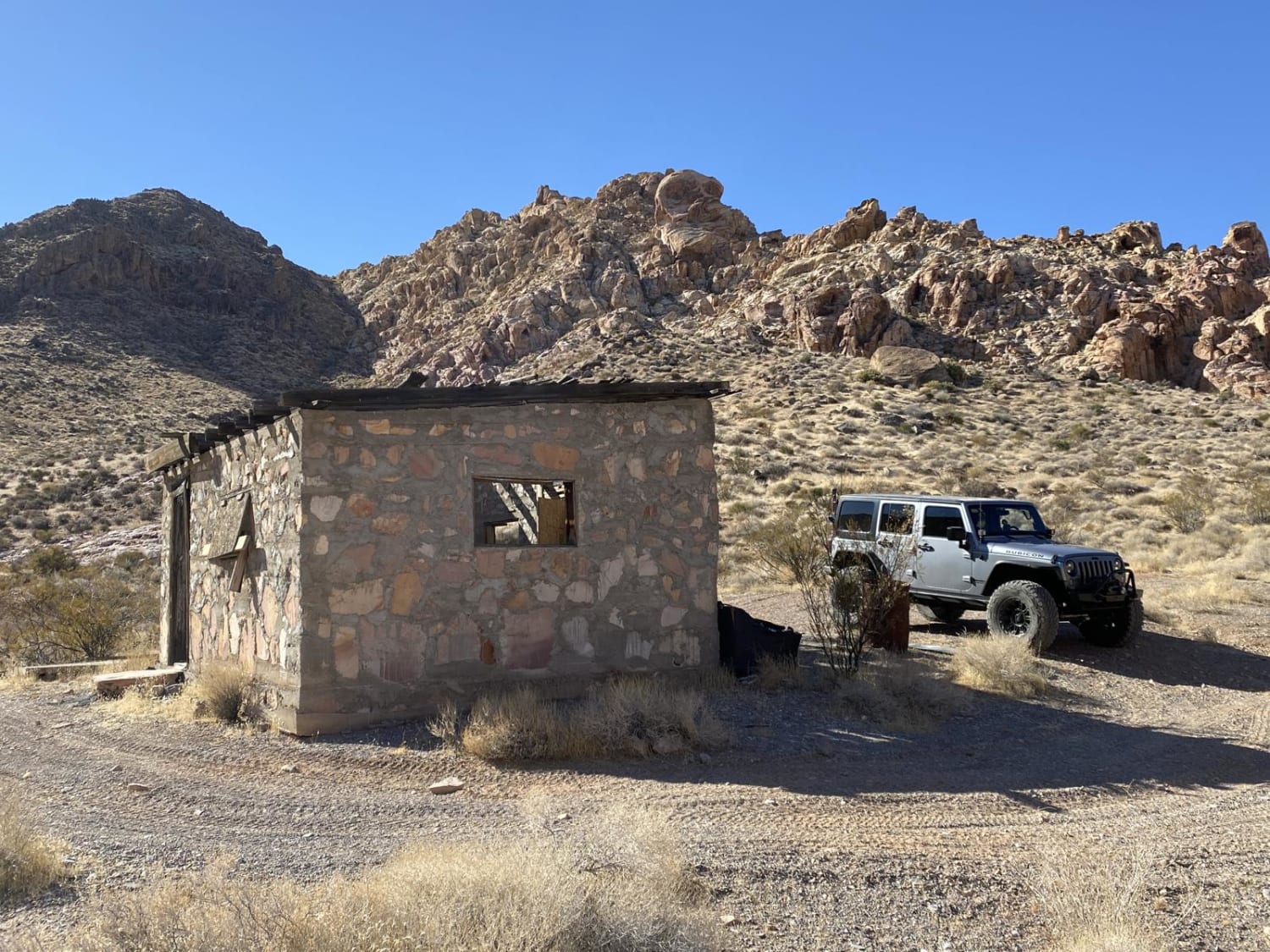
This trail is a pleasant route that climbs gently into the Toiyabe foothills and leads directly to the historic Lowboy Mine site. This route is an excellent choice for those looking for an easy way to experience the rugged beauty of the mountains while exploring one of the area's notable abandoned mining complexes. As you ascend, the track provides wonderful views of the Reese River Valley floor and the looming peaks of the Toiyabe Range to the south. Upon arriving at the mine site, you are greeted by an expansive area featuring numerous tailings piles that tell the story of a massive industrial effort. While the actual mine shafts remain visible from a distance, they serve as haunting reminders of the district's active past. The driving is generally straightforward with a mild grade, though it is punctuated by a few semi-technical washouts. These obstacles require basic navigation but should not pose a problem for most high-clearance vehicles. For those wanting a deeper look into the complex, keep an eye out for the optional Lowboy Spur A, which branches off to explore more of the sprawling abandoned workings. The area around the mine is large. If you choose to explore the tailings piles on foot, be mindful of uneven ground and rusted debris. The Lowboy Mine features deep shafts and unstable earth. Do not approach or enter any mine openings. Expect very limited to no cell service once you enter the folds of the foothills. Download offline maps before leaving town.
Photos of Lowboy Mine - FS 43251
Difficulty
Suitable for most high-clearance SUVs and 4x4 vehicles. Mostly smooth with an easy grade. Rated a 2 primarily for a few mild washouts that require careful tire placement.
History
The Lowboy Mine represents a later chapter in the Reese River Mining District's history, with most significant activity occurring in the mid-20th century. While the 1860s silver boom in Austin focused on high-grade veins, mines like the Lowboy were often part of a broader search for various minerals, including uranium, during the 1950s "yellowcake" rush that swept through Nevada. The vast tailings piles you see today are the result of modern machinery reworking the land, leaving behind a stark and fascinating industrial landscape.
Status Reports
Lowboy Mine - FS 43251 can be accessed by the following ride types:
- High-Clearance 4x4
- SUV
- SxS (60")
- ATV (50")
- Dirt Bike
Lowboy Mine - FS 43251 Map
Popular Trails

Fenway Road - 36
Color Rock Quarry
Northwest Nellis Smashed Beetle Point
The onX Offroad Difference
onX Offroad combines trail photos, descriptions, difficulty ratings, width restrictions, seasonality, and more in a user-friendly interface. Available on all devices, with offline access and full compatibility with CarPlay and Android Auto. Discover what you’re missing today!