Dry Creek - FS 6100-350
Total Miles
3.1
Technical Rating
Best Time
Spring, Summer, Fall
Trail Type
Full-Width Road
Accessible By
Trail Overview
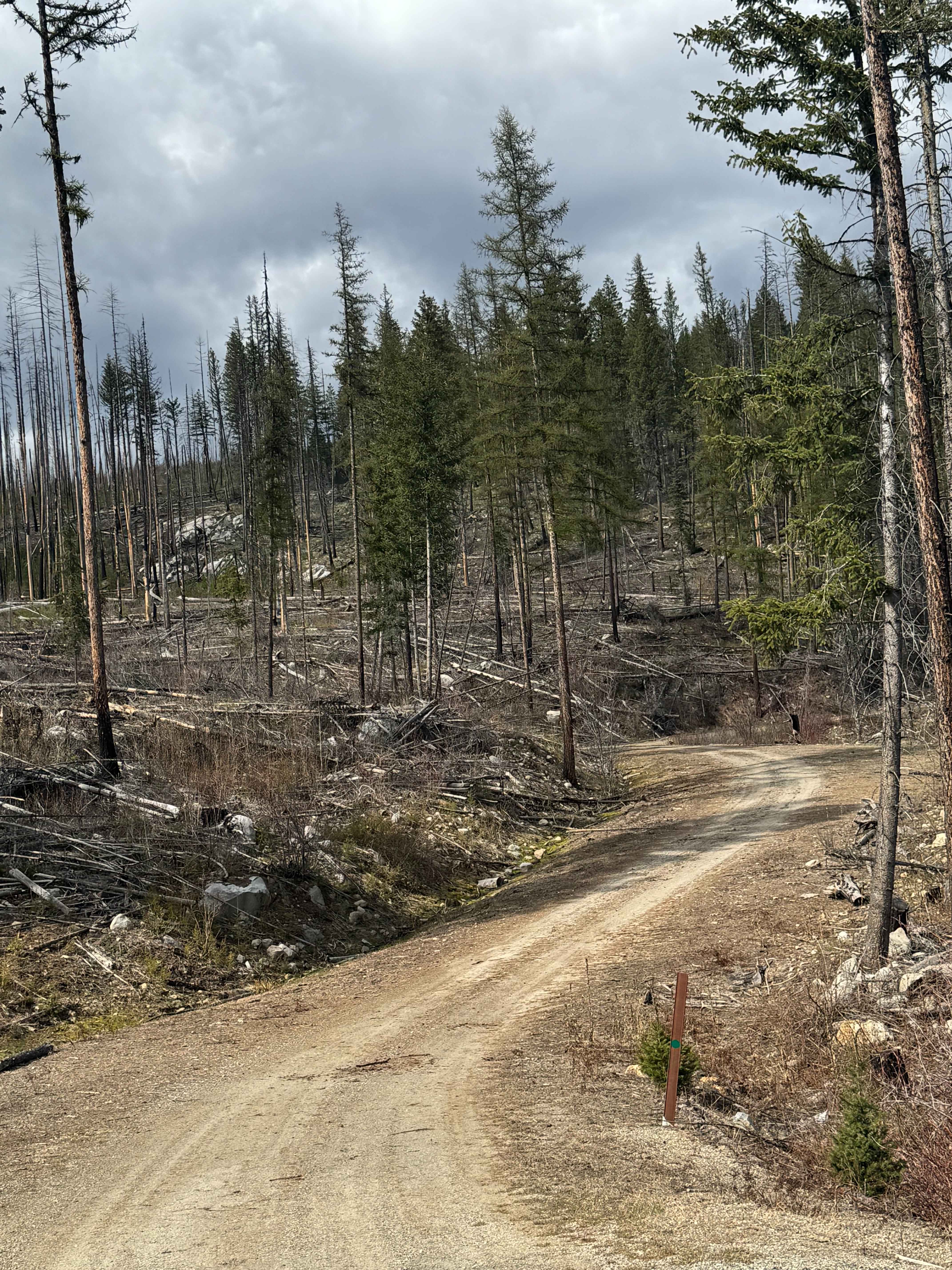
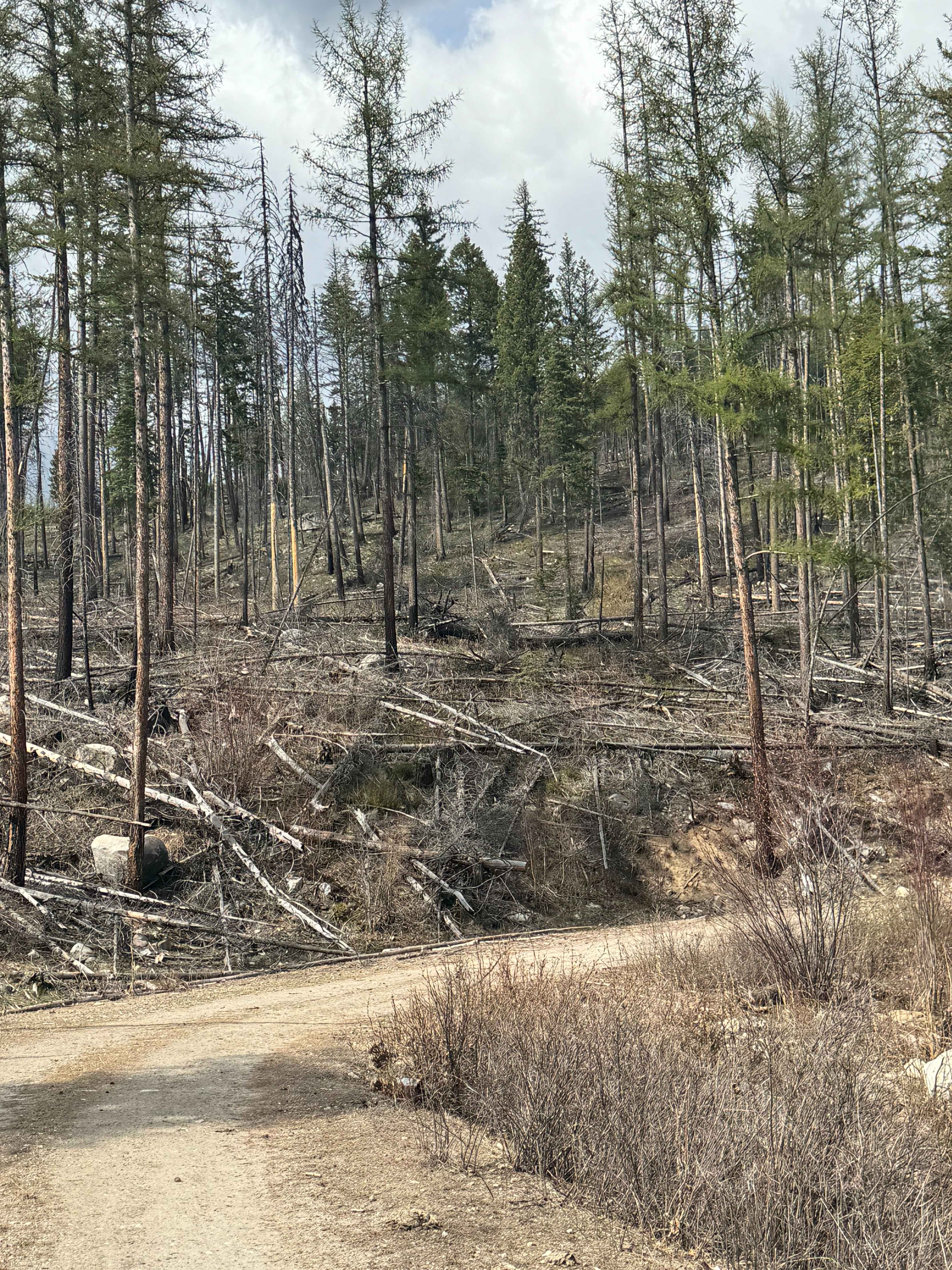
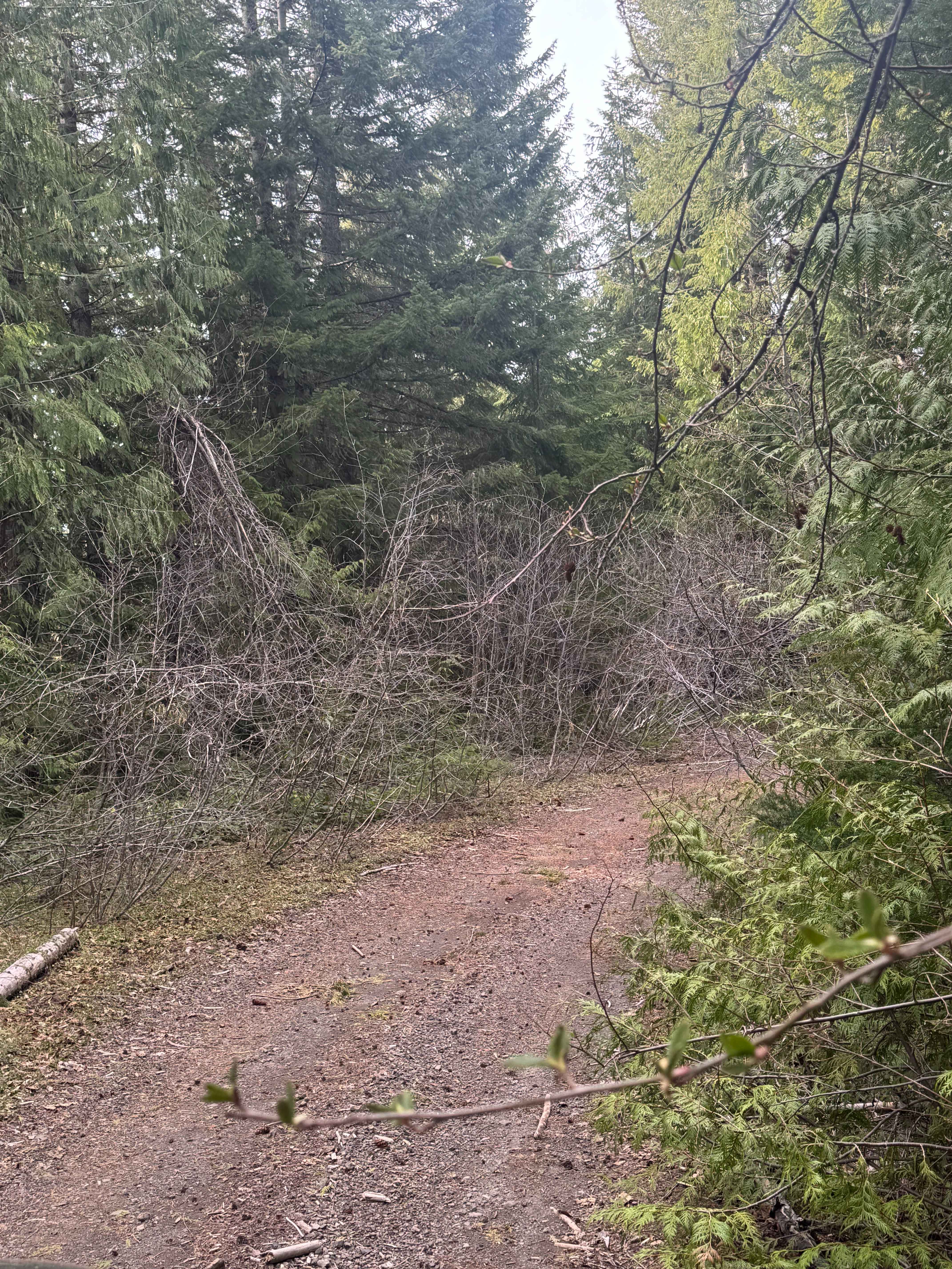
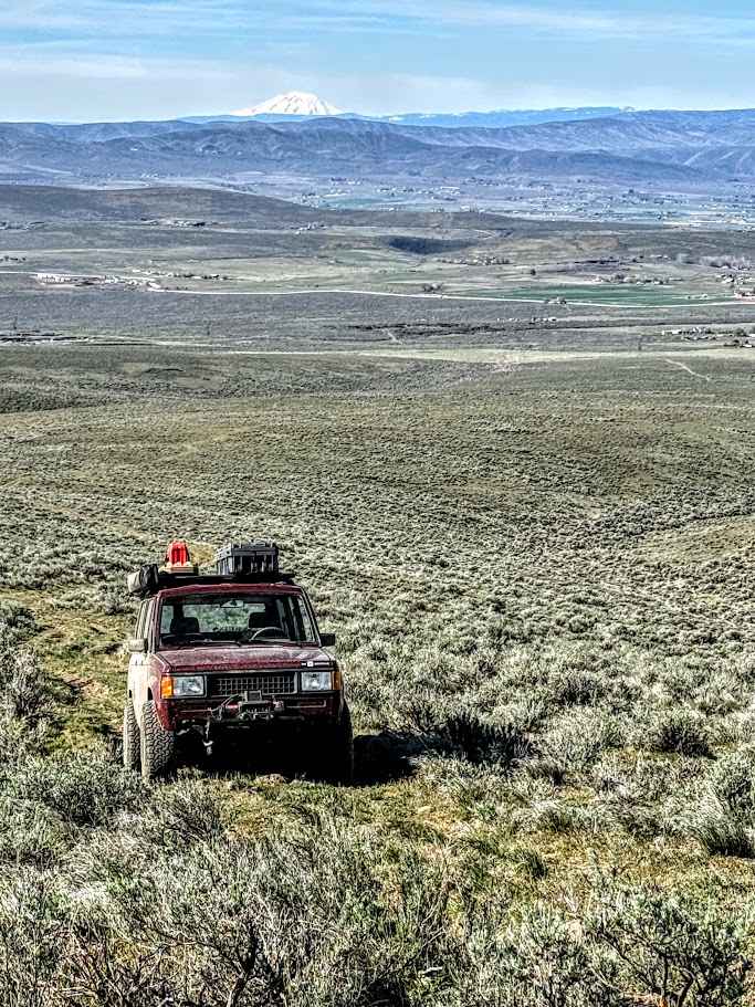
This is a gravel-based forest road that gradually climbs up a ridge in front of Dry Mountain. Not sure where the name came from because there was no creek to be found. This is a narrow road with a few switchbacks that has some overgrown vegetation and travels through an old burn, so there are trees downed everywhere. Expect to have to clear the roadway some, and be on alert for Rattlesnakes. The road ends in some live trees where there is room for dispersed camping, and camping is allowed along this entire route. This road has a certain beauty to it, passing through all the dead and burnt trees, then into the green, lively area. You will have a view of Dry Mountain, which stands 5,305 feet, and some views of the surrounding area. There is no cell phone service or amenities along the trail, so travel prepared, but any vehicle type should be able to complete this trail.
Photos of Dry Creek - FS 6100-350
Difficulty
Gravel-based forest road that transitions to dirt. Any vehicle could traverse this trail.
Status Reports
Dry Creek - FS 6100-350 can be accessed by the following ride types:
- High-Clearance 4x4
- SUV
- SxS (60")
- ATV (50")
- Dirt Bike
Dry Creek - FS 6100-350 Map
Popular Trails
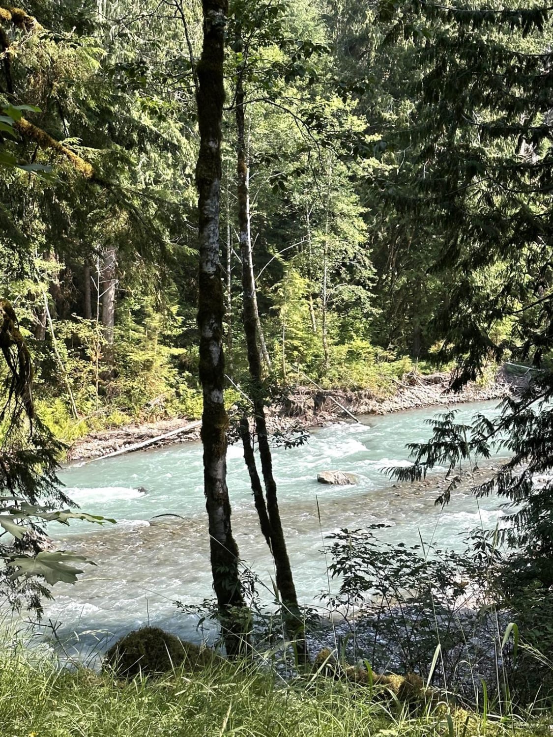
Nooksack River Trail
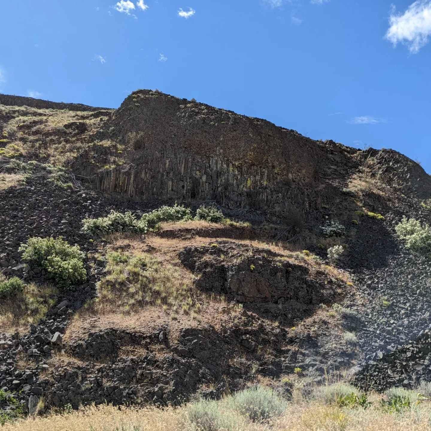
Quilomene Ridge Road
North Fork Tilton Road - FS 7300
Green Gate Access - South Road
The onX Offroad Difference
onX Offroad combines trail photos, descriptions, difficulty ratings, width restrictions, seasonality, and more in a user-friendly interface. Available on all devices, with offline access and full compatibility with CarPlay and Android Auto. Discover what you’re missing today!