North Fork Tilton Road - FS 7300
Total Miles
1.1
Technical Rating
Best Time
Spring, Summer, Fall
Trail Type
Full-Width Road
Accessible By
Trail Overview
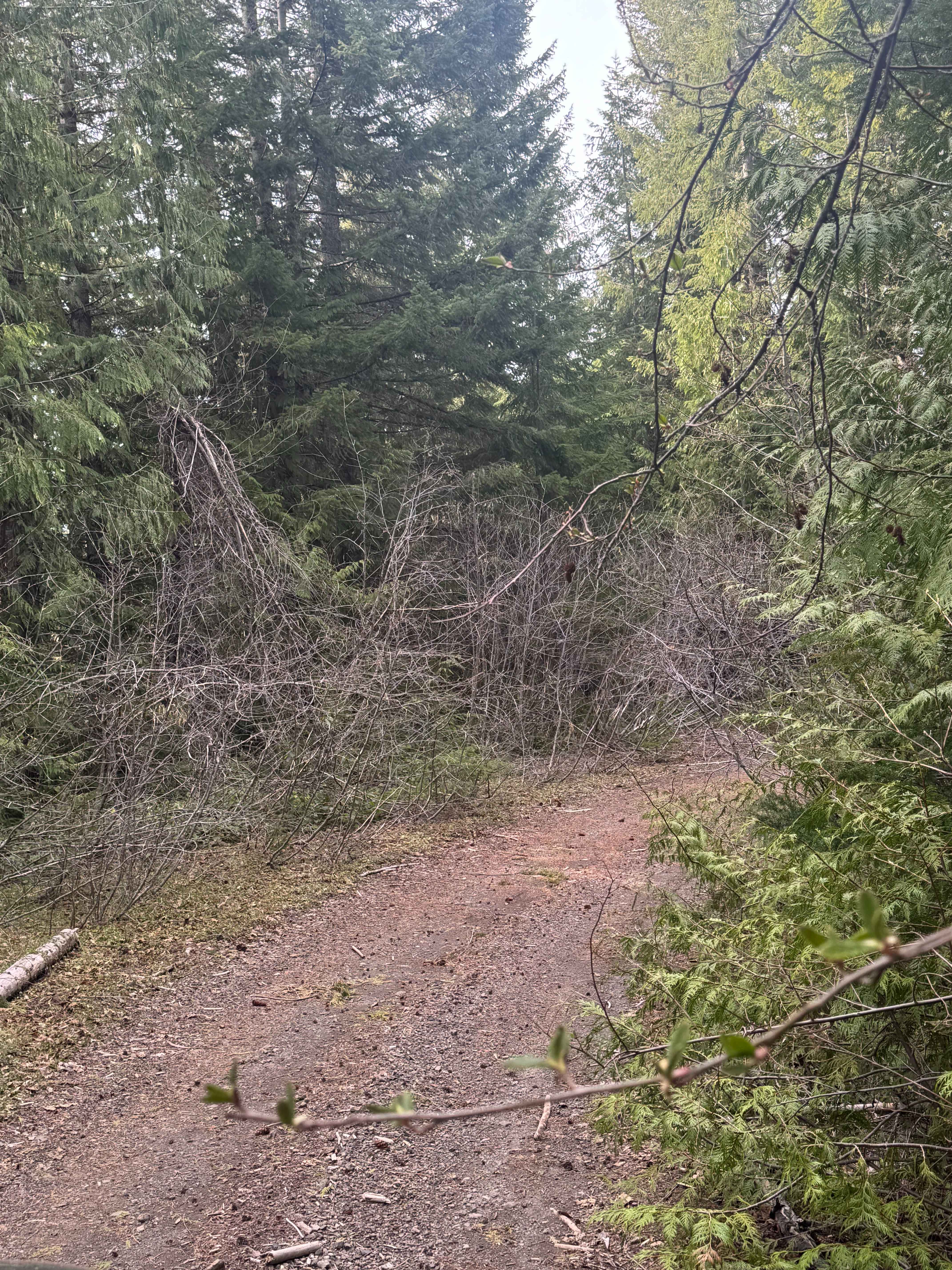
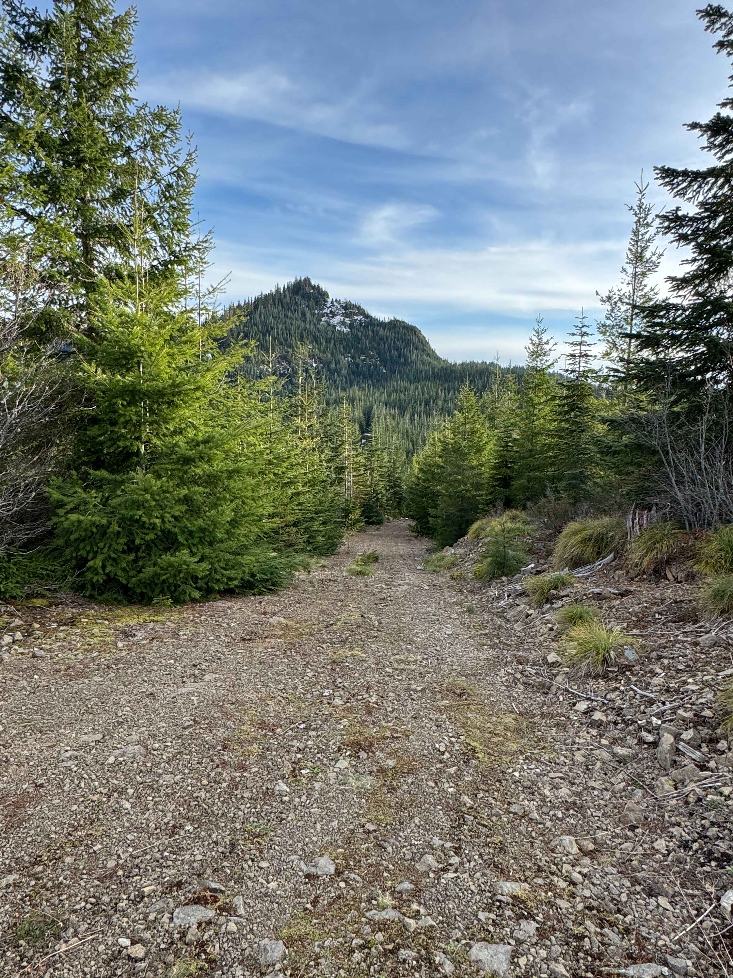
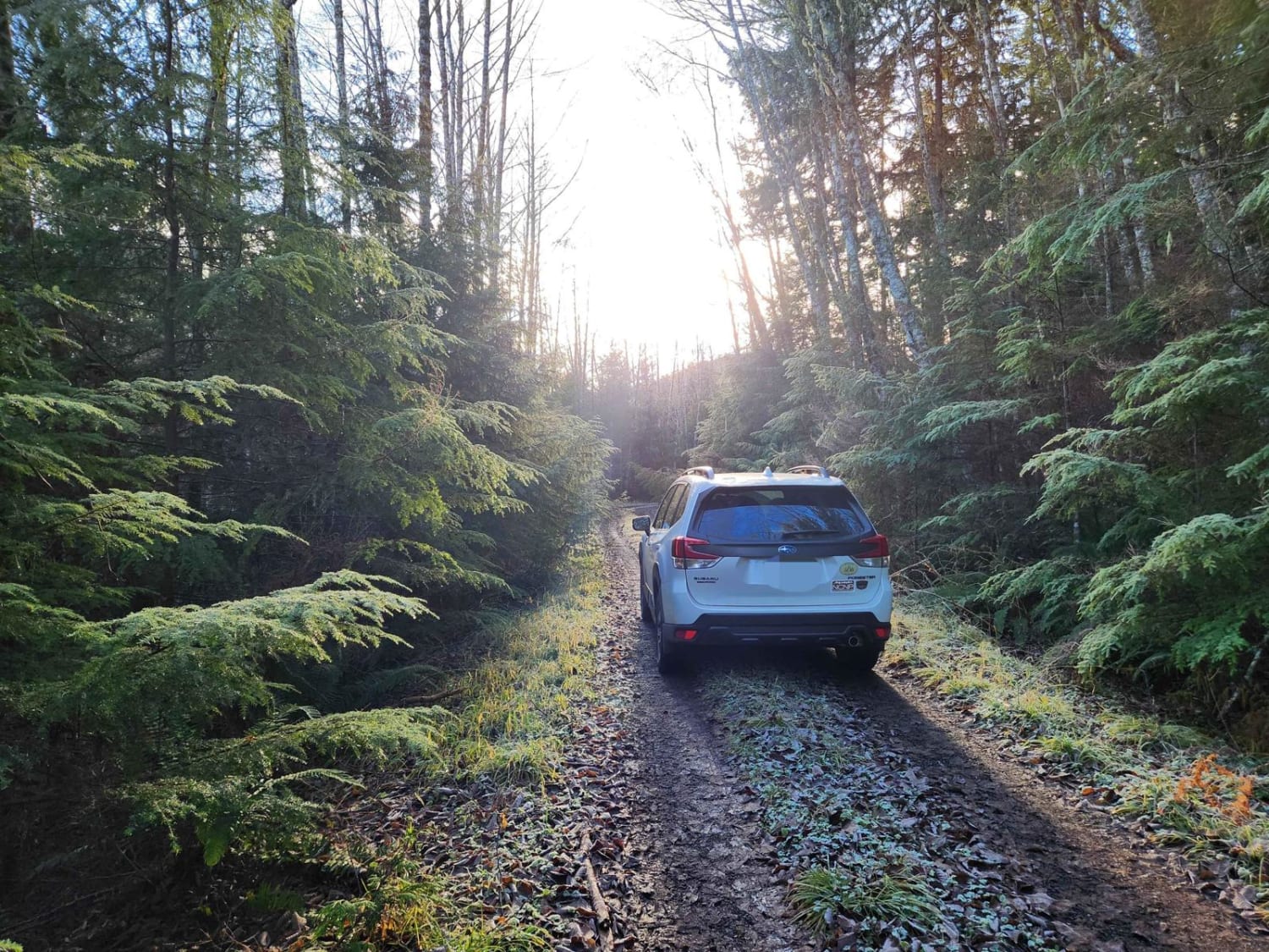
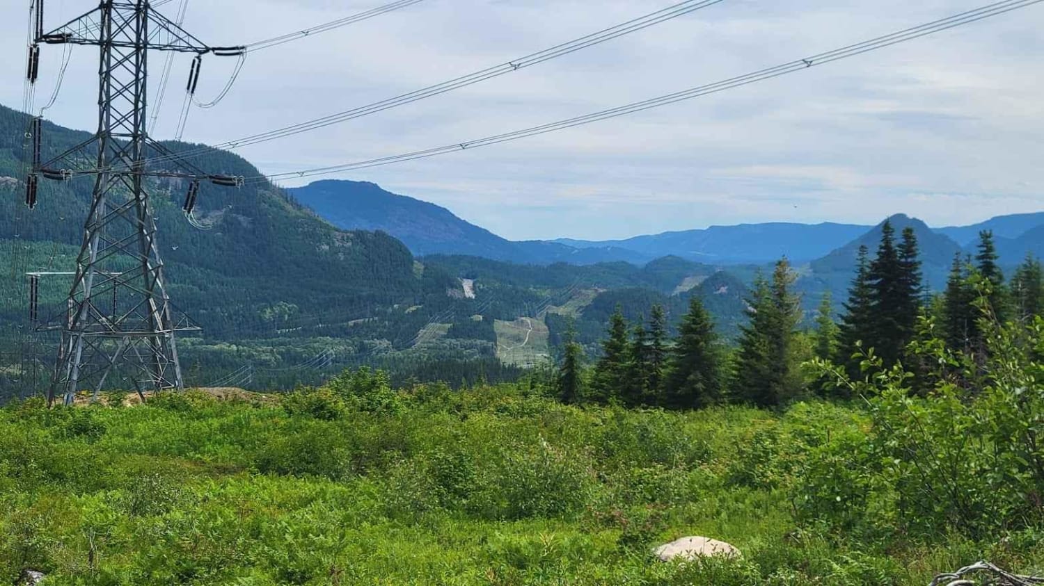
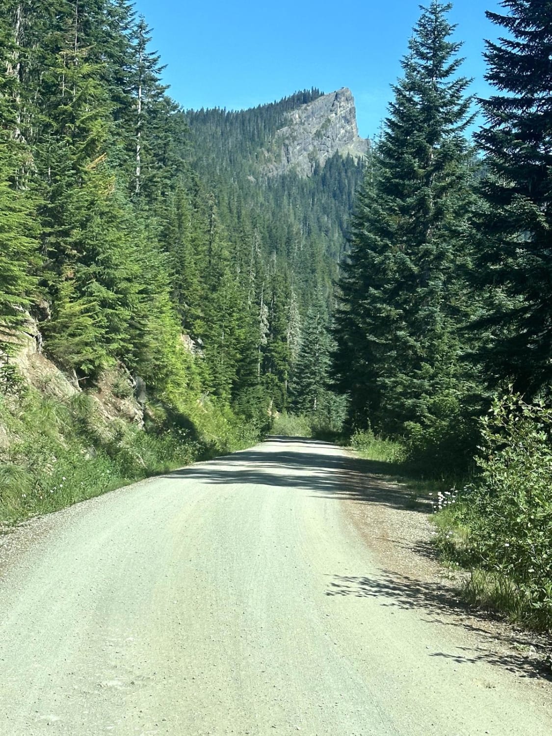
This short 1.1-mile trail leads through the National Forest to the edge of Timber Company land. The trail is narrow in the beginning, but then it widens and is relatively smooth. The trail ends with a steep uphill climb of 13-degree pitch to a large flat opening atop a ridge that has a stunning view of Mount Rainier. There is a pre-existing fire ring at this location, and there are panoramic views. No services or amenities along this trail, and you are approximately an hour and fifteen minutes ride from the town of Morton. Cell phone service was decent along this trail, and a large black bear was running up the middle of the trail. Any vehicle could travel this trail; you must maneuver around some downed trees on the narrow trail.
Photos of North Fork Tilton Road - FS 7300
Difficulty
Easy dirt trail that leads up to a campsite/overlook of Mount Rainier.
Status Reports
North Fork Tilton Road - FS 7300 can be accessed by the following ride types:
- High-Clearance 4x4
- SUV
- SxS (60")
- ATV (50")
- Dirt Bike
North Fork Tilton Road - FS 7300 Map
Popular Trails

Coyote- FS 5210023
NF 2581 - Puddlejumper
Cabin Creek Road (NF-41)
Towhead Gap Trail
The onX Offroad Difference
onX Offroad combines trail photos, descriptions, difficulty ratings, width restrictions, seasonality, and more in a user-friendly interface. Available on all devices, with offline access and full compatibility with CarPlay and Android Auto. Discover what you’re missing today!