Bailey Ridge #3118
Total Miles
1.4
Technical Rating
Best Time
Summer, Fall
Trail Type
50" Trail
Accessible By
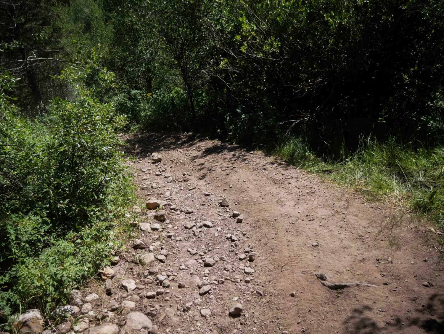
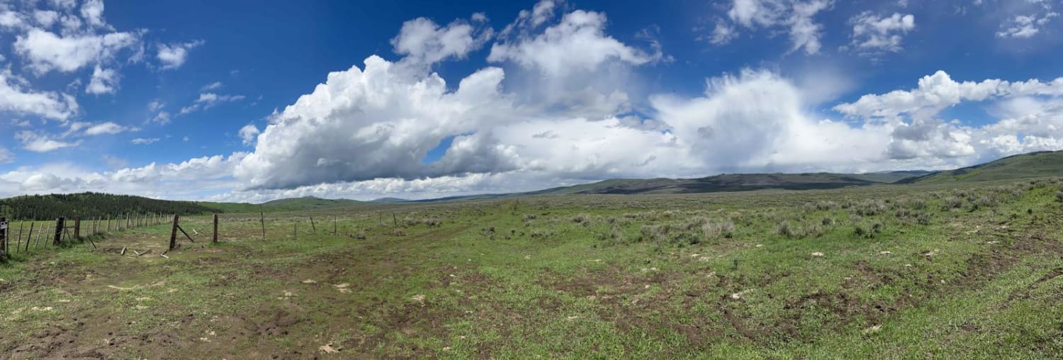
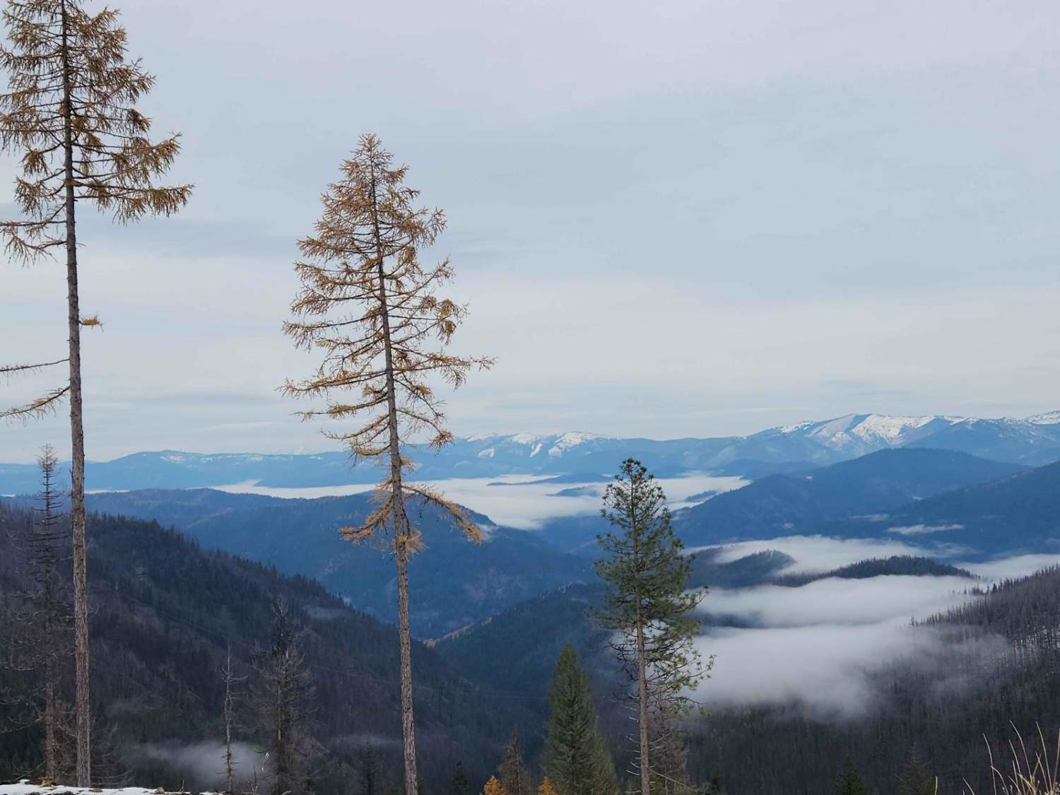
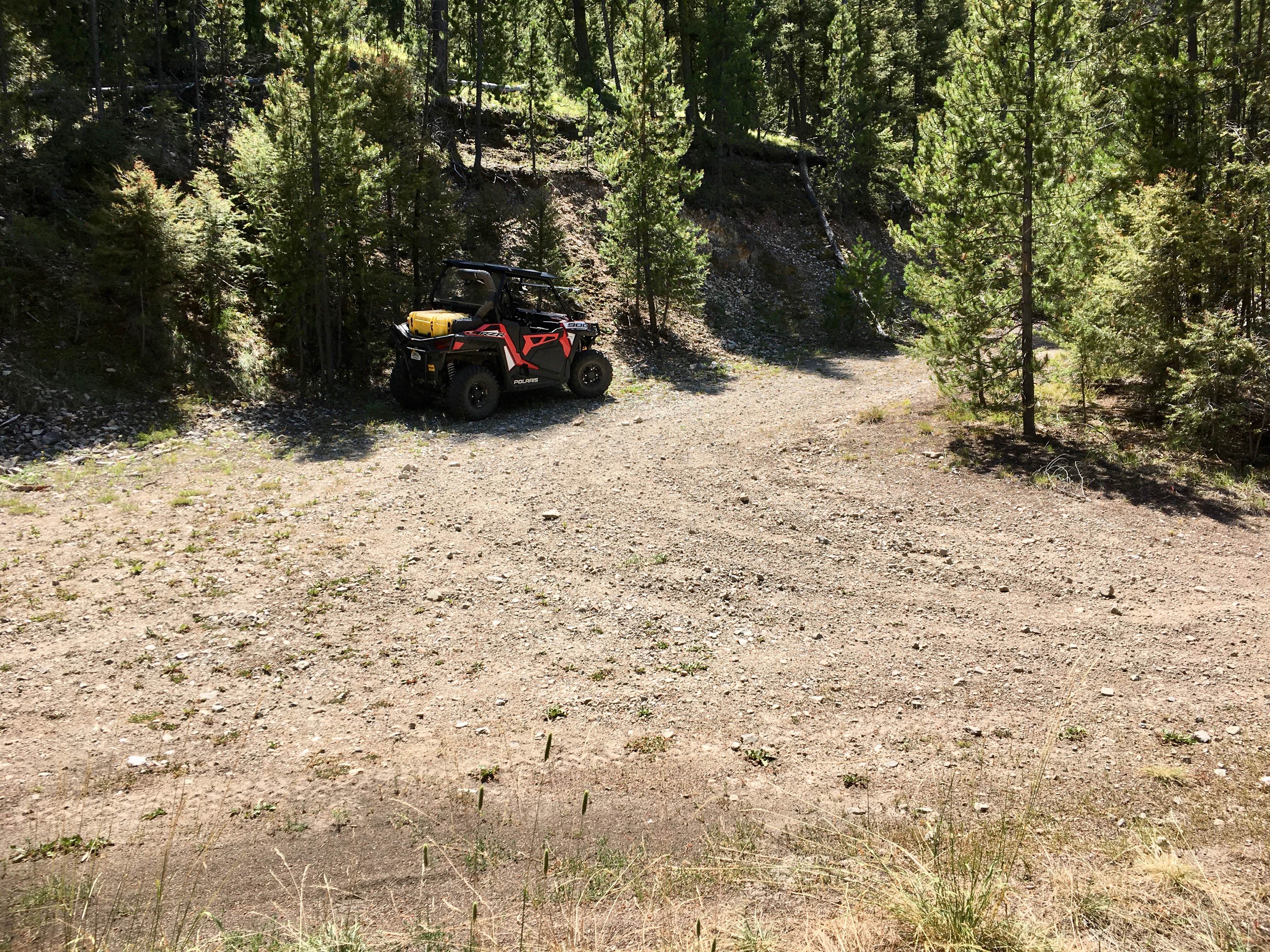
Trail Overview
Bailey Ridge #3118 is a 1.4-mile-long ATV spur that branches off Trail #3331 and travels across sagebrush-covered hillsides and wide open meadows. The trail follows a gradual grade with a dry, dusty surface that includes grassy sections and shallow ruts. While there are no large obstacles or ledges, frequent embedded rock throughout the route creates a bumpier, slower-paced ride. A few semi-steep segments are present, but the overall terrain remains relatively mild. There is an unmarked intersection along the trail where the trail turns west into faint and overgrown terrain, even though an unmarked road continues north into BLM land that looks like more of a major route. The intersection with Trail #3119 is also unmarked, with an unmarked road continuing north.
Photos of Bailey Ridge #3118

Difficulty
This is an easy trail due to the gradual grades, open visibility, and lack of technical features. Embedded rock and unmarked intersections are the primary challenges but do not significantly increase the difficulty.
Status Reports
Bailey Ridge #3118 can be accessed by the following ride types:
- ATV (50")
- Dirt Bike
Bailey Ridge #3118 Map
Popular Trails
Gray's Lake Outlet
Character Ridge

Diamond-Bear #5125
Queen - Agency ATV Route
The onX Offroad Difference
onX Offroad combines trail photos, descriptions, difficulty ratings, width restrictions, seasonality, and more in a user-friendly interface. Available on all devices, with offline access and full compatibility with CarPlay and Android Auto. Discover what you’re missing today!