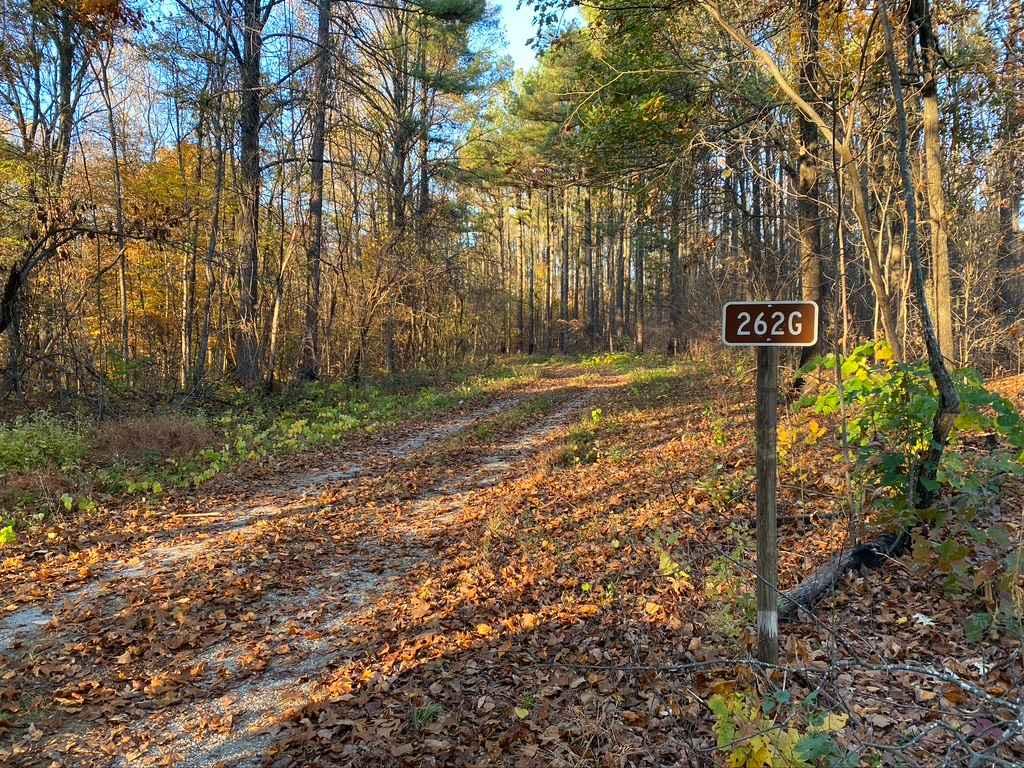
Slick Ridge SFR 262G
Total Miles
1.3
Technical Rating
Best Time
Spring, Fall, Summer
Trail Type
Full-Width Road
Accessible By
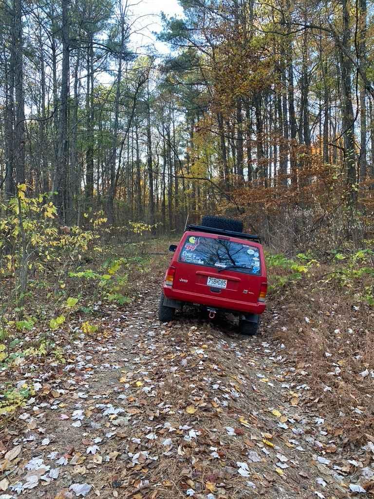
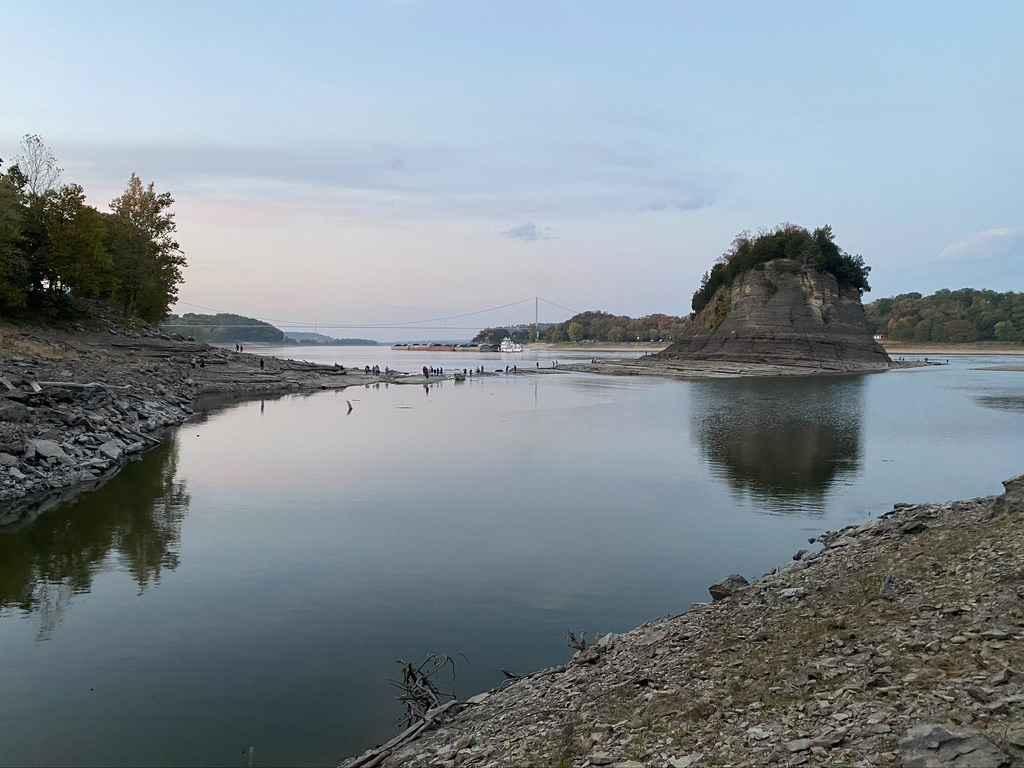
Trail Overview
The Slick Ridge FSR 262G is a mildly challenging natural fire road that has the reward of a great view of Shawnee National Forest. It features an off-camber eroded section that will test your articulation and clearances. It runs you through several small mud holes and a small grade with tree roots. The trail brings tight trees into the mix, making your moves well-planned to thread the needle. This leads you to a scenic overlook of the hills on the edge of the Mississippi River. This is a great place to turn around, though there is an optional finale hill to go down. It's a fun quick trail that tests you enough to make it worth trying to get to the view. Wet conditions and rainy seasons will increase the difficulty.
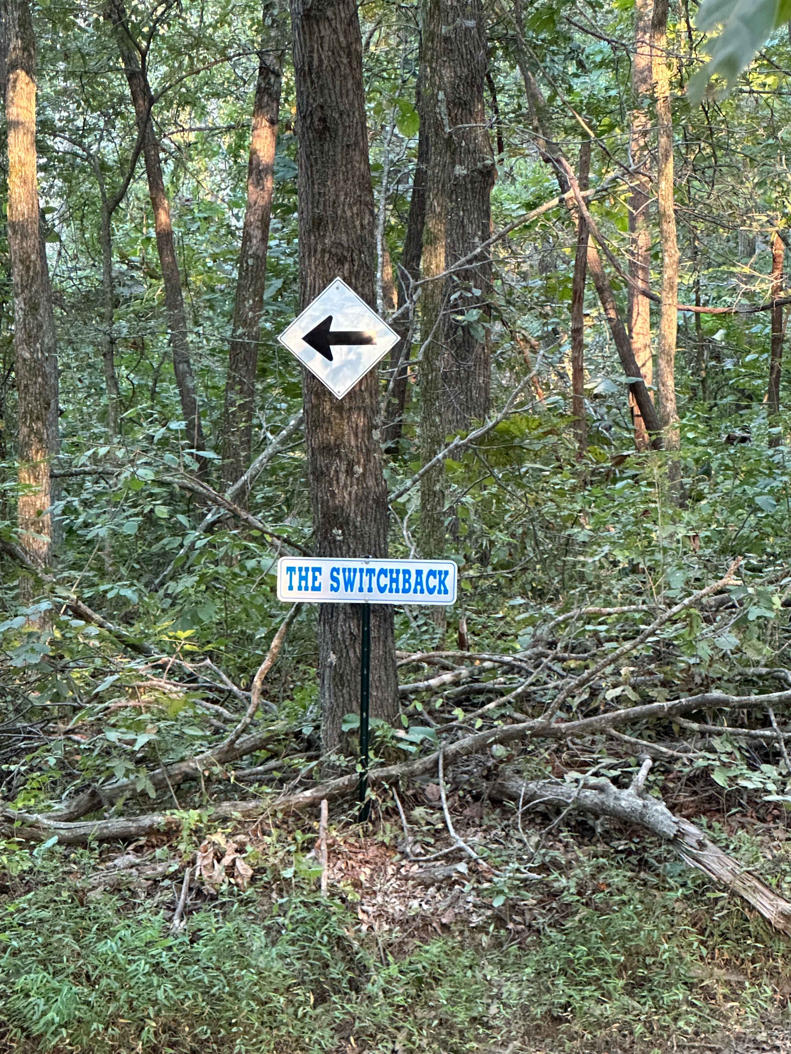
Photos of Slick Ridge SFR 262G
Difficulty
The 262G has a thrill and sense of achievement to it, and its reward is an amazing view. You have a pretty good off-camber section as your first obstacle that tests a new driver's senses, followed by a slightly rutted hill and a few small mud holes. This leads to the hill with the view, which involves climbing a few eroded tree root ledges. The trail quickly narrows, forcing your vehicle through a tight tree section to the view, followed by steep grade as the finale of the trail. Turn around and hit it all again.
History
The Slick Ridge Road FSR 262G is actually a spur of the FSR 262, which is called Bean Ridge Road. It's a paved wilderness route that services a few private properties, but mainly allows for traveling the middle of a big section of the southwest corner of Shawnee National Forest. It's a great drive to experience, especially when traveling from trail to trail in Shawnee National Forest.
Status Reports
Slick Ridge SFR 262G can be accessed by the following ride types:
- High-Clearance 4x4
- SUV
- SxS (60")
- ATV (50")
- Dirt Bike
Slick Ridge SFR 262G Map
Popular Trails
Tower Rock Road PCR 460
Grandpa's Getaway

Rattlesnake Ferry - FS 345
The onX Offroad Difference
onX Offroad combines trail photos, descriptions, difficulty ratings, width restrictions, seasonality, and more in a user-friendly interface. Available on all devices, with offline access and full compatibility with CarPlay and Android Auto. Discover what you’re missing today!