Top Tank Trail #5
Total Miles
3.1
Technical Rating
Best Time
Spring, Fall
Trail Type
50" Trail
Accessible By
Trail Overview
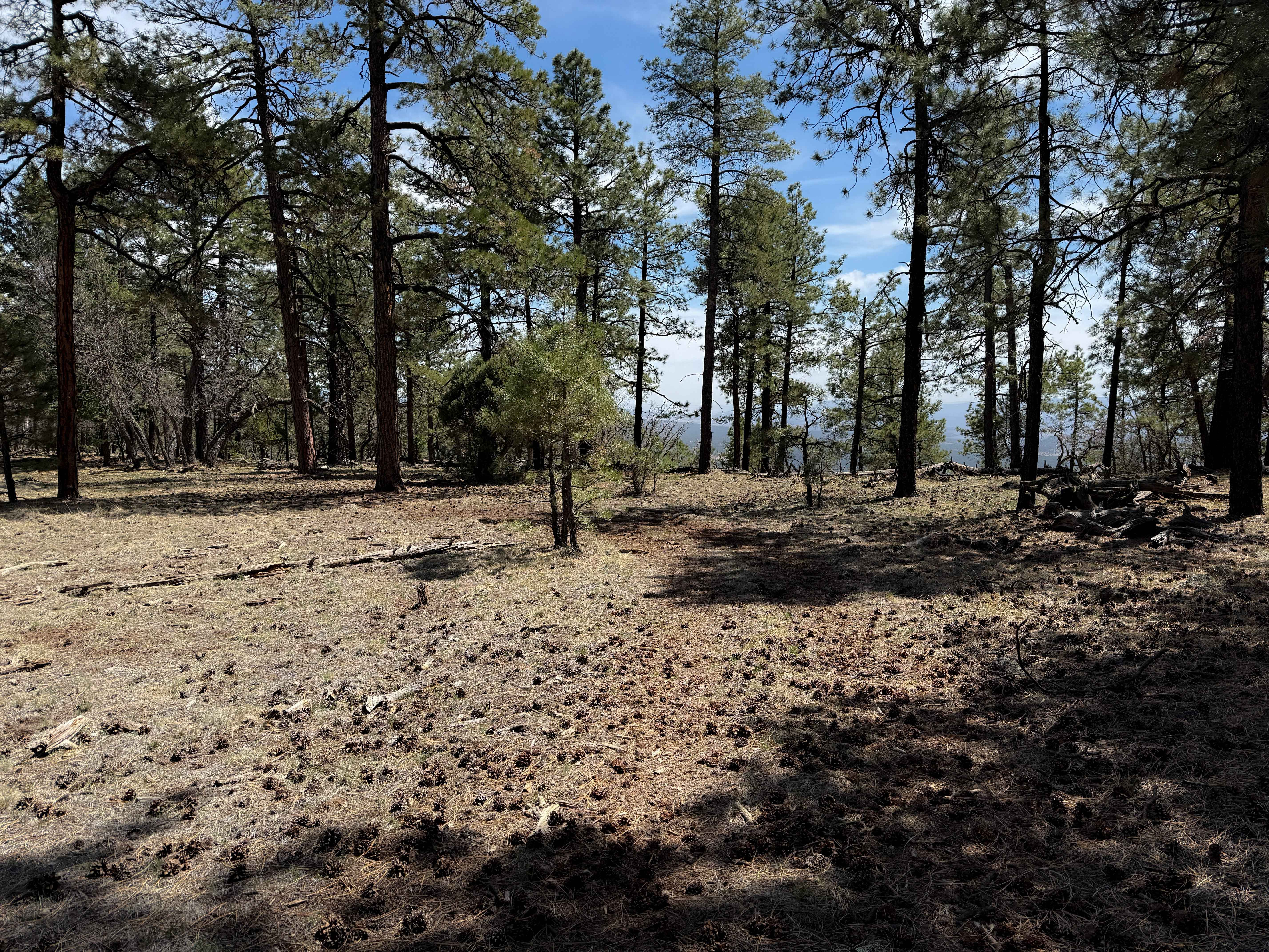
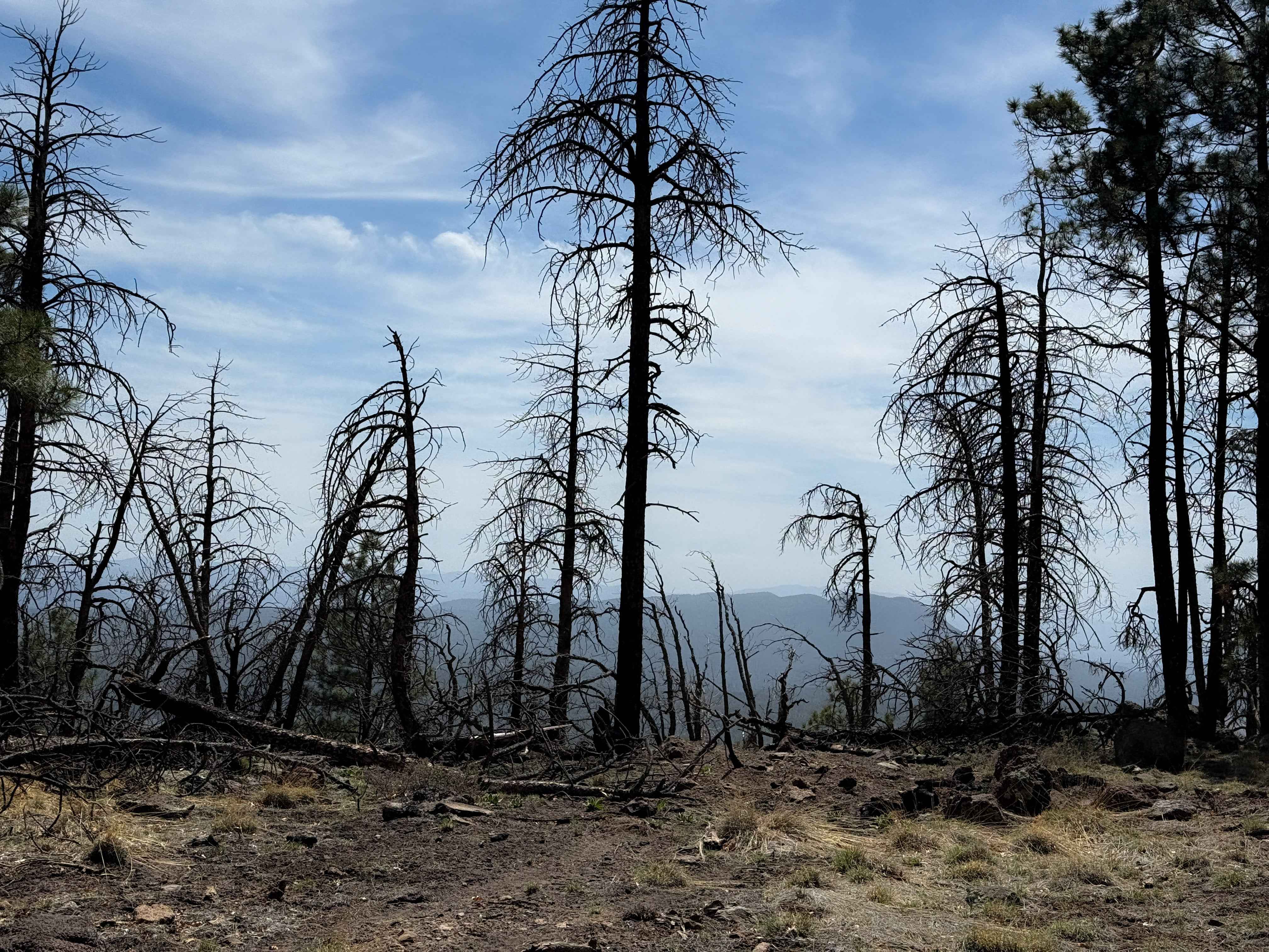
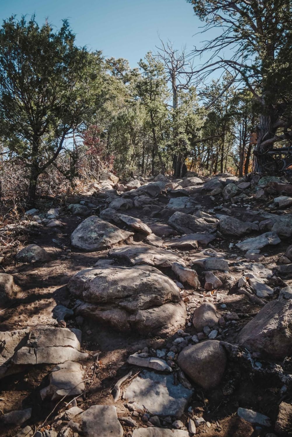
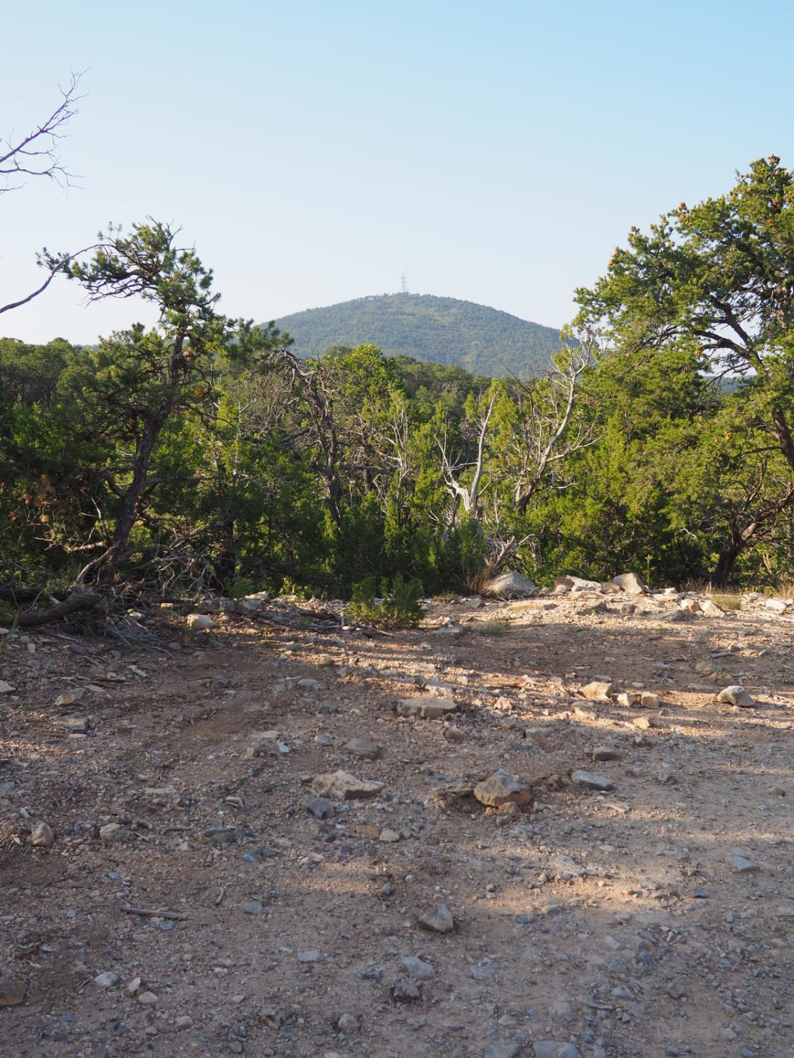
This is a 3-mile-long ATV trail through the Gila National Forest. The west entrance is marked as Trail #5, but does not specify the width designation, so it looks like this trail gets inadvertently used by wider vehicles. The beginning is wide and graded, smooth and maintained. It narrows up from the graded road as you go east, but is still wide like a Jeep trail. You go past a cattle gate and a water tank, meandering through the dry pine forest, on a smooth trail with only a bit of embedded rock. The trail is easy to follow, and is often covered in pine needles and pine cones, and stays relatively rock-free. It gains about 800 feet of elevation from west to east, ending at a flat spot that could be used as a campsite on the east end, with a scenic view.
Photos of Top Tank Trail #5
Difficulty
This is an easy ATV trail as it is smooth, gradual, and wide for the entire route. It is ideal for riders of all skill levels.
Status Reports
Top Tank Trail #5 can be accessed by the following ride types:
- ATV (50")
- Dirt Bike
Top Tank Trail #5 Map
Popular Trails
Bottletree Loop
Baca Traverse
Oak Flat Connector
Coyote Mesa Trail
The onX Offroad Difference
onX Offroad combines trail photos, descriptions, difficulty ratings, width restrictions, seasonality, and more in a user-friendly interface. Available on all devices, with offline access and full compatibility with CarPlay and Android Auto. Discover what you’re missing today!