Saddler's Path
Total Miles
4.0
Technical Rating
Best Time
Spring, Summer, Fall, Winter
Trail Type
Full-Width Road
Accessible By
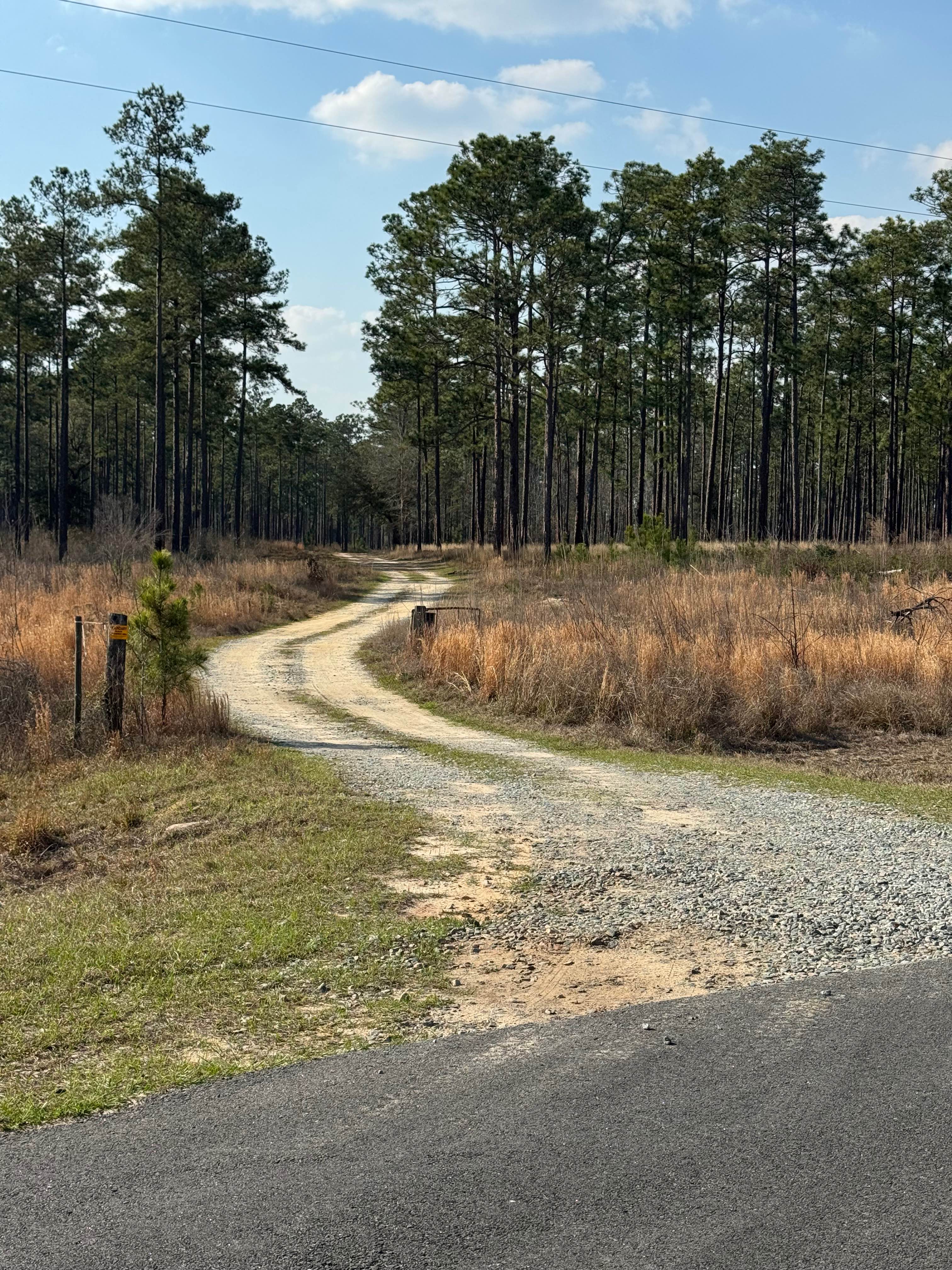
Trail Overview
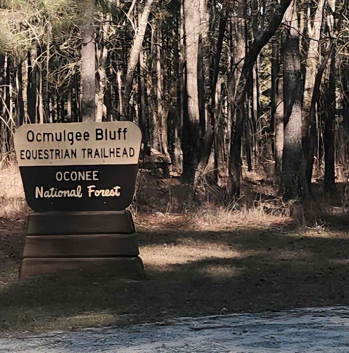
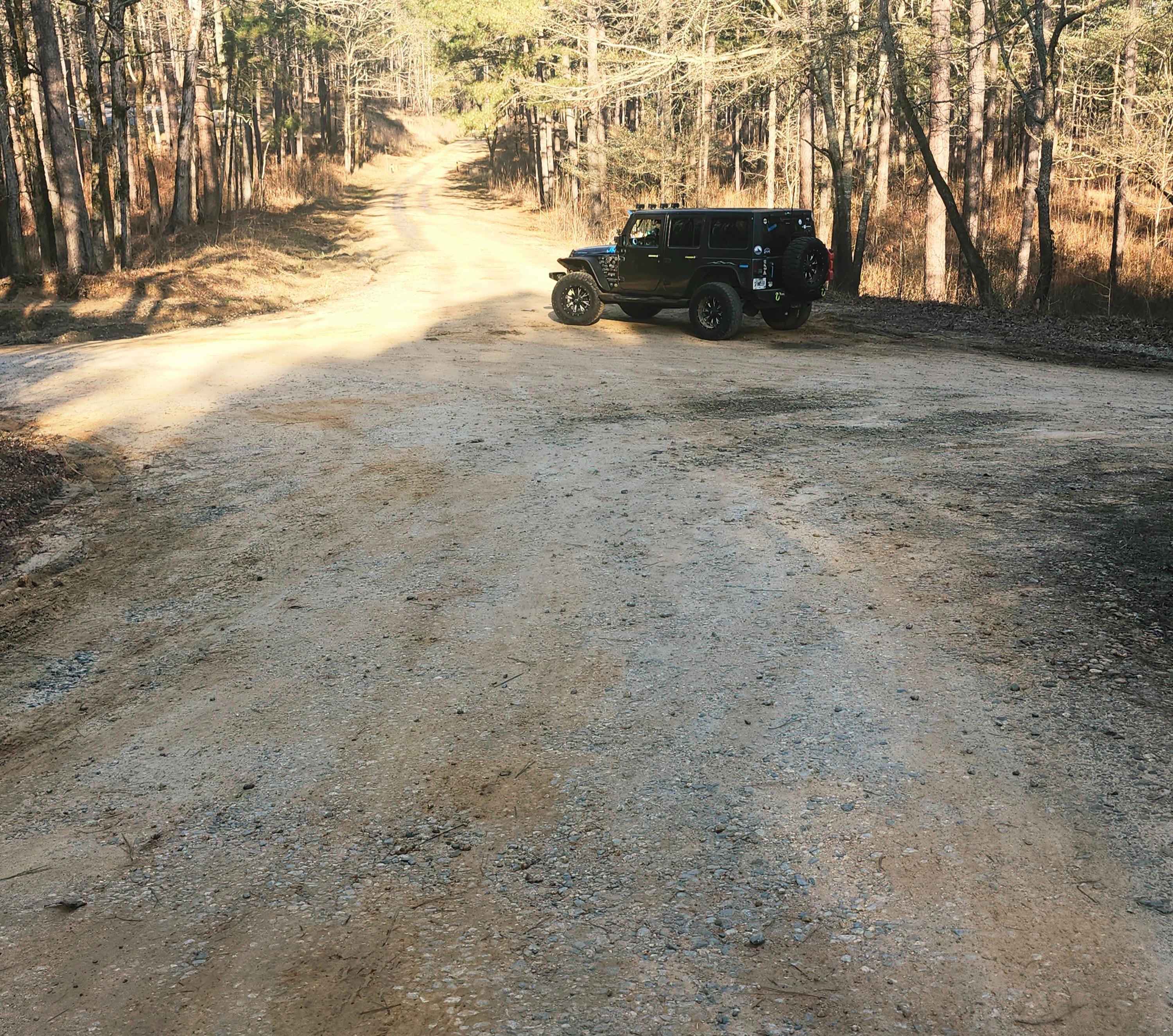
This beginner-friendly, two-way, through connector trail winds through a quiet equestrian corridor of gravel, sand, and packed dirt. Conditions are generally easy but can become slick and washed after rain, so steady driving is recommended. This trail runs through the Oconee National Forest and passes Saddle Horse Campground, an equestrian campground with horse corrals for those wanting to camp and bring their horses to enjoy easy access to the Ocmulgee Equestrian Bluff Trailhead, a popular hub for scenic river & forest views, which is right around the bend from the equestrian-friendly campgrounds. There is a natural stream that runs across the trail at the Northern end, which has caused a natural borrow along both sides of the trail. Use caution, as they can be deceiving after a good rain and are deep in some places.
Photos of Saddler's Path
Difficulty
This trail is very easy and begins in a residential area at the southern end with primarily gravel surfaces. Toward the middle and northern sections, the terrain transitions to sand and packed dirt that can become washed out, rutted, and slick after heavy rain. A natural stream crossing is present and has created borrow ditches along portions of the route.
Status Reports
Saddler's Path can be accessed by the following ride types:
- High-Clearance 4x4
- SUV
- SxS (60")
- ATV (50")
- Dirt Bike
Saddler's Path Map
Popular Trails
Mulberry Gap Road
Hunting Road

Toccoa River Road - FS 333
Frog Pond Road
The onX Offroad Difference
onX Offroad combines trail photos, descriptions, difficulty ratings, width restrictions, seasonality, and more in a user-friendly interface. Available on all devices, with offline access and full compatibility with CarPlay and Android Auto. Discover what you’re missing today!