Scroggins Ridge to Rock Creek
Total Miles
6.3
Technical Rating
Best Time
Spring, Summer, Fall, Winter
Trail Type
Full-Width Road
Accessible By
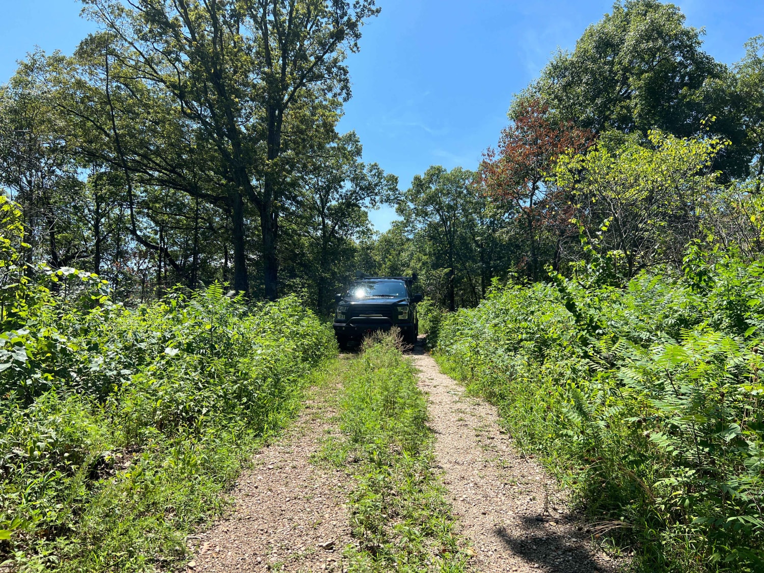
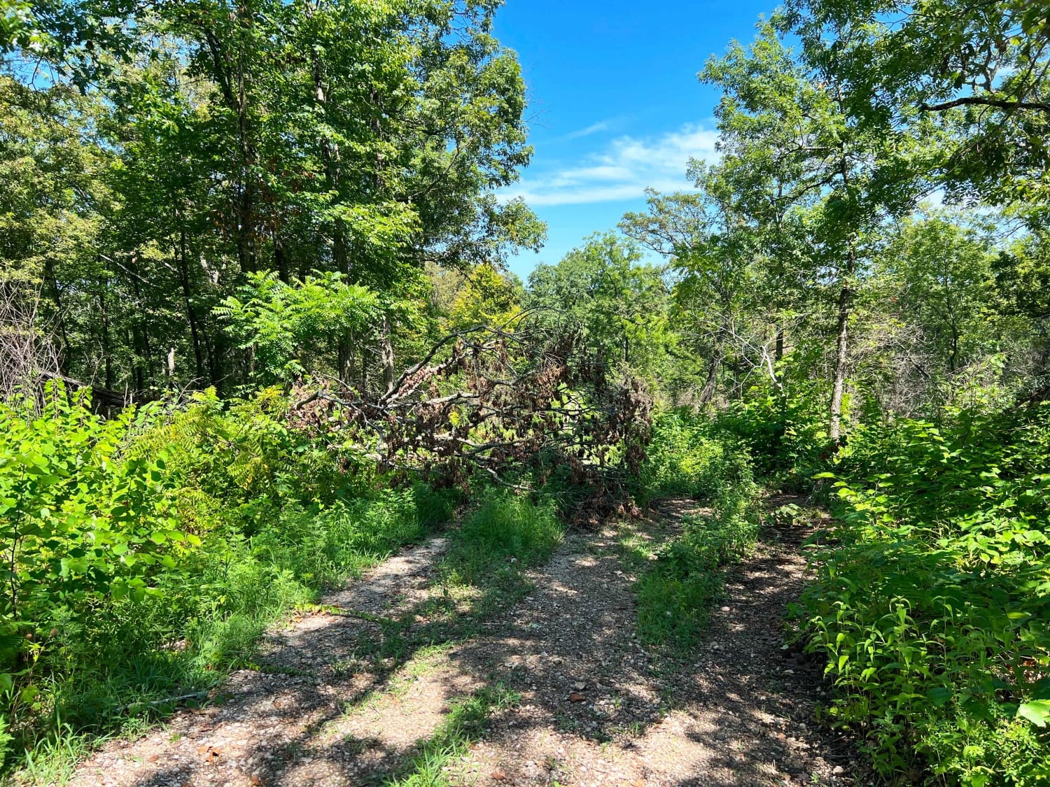
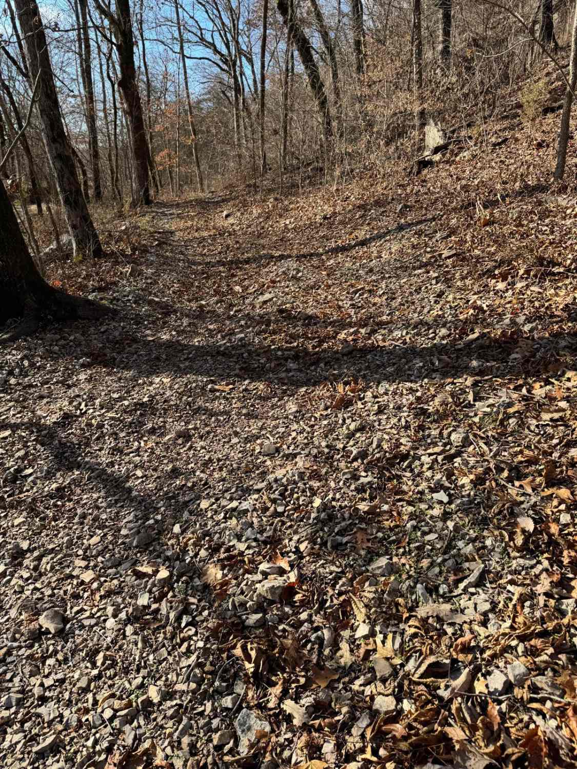
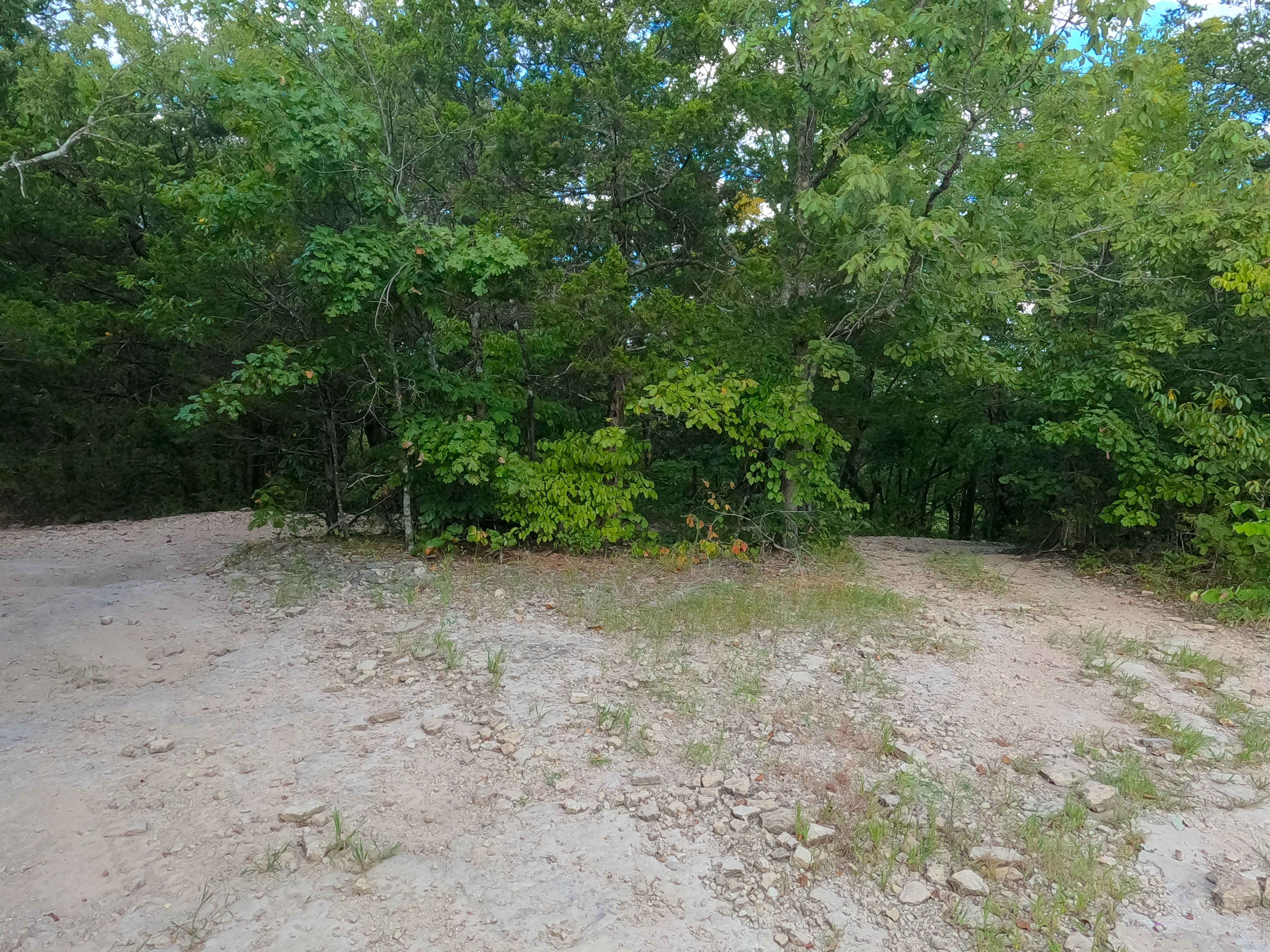
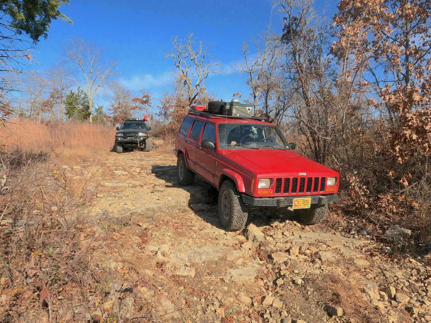
Trail Overview
Scroggins Ridge 1171 is a gravel forest road in Mark Twain National Forest that descends south from highway 76 down to Rock Creek. There are 6 creek crossings that can be challenging after heavy rains. Due to extreme drought conditions in 2022, caution needs to be taken for falling trees and branches along the trail. As you continue deeper into the forest, you will climb Section 10 road to Bean Ridge Road, which ends at an incredible campsite with an overlooking view. When driving this trail, a tree was down that was too large for us to continue on to the campsite. Several areas along Rock Creek have been washed out from heavy storms, and Bean Ridge is becoming overgrown.
Photos of Scroggins Ridge to Rock Creek
Difficulty
During dry conditions this trail can be easily driven in 2WD with high clearance. After heavy rains the 6 creek crossings can become challenging with rushing water and sections of the trail completely covered. The further back you go the more the trail has become overgrown.
Status Reports
Scroggins Ridge to Rock Creek can be accessed by the following ride types:
- High-Clearance 4x4
- SUV
Scroggins Ridge to Rock Creek Map
Popular Trails
Pet Hollow - FS 507A

Wild Horses - SCR 211
West Fork East - FS 509
The onX Offroad Difference
onX Offroad combines trail photos, descriptions, difficulty ratings, width restrictions, seasonality, and more in a user-friendly interface. Available on all devices, with offline access and full compatibility with CarPlay and Android Auto. Discover what you’re missing today!