Fisherman Road
Total Miles
4.5
Technical Rating
Best Time
Summer
Trail Type
Full-Width Road
Accessible By
Trail Overview
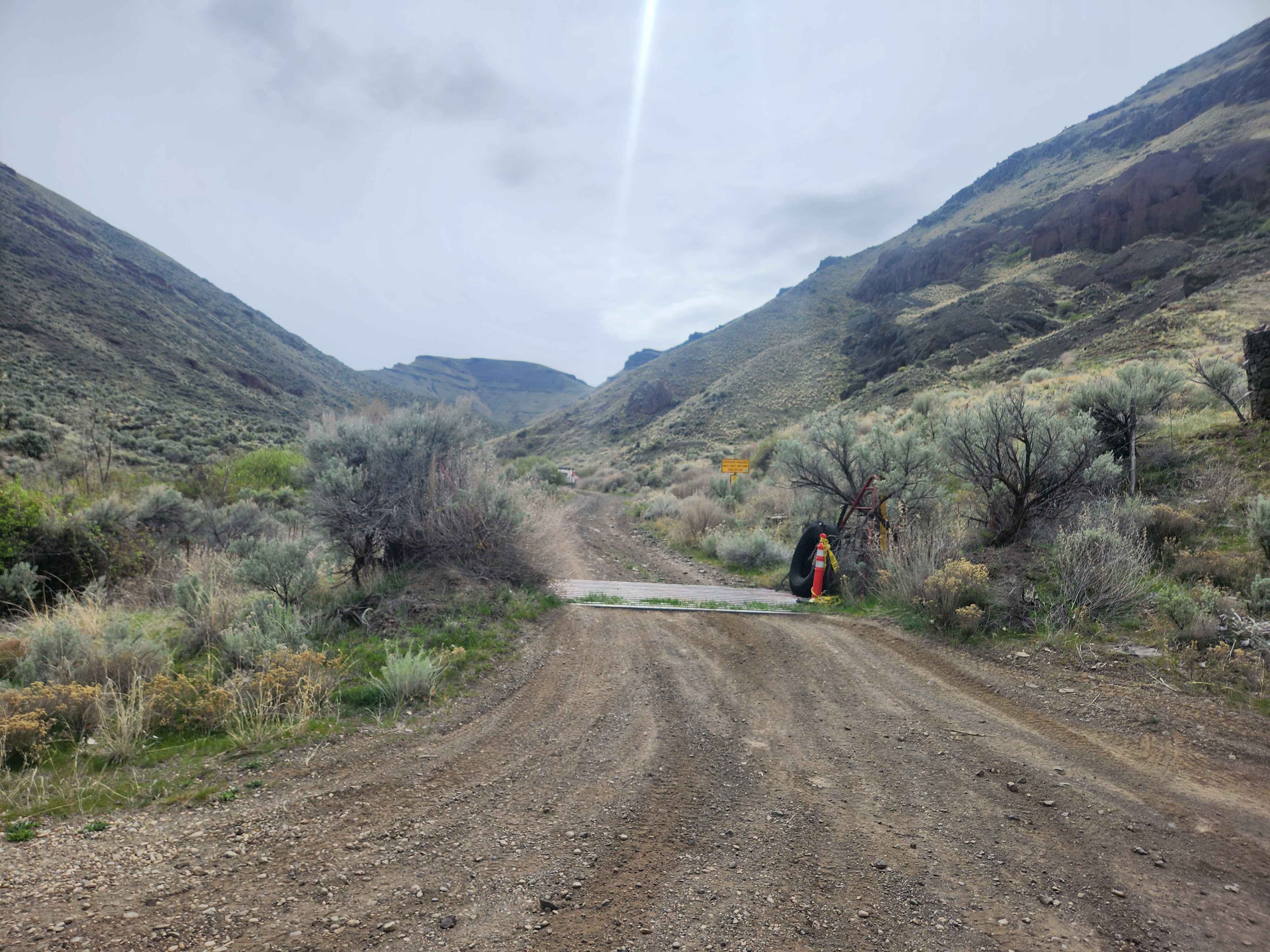
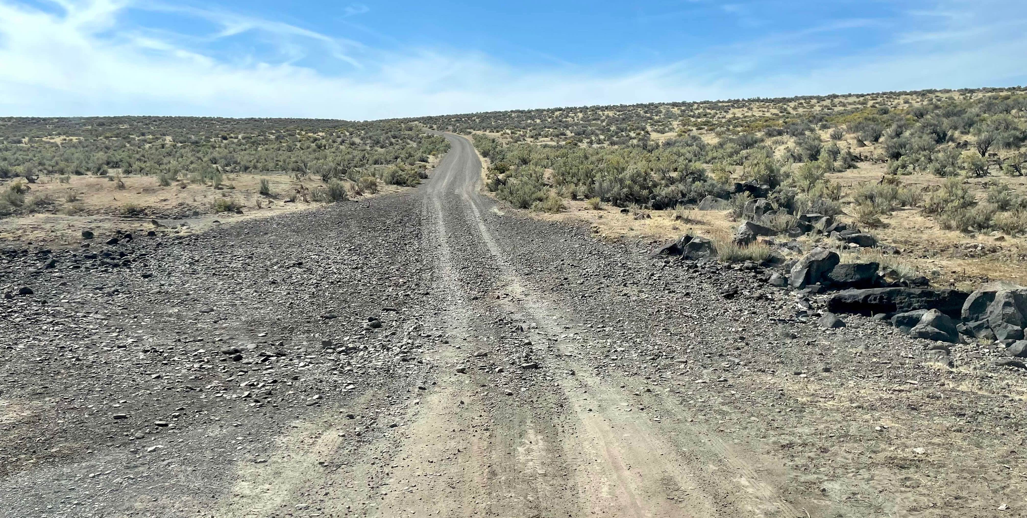
Fisherman Road is a challenging rock and soil route that ascends from Lake Owyhee near Indian Creek Boat Ramp to intersect with FS 7306 in the highlands of Lake Owyhee State Park. As of 2026, this road is again open after a substantial closure in 2025. The route is unmaintained by Oregon State Parks, and route conditions cannot be obtained through BLM or State Park resources. The route is a single lane, rough, and off-camber in sections, but offers fantastic views of Owyhee Lake and the canyonlands around it. The route should be ascended from the lake, with several tight switchbacks and no room to turn around. Trailers and vans are not recommended, and it is advised to have a scout vehicle confirm the route is clear of rockfalls before committing a group to the route. There is a "gatekeeper" off-camber section near the bottom to determine if you wish to continue the route. Do not attempt in snowy, wet, or muddy conditions. There are no facilities of any kind, and this route is not patrolled. The route can be closed at any time
Photos of Fisherman Road

Difficulty
Adverse weather conditions may increase trail difficulty. The trail is primarily gravel and soils that can become difficult mud in wet conditions
Status Reports
Fisherman Road can be accessed by the following ride types:
- High-Clearance 4x4
- SUV
Fisherman Road Map
Popular Trails
Quarry Head Trail

McDonald's Crossing
Three Forks Road North - BLM 6366-0-00

The onX Offroad Difference
onX Offroad combines trail photos, descriptions, difficulty ratings, width restrictions, seasonality, and more in a user-friendly interface. Available on all devices, with offline access and full compatibility with CarPlay and Android Auto. Discover what you’re missing today!