McLeod Creek - FS 43336
Total Miles
2.1
Technical Rating
Best Time
Spring, Summer, Fall
Trail Type
Full-Width Road
Accessible By
Trail Overview
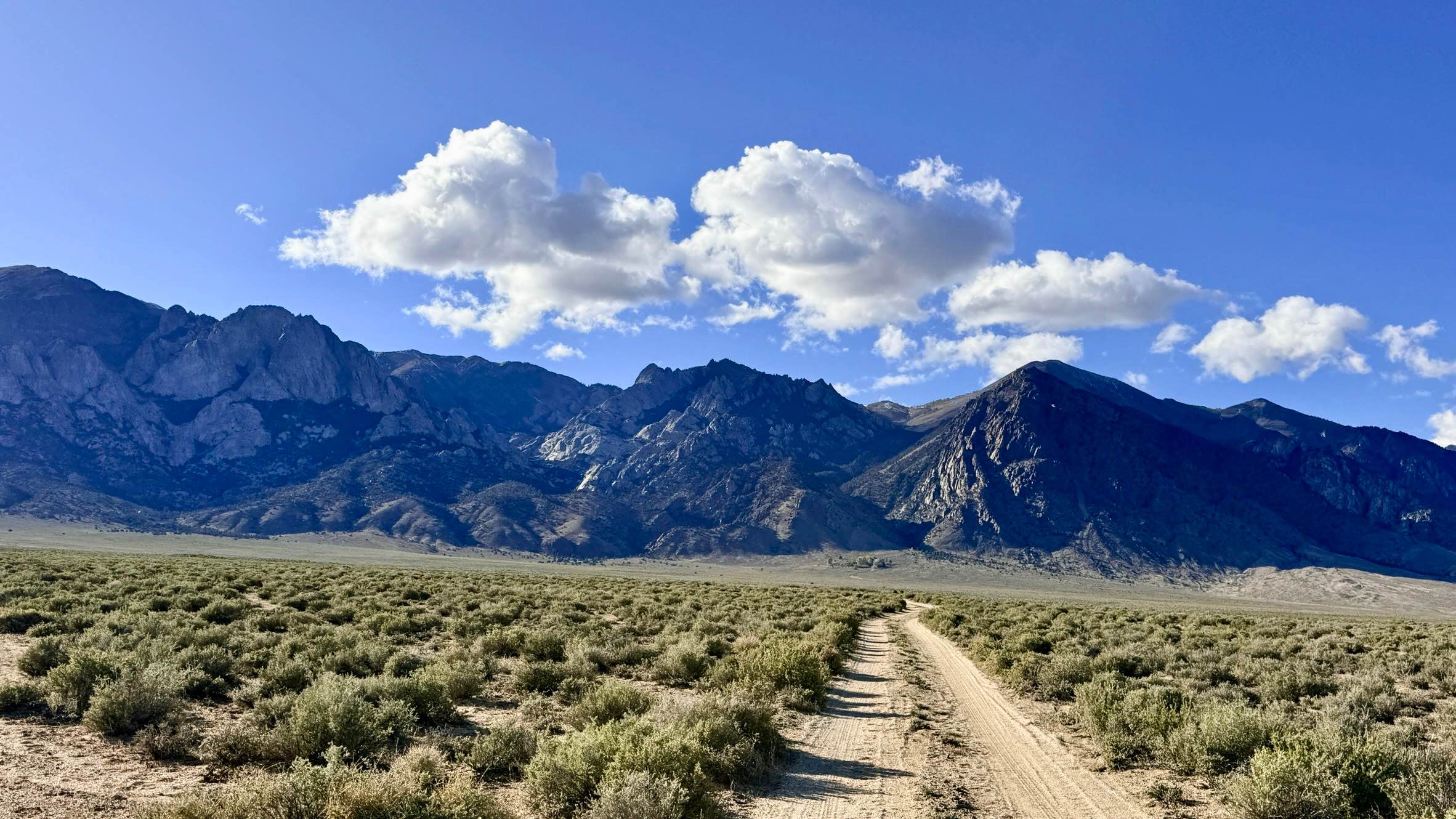
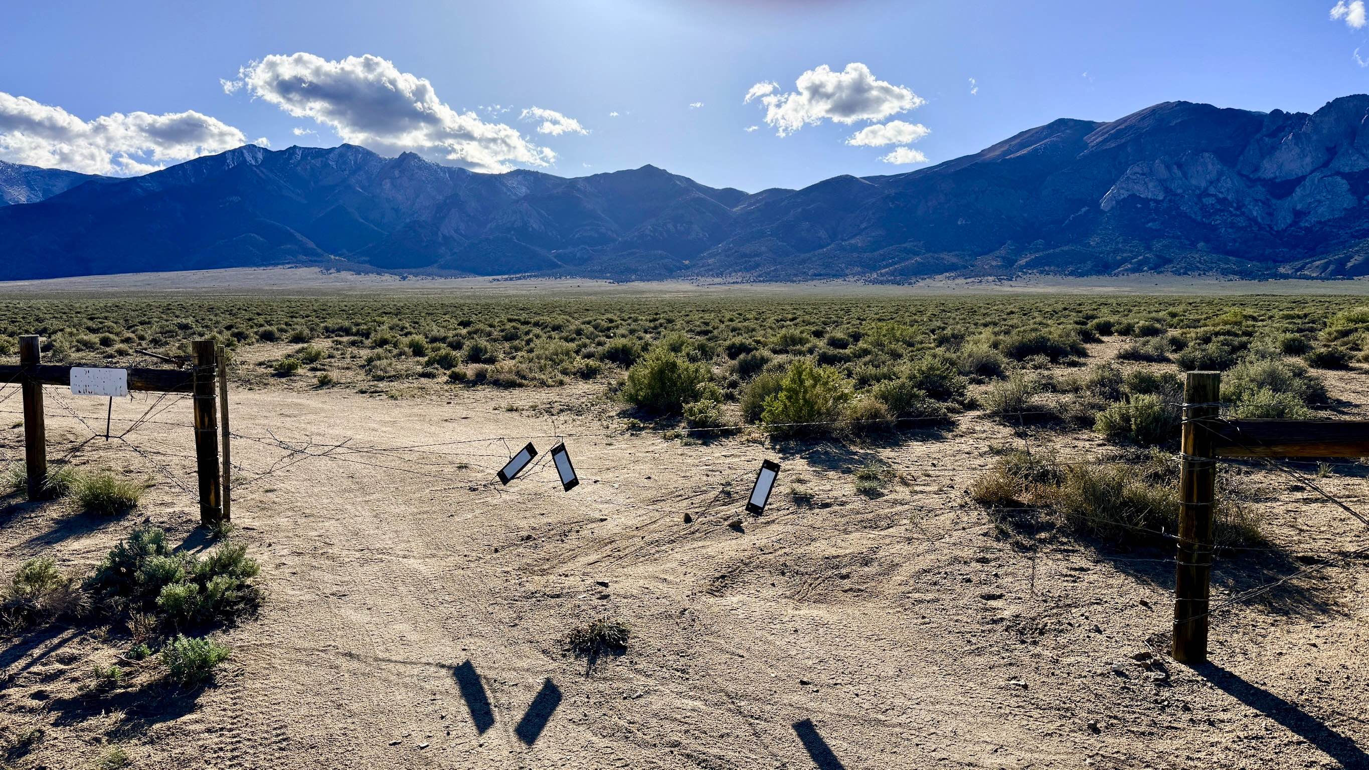
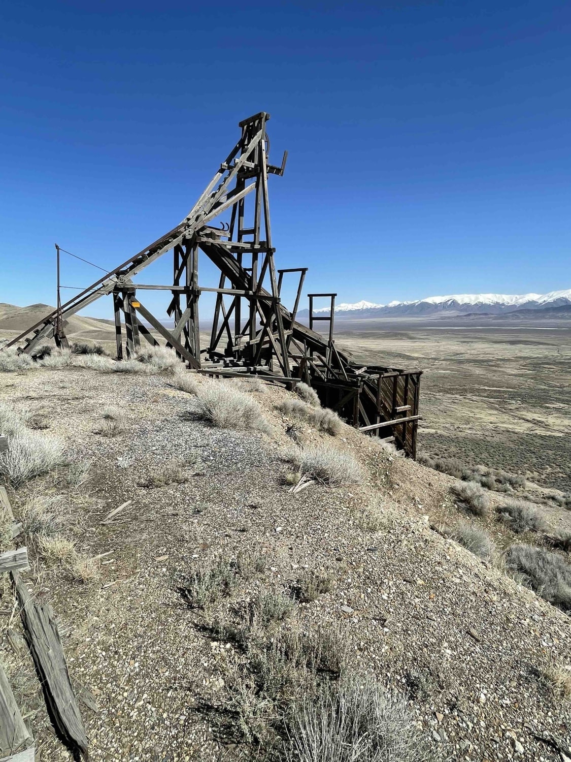
Despite its name, McLeod Creek serves primarily as a breathtaking approach through a rugged canyon rather than a direct route to the water. The landscape here is characterized by a complex array of older, reclaimed trails that speak to the area's long history of exploration. As you navigate the track, the true highlights are the towering, magnificent rock faces that loom over the canyon floor, providing a sense of scale and drama that is unique to this section of the range. The trail provides a smooth but narrow two-track experience, eventually leading you to the McLeod Bypass (#340) system. As you climb, keep your binoculars ready; the open Sagebrush near the canyon entrance is a favorite corridor for herds of Pronghorn Antelope. While the route is generally easy, the scenery is high-impact, making it an excellent choice for those who want to see the "bones of the mountain" without committing to a high-consequence technical crawl. This is active open-range territory. You will encounter cattle gates along the route; please leave them exactly as you found them (open or closed) to assist with local livestock management. There is no cell service in the deep folds of this canyon. The massive rock faces block all signals. Download offline maps before leaving the town of Kingston or Highway 376.
Photos of McLeod Creek - FS 43336
Difficulty
Rated a 2 because it is consistently narrow. While the transitions are easy, there are limited spots to pass oncoming traffic, so stay alert on blind corners. Suitable for most high-clearance SUVs and 4x4 vehicles. The easy transitions make it accessible for stock vehicles, provided they stay on the main established track.
History
The name McLeod traces back to the 19th-century pioneers who sought to harness the rare water sources of the Toiyabe Range. In the 1860s, canyons like this were surveyed for their mineral potential, but their ultimate value often lay in the timber and water they provided to the silver mills in the nearby valley.
Status Reports
McLeod Creek - FS 43336 can be accessed by the following ride types:
- High-Clearance 4x4
- SUV
- SxS (60")
- ATV (50")
- Dirt Bike
McLeod Creek - FS 43336 Map
Popular Trails

Rollercoaster Ridge ATV Trail
Alabama Mine Ruins
The onX Offroad Difference
onX Offroad combines trail photos, descriptions, difficulty ratings, width restrictions, seasonality, and more in a user-friendly interface. Available on all devices, with offline access and full compatibility with CarPlay and Android Auto. Discover what you’re missing today!