Roxbury Road
Total Kilometers
9.9
Technical Rating
Best Time
Spring, Summer, Fall
Trail Type
Full-Width Road
Accessible By
Trail Overview
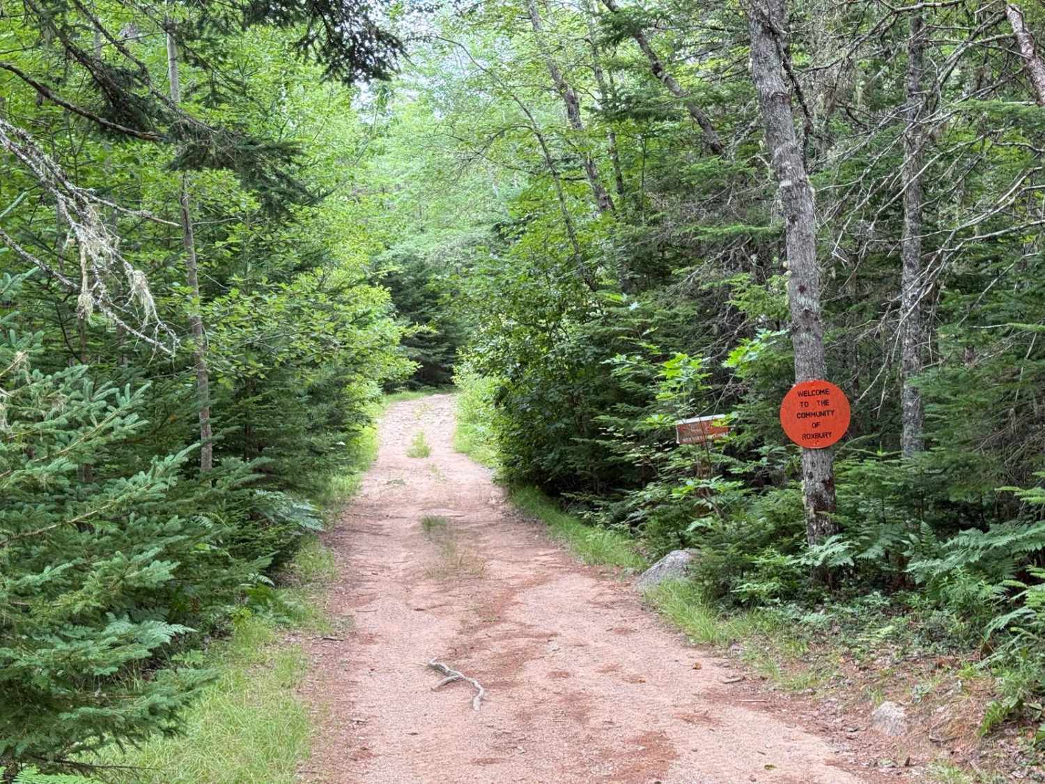
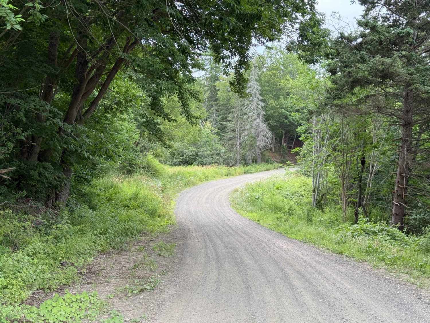
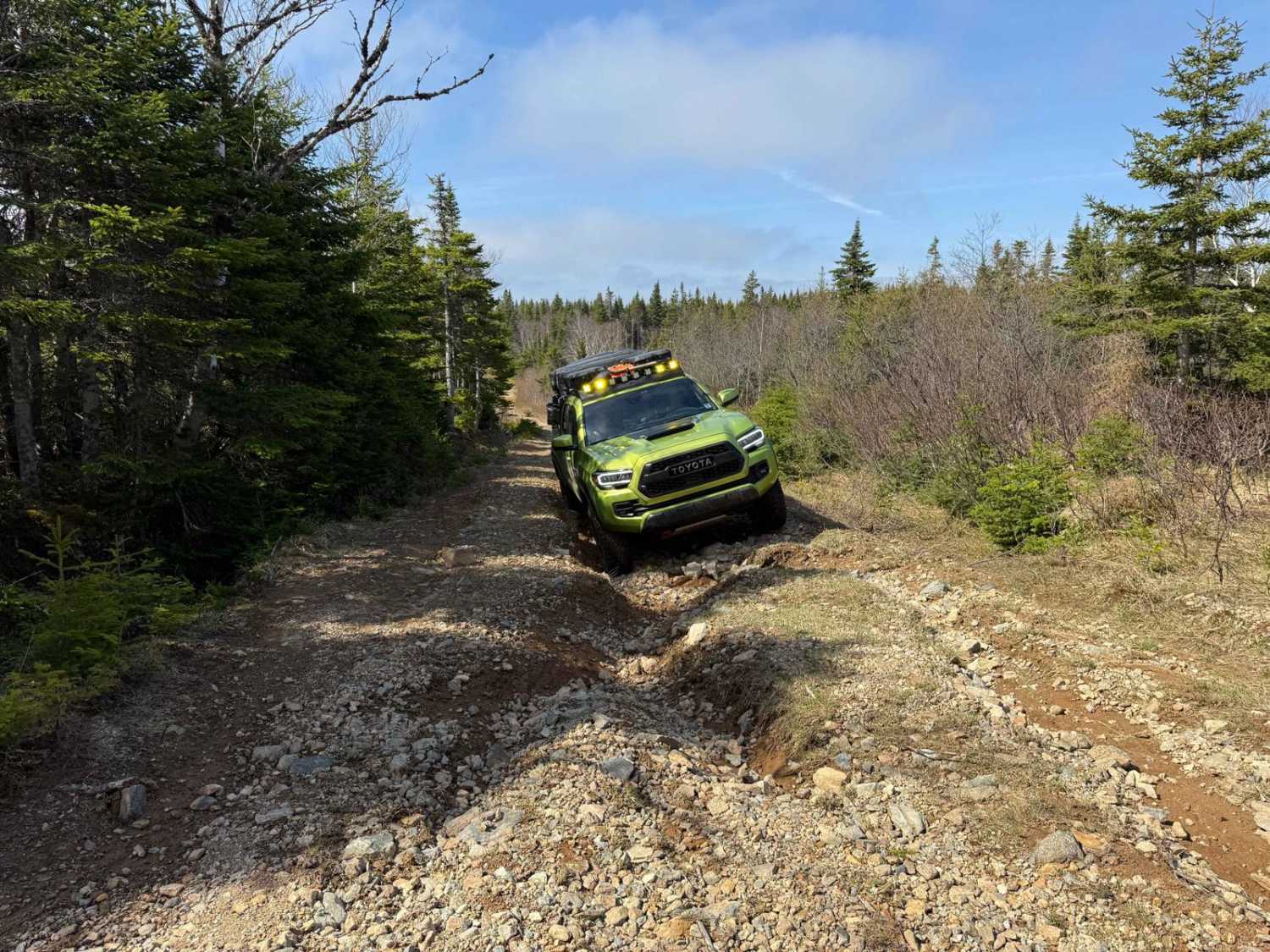
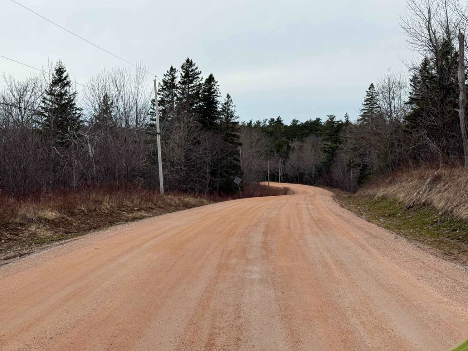
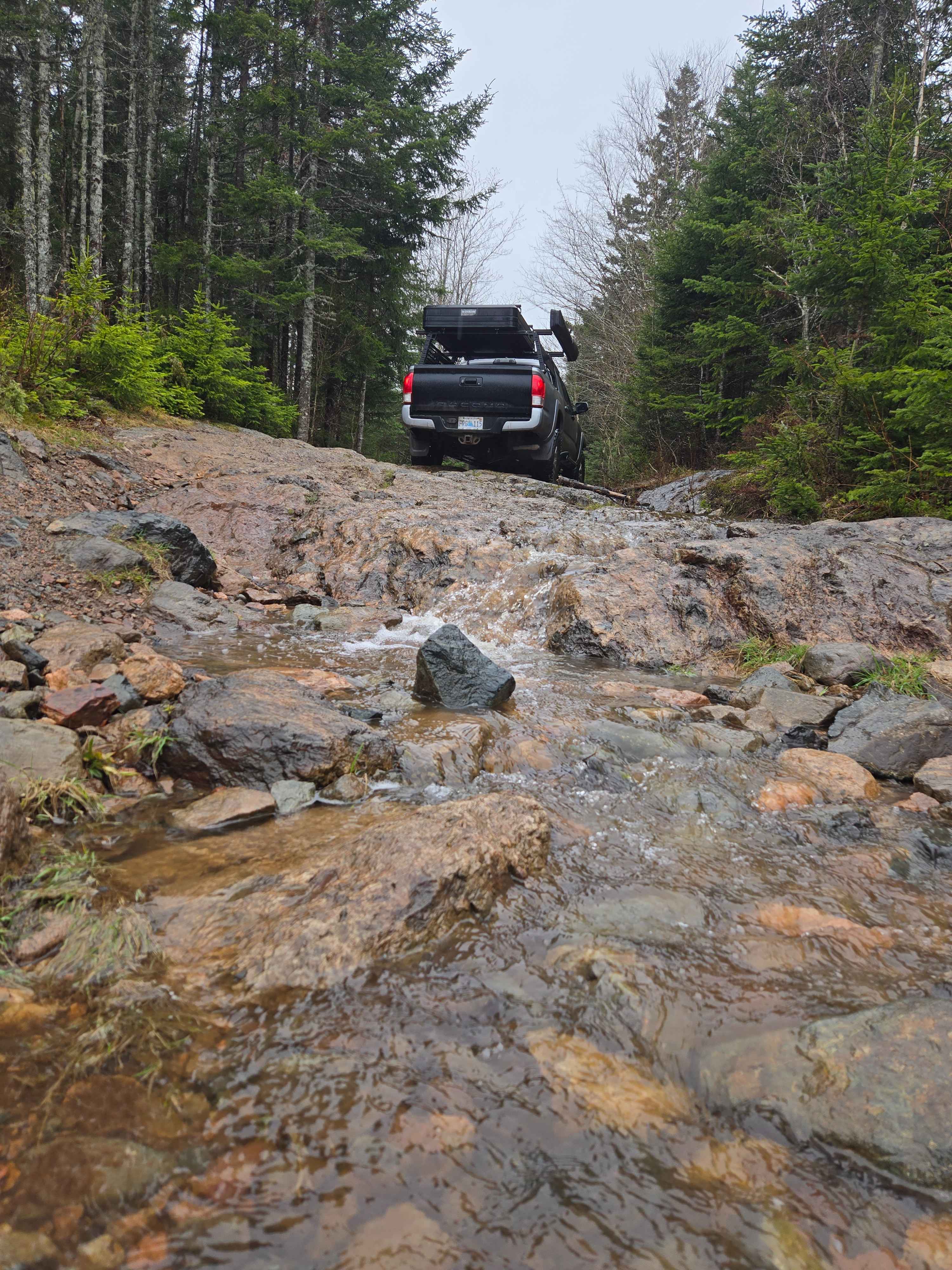
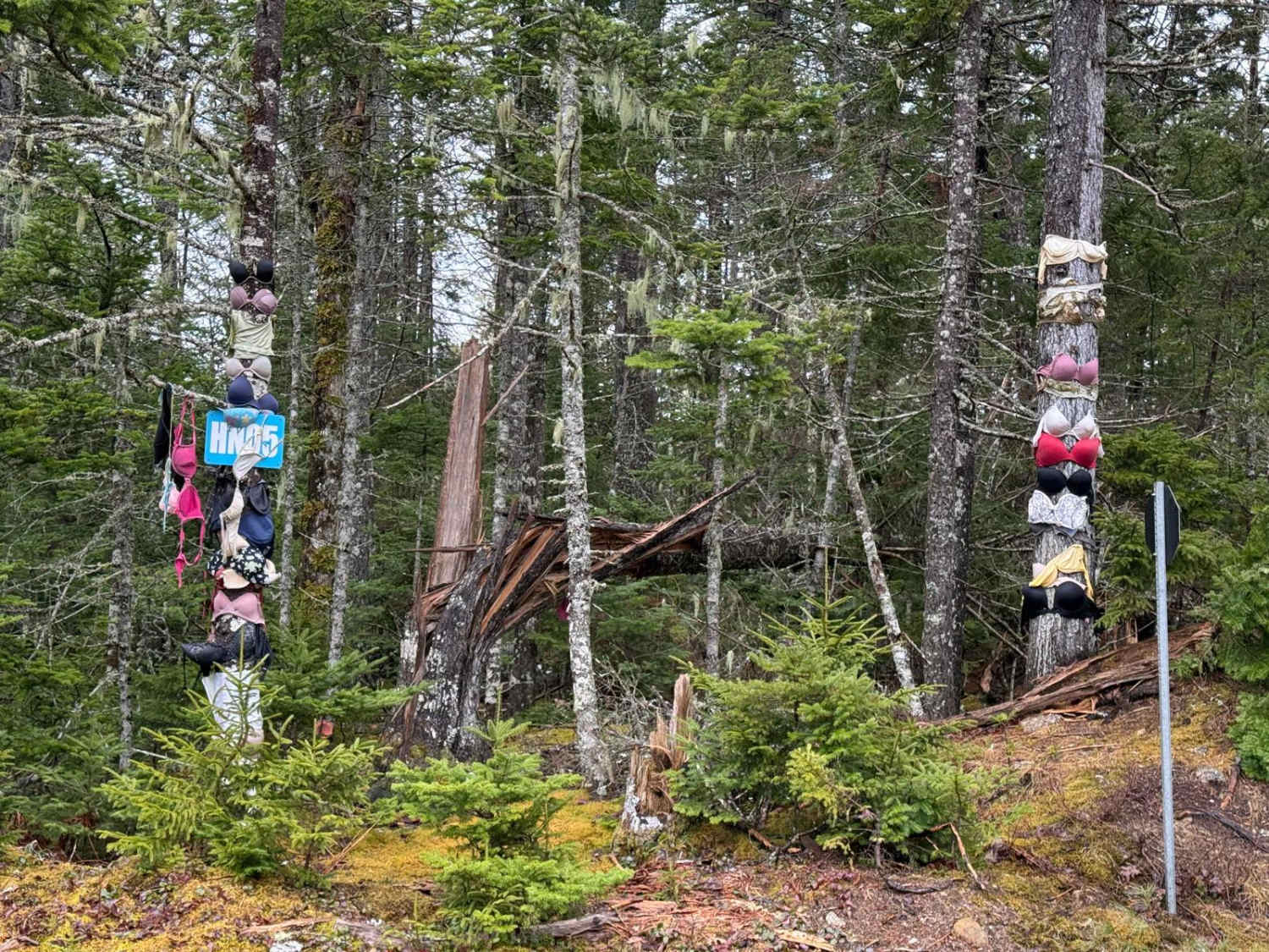
Roxbury Road starts as a wide gravel residential road and narrows at the 1.3 km mark, where there's a small parking area and a trail map showing coordinates for nearby points of interest. From here, it becomes a single-lane hard-packed dirt trail with exposed rock, small washes, patches of old asphalt, and occasional mud or water holes. Terrain varies from flat and smooth to rough and rocky. Expect regular overgrown brush that will likely scratch your vehicle. Along the way, interpretive signs from the Friends of Roxbury highlight historic sites. At 6.3 km, you'll reach the former community of Roxbury. South of here, the trail gets rougher and tighter. At 8.6 km is a T-intersection with a misplaced Roxbury sign. Left (east) connects to Trout Lake Road and the regional trail network. Straight (south) leads toward the old dam and mill site. Just past a marked point called Bobby Hill, you'll reach a sharp right-hand turn. At this bend, an overgrown trail continues straight toward the old mill site. Staying right around the corner takes you across a short causeway and ends at the Roxbury dam.
Photos of Roxbury Road
Difficulty
Well-worn trail with rough and narrow sections. Large exposed rocks, loose gravel, and frequent brush contact require careful driving. South of Roxbury is particularly tight and may result in heavy pinstriping.
History
Roxbury was once a small but thriving hilltop settlement south of Paradise. First settled in the early 1800s and once home to around 15 families, it had a church, school, post office, sawmill, and grist mill. A major fire in 1903 devastated the area, and the community gradually disappeared. The last residents left by the late 1920s. Today, stone foundations, wells, and interpretive signs mark what remains of this remote ghost town.
Status Reports
Roxbury Road can be accessed by the following ride types:
- High-Clearance 4x4
- SUV
- SxS (60")
- ATV (50")
- Dirt Bike
Roxbury Road Map
Popular Trails
Marianna Road
West Dalhousie Road
Little Snare Lake Trail
Eldridge Road
The onX Offroad Difference
onX Offroad combines trail photos, descriptions, difficulty ratings, width restrictions, seasonality, and more in a user-friendly interface. Available on all devices, with offline access and full compatibility with CarPlay and Android Auto. Discover what you’re missing today!