Route 95
Total Kilometers
13.1
Technical Rating
Best Time
Spring, Summer, Fall
Trail Type
Full-Width Road
Accessible By
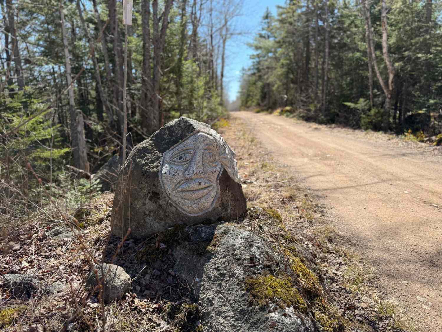
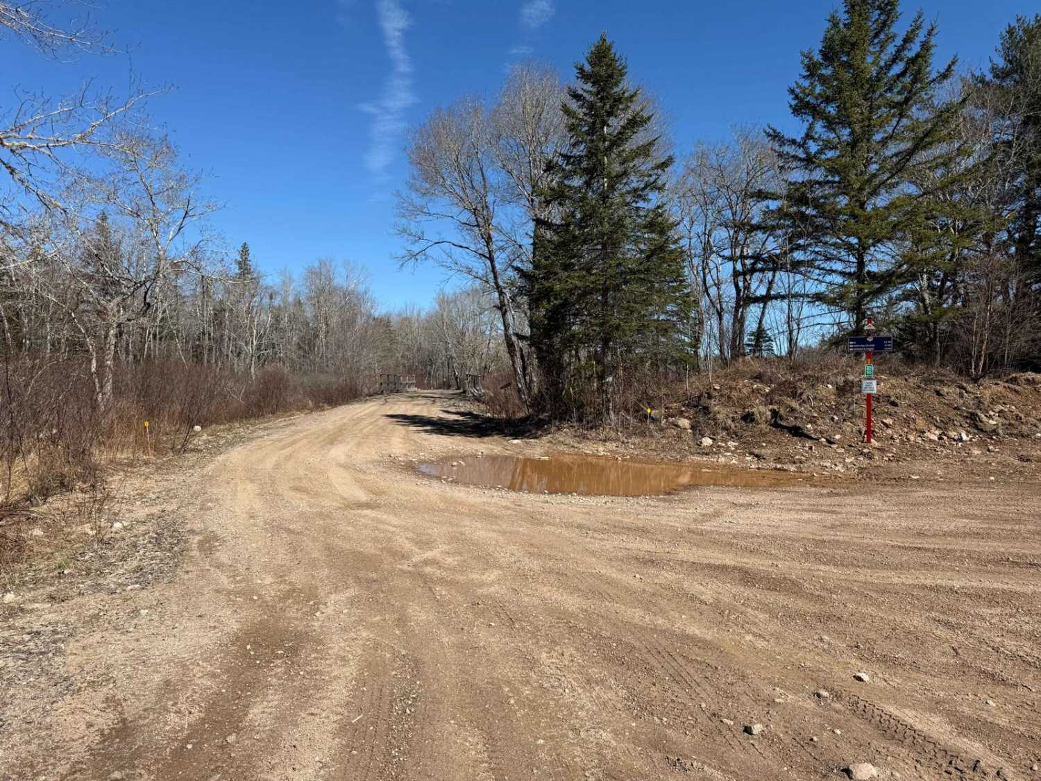
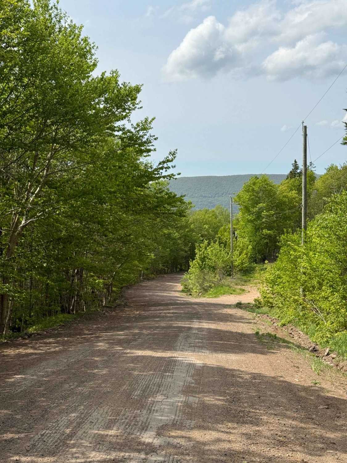
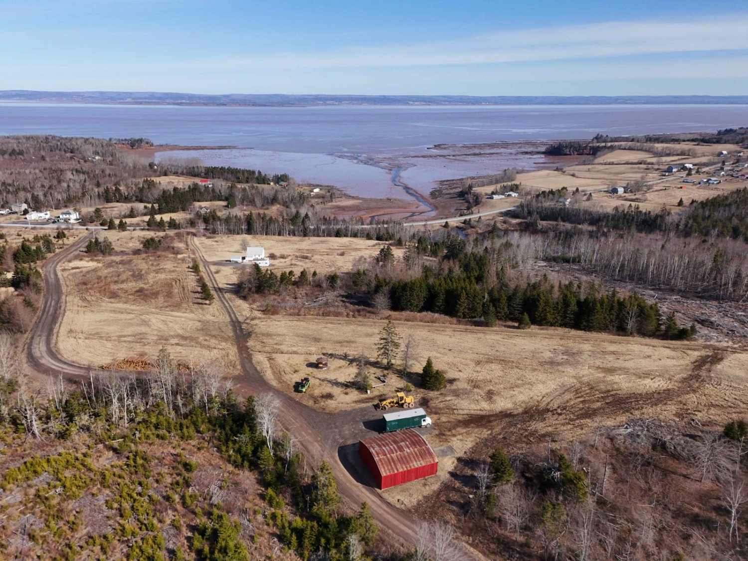
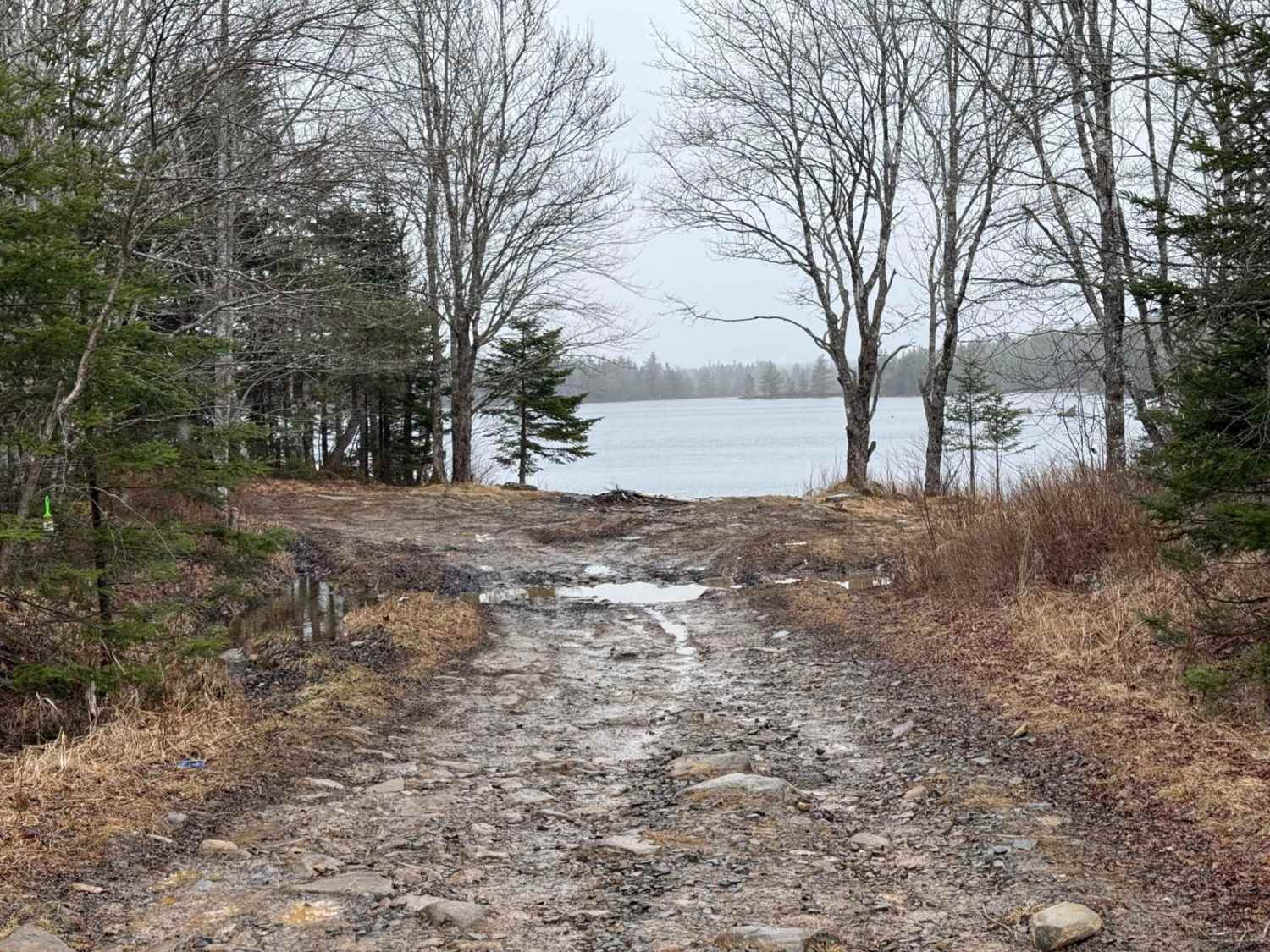
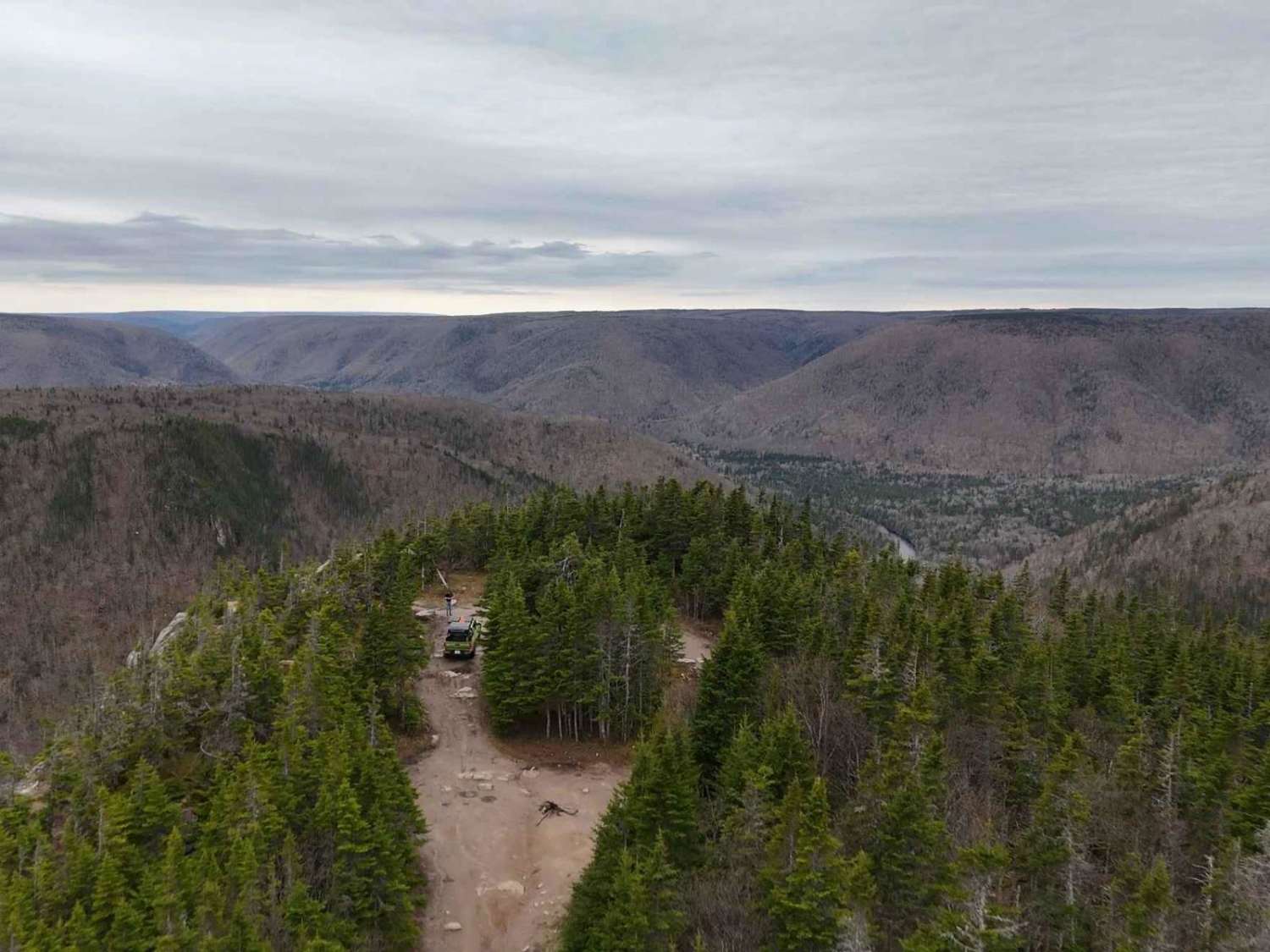
Trail Overview
Route 95 begins at the south end, starting from Fire Road, and follows the rail bed of the former Springfield railway for the first 5.8 km. This section features hard-packed dirt and is relatively smooth. At the Y junction, keep left to continue on the trail, which maintains a hard-packed dirt surface with no significant obstacles. While the trail is single lane, it is generally wide enough for vehicles to pass. Watch for occasional washouts along the way.
Photos of Route 95
Difficulty
Route 95 is relatively smooth and features gradual turns, making it accessible for most vehicles. The hard-packed dirt surface and lack of significant obstacles ensure the trail is beginner-friendly. However, drivers should remain cautious and watch for potential washouts, particularly after heavy rainfall.
History
Route 95 begins on the rail bed of the former Springfield Railway, a logging railway operated by the Davison Lumber Company in the early 20th century. Constructed in 1905, the railway expanded to cover over 105 kilometres, connecting 325,000 acres of company-owned woodland. This section of the trail provides a glimpse into the region's logging heritage, showcasing the vital role the railway played in the local timber industry. Though the railway was abandoned as the industry declined, the repurposed rail bed now serves as a scenic trail through Nova Scotia's wilderness.
Status Reports
Route 95 can be accessed by the following ride types:
- High-Clearance 4x4
- SUV
- SxS (60")
- ATV (50")
- Dirt Bike
Route 95 Map
Popular Trails
Fielding Road
Rockey Lake Trail
Cape Clear
The onX Offroad Difference
onX Offroad combines trail photos, descriptions, difficulty ratings, width restrictions, seasonality, and more in a user-friendly interface. Available on all devices, with offline access and full compatibility with CarPlay and Android Auto. Discover what you’re missing today!