Gibson Falls Run
Total Kilometers
16.0
Technical Rating
Best Time
Fall, Summer, Spring
Trail Type
Full-Width Road
Accessible By
Trail Overview
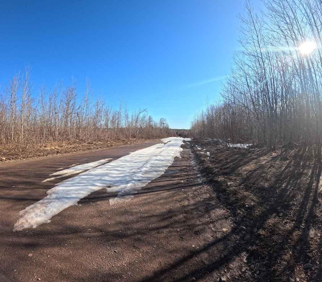
Entering from Hickey Road in West Waterville, you will find yourself on a snowmobile trail that's mostly rocky bottom. Passing many beaver ponds, the trail is fairly well maintained save for a dam right on the trail. The water is usually about 18 inches deep but with a rock bottom. When you get to the end of the trail there is a parking area and footpath next to a little bridge. Down the trail, you will find a multi-tiered Gibson Falls.
Photos of Gibson Falls Run


Difficulty
Dammed trails with 18 inches of water.
Status Reports
Gibson Falls Run can be accessed by the following ride types:
- High-Clearance 4x4
- SUV
- SxS (60")
- ATV (50")
- Dirt Bike
Gibson Falls Run Map
Popular Trails

Yesterdays Rough Ride

Kingsley Winter Pass

Pioneer Steet
North Tay Winter Trail
The onX Offroad Difference
onX Offroad combines trail photos, descriptions, difficulty ratings, width restrictions, seasonality, and more in a user-friendly interface. Available on all devices, with offline access and full compatibility with CarPlay and Android Auto. Discover what you’re missing today!