Gasline Shortcut
Total Kilometers
5.7
Technical Rating
Best Time
Summer, Fall, Spring
Trail Type
Full-Width Road
Accessible By
Trail Overview
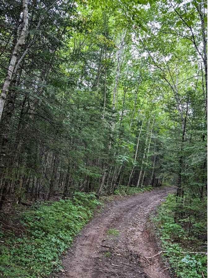
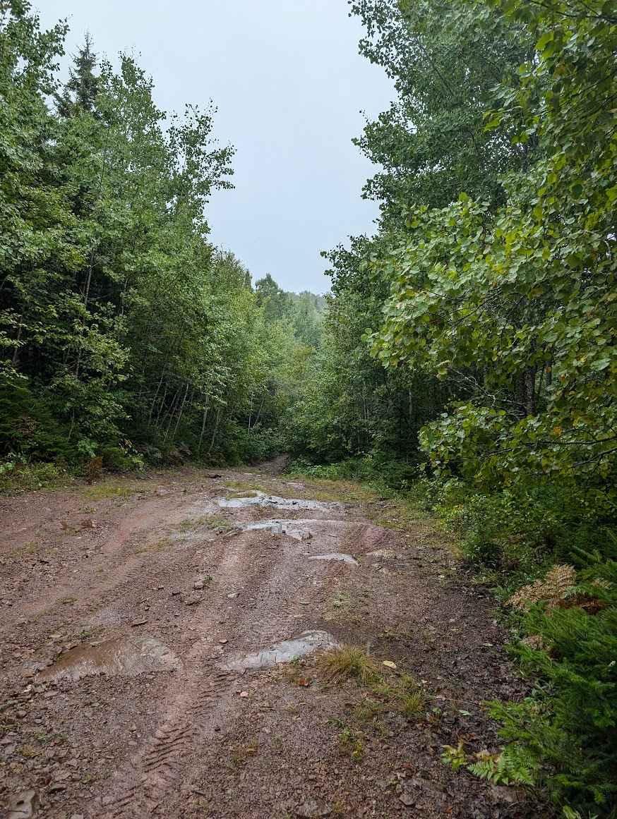
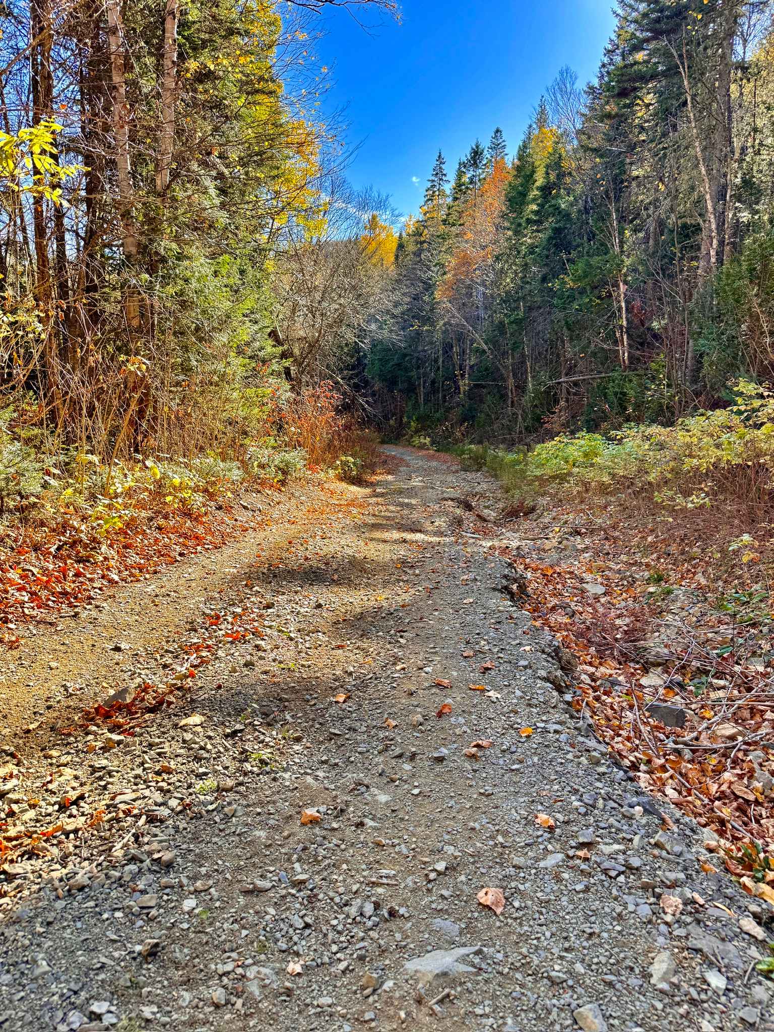
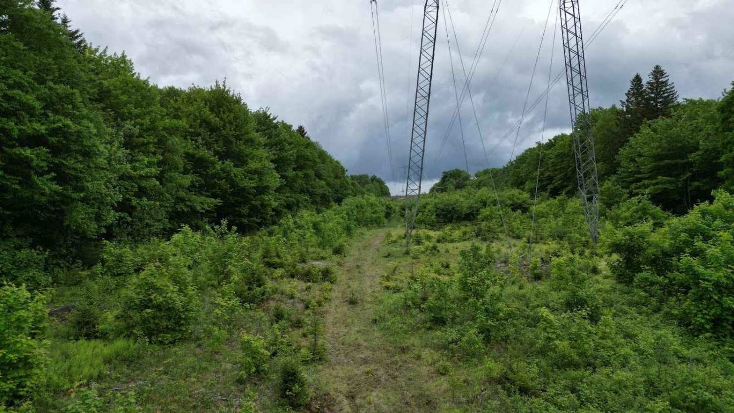
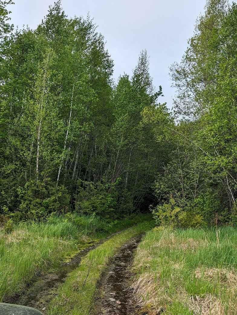
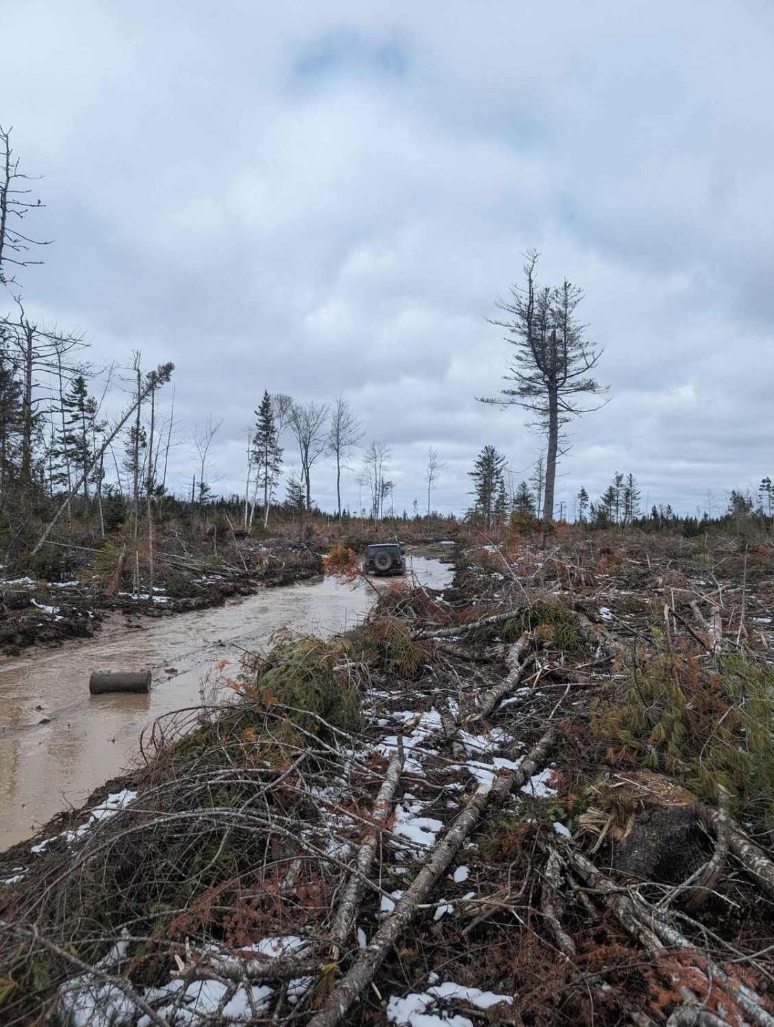
This path is right at the end of Penniac Road and takes you to the Penniac Gas Line. Expect winding trails through mud, washouts, up and down steep hills, and encroaching foliage. The trail also goes through a conservation area and wildlife refuge. This means no hunting regardless of the season.
Photos of Gasline Shortcut
Difficulty
This is a rutted and muddy trail but still can be accomplished by less experienced riders.
Status Reports
Gasline Shortcut can be accessed by the following ride types:
- High-Clearance 4x4
- SUV
- SxS (60")
- ATV (50")
- Dirt Bike
Gasline Shortcut Map
Popular Trails
Upper Nine Mile Pool Access
Crow Hill Climb
Dry and Wiry Spur
Douglas Clearcut
The onX Offroad Difference
onX Offroad combines trail photos, descriptions, difficulty ratings, width restrictions, seasonality, and more in a user-friendly interface. Available on all devices, with offline access and full compatibility with CarPlay and Android Auto. Discover what you’re missing today!