Telkwa Pass
Total Kilometers
28.7
Technical Rating
Best Time
Summer, Fall
Trail Type
Full-Width Road
Accessible By
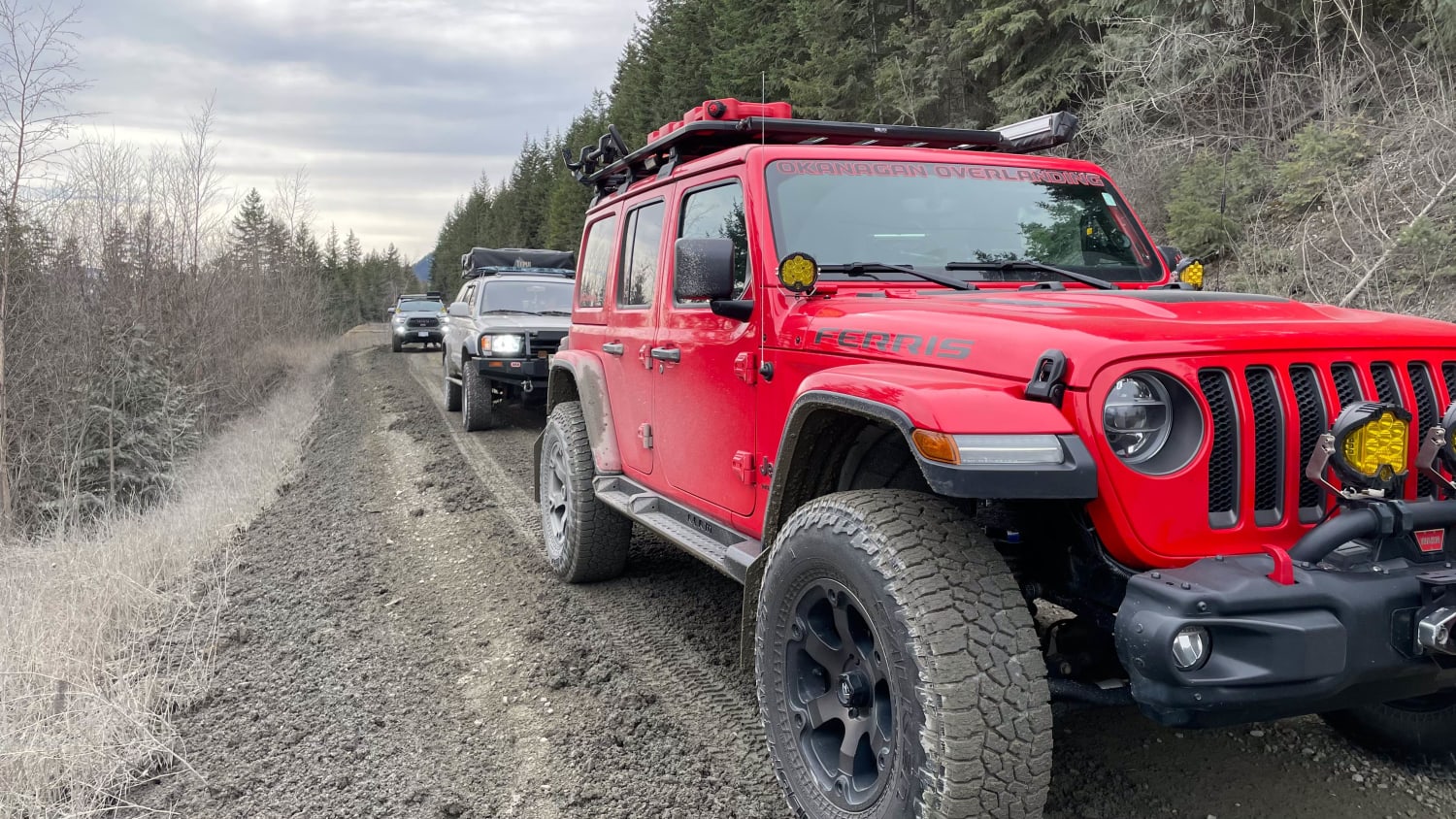
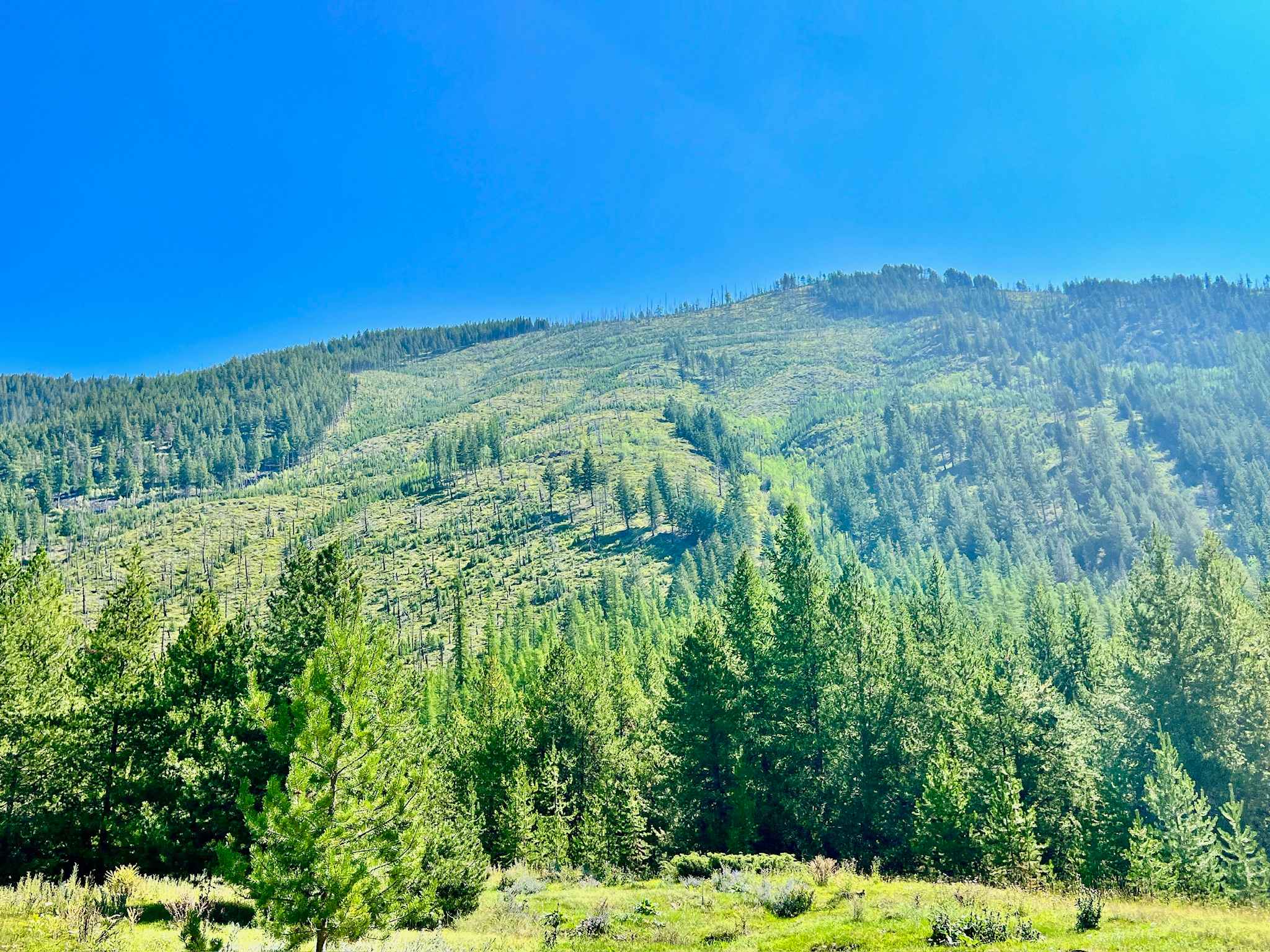
Trail Overview
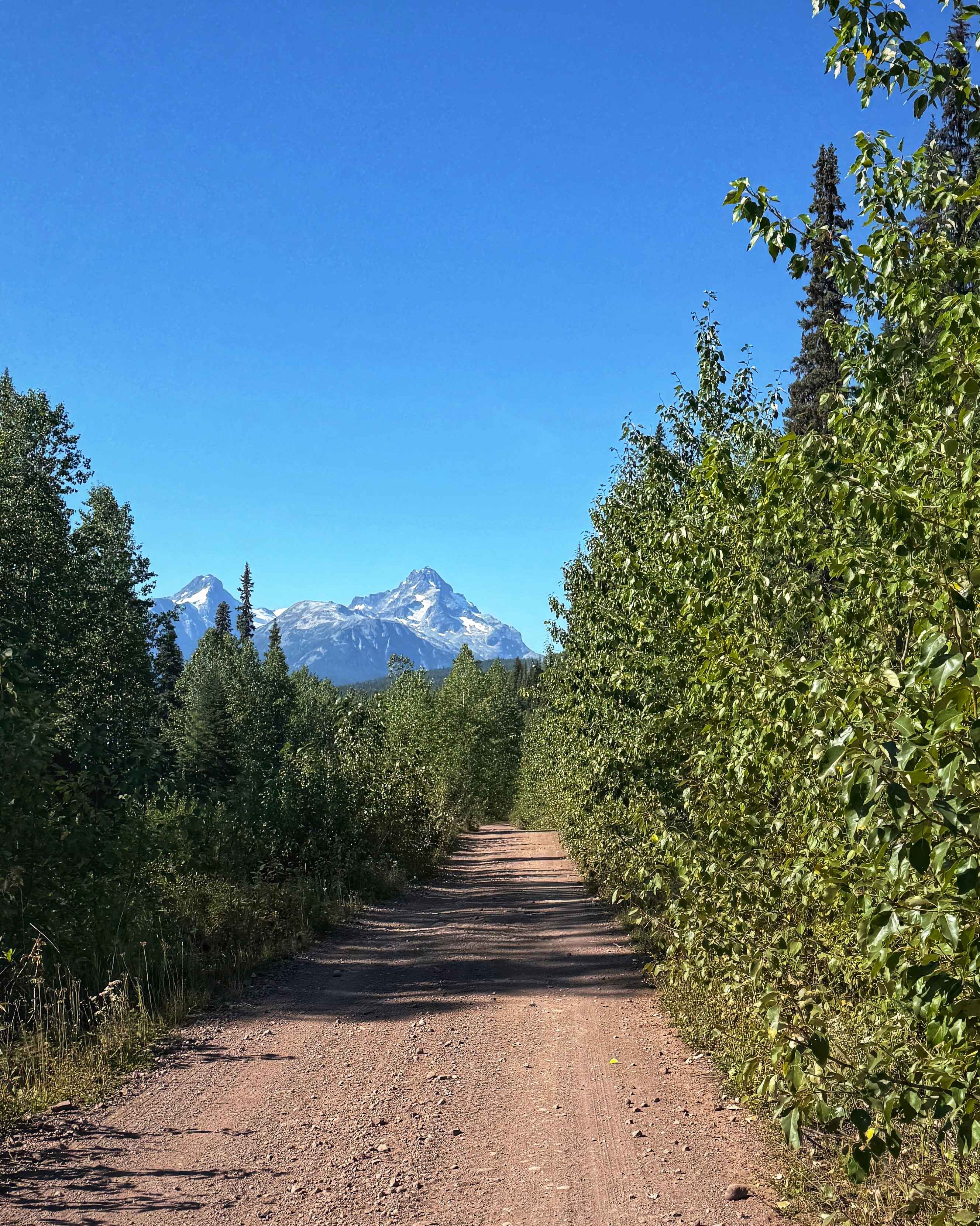
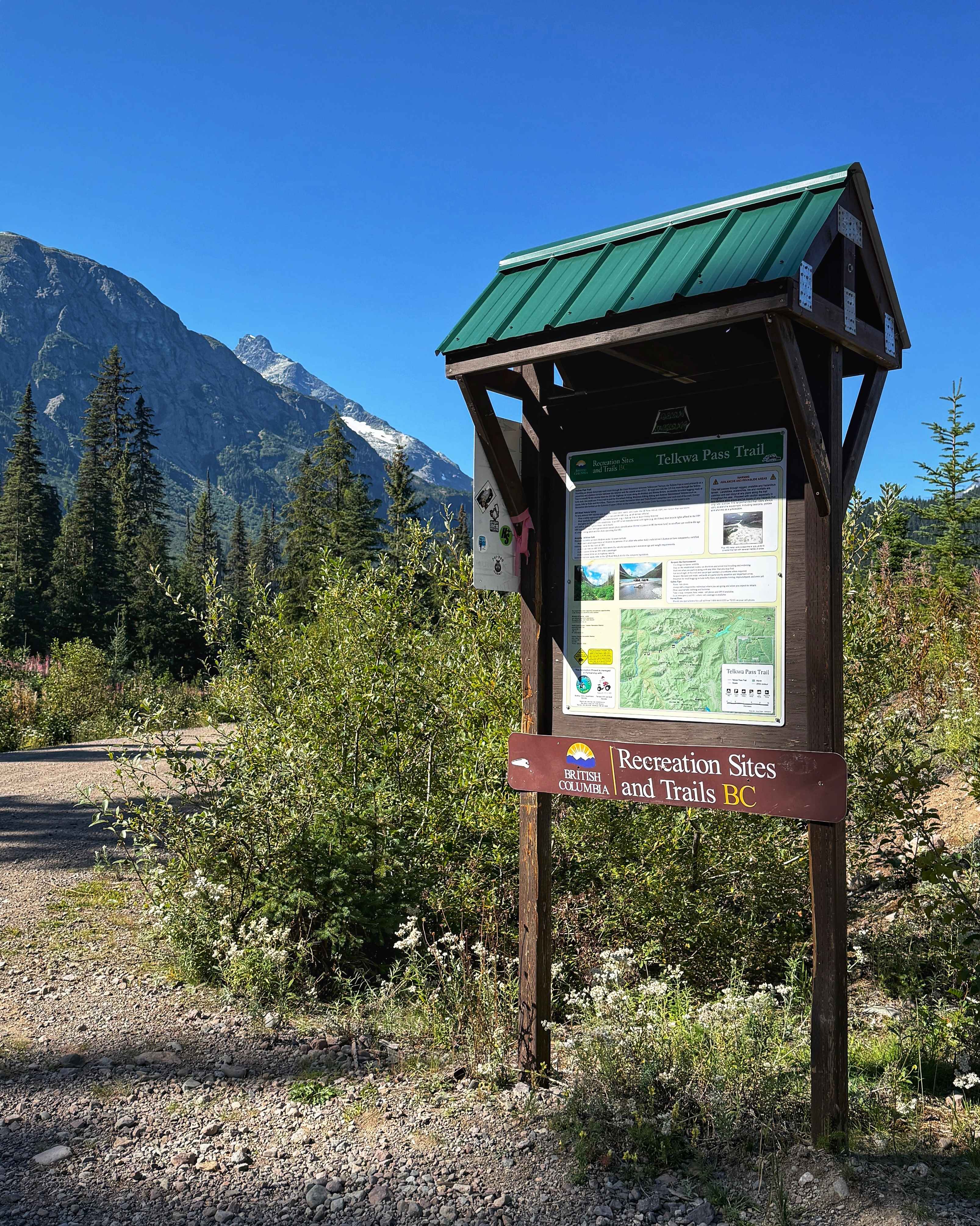
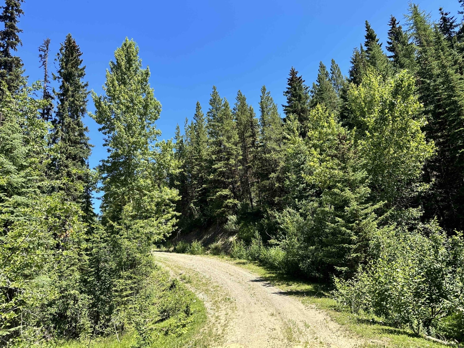
The Telkwa Pass is one trail in the Northwest of British Columbia that every Four Wheel Drive enthusiast should do once. Coming from Telkwa/Smithers, the road starts as a regular, easy Forest Service road. At the midpoint of this route, you will find a sign giving some information on the Telkwa Pass, followed by a small marker that starts the "Trail". At this point, the trail is narrow and makes its way down into the valley. The deeper you travel, the more narrow it becomes, so expect pinstriping. There are a number of steep hills, loose rocks, and medium-sized boulders to drive over. Once you pass a small shelf road, you will reach the first area to camp at. As you get closer to Top Lake, the trail becomes a stream. As of late August, this was knee deep and very cold. Lots of water crossing as you reach Top Lake, where you will find a large sandbar that is a popular camp spot.
Photos of Telkwa Pass
Difficulty
This trail is very tight, expect pinstriping from overgrown vegetation. There are a few larger branches that keep drivers on their toes. The water crossings can be deep and narrow. The first water crossing doubles as a stream where you travel with the stream, not across it.
Status Reports
Telkwa Pass can be accessed by the following ride types:
- High-Clearance 4x4
- SUV
- SxS (60")
- ATV (50")
- Dirt Bike
Telkwa Pass Map
Popular Trails
Red Deer Falls
Adams Lake
Plumbob Creek FSR
The onX Offroad Difference
onX Offroad combines trail photos, descriptions, difficulty ratings, width restrictions, seasonality, and more in a user-friendly interface. Available on all devices, with offline access and full compatibility with CarPlay and Android Auto. Discover what you’re missing today!