Sharptail South
Total Kilometers
3.5
Technical Rating
Best Time
Spring, Summer, Fall
Trail Type
Full-Width Road
Accessible By
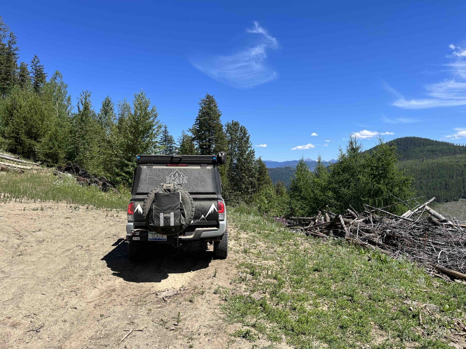
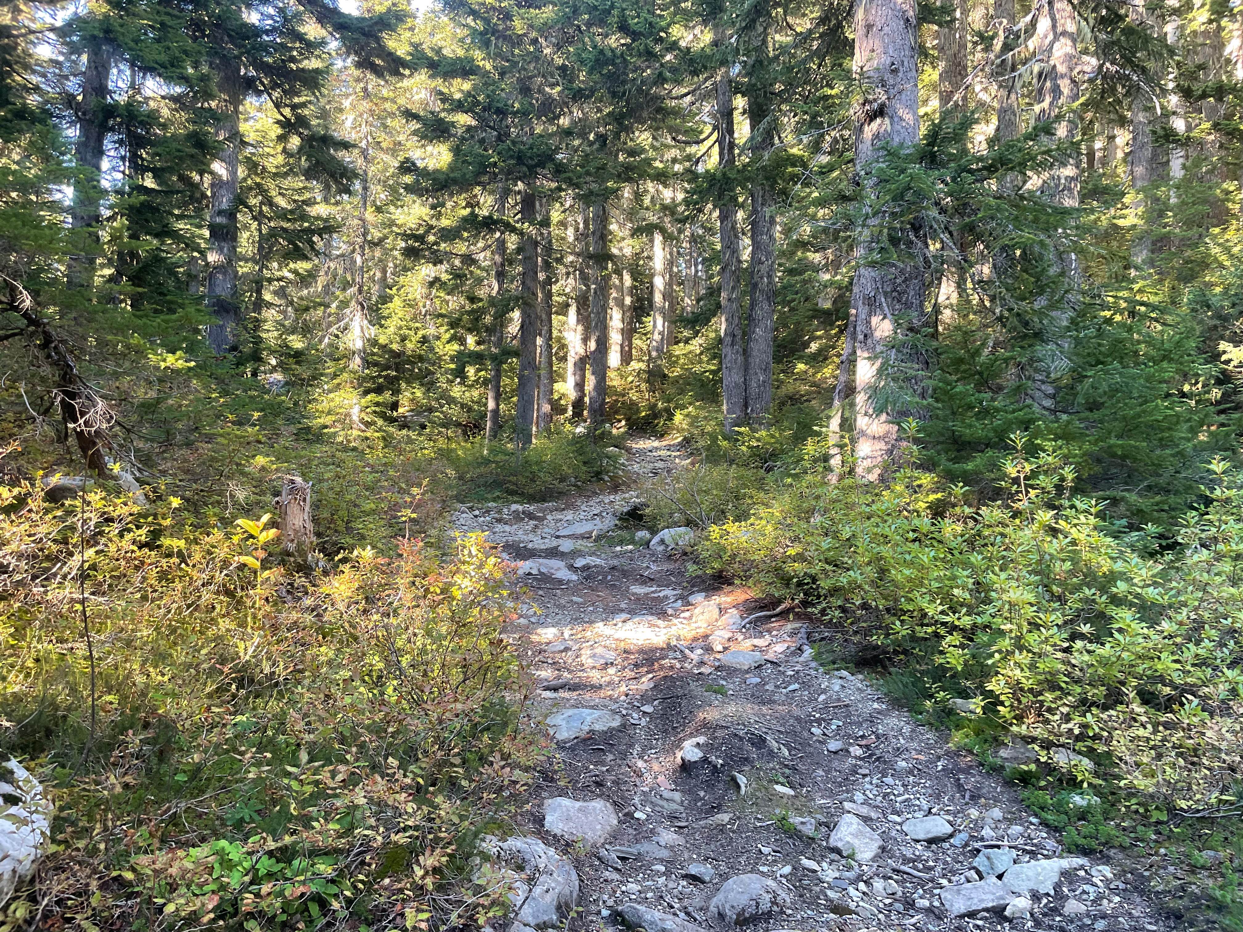
Trail Overview
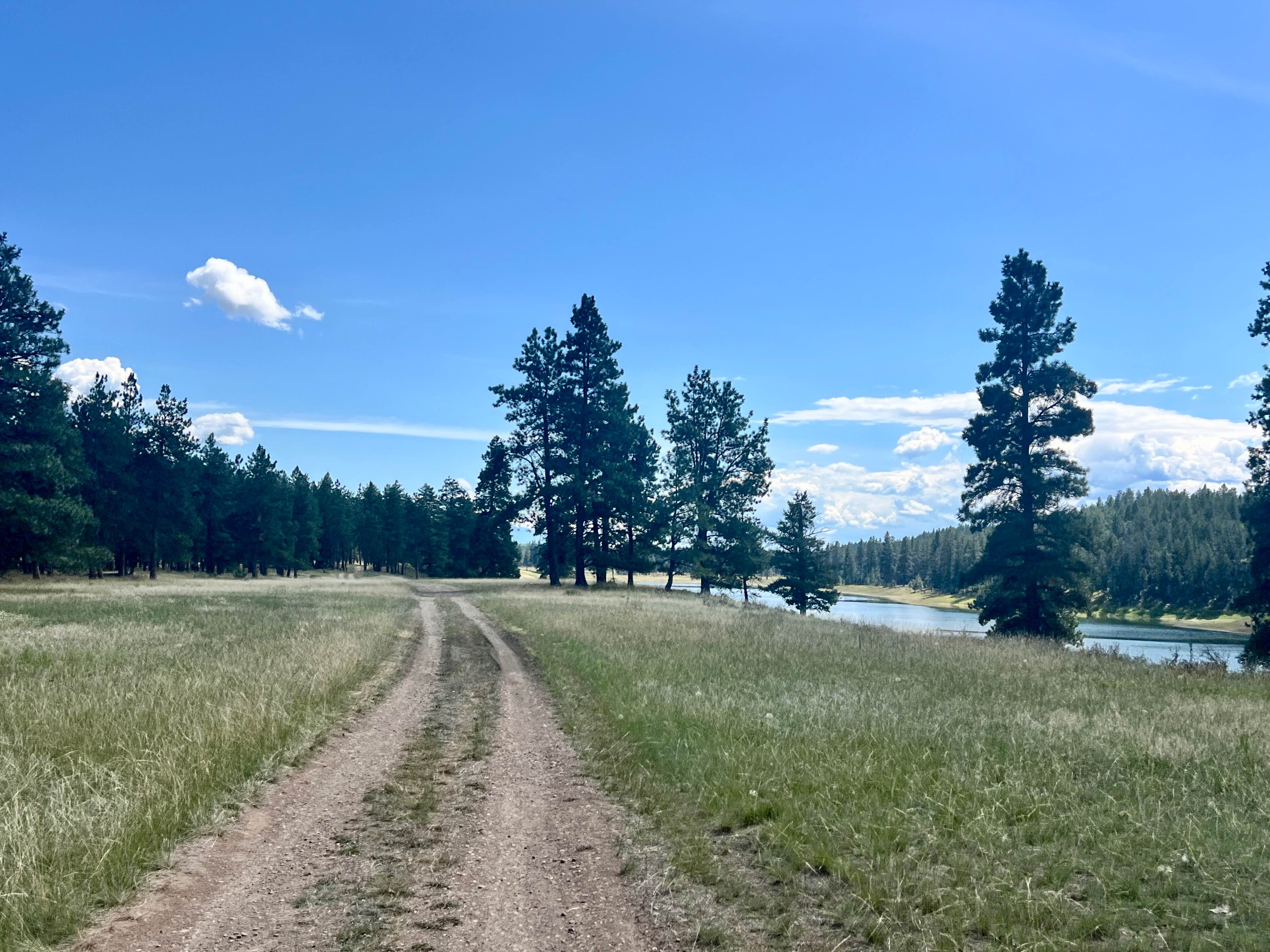
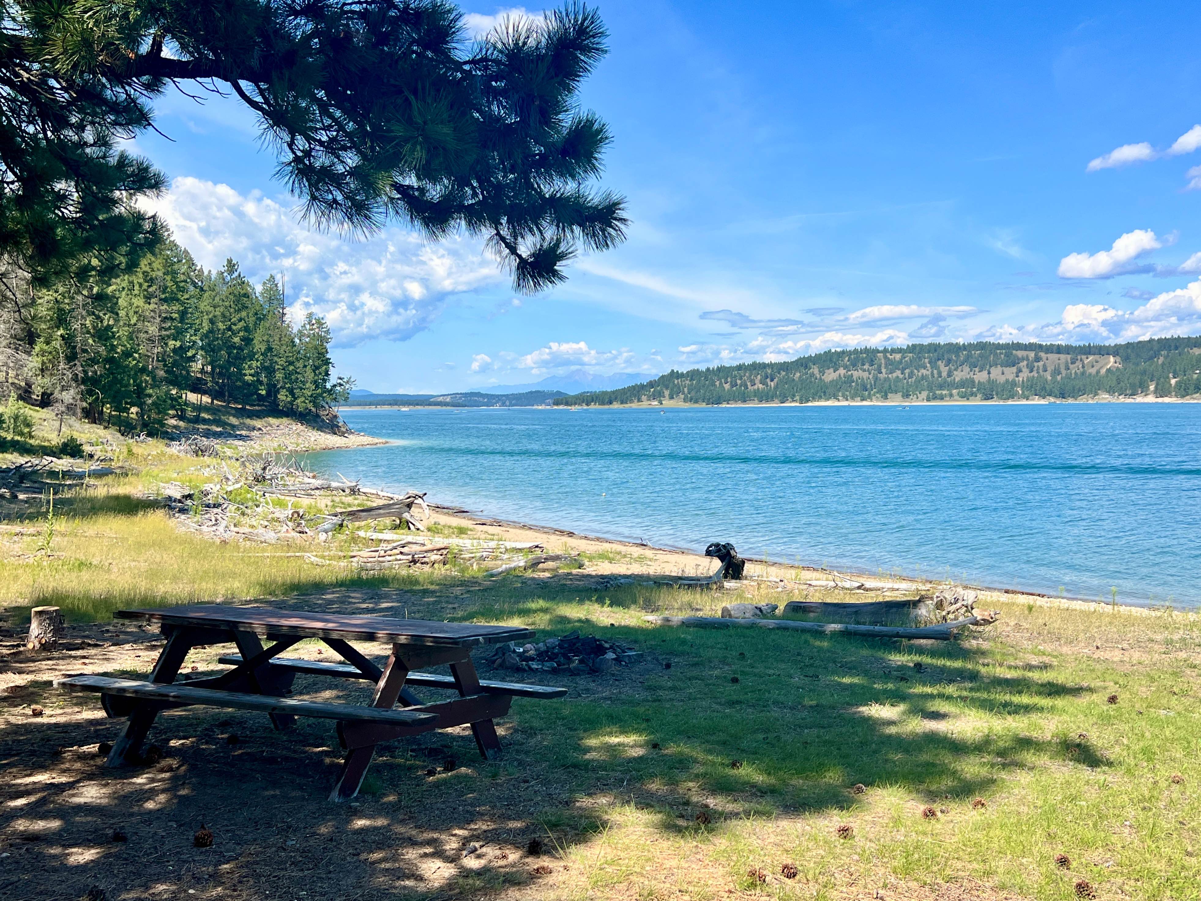
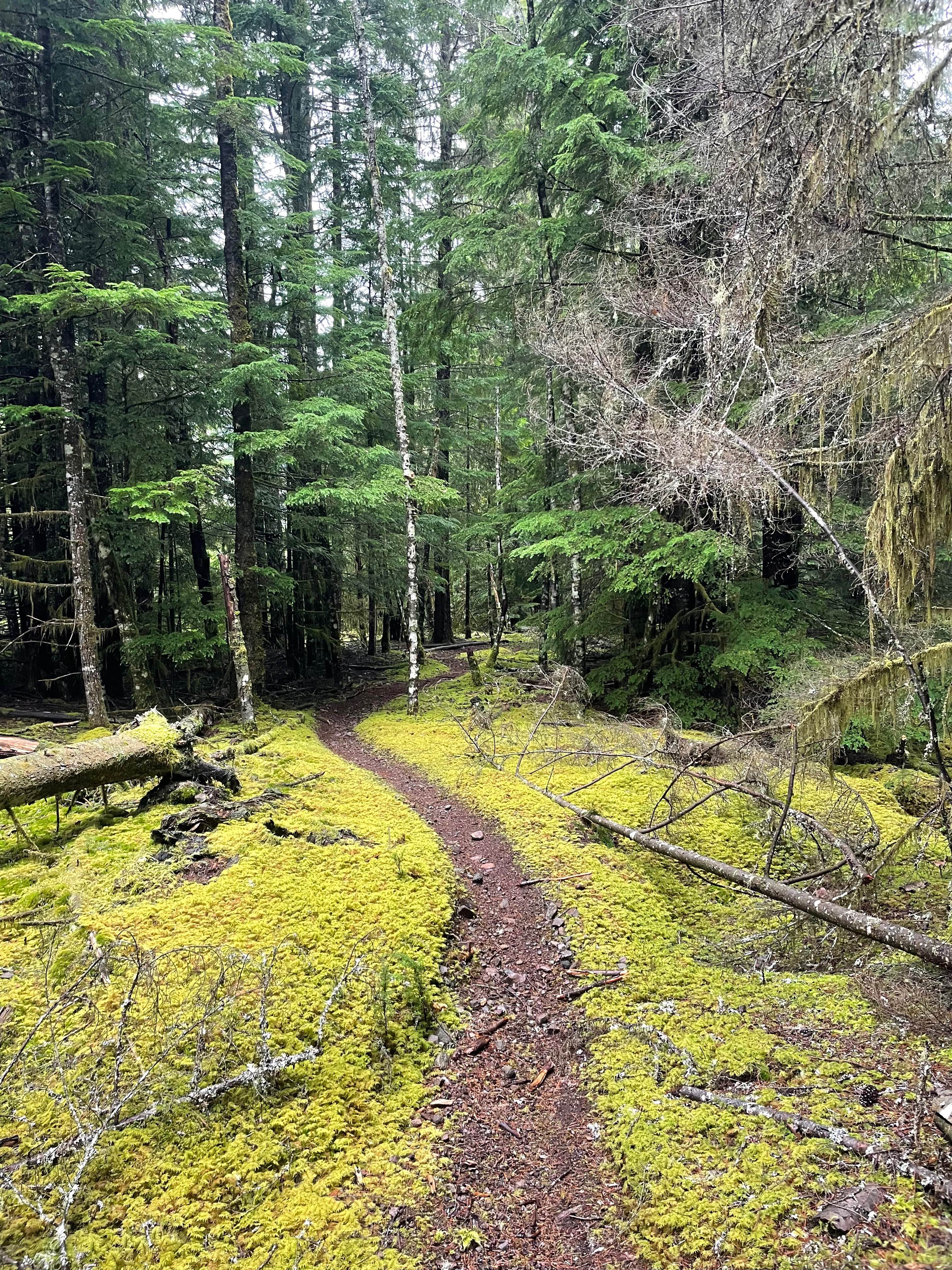
This bumpy, remote out-and-back trail leads to the southernmost unimproved camping sites of Sharptail South on Lake Koocanusa. The first spur trail takes you to the officially marked Sharptail South area, with a few flat spots and fire rings to call your own for the night, offering elevated views of the Lake and plenty of shade. A short, steep scramble down the hill on foot gets you down to the water to cool off, take a dip, or go for a paddle. Continuing to the right at the Y leads toward the more southern Sharptail undeveloped recreation areas, offering numerous camping spots along this remote stretch of the lake. The views are spectacular as you weave through the trees. Early on the trail hugs a little lake. Keep an eye out for deer frolicking and crossing the trail, particularly close to this smaller lake area. Be ready to clear felled trees in the springtime or after a large storm. There is no cell service. To ensure you have consistent map coverage, please download your offline maps before exploring the area. Crown Land Camping: Canadian Crown Land is open to Canadian residents for free camping. Out-of-country visitors, particularly from the US, will need to obtain a camping permit from the nearest FrontCounter BC office in Cranbrook before camping on Crown land if camping outside of the paid campsite.
Photos of Sharptail South
Difficulty
There are a couple of loose hill climbs and suspension flex sections, particularly getting in and out of the camping areas. This trail can be muddy in the spring or after a big storm. The trail is one vehicle wide and will require oncoming traffic to pull off or back up to pass.
History
Sharptail South, situated within the Koocanusa Recreation Management Area, is part of the traditional territory of the Ktunaxa people. The area offers a more modern landscape shaped by the creation of Lake Koocanusa in the late 1960s following the construction of the Libby Dam. People now enjoy the wildlife, peace, and access to the water.
Status Reports
Sharptail South can be accessed by the following ride types:
- High-Clearance 4x4
- SUV
- SxS (60")
- ATV (50")
- Dirt Bike
Sharptail South Map
Popular Trails
Whistle Punk
Runway
Bonneau Spur Route
Doubletrack #1
The onX Offroad Difference
onX Offroad combines trail photos, descriptions, difficulty ratings, width restrictions, seasonality, and more in a user-friendly interface. Available on all devices, with offline access and full compatibility with CarPlay and Android Auto. Discover what you’re missing today!