Port Main Forest Service Road
Total Kilometers
14.3
Technical Rating
Best Time
Spring, Summer, Fall, Winter
Trail Type
Full-Width Road
Accessible By
Trail Overview
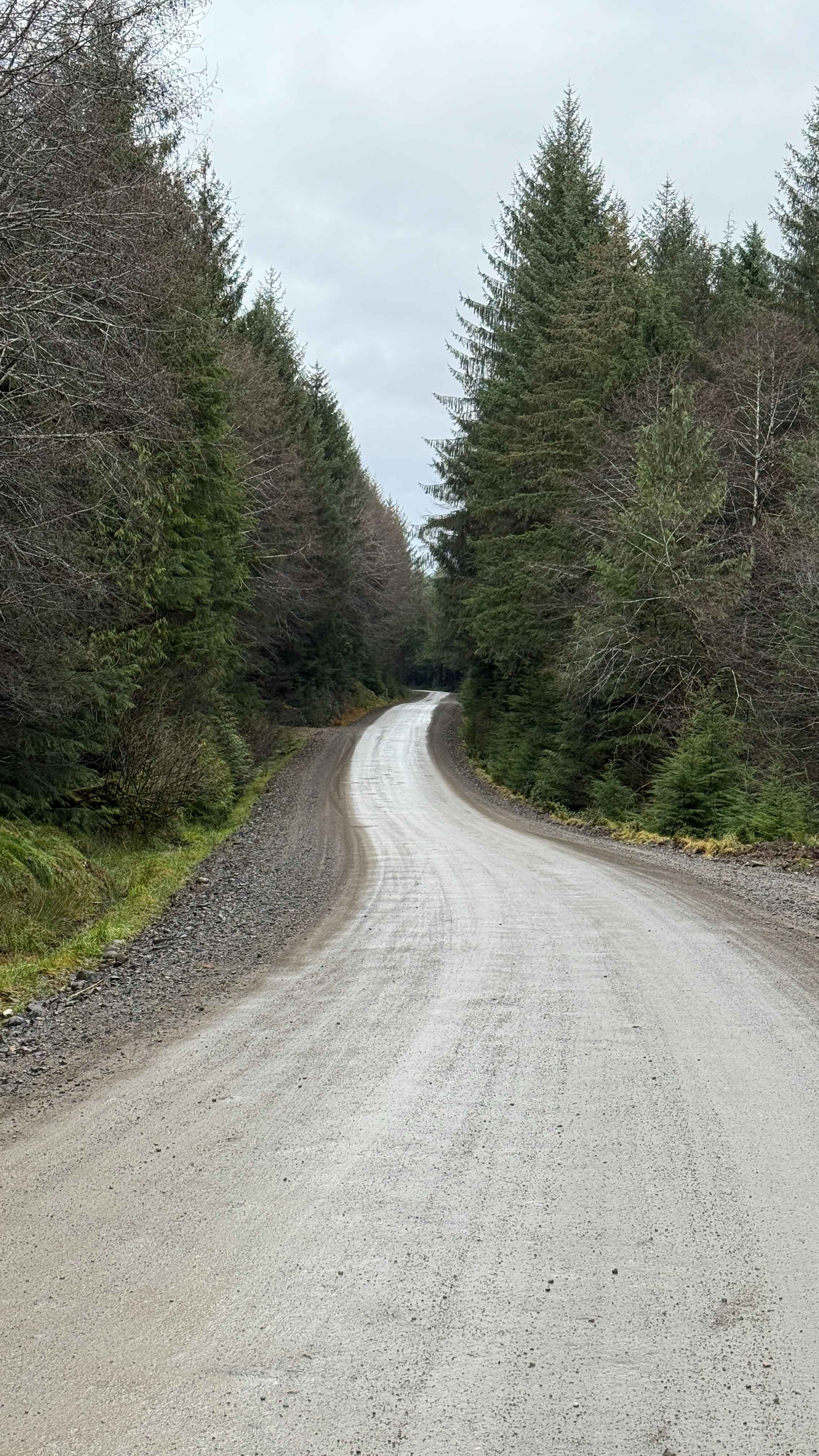
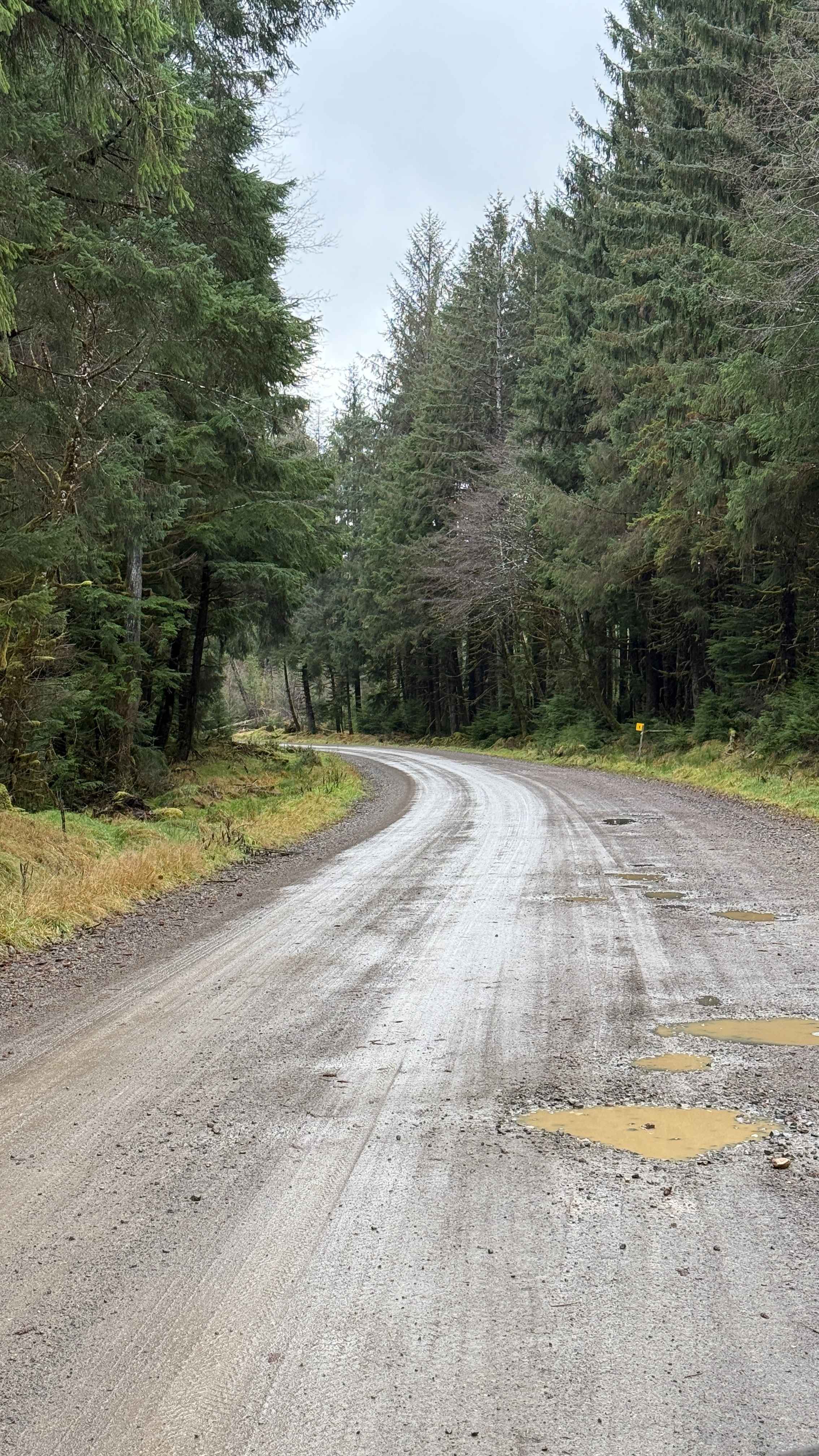
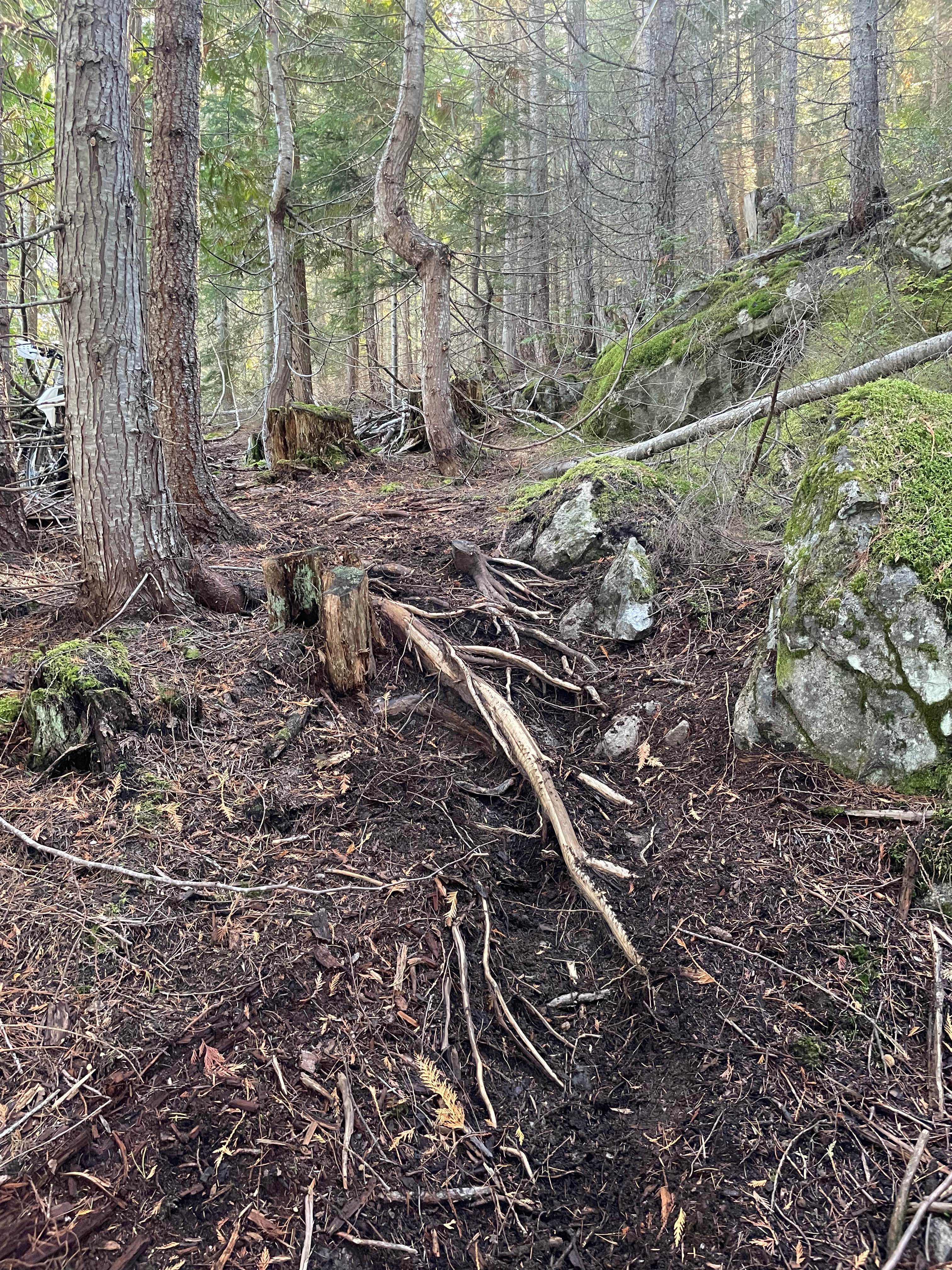
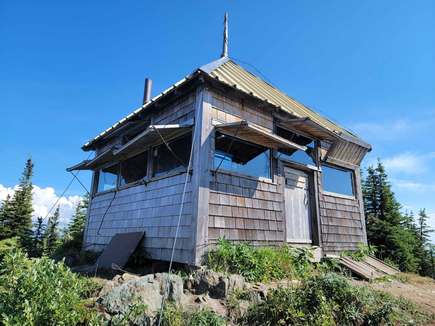
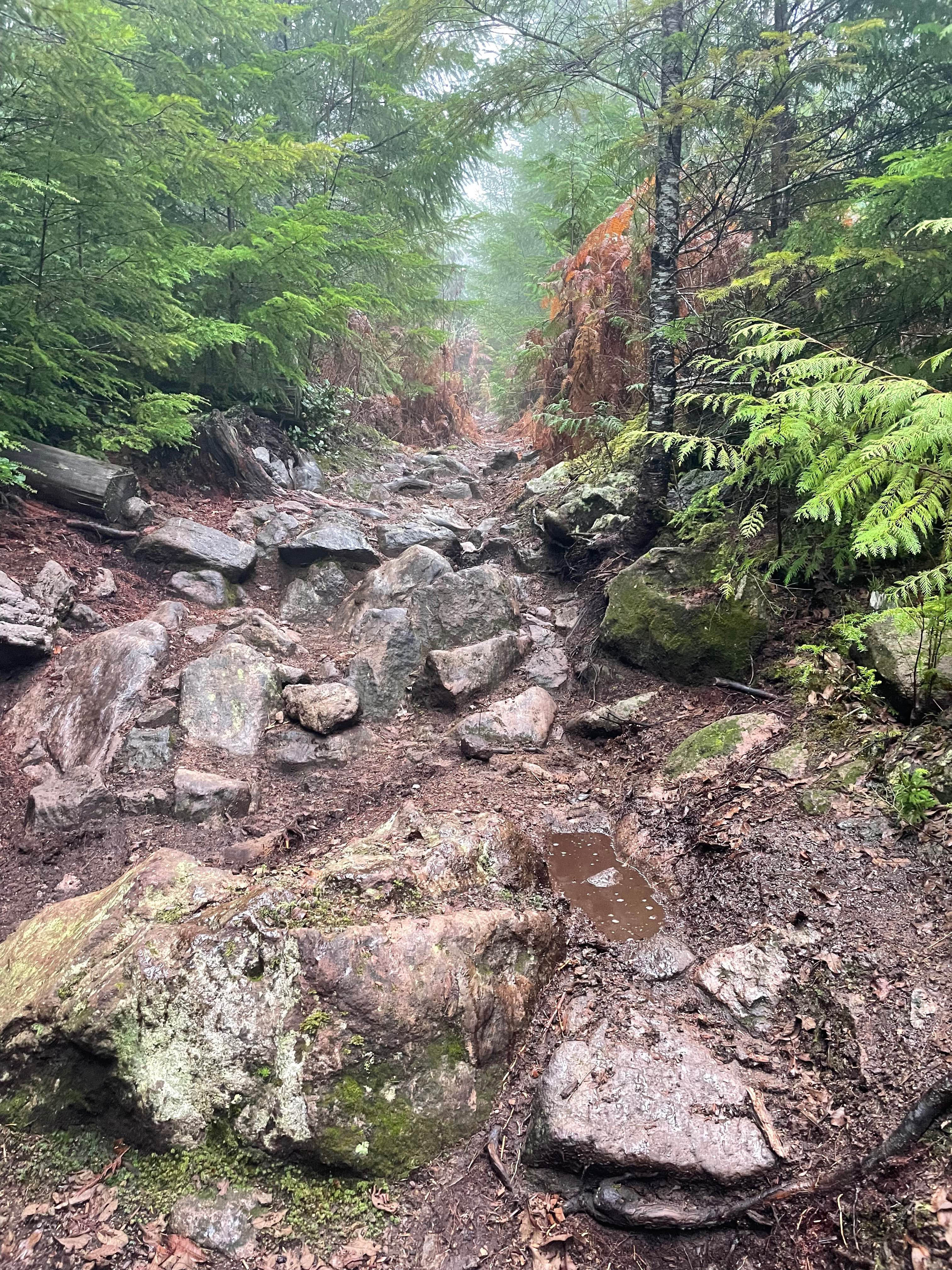
The Port Main Forest Service Road is a maintained section of gravel road connecting Daajing Giids to Port Clements. There are a number of interesting side spurs that trail off into the dark, mossy rainforest. Large Black Bears are common in this area. The road itself can be muddy with large potholes, but is otherwise fairly smooth. Just after a single lane bridge, there is an old shelter that makes for a unique spot for a photo.
Photos of Port Main Forest Service Road
Difficulty
This trail follows a well-maintained mainline road that remains easy to navigate. It is actively used by local industries such as logging, so awareness of traffic is important throughout the route.
Status Reports
Port Main Forest Service Road can be accessed by the following ride types:
- High-Clearance 4x4
- SUV
- SxS (60")
- ATV (50")
- Dirt Bike
Port Main Forest Service Road Map
Popular Trails
Institutionalized
Sheepy Crawly

The Undertaker
Cook Option
The onX Offroad Difference
onX Offroad combines trail photos, descriptions, difficulty ratings, width restrictions, seasonality, and more in a user-friendly interface. Available on all devices, with offline access and full compatibility with CarPlay and Android Auto. Discover what you’re missing today!