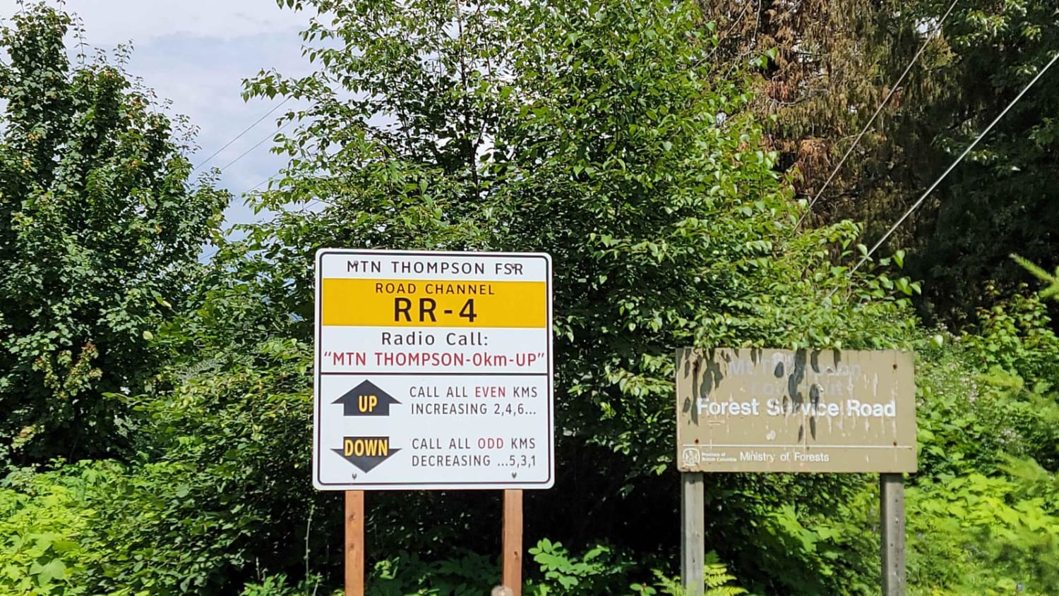
Mount Thompson
Total Kilometers
9.8
Technical Rating
Best Time
Summer, Fall, Spring
Trail Type
Full-Width Road
Accessible By
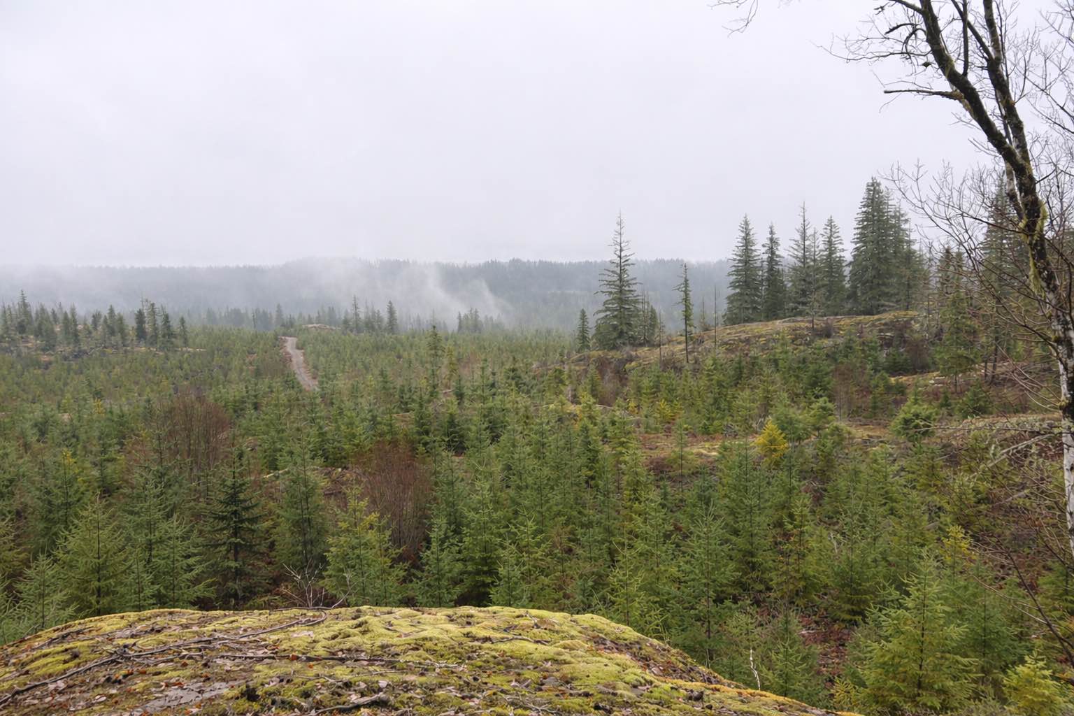
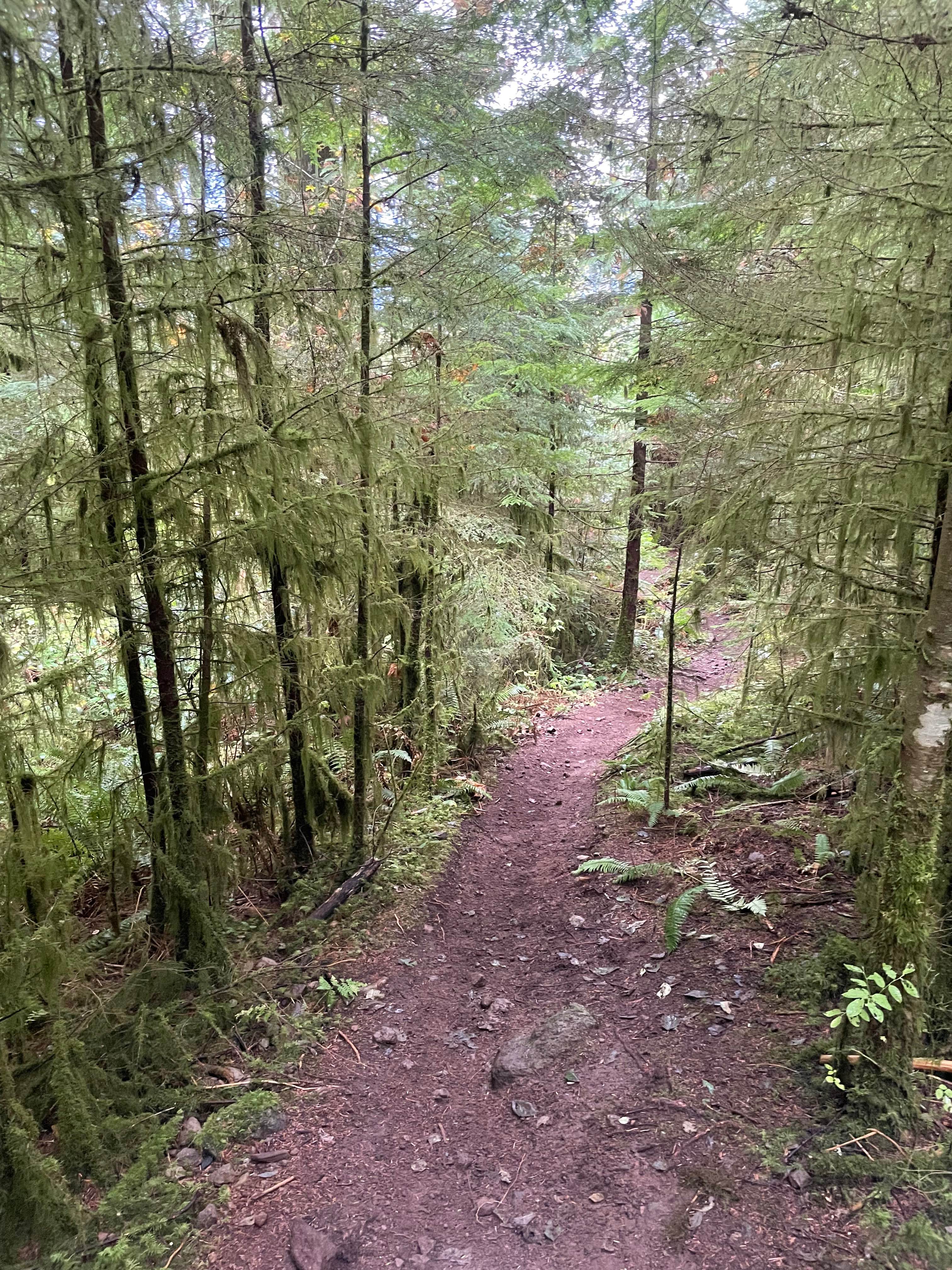
Trail Overview
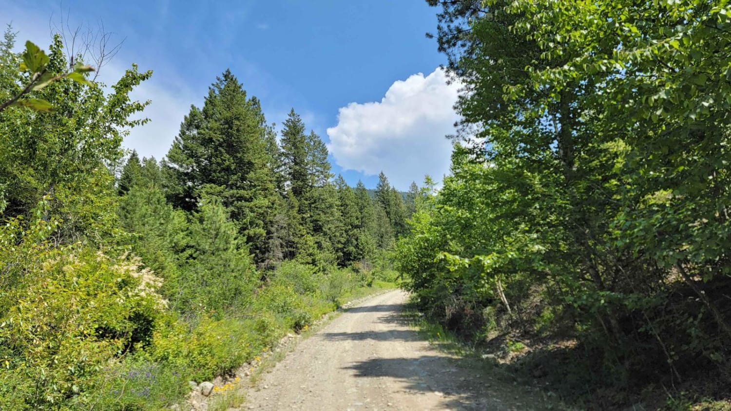
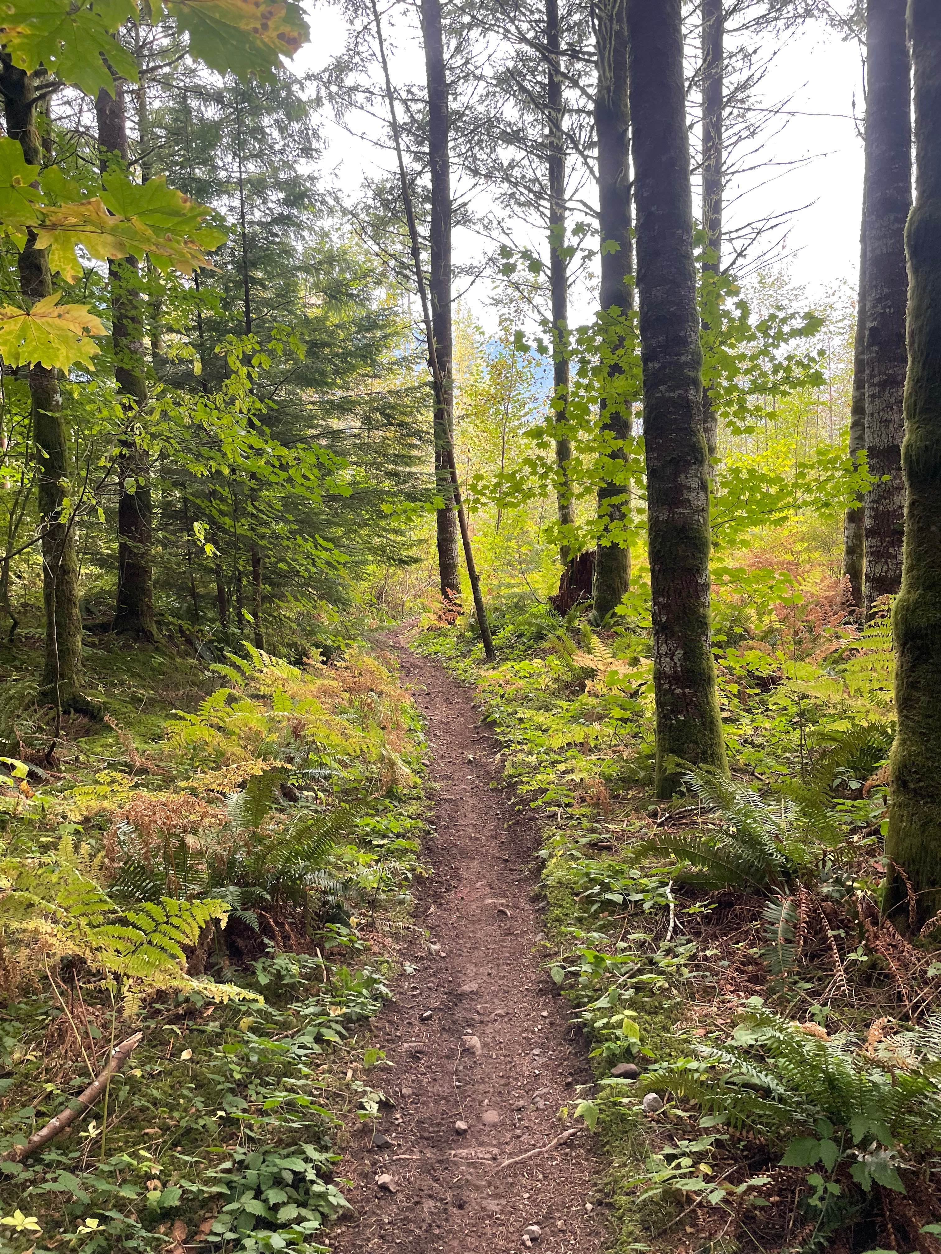
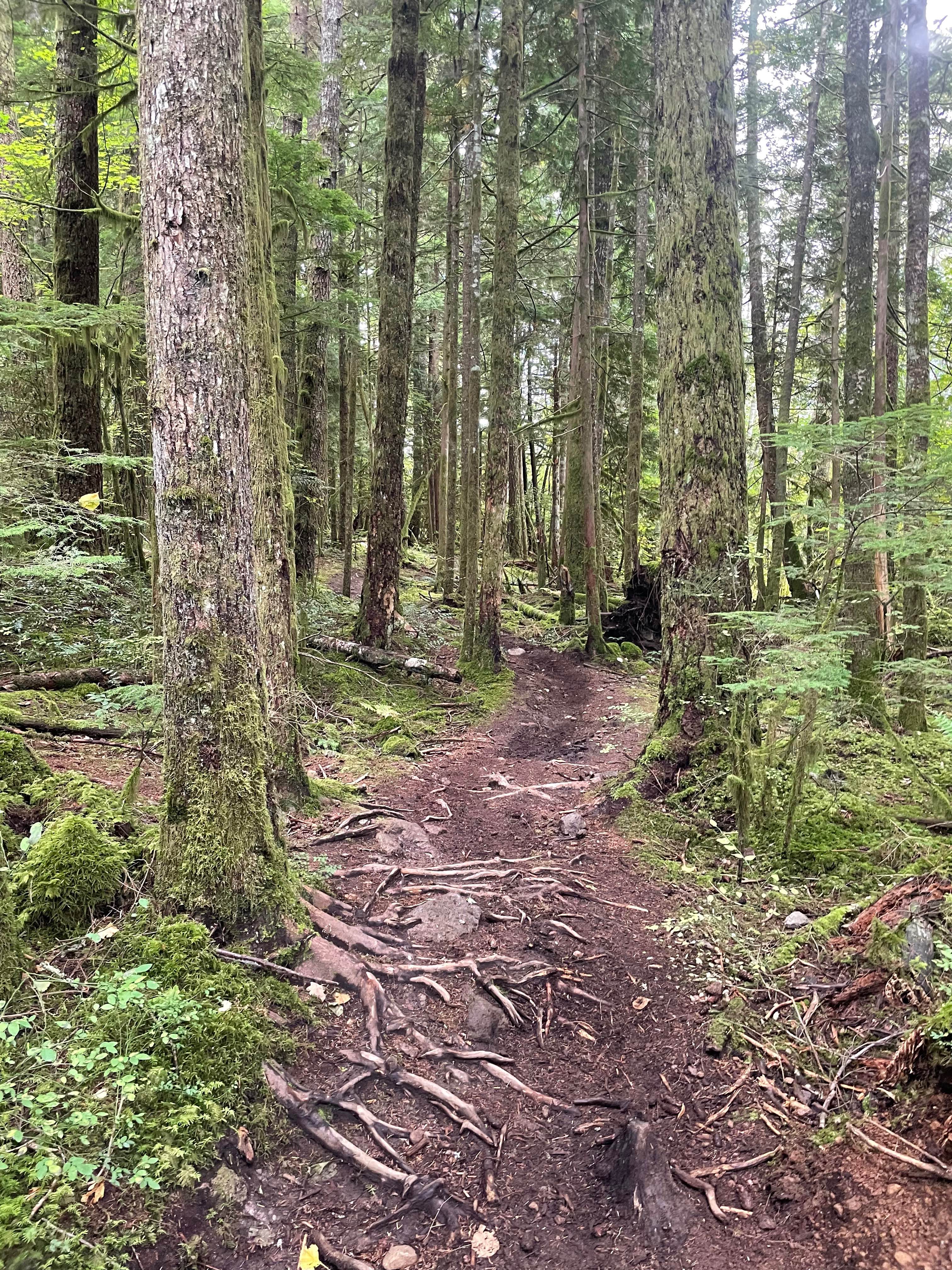
Starting on Mount Thompson FSR, you will begin to climb elevation immediately. The road is primarily dirt with a few loose gravel sections. Watch out for fallen rocks and expect lots of steep switchbacks. The overall elevation gain is approximately 4,500 ft over 6 miles. The view from the top is amazing, overlooking the whole Creston Valley.
Photos of Mount Thompson
Difficulty
There are some steep sections with fallen rocks.
Status Reports
Mount Thompson can be accessed by the following ride types:
- SUV
Mount Thompson Map
Popular Trails
Follow Your Nose - Even Flow Connector
Them Bones
Twister
The Climbs - Holiday Hill Connector
The onX Offroad Difference
onX Offroad combines trail photos, descriptions, difficulty ratings, width restrictions, seasonality, and more in a user-friendly interface. Available on all devices, with offline access and full compatibility with CarPlay and Android Auto. Discover what you’re missing today!