Monashee FSR/Yeoward Creek Road
Total Kilometers
13.6
Technical Rating
Best Time
Spring, Summer, Fall
Trail Type
Full-Width Road
Accessible By
Trail Overview
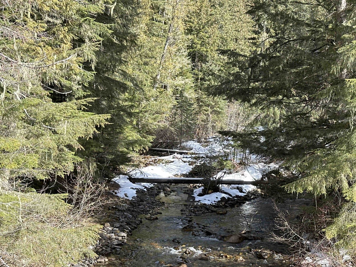
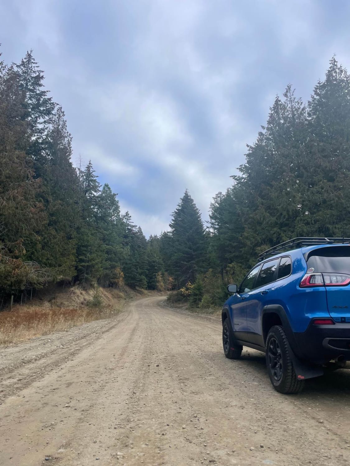
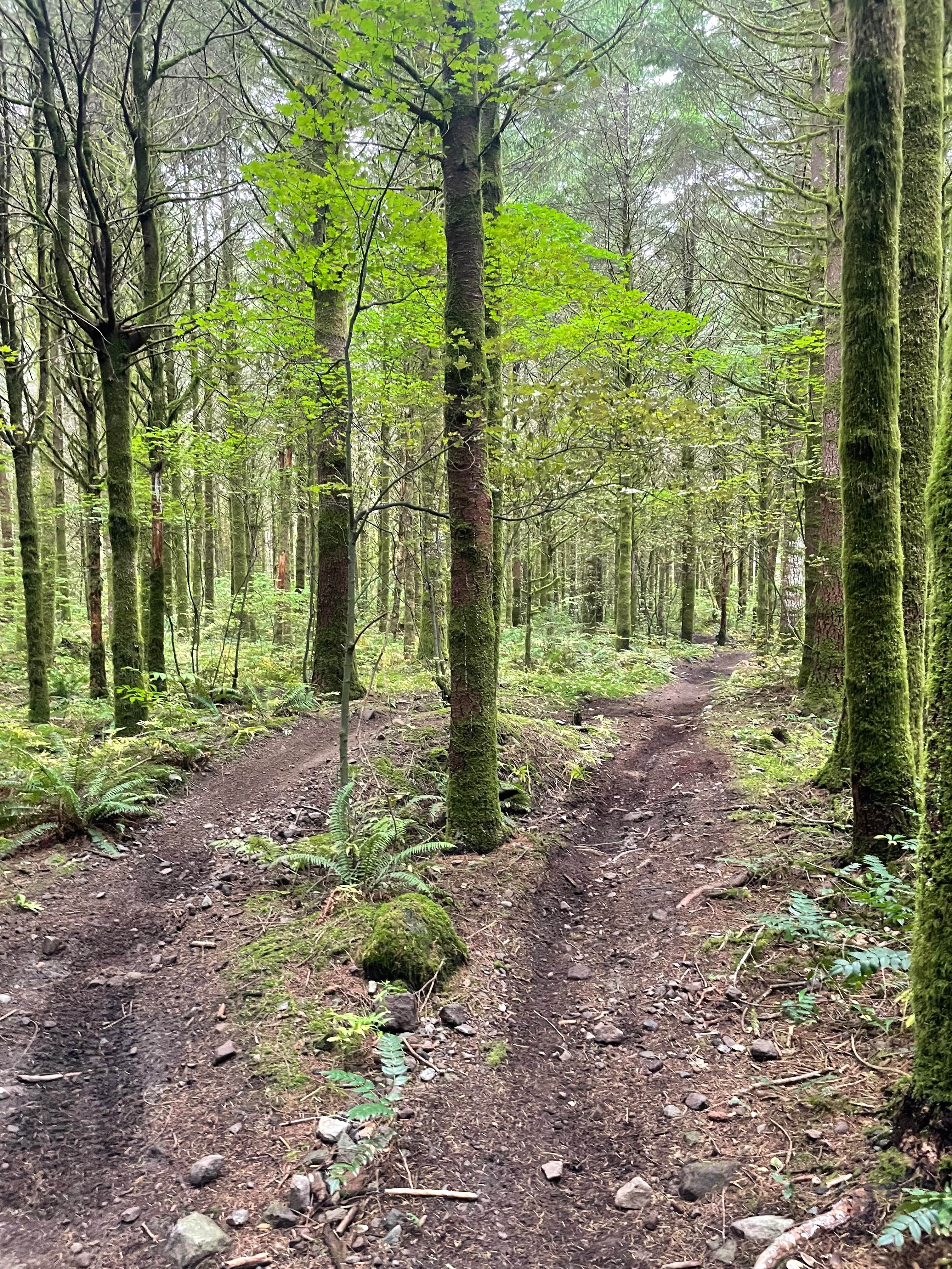
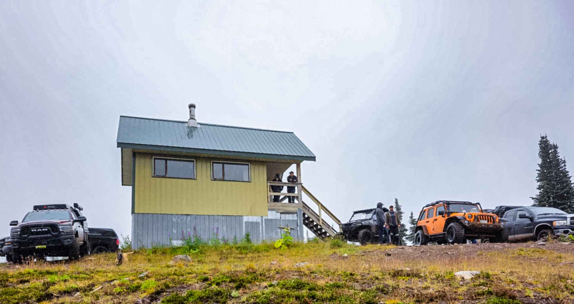
Please call out your kilometer on RR-30 frequency, as this is a very active logging area. Exploring east along South Fork, the road turns into Monashee. There is a bridge that crosses the creek and from that point on, there may be plenty of snow and mud depending on the tree cover or shade from the mountains around you. This area of British Columbia, the Monashee Mountains, is so beautiful with many places to explore.
Photos of Monashee FSR/Yeoward Creek Road

Difficulty
Due to the current conditions when mapping - Snow covered and 2-3" of mud with deep ruts, I have marked this as a 2. Probably in mid summer when dry it could be a 1
Status Reports
Monashee FSR/Yeoward Creek Road can be accessed by the following ride types:
- High-Clearance 4x4
- SUV
- SxS (60")
- ATV (50")
- Dirt Bike
Monashee FSR/Yeoward Creek Road Map
Popular Trails
Bata FSR - James Lake
Even Flow
The Microwave

The onX Offroad Difference
onX Offroad combines trail photos, descriptions, difficulty ratings, width restrictions, seasonality, and more in a user-friendly interface. Available on all devices, with offline access and full compatibility with CarPlay and Android Auto. Discover what you’re missing today!