Middle Strauss
Total Kilometers
4.0
Technical Rating
Best Time
Summer
Trail Type
Full-Width Road
Accessible By
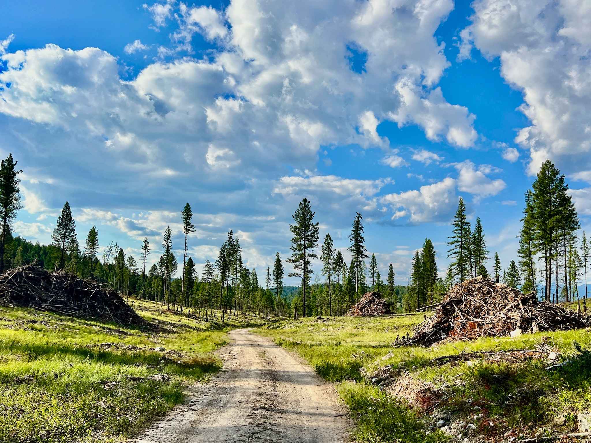
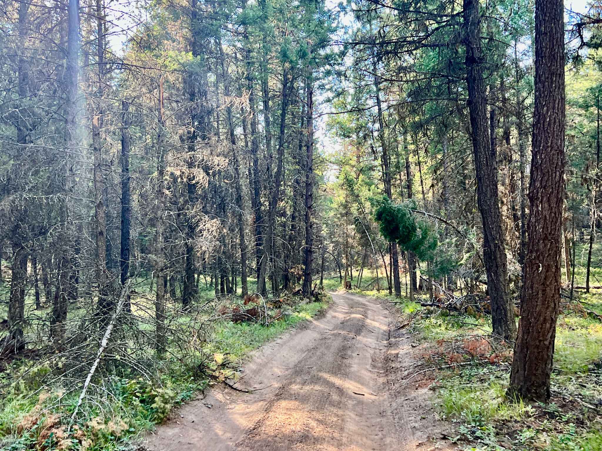
Trail Overview
This route cuts through the middle section of the Strauss recreation area, serving primarily as a connecting trail rather than providing beach campsites. The northern end of the trail is generally in good shape, offering a relatively smooth passage. However, as you proceed south, the trail becomes increasingly narrow and tight, particularly as it approaches the southern Strauss beach area. There is a strong possibility of encountering muddy sections and significant ruts, especially during the wet season. Evidence of past struggles, such as abandoned recovery gear and ramp-building materials, suggests that vehicles have gotten seriously stuck on this trail when conditions were very wet. Exercise extreme caution in the early spring or after heavy rains. Be prepared to encounter and potentially clear downed trees along the route. You might pick up one bar of Verizon service, but with very little data, making offline maps essential.
Photos of Middle Strauss
Difficulty
A capable 4x4 vehicle with good ground clearance is strongly recommended. Prepare for self-recovery or travel with another vehicle, especially during wet conditions. The trail transitions from good condition to narrow, tight, muddy, and rutted. Be particularly cautious in early spring or after rain. Be prepared to clear fallen trees from the path.
History
A Glimpse into the Past: The Middle Strauss route, nestled within the Koocanusa Recreation Management Area, runs through terrain that was profoundly affected by the creation of Lake Koocanusa. This land, part of the traditional territory of the Ktunaxa people, saw its landscape dramatically altered by the Libby Dam project in the late 1960s and early 1970s. While not directly on the lake's edge, these connecting trails often served historical purposes, such as logging or resource access, before becoming part of the recreational network, linking various points along the re-shaped shoreline. The KRMA was established to manage and enhance recreational opportunities in the Lake Koocanusa area while protecting natural resources. The KRMA encompasses a large area of Crown land and offers a wide range of recreational activities, including camping, hiking, boating, fishing, and off-roading. The KRMA is managed by the British Columbia Ministry of Forests, Lands, Natural Resource Operations, and Rural Development. It is important to check their website for any closures or restrictions.
Status Reports
Middle Strauss can be accessed by the following ride types:
- High-Clearance 4x4
- SUV
- SxS (60")
- ATV (50")
- Dirt Bike
Middle Strauss Map
Popular Trails

Telkwa Pass - Terrace to Top Lake
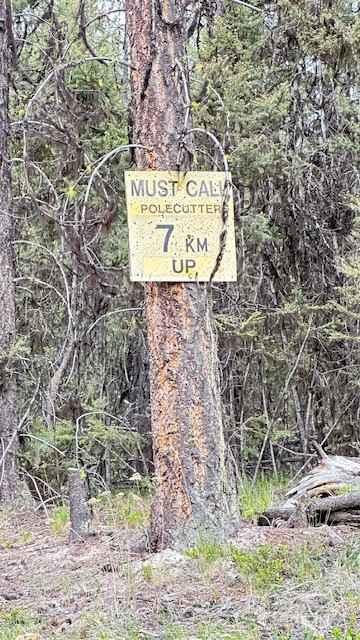
Pole Cutter FSR

Alex Graham-Palmer Lake FSR (Raven Lake)
Dead End
The onX Offroad Difference
onX Offroad combines trail photos, descriptions, difficulty ratings, width restrictions, seasonality, and more in a user-friendly interface. Available on all devices, with offline access and full compatibility with CarPlay and Android Auto. Discover what you’re missing today!