McDonald Creek
Total Kilometers
14.8
Technical Rating
Best Time
Summer
Trail Type
High-Clearance 4x4 Trail
Accessible By
Trail Overview
McDonald Creek Main Forest Service Road is a moderately used route which takes you high into the Purcell Mountains west of Radium Hot Springs near Red Line Mountain and the Red Line Mine. The route is rocky, steep, and off-camber, with water across the route at times. There are other recreational trails that branch off from the main route. The views are astounding and there can be snow, ice, and new obstacles introduced by rockfalls or erosion. Sections have brush along the route which will pin stripe your vehicle. There are no toilets or amenities of any kind on this route. There are deer, elk, and bears in the area so be judicious about your food storage. There are no designated campsites, though there are remnants of old cabins and mining equipment along the route. The route terminates just before the crest of the ridge, and the Red Line Mine is visible to the west at the nine-mile mark with a parking area and hiking trail to the opening. Be sure and pack out your garbage but leave the historical artifacts in place for others to enjoy.
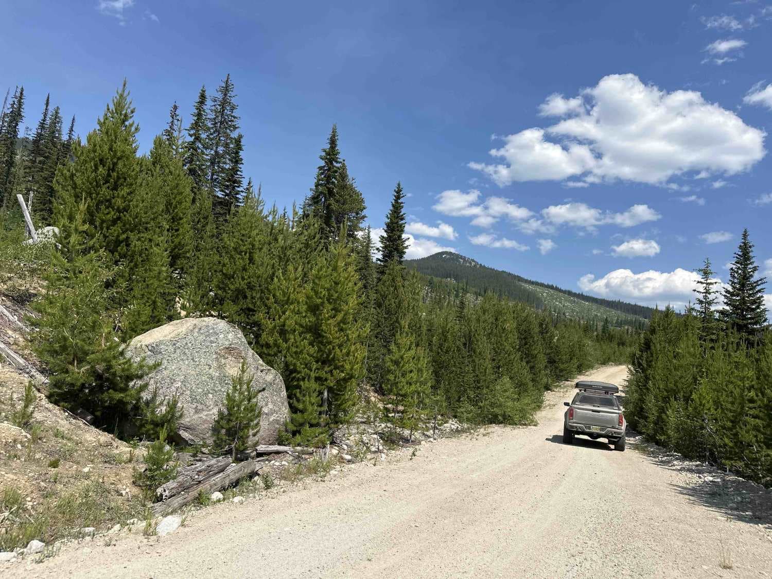
Photos of McDonald Creek
Difficulty
This trail is steep, off-camber with loose rocks. Sections of the route are rock garden and others will change frequently due to erosion. Having a good spotter is required.
Status Reports
McDonald Creek can be accessed by the following ride types:
- High-Clearance 4x4
- SxS (60")
- ATV (50")
- Dirt Bike
McDonald Creek Map
Popular Trails

Monica Meadows
Sleepy Hallow Alternative
Proctor Lake Rd
Boulder FSR
The onX Offroad Difference
onX Offroad combines trail photos, descriptions, difficulty ratings, width restrictions, seasonality, and more in a user-friendly interface. Available on all devices, with offline access and full compatibility with CarPlay and Android Auto. Discover what you’re missing today!