Hecht Wildflower Ridge Spur
Total Kilometers
2.0
Technical Rating
Best Time
Fall, Summer, Spring
Trail Type
Full-Width Road
Accessible By
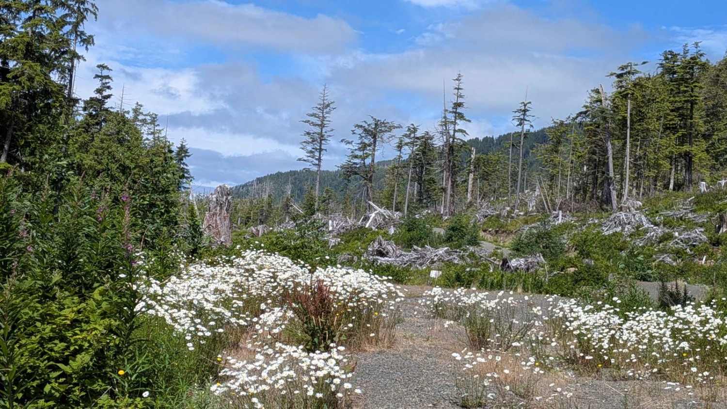
Trail Overview
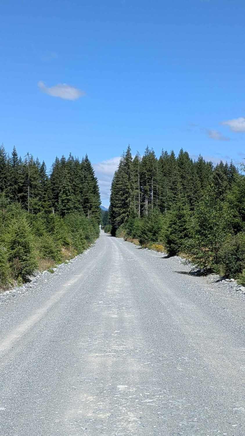
This 4 kilometer (2.5 mile) out-and-back spur trail branches off Hecht Beach Main, offering a surprisingly serene and scenic detour. The single-vehicle width crushed gravel trail starts by weaving through a picturesque tunnel of trees, where the path is flanked by vibrant wildflowers, which are especially colorful in late spring and early summer. As the trail transitions into a clear-cut area, you're rewarded with partial ocean views through the remaining dense tree line. Despite its logging history, the setting feels peaceful and naturally reclaimed, with a few flat clearings ideal for dispersed camping. The trail is relatively smooth, with no major potholes, though a couple of tight, overgrown sections may leave light pin striping on wider vehicles. The area features a network of old logging spurs, many of which are accessible but may be mildly overgrown. Signs of bear activity have been noted here, so proper precautions are recommended when camping.
Photos of Hecht Wildflower Ridge Spur

Difficulty
This trail is approachable for most stock 4WDs or AWDs. It's smooth and well-graded, with the only minor challenges being some overgrowth and tight squeezes that may brush against wider vehicles. There are no steep climbs or technical obstacles.
History
Clear-cut logging near Hecht Beach in British Columbia is part of a larger history of logging in the province, which has seen significant expansion since the 1800s, particularly along the coast. While specific details about the extent of clear-cutting near Hecht Beach are not available in the provided context, the general history of logging in the area and the impacts of clear-cutting on old-growth forests can be discussed.
Status Reports
Hecht Wildflower Ridge Spur can be accessed by the following ride types:
- High-Clearance 4x4
- SUV
- SxS (60")
- Dirt Bike
Hecht Wildflower Ridge Spur Map
Popular Trails
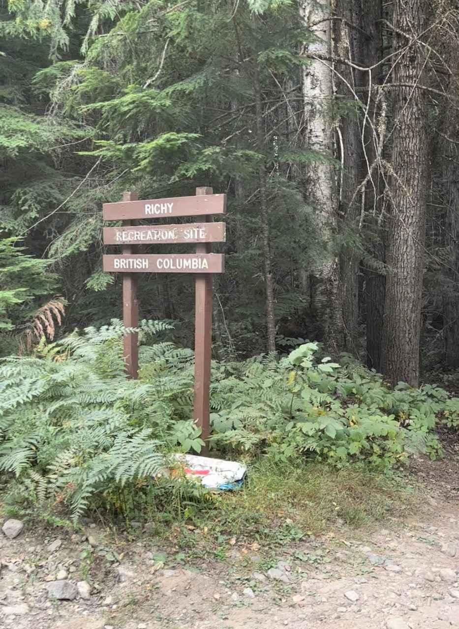
Whatshan FSR to Ritchy Rec Site
Dasque Road
Kidd Creek To Lumberton
Nimpkish Main South
The onX Offroad Difference
onX Offroad combines trail photos, descriptions, difficulty ratings, width restrictions, seasonality, and more in a user-friendly interface. Available on all devices, with offline access and full compatibility with CarPlay and Android Auto. Discover what you’re missing today!