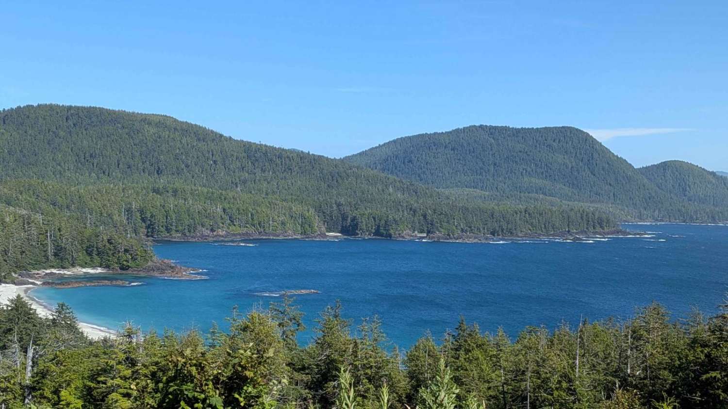
Grant Bay
Total Kilometers
13.4
Technical Rating
Best Time
Fall, Summer, Spring
Trail Type
Full-Width Road
Accessible By
Trail Overview
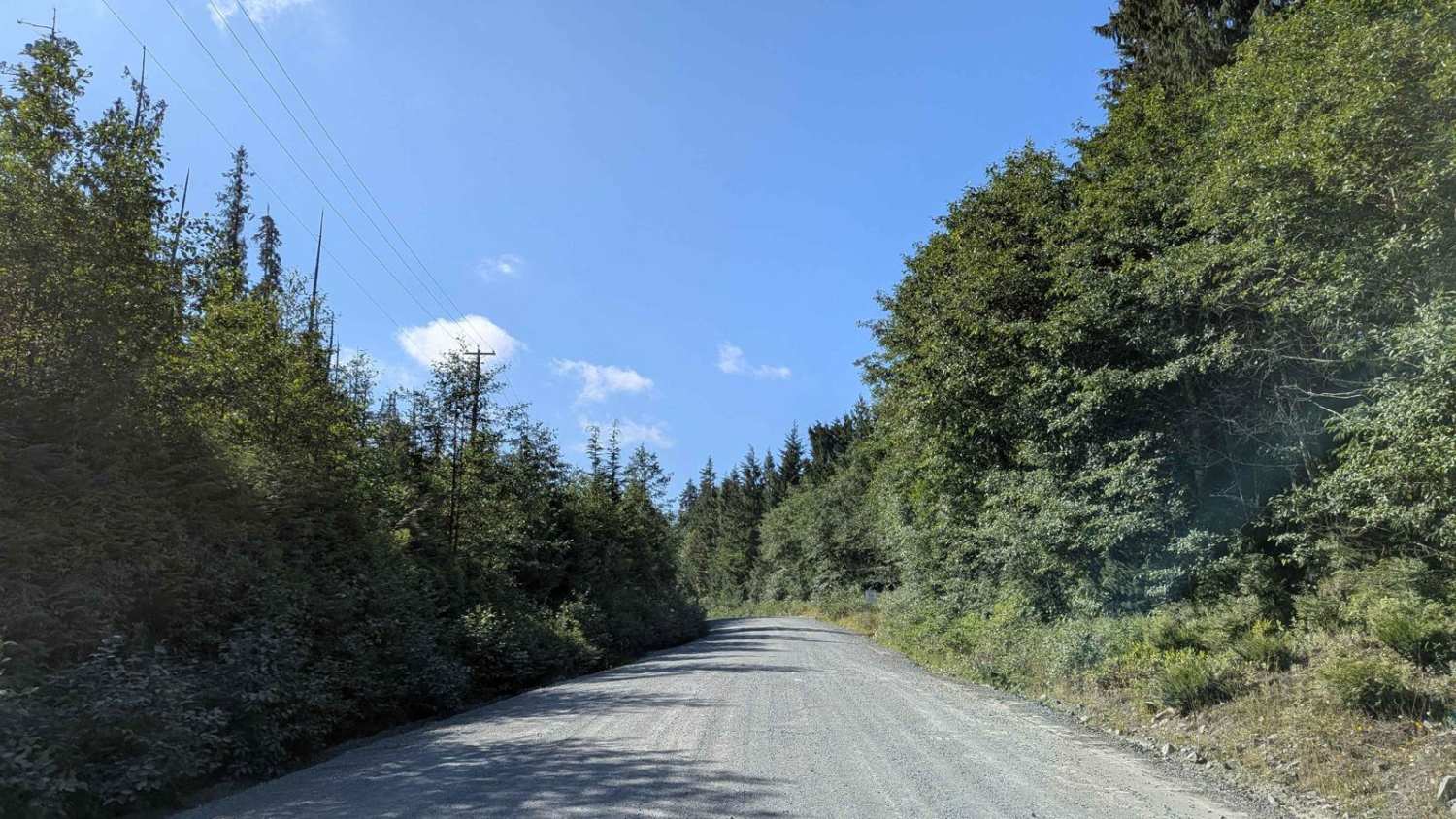
This route provides direct access from Winter Harbor Main to Grant Bay, ending at a stunning, remote beach that's part of the Grant Bay Recreation Site. While commonly referred to as a campground, there are no formal facilities, just open beach walk-in only camping, which makes Leave No Trace practices essential. The trail surface consists of dirt and gravel, becoming increasingly narrow and overgrown as you get closer to the bay. Potholes are frequent, and the road can be very dusty, especially in dry weather or during periods of higher traffic. The trail is lined with lush coastal forest, thick with salal bushes and tall evergreens. This dense vegetation creates a beautiful, enclosed feel but also reduces visibility. Wildlife is abundant in the area - black bears, cougars, wolves, and deer are all common. Drive cautiously and keep speeds low to protect both animals and fellow travelers. The final approach to the bay requires care, especially for wider vehicles, due to the narrower track and occasional brush encroachment.
Photos of Grant Bay
Difficulty
This is a low-difficulty trail suitable for most stock 4x4 vehicles. Drivers should be mindful of potholes, dust, and wildlife, but there are no technical obstacles. The trail is narrow, so slow down when passing by other vehicles, especially when dust gets kicked up.
History
Grant Bay, located on the northwest coast of Vancouver Island, has a history intertwined with First Nations presence, early settlers, and the beauty of its remote, sandy beach. Trails used by First Nations people connected the peninsula between Browning Inlet and Grant Bay, and these trails were later adopted by settlers. While there's evidence of shelter shacks and recreational visits, no permanent settlement took hold in Grant Bay.
Status Reports
Grant Bay can be accessed by the following ride types:
- High-Clearance 4x4
- SUV
- SxS (60")
- Dirt Bike
Grant Bay Map
Popular Trails

Meandering McCulloch Road
Mount Baker
Mount Fisher / Mause Creek
The onX Offroad Difference
onX Offroad combines trail photos, descriptions, difficulty ratings, width restrictions, seasonality, and more in a user-friendly interface. Available on all devices, with offline access and full compatibility with CarPlay and Android Auto. Discover what you’re missing today!