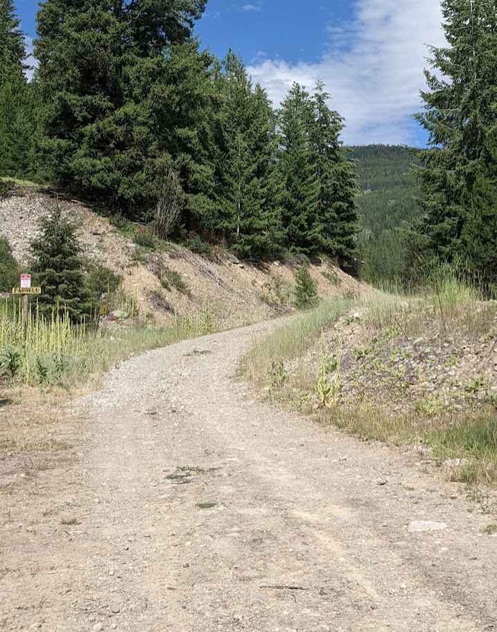
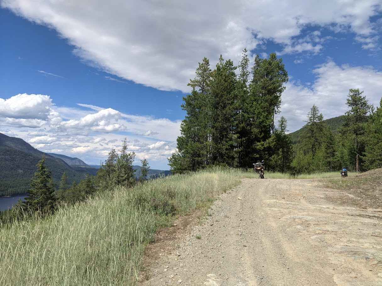
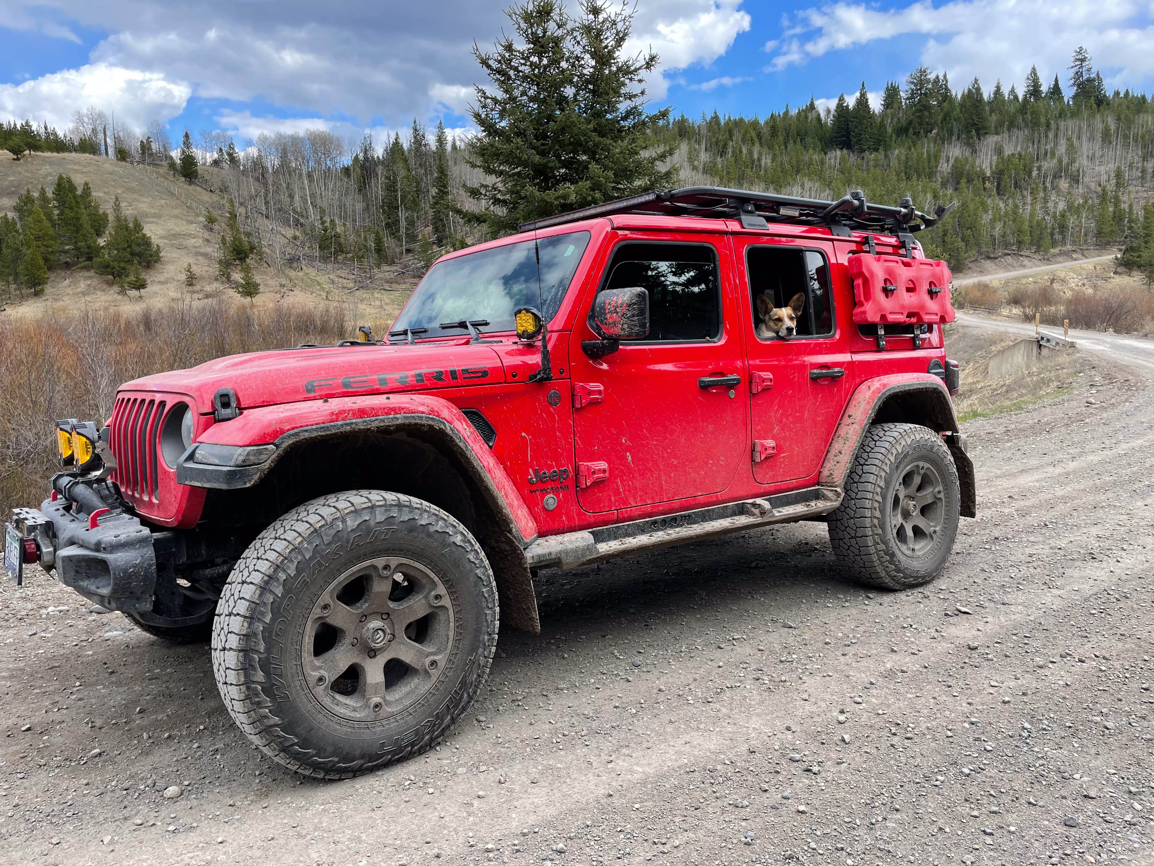
Ferrell Trail
Total Kilometers
13.5
Technical Rating
Best Time
Summer, Fall
Trail Type
Full-Width Road
Accessible By
Trail Overview
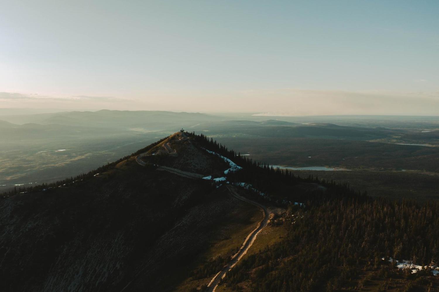
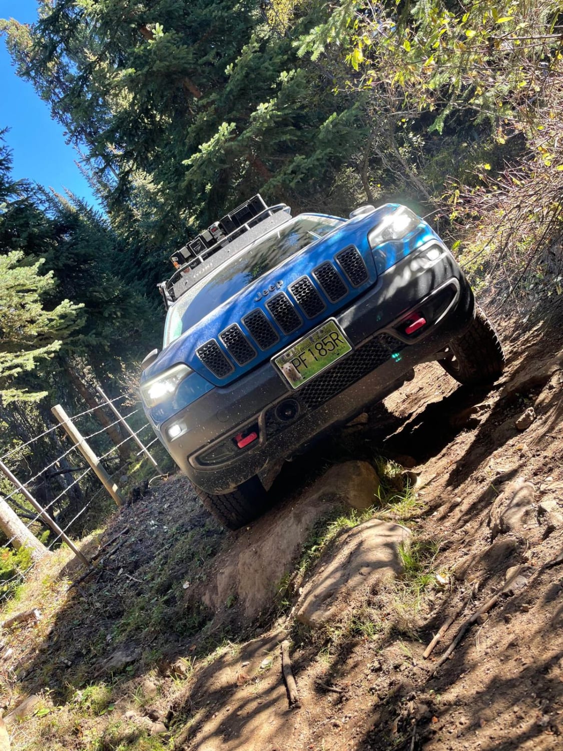
Ferrell Trail, also known as Ferrell Creek Road, is a constant climbing trail going up to a telecommunication tower at the summit of the McGillivray Range. This is a hard-packed and rocky trail with multiple switchbacks. All bridges are concrete and the trail features many great views of the Moyie Valley and the lake. There are some shallow washouts with loose rocks; therefore, 4WD is recommended.
Photos of Ferrell Trail
Difficulty
The trail features uneven terrain with loose rocks and long, steep grades. It is one vehicle wide with occasional pullouts for passing.
Status Reports
Ferrell Trail can be accessed by the following ride types:
- High-Clearance 4x4
- SUV
- Dirt Bike
Ferrell Trail Map
Popular Trails
Sawmill Lake to Douglas Lake Ranch
Barry's Hill
Jesmond Fire Lookout
Tight Short Cut
The onX Offroad Difference
onX Offroad combines trail photos, descriptions, difficulty ratings, width restrictions, seasonality, and more in a user-friendly interface. Available on all devices, with offline access and full compatibility with CarPlay and Android Auto. Discover what you’re missing today!