Ferrell East Access
Total Kilometers
4.6
Technical Rating
Best Time
Summer, Fall
Trail Type
Full-Width Road
Accessible By
Trail Overview
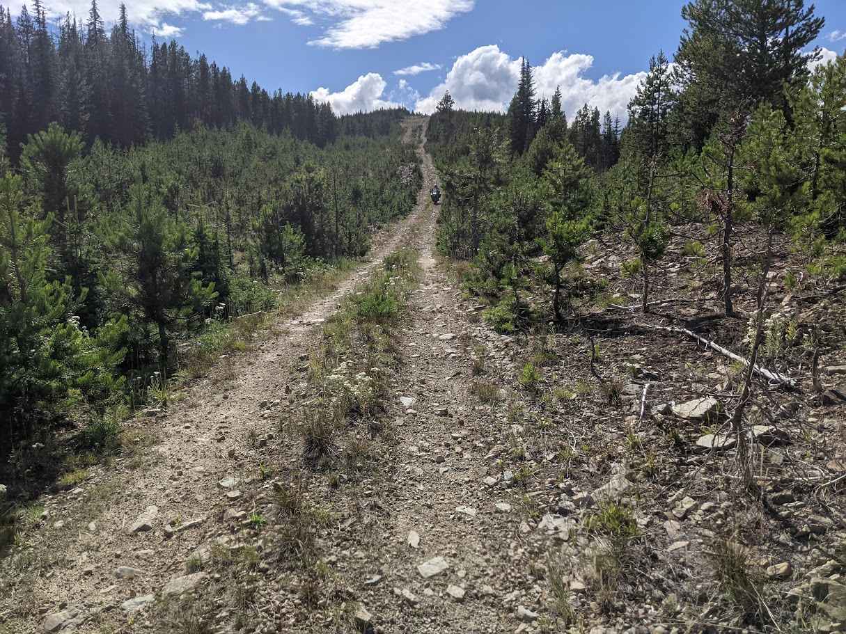
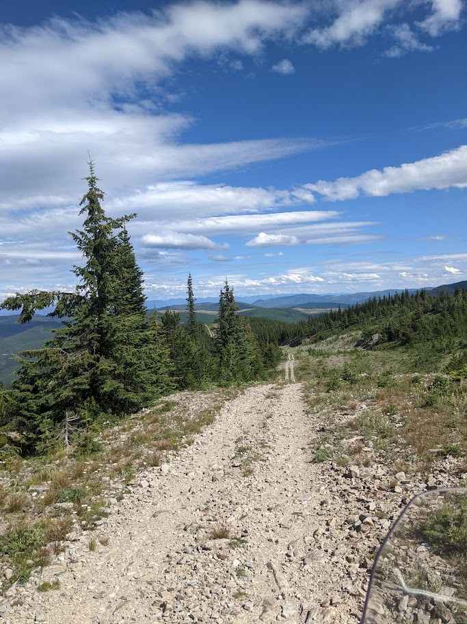
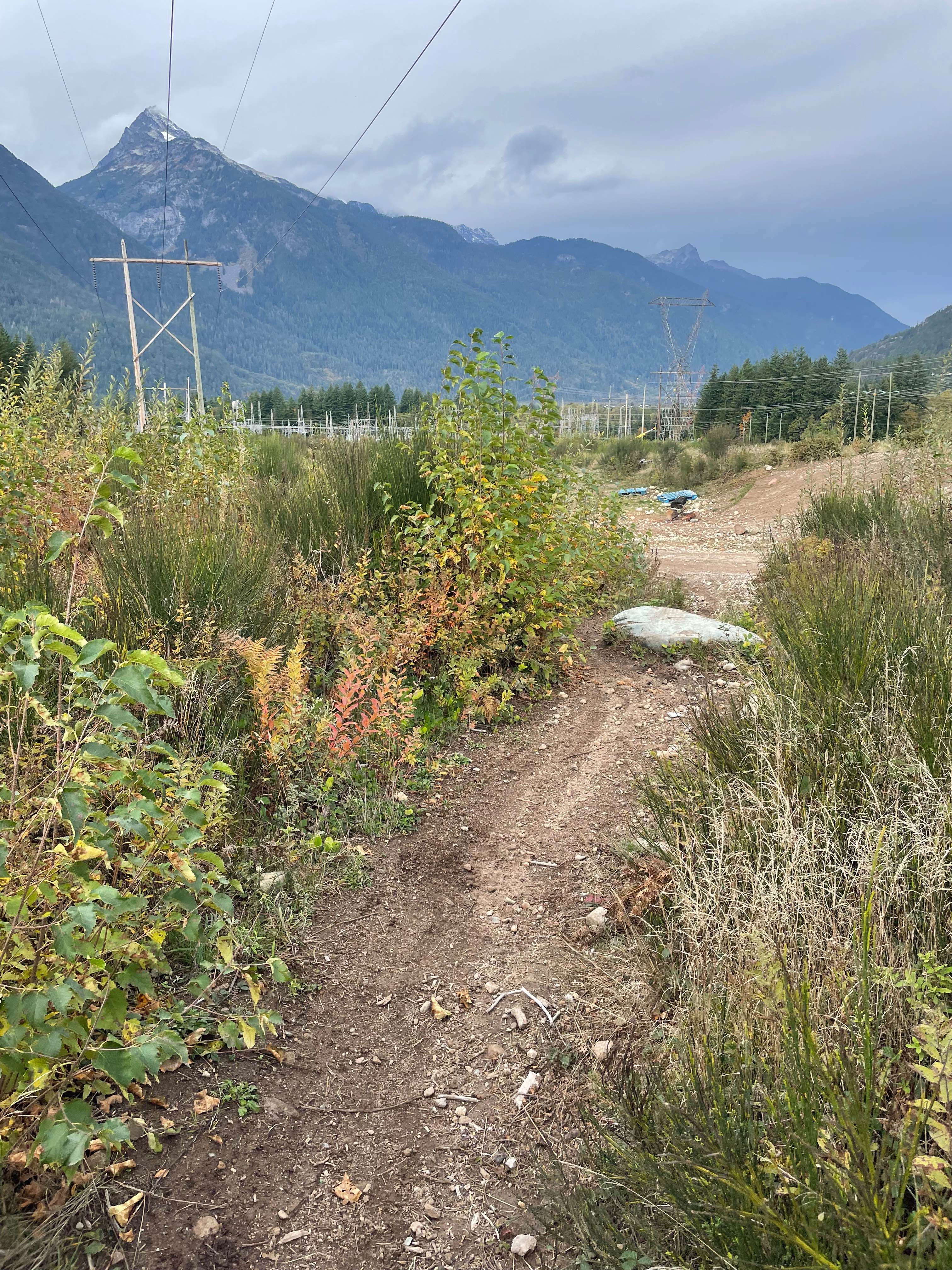
This trail provides access to the telecommunication tower at the McGillivray Range Summit from the east. It includes a one-lane, 1.3 kilometer section that transitions from a moderate to steep grade, with loose, jagged rocks ranging from orange to melon size and limited passing opportunities -- use caution, especially in wet conditions.
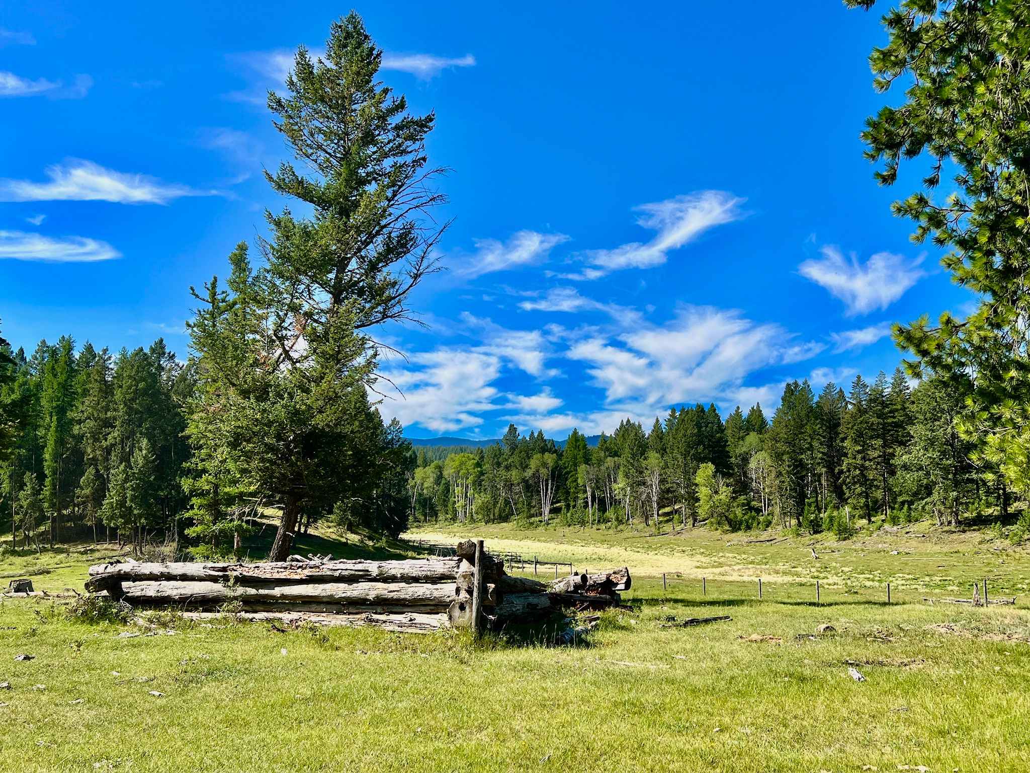
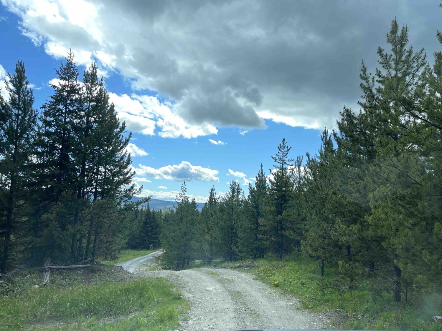
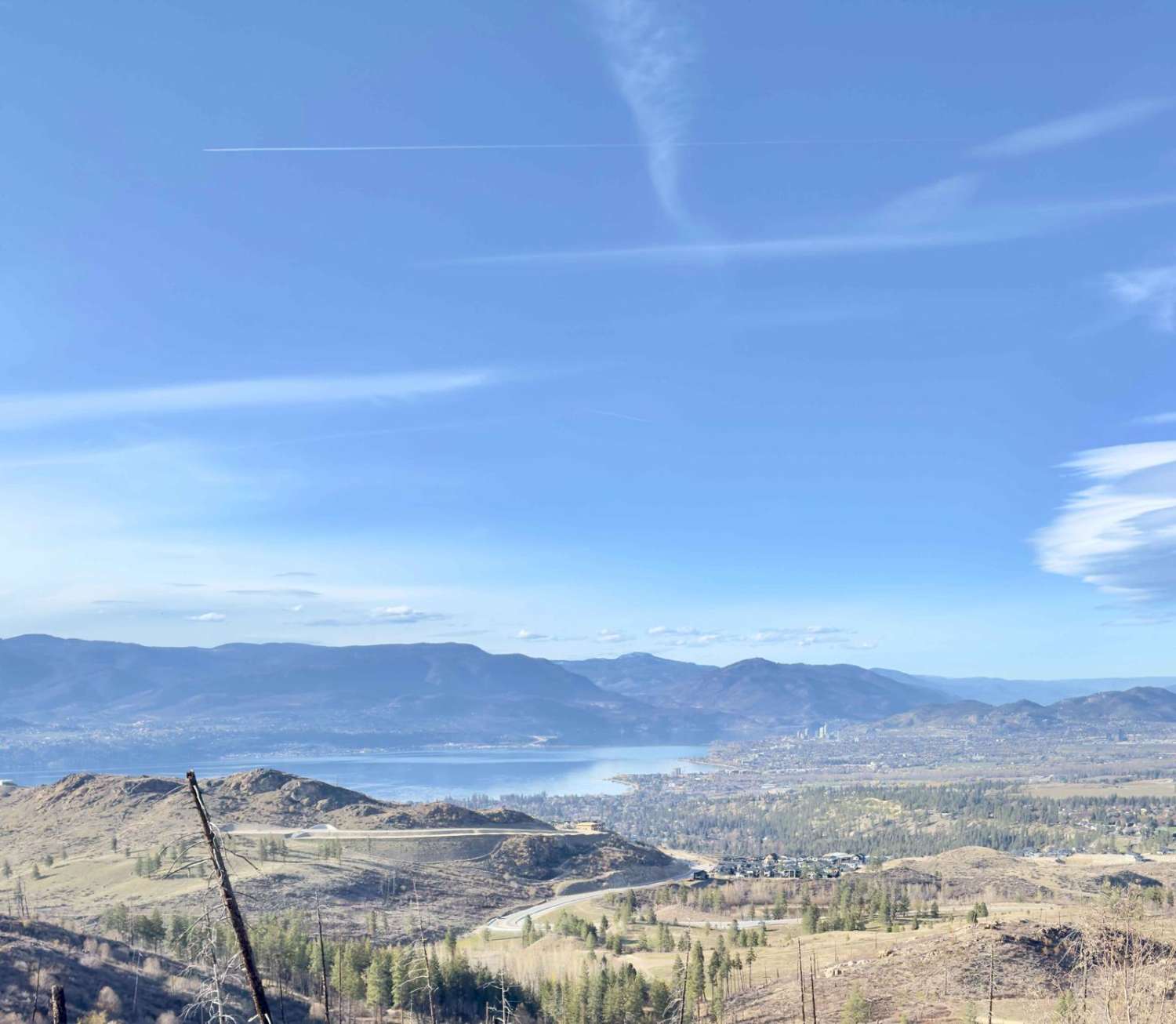
Photos of Ferrell East Access
Difficulty
This trail features a 1.3-kilometer steep section with a 30deg grade and a 200-meter sidehill, where loose rocks and occasional washes can make traction difficult.
Status Reports
Ferrell East Access can be accessed by the following ride types:
- High-Clearance 4x4
- SUV
- SxS (60")
- ATV (50")
- Dirt Bike
Ferrell East Access Map
Popular Trails
Bob Lake
Rob's Rip Cut Out West
Gillard FSR to Kettle Valley Railway Trail Junction
The onX Offroad Difference
onX Offroad combines trail photos, descriptions, difficulty ratings, width restrictions, seasonality, and more in a user-friendly interface. Available on all devices, with offline access and full compatibility with CarPlay and Android Auto. Discover what you’re missing today!