Bluenose FSR
Total Kilometers
4.1
Technical Rating
Best Time
Spring, Summer, Fall, Winter
Trail Type
Full-Width Road
Accessible By
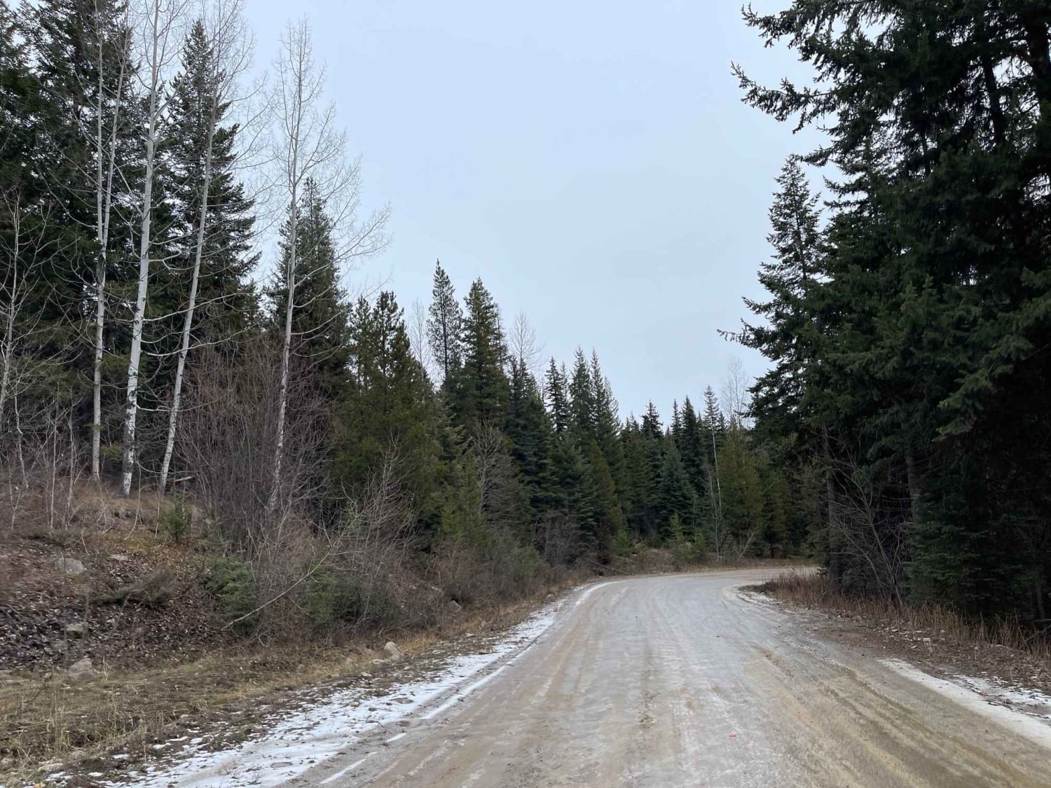
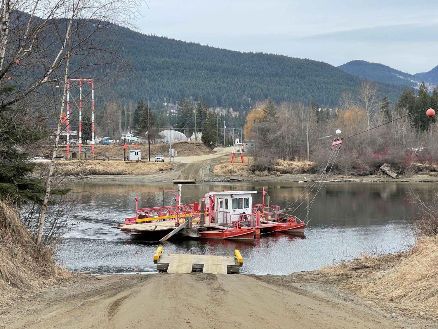
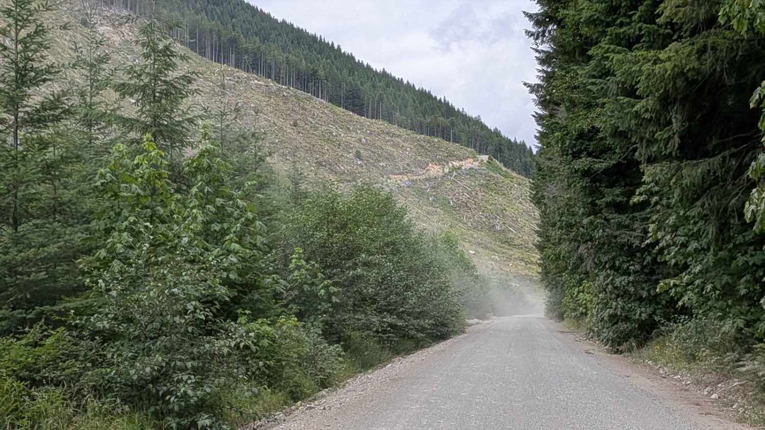
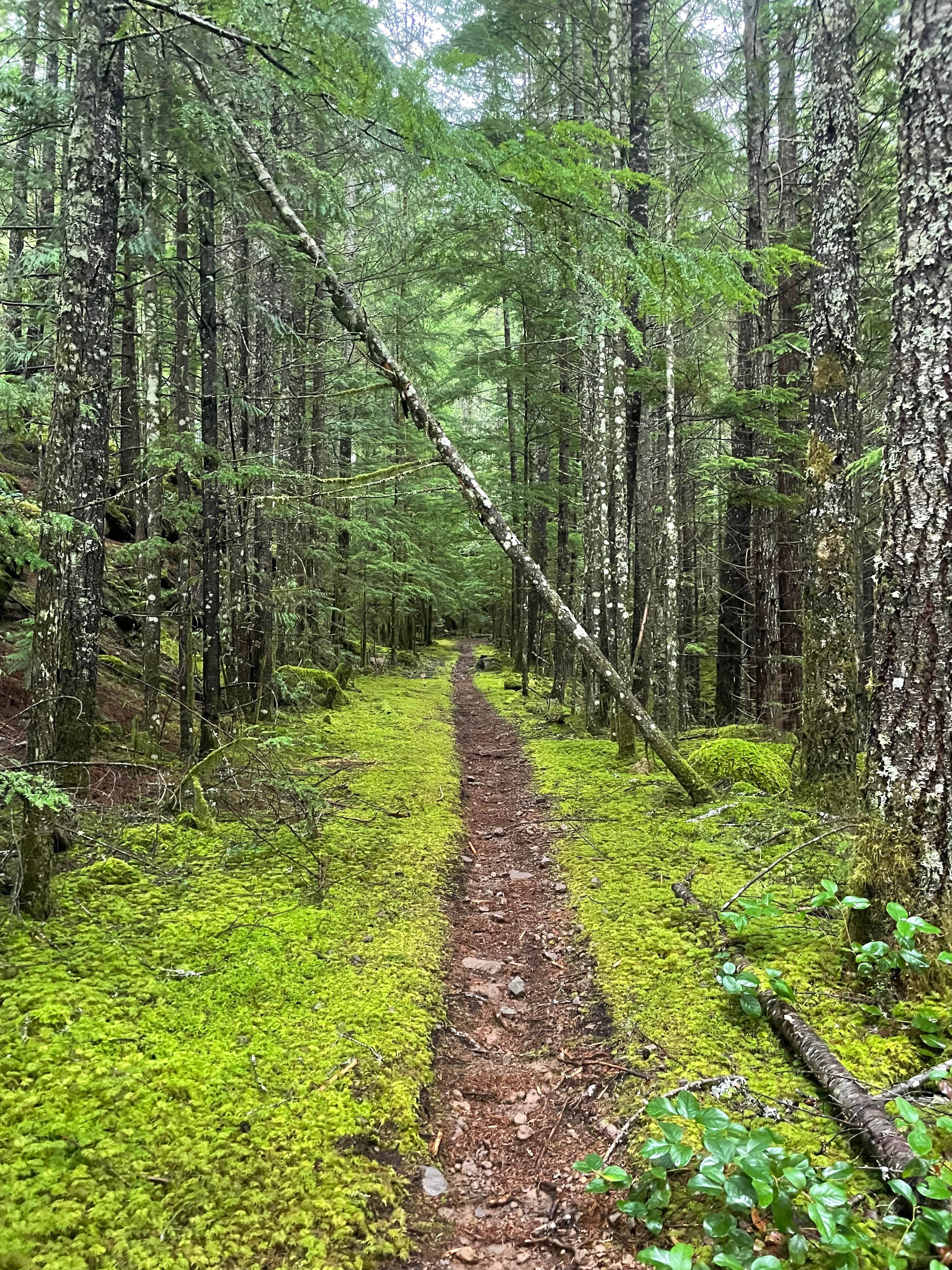
Trail Overview
Bluenose FSR is the start of the gravel road heading up to numerous lakes and spur roads, trails, and connecting FSR routes throughout the region. It provides access to a lot of hiking trails and stocked lakes with rainbow trout. Overall the road is well maintained as it is the starting point from the municipality road. It can get slippery in colder snowing conditions, so drive with caution.
Photos of Bluenose FSR

Difficulty
Road is pretty well maintained but has some deep pot holes and some washboards along the route however it is manageable with a car, suv or truck.
Status Reports
Bluenose FSR can be accessed by the following ride types:
- High-Clearance 4x4
- SUV
- SxS (60")
- ATV (50")
- Dirt Bike
Bluenose FSR Map
Popular Trails
Dunn Lake Road

Hale Creek (Easy Way)
Gordon River Road North
The onX Offroad Difference
onX Offroad combines trail photos, descriptions, difficulty ratings, width restrictions, seasonality, and more in a user-friendly interface. Available on all devices, with offline access and full compatibility with CarPlay and Android Auto. Discover what you’re missing today!