Blue Grouse Mountain Summit
Total Kilometers
7.0
Technical Rating
Best Time
Spring, Summer, Fall, Winter
Trail Type
Full-Width Road
Accessible By
Trail Overview
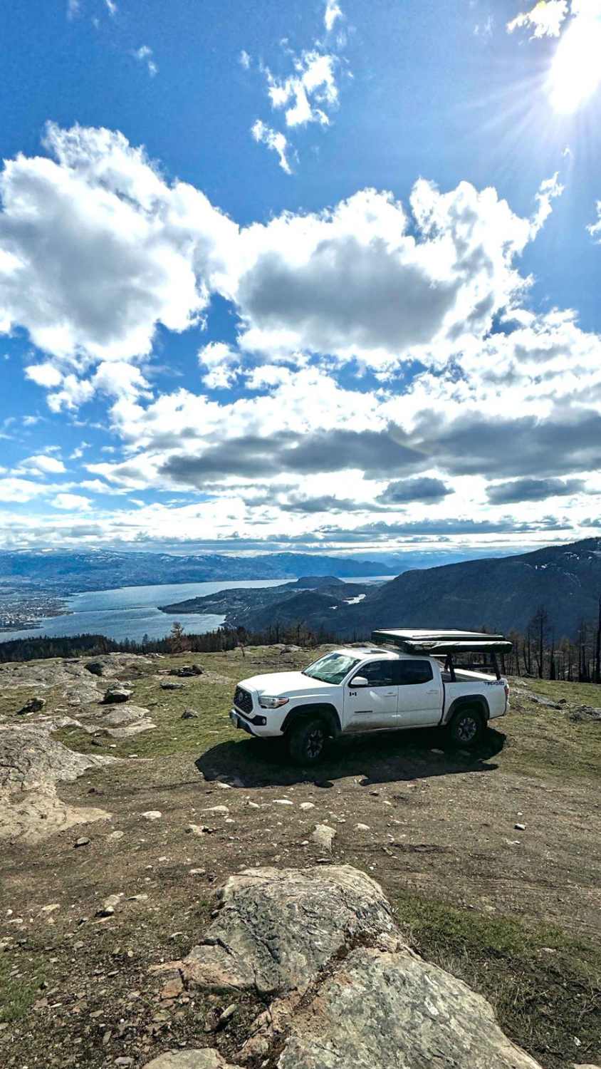
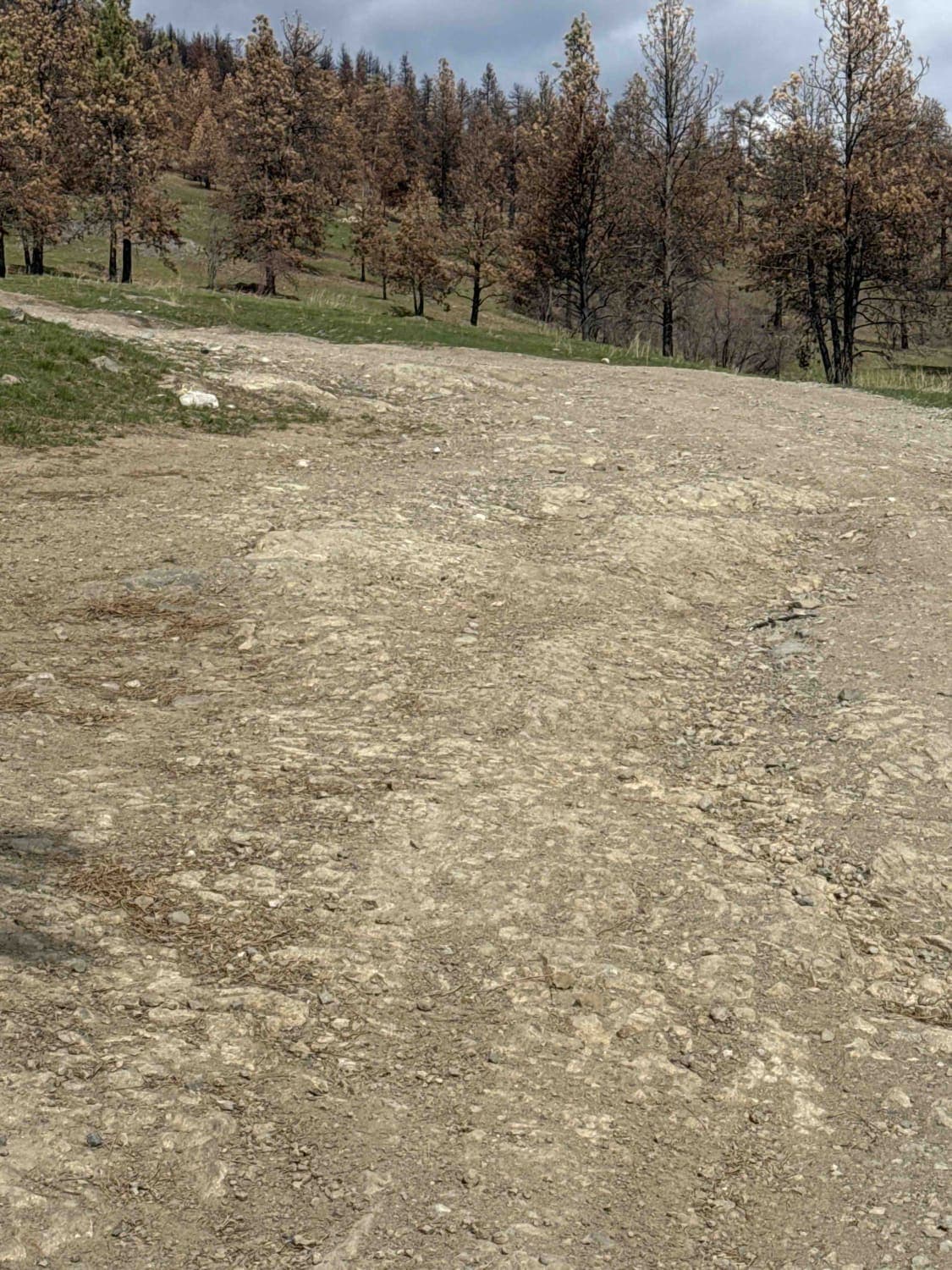
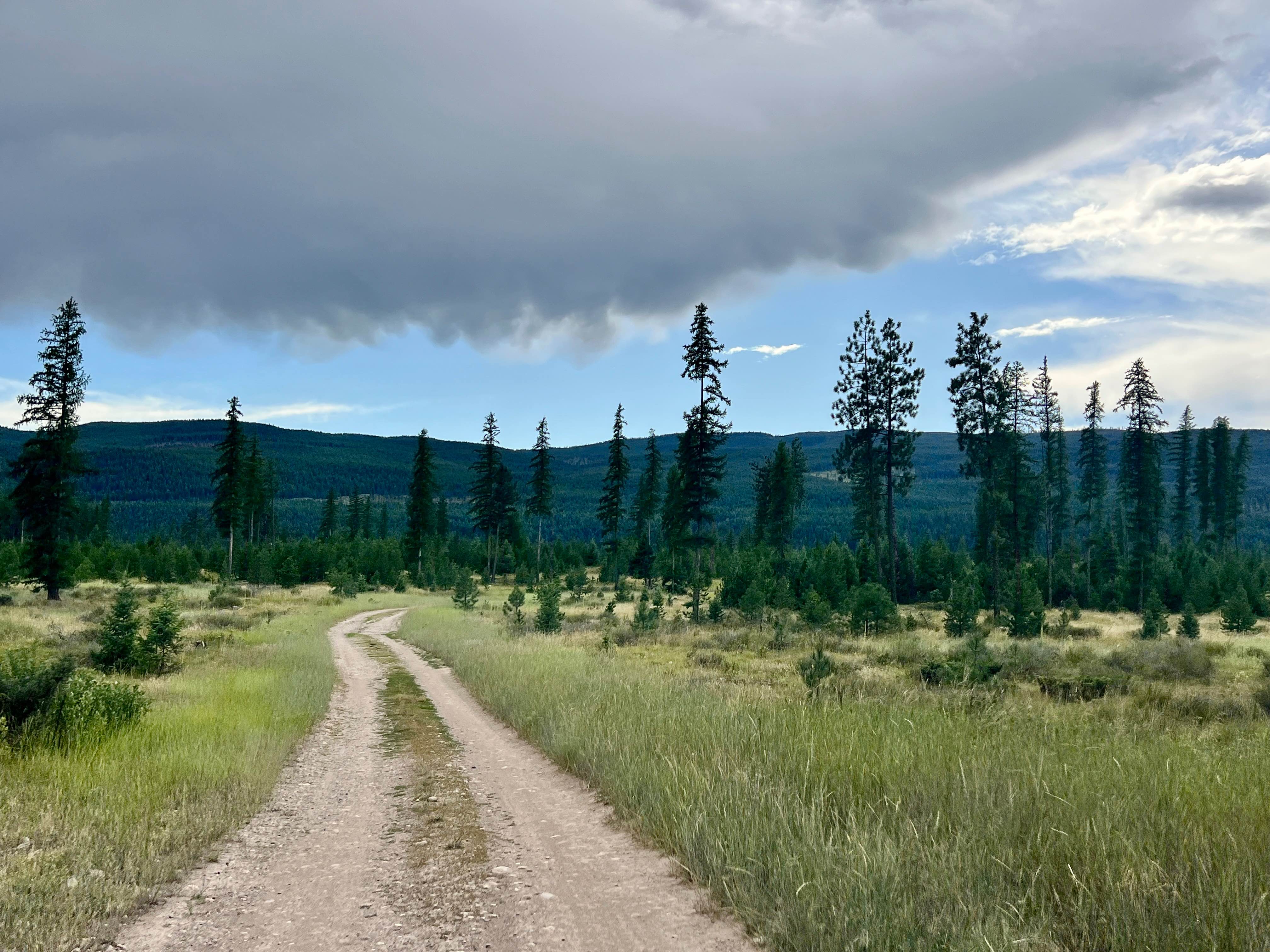
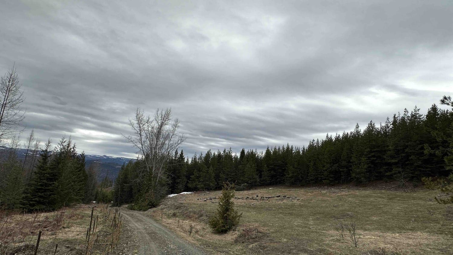
Blue Grouse Road offers a single-vehicle-wide, stock-friendly trail for 4x4 vehicles, providing a variety of trail options. Accessible via Bear Lake Main FSR off Westside Road, the trailhead is approximately 2 kilometers away. At the start of the trail, you'll find yourself in a spacious area characterized by a mix of gravel, mud, and sand, with numerous trails branching out. It's crucial to adhere to the map initially to stay on course, as many adjacent trails cater to single-track or ATV use. Expect an immediate ascent over rocks and ledges up to 18 inches, alongside rutted sections due to water runoff. Once past the initial expanse, the main road becomes more discernible. The trail gradually navigates around three sides of the mountain, occasionally hugging its edge, offering ample photo opportunities of Kelowna City and Okanagan Lake. Previously densely forested, the area suffered a wildfire in 2023, resulting in charred tree trunks. Throughout the trail, you'll encounter several spots suitable for dispersed camping or a cozy bonfire. Reaching the mountain's summit, you'll encounter a cell tower and ample parking space, perfect for indulging in panoramic views of the Okanagan Valley and its surrounding mountain ranges. Expect to encounter other vehicles, dirt bikes, and side-by-sides along the trail. Due to inconsistent cell service, it's advisable to carry a satellite device for communication.
Photos of Blue Grouse Mountain Summit
Difficulty
Expect many rock ledges 12-18 inches tall, large potholes, rutted areas, washed-out areas from water runoff, and steep sections. The road is one vehicle wide with many places to pull over to allow others to pass.
Status Reports
Blue Grouse Mountain Summit can be accessed by the following ride types:
- High-Clearance 4x4
- SUV
- SxS (60")
- ATV (50")
- Dirt Bike
Blue Grouse Mountain Summit Map
Popular Trails
Yahk To Canuck Creek Rec Site
Albers Creek Road

Viewpoint Spur
The onX Offroad Difference
onX Offroad combines trail photos, descriptions, difficulty ratings, width restrictions, seasonality, and more in a user-friendly interface. Available on all devices, with offline access and full compatibility with CarPlay and Android Auto. Discover what you’re missing today!