Skyline Loop
Total Kilometers
38.2
Technical Rating
Best Time
Summer
Trail Type
Full-Width Road
Accessible By
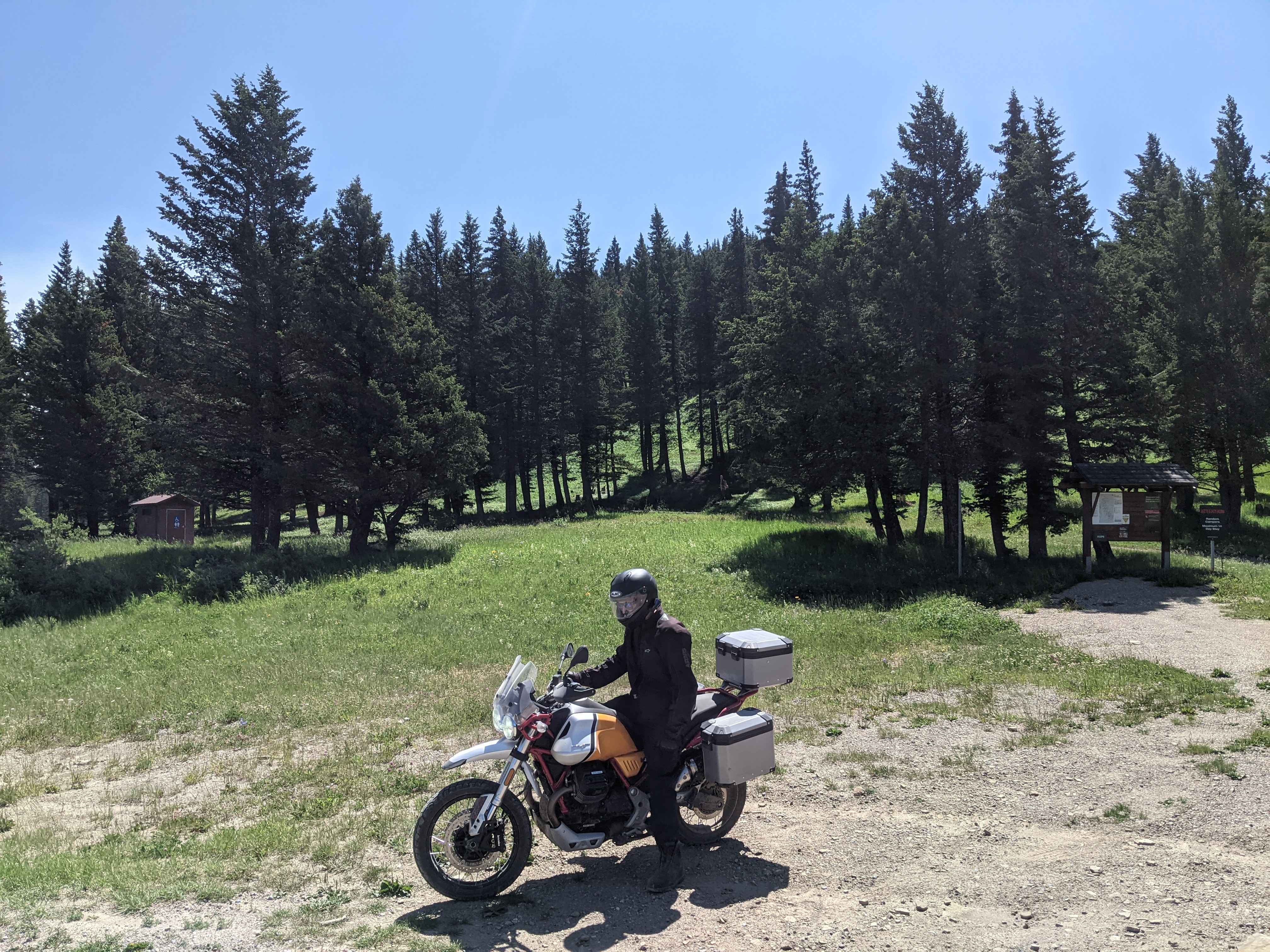
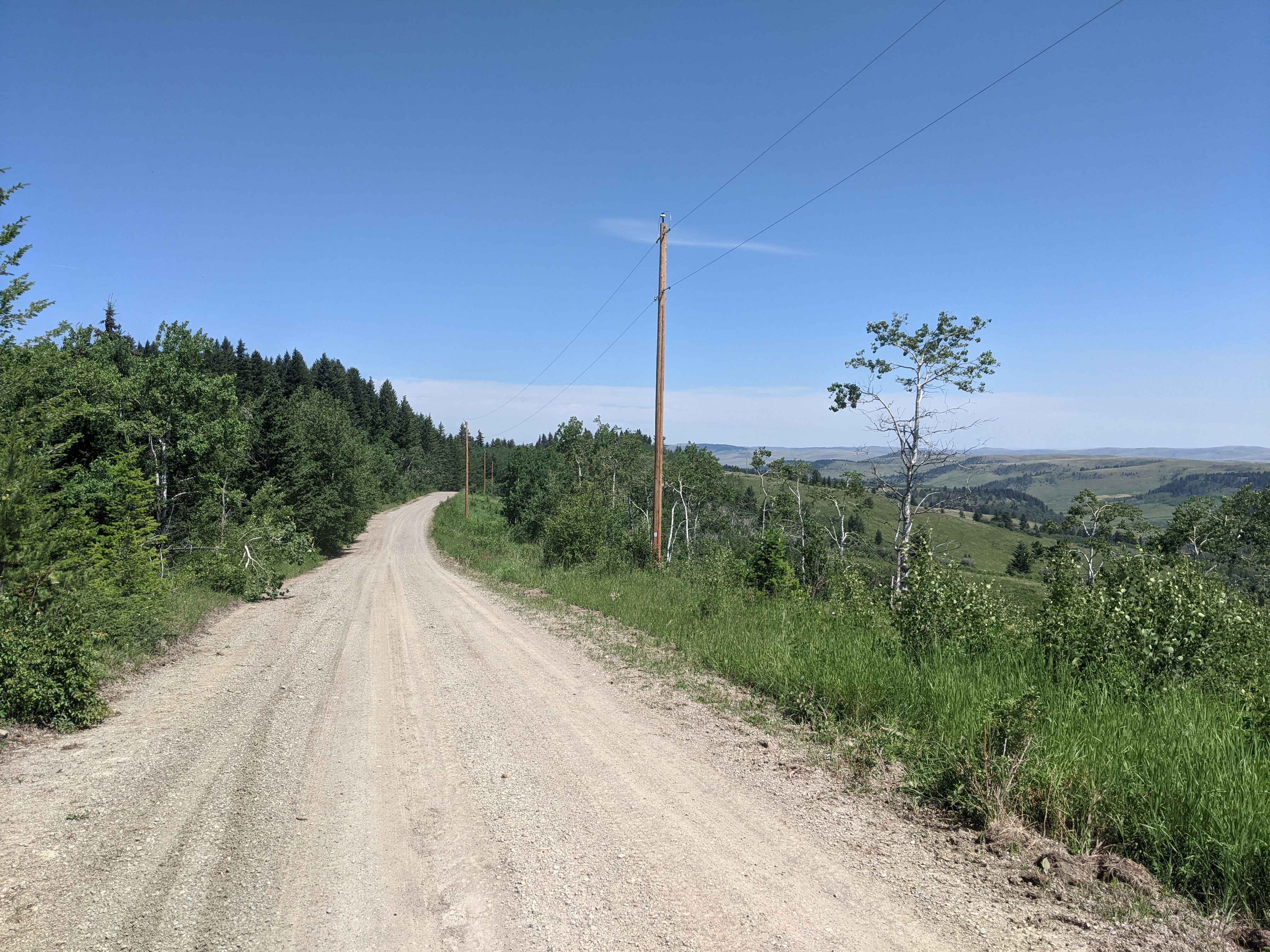
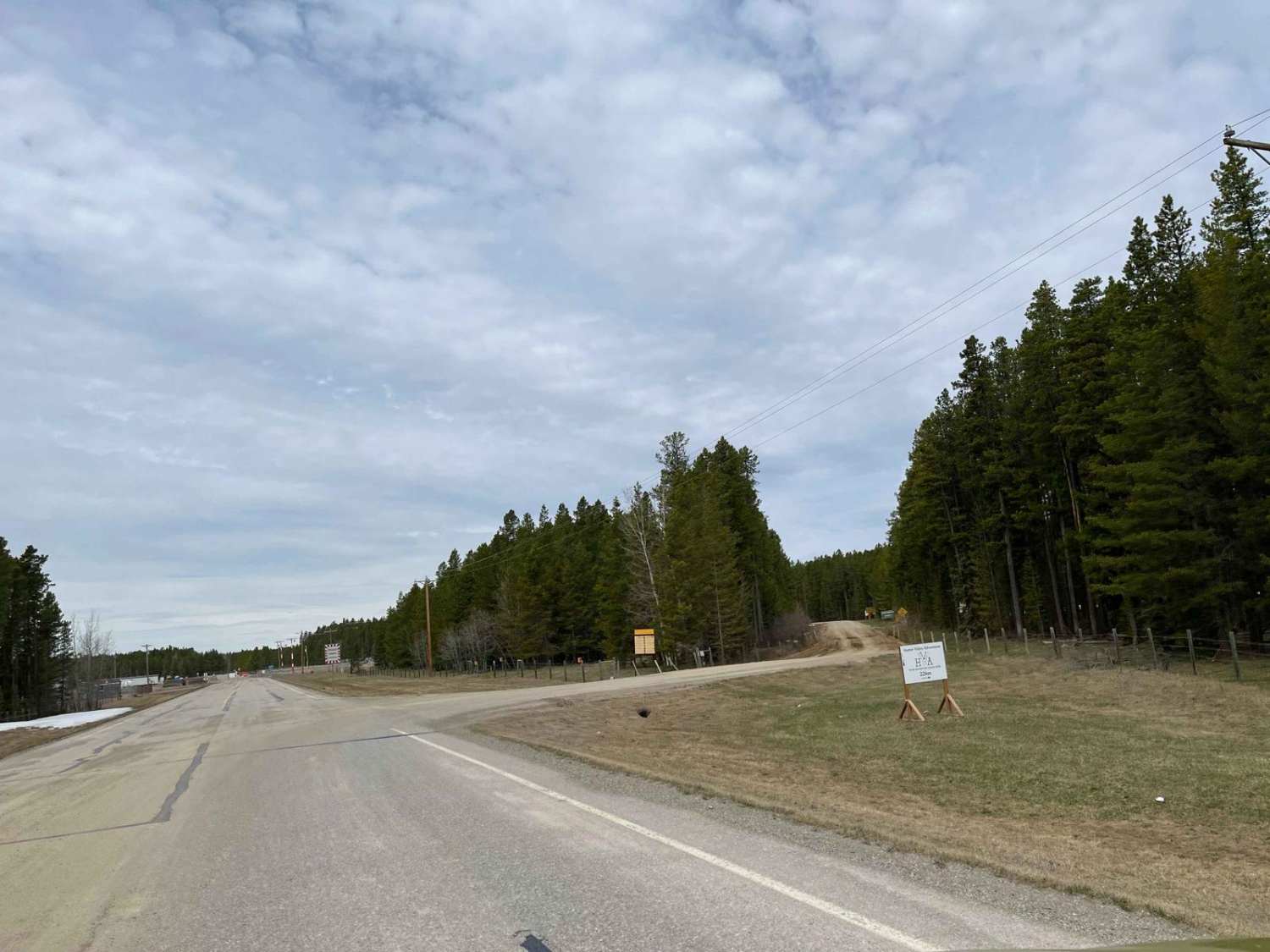
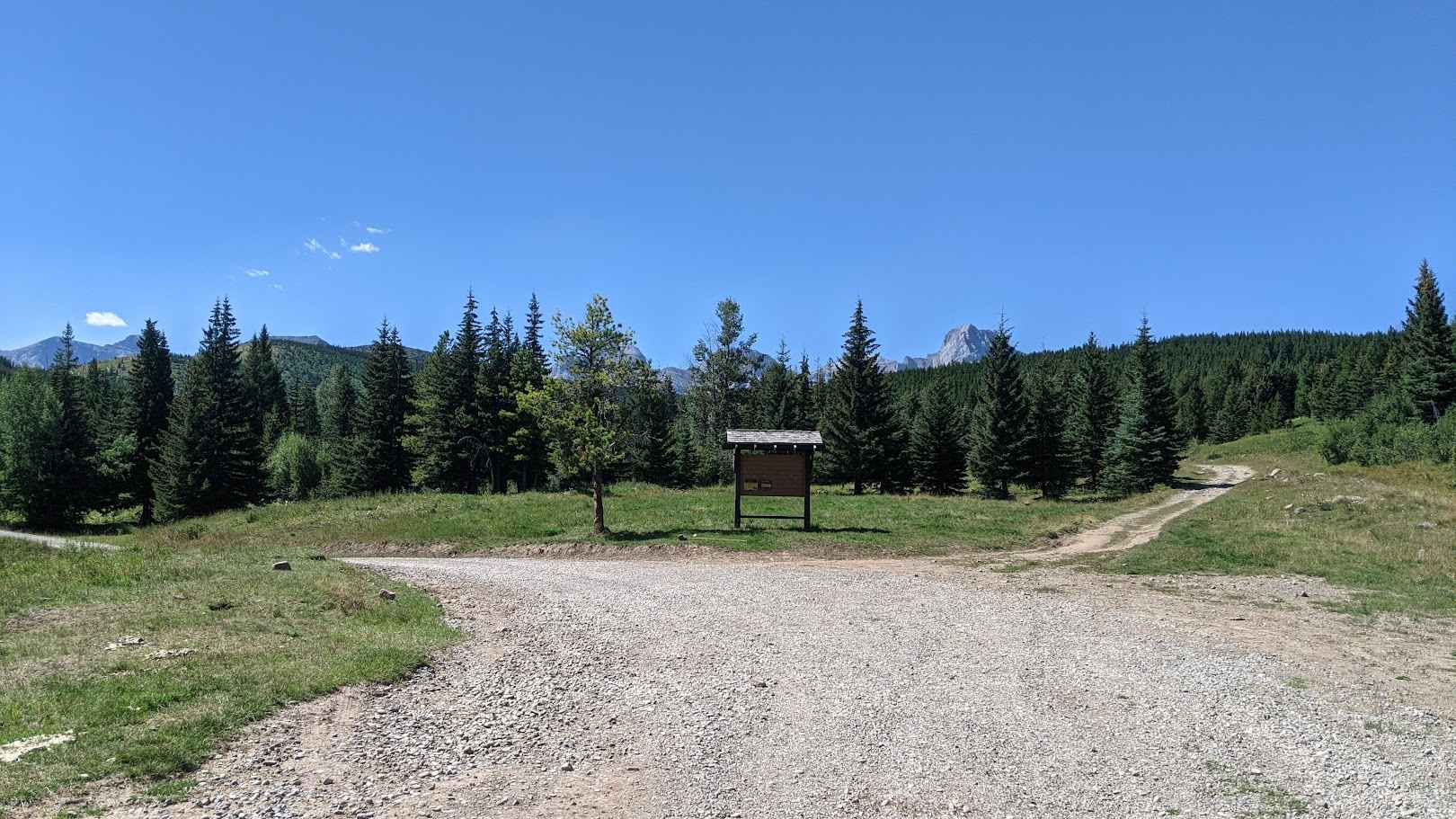
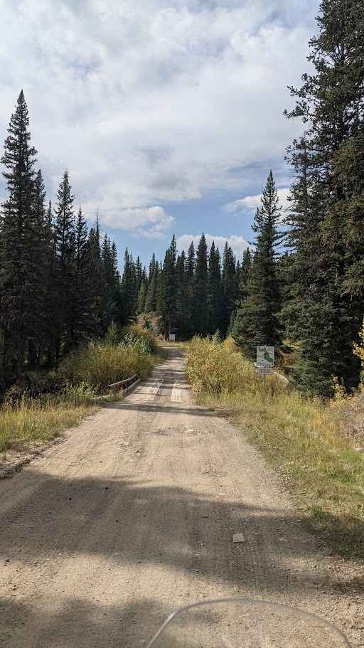
Trail Overview
A fun, easy & scenic hard-packed gravel road that is maintained during the summer months. It can be slippery during rainy & snowy days. Great views are present on the east & west fingers of the loop. From the 520, both fingers to the south will give you access to the Porcupine Hills, Beaver Creek area.
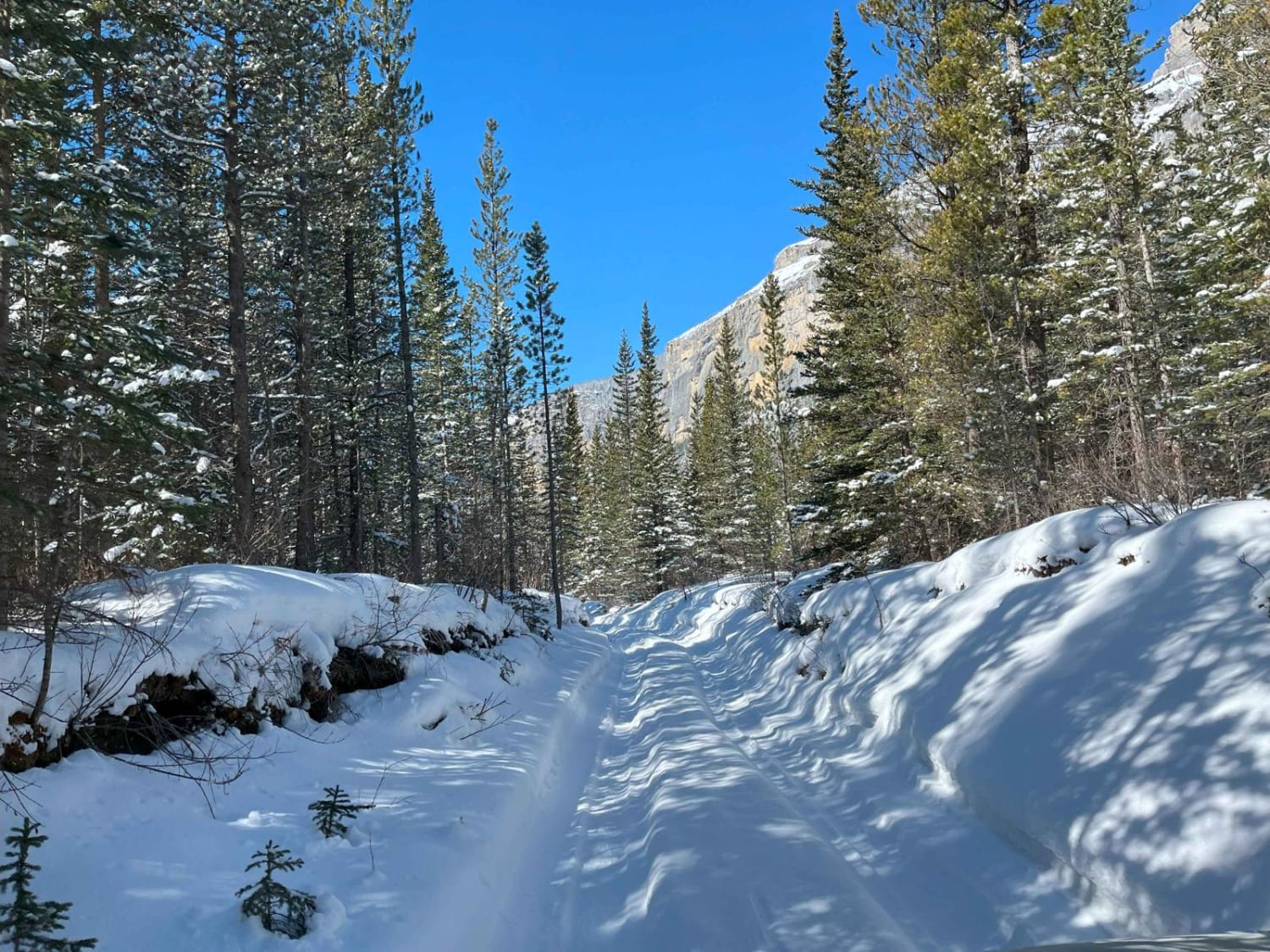
Photos of Skyline Loop
Difficulty
This is a two-vehicle wide hard, hard-packed gravel road that is maintained during the summertime. A 2WD vehicle is accessible when dry. A few cattle gates are present.
Status Reports
Skyline Loop can be accessed by the following ride types:
- High-Clearance 4x4
- SUV
Skyline Loop Map
Popular Trails
Stud Creek Road
Goat Creek Loop
Dutch Creek Road
The onX Offroad Difference
onX Offroad combines trail photos, descriptions, difficulty ratings, width restrictions, seasonality, and more in a user-friendly interface. Available on all devices, with offline access and full compatibility with CarPlay and Android Auto. Discover what you’re missing today!