Rose Creek
Total Kilometers
48.1
Technical Rating
Best Time
Spring, Summer, Fall, Winter
Trail Type
Full-Width Road
Accessible By
Trail Overview
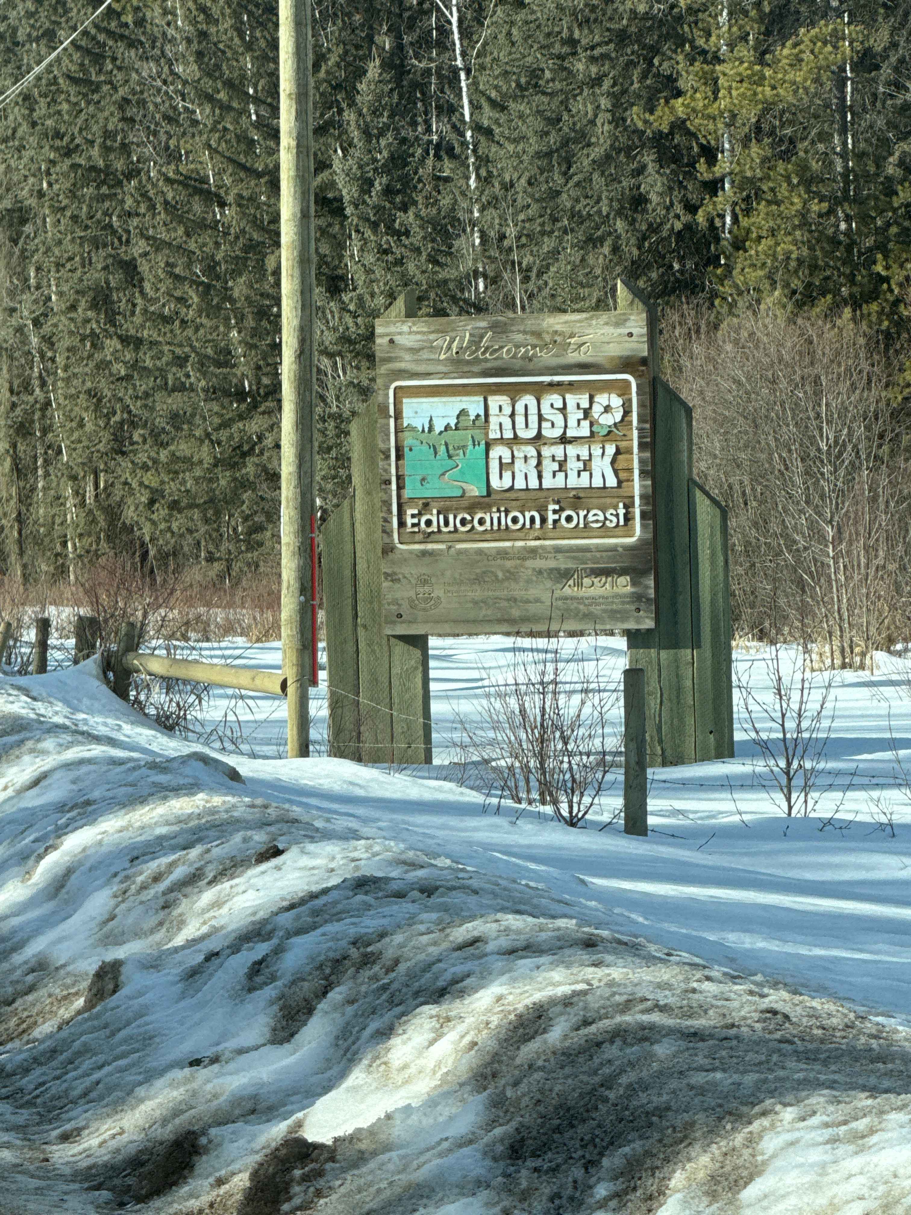
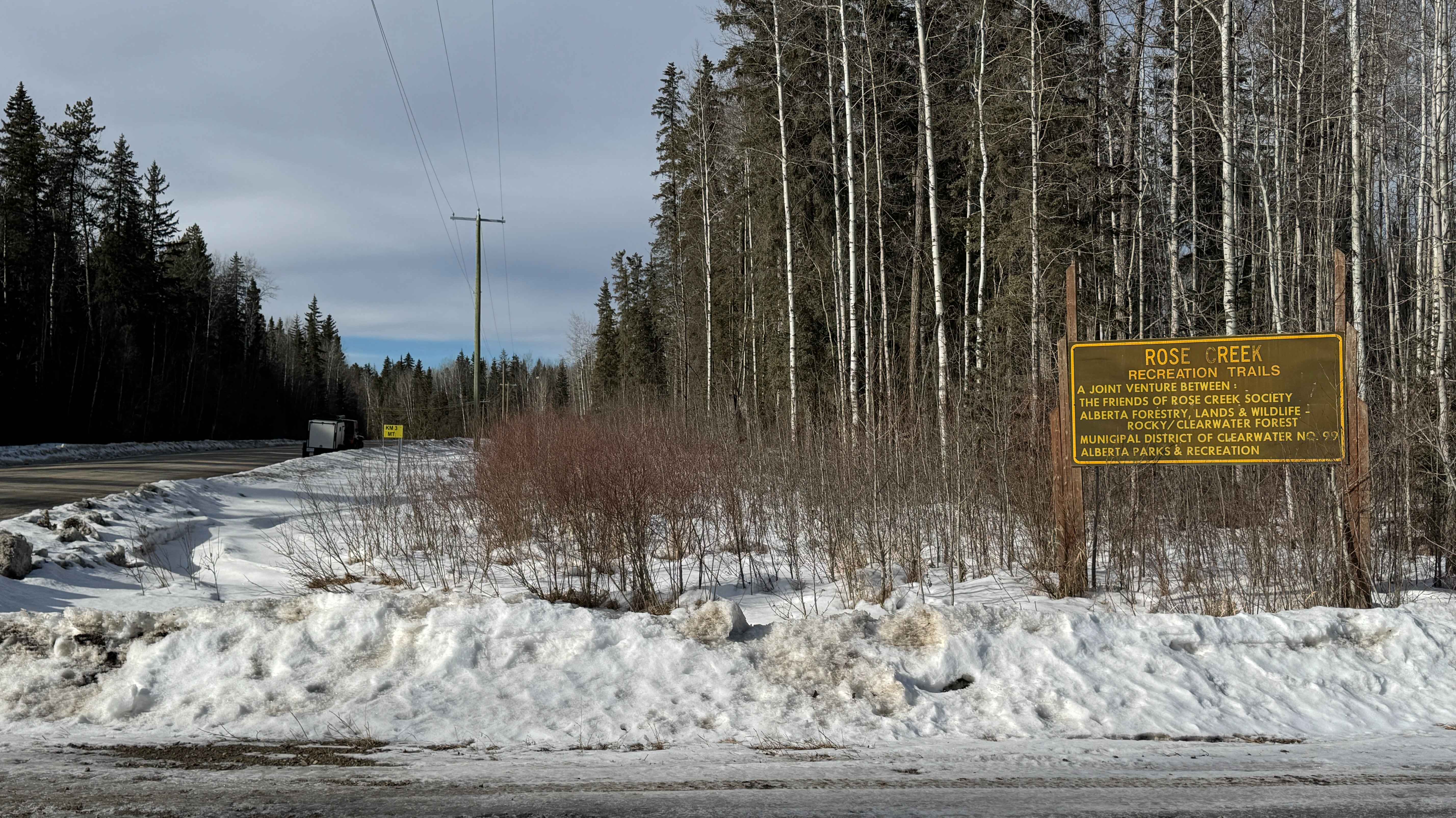
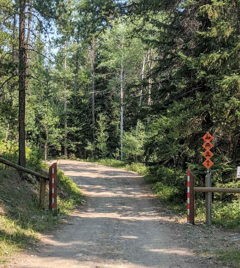
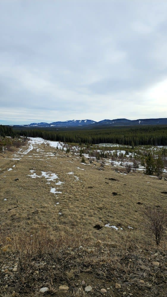
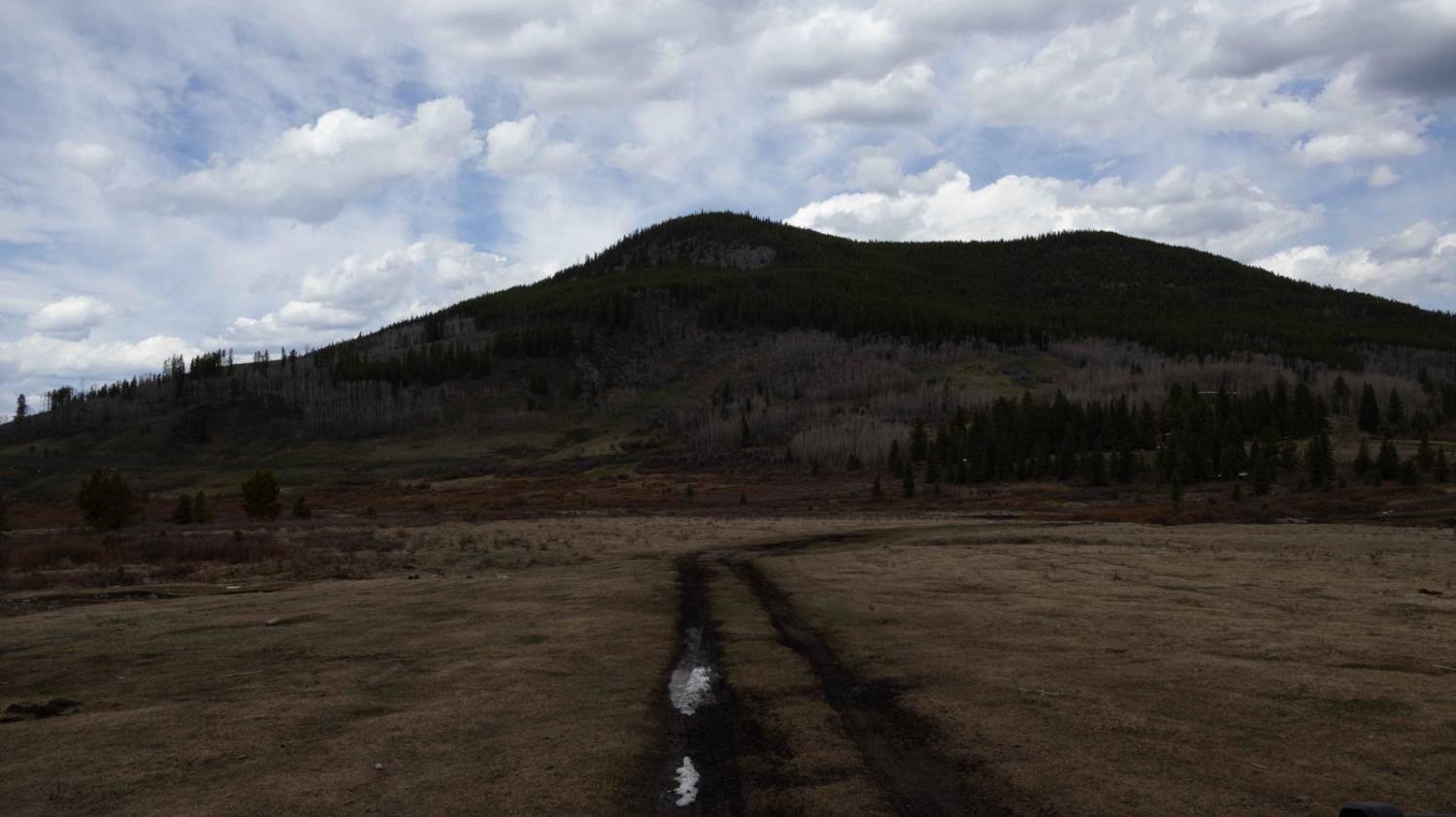
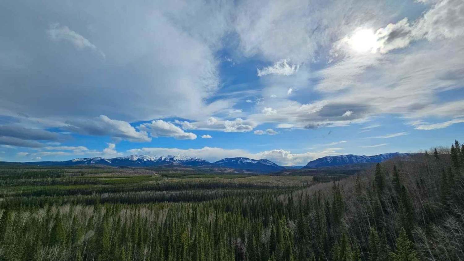
Rose Creek is a well-traveled gravel route that begins by heading west out of Alder Flats on Township Road 460. Pavement ends shortly after crossing the bridge, where you're welcomed by the Rose Creek Recreational Area sign. From this point forward, the drive transitions into a high-grade gravel road that provides access to an extensive network of lease roads and secondary trails branching in all directions. The main corridor is generally maintained depending on industrial activity in the area. Under dry conditions, it is suitable for most stock 4x4 or AWD vehicles. However, heavy rainfall can quickly change the character of the trail, creating deep ruts, washouts, and muddy sections--particularly in low-lying "skeg" (muskeg) terrain. During winter months, snow accumulation and limited maintenance may require true 4x4 capability and proper winter recovery equipment. Rose Creek passes by Camp 9 Campground with the trout pond located directly beside the campground itself. The established, treed camping area offers a quiet, secluded experience. Many visitors find they have the space largely to themselves outside of peak weekends. Numerous dispersed camping opportunities exist throughout the surrounding Crown land, particularly if you explore routes leading closer to the North Saskatchewan River. The trail system is popular for multi-use recreation, including ATVs, dirt bikes, and snowmobiling. Many side routes eventually lead toward the river valley, offering scenic viewpoints and additional camping options. Drivers will encounter three single-lane bridges along the main route, along with several rolling hills that provide elevated viewpoints. On clear days, distant mountain ranges are visible on the western horizon, adding to the sense of depth and scale in the landscape. Cell service is inconsistent throughout the area. Download offline maps before heading out and be prepared for limited connectivity. A VHF road radio is recommended. Monitor LADD-1 to listen for oncoming industrial traffic. Recovery gear is also recommended, especially during wet seasons.
Photos of Rose Creek
Difficulty
It is important to note that while the base rating is Easy, conditions can change with the weather. Heavy rain may create ruts, muddy sections (particularly in low areas), and minor washouts. In winter, snow accumulation and reduced maintenance may temporarily increase difficulty, making 4x4 and proper winter tires advisable.
History
The Rose Creek area, shaped by early 1930s homesteading and logging activity, carries a strong sense of Alberta's frontier history. Remnants of old lease roads and cut lines reflect its working-land roots, many of which now serve as access routes for recreation.
Status Reports
Rose Creek can be accessed by the following ride types:
- High-Clearance 4x4
- SUV
- SxS (60")
- ATV (50")
- Dirt Bike
Rose Creek Map
Popular Trails
Seven Sisters Trail
Quirk Ridge
Nordegg Rail Trail
The onX Offroad Difference
onX Offroad combines trail photos, descriptions, difficulty ratings, width restrictions, seasonality, and more in a user-friendly interface. Available on all devices, with offline access and full compatibility with CarPlay and Android Auto. Discover what you’re missing today!