3150 Trail
Total Kilometers
7.3
Technical Rating
Best Time
Summer
Trail Type
Full-Width Road
Accessible By
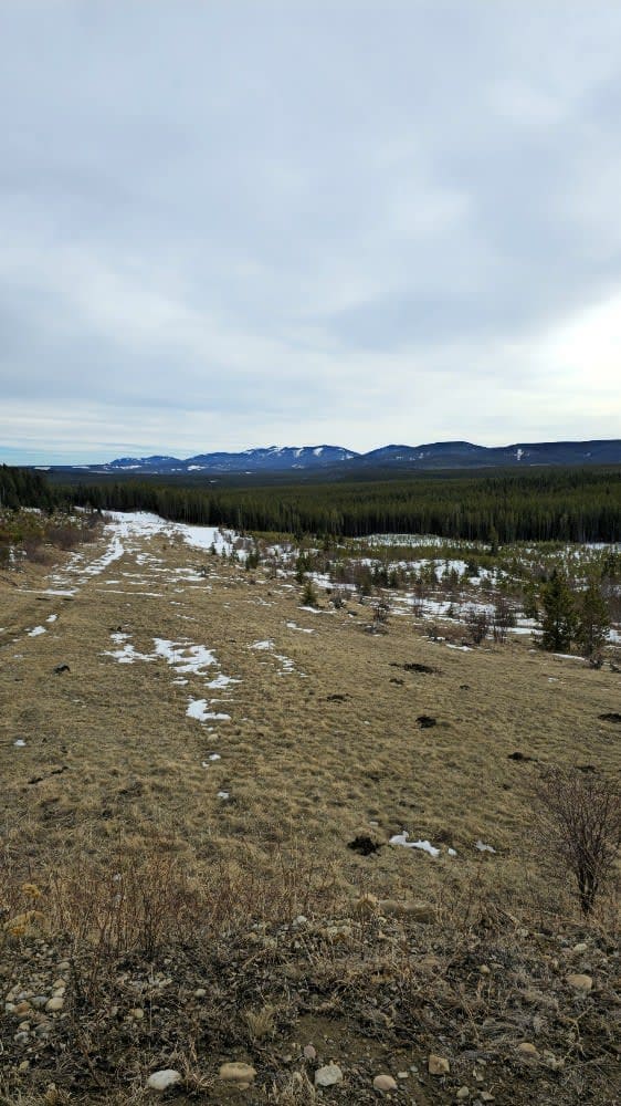
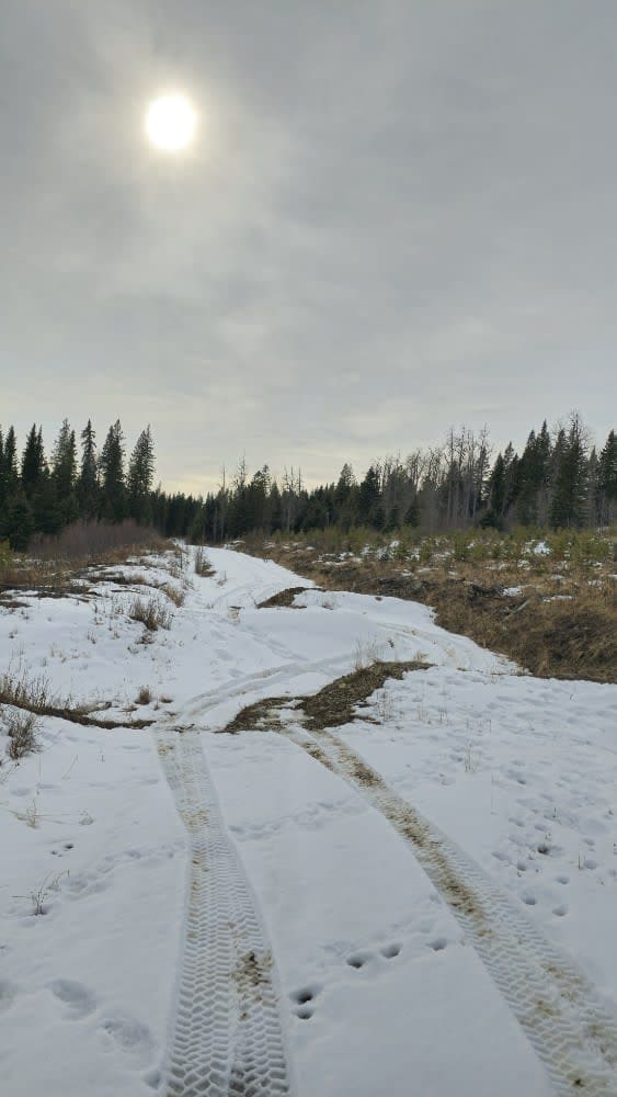
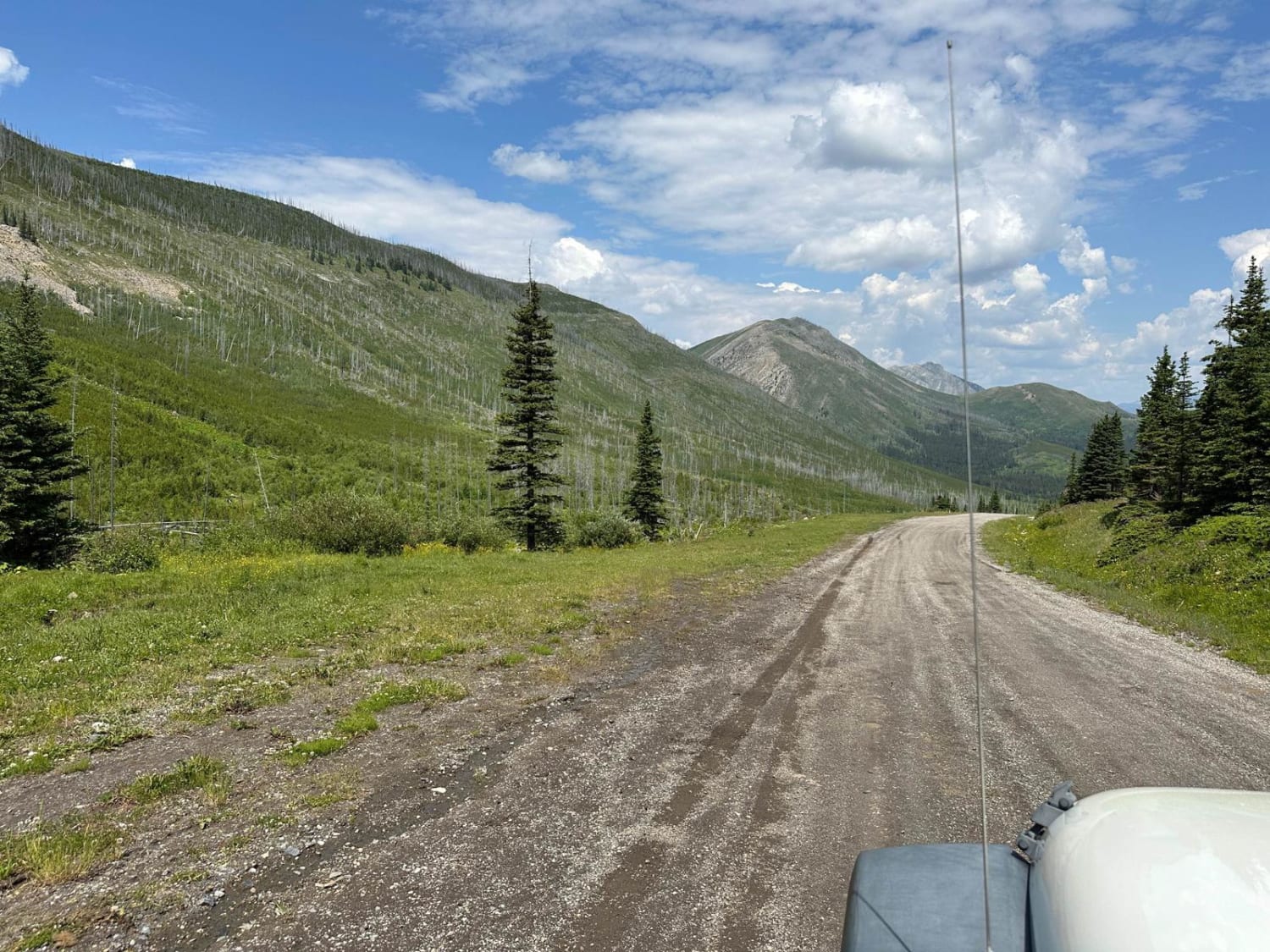
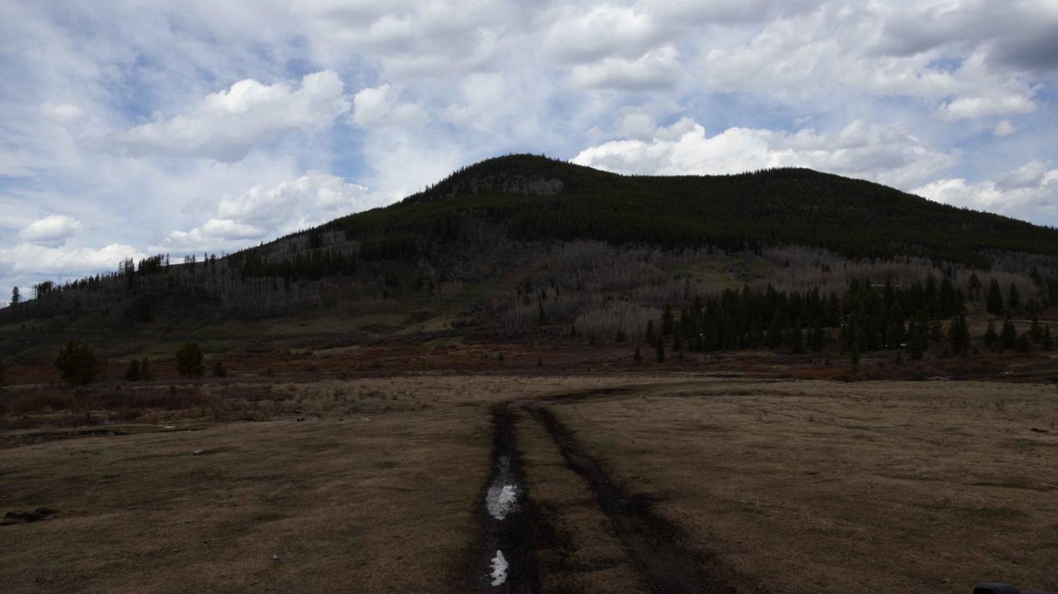
Trail Overview
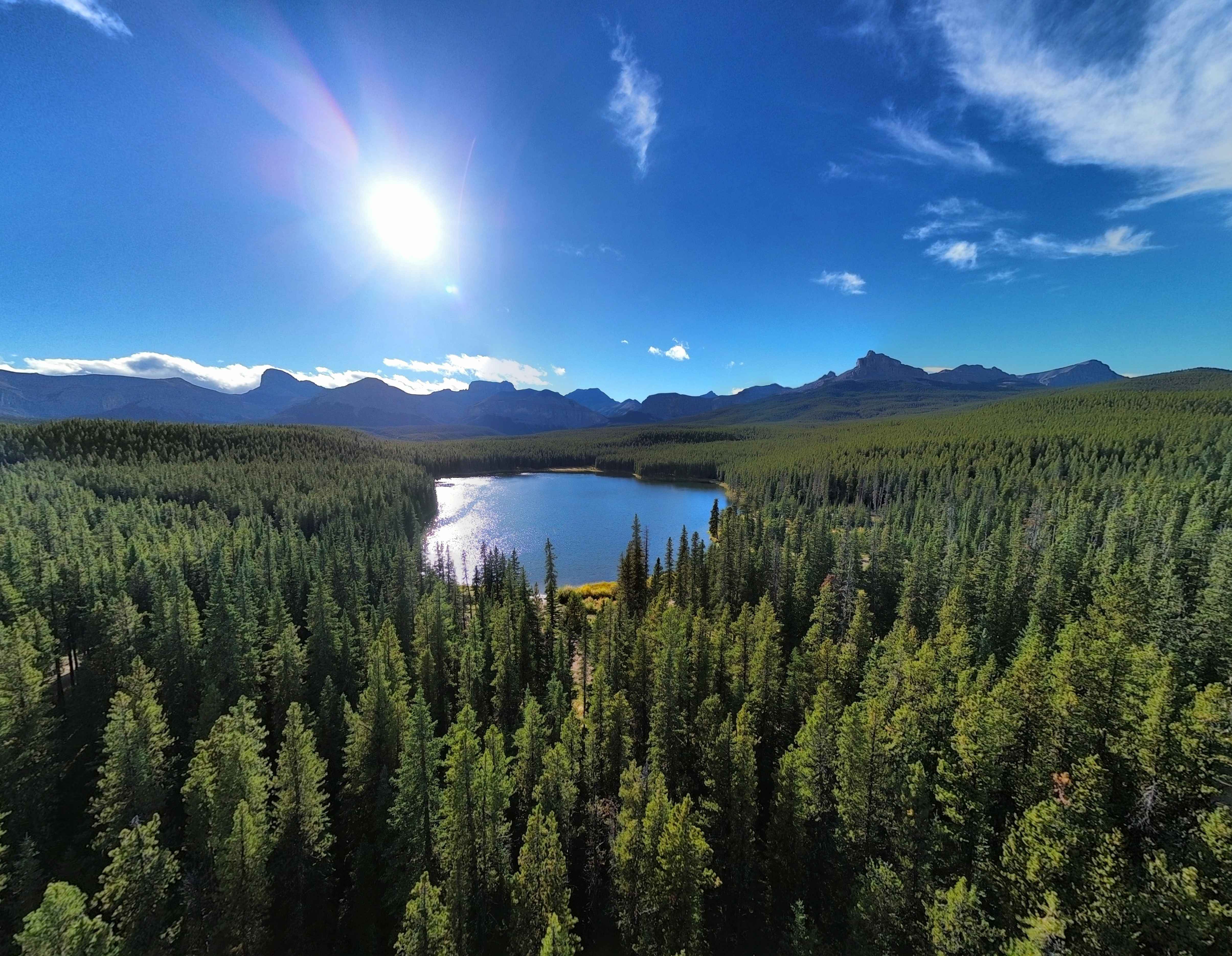
This is an old logging road. Conditions can rapidly change due to weather and the time of year. Expect mud, snow, stumps, and logs with a few washouts along the way. There is a river at the end of the trail with a couple of camping spots. You get a great view of the mountains along the way with a few little side trails too.
Photos of 3150 Trail
Difficulty
There is only one decent obstacle that will favor short wheelbase vehicles, but a longer wheelbase can get through.
History
This is an old logging road, so you'll be in old cut blocks and cut lines.
3150 Trail can be accessed by the following ride types:
- High-Clearance 4x4
- SUV
- SxS (60")
- ATV (50")
- Dirt Bike
3150 Trail Map
Popular Trails
Quirk Ridge
The onX Offroad Difference
onX Offroad combines trail photos, descriptions, difficulty ratings, width restrictions, seasonality, and more in a user-friendly interface. Available on all devices, with offline access and full compatibility with CarPlay and Android Auto. Discover what you’re missing today!