Livingston Peak Road
Total Miles
7.2
Technical Rating
Best Time
Spring, Summer
Trail Type
Full-Width Road
Accessible By
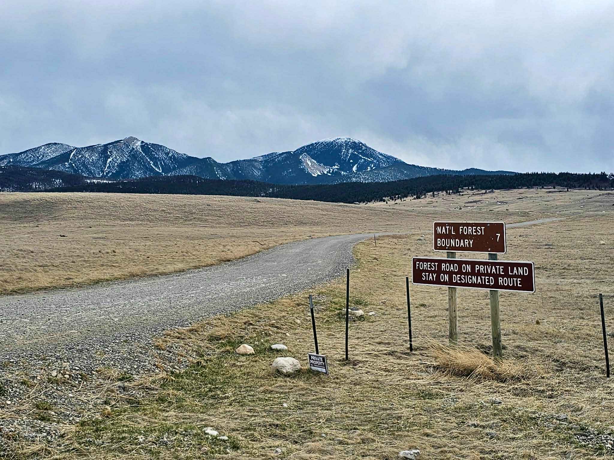
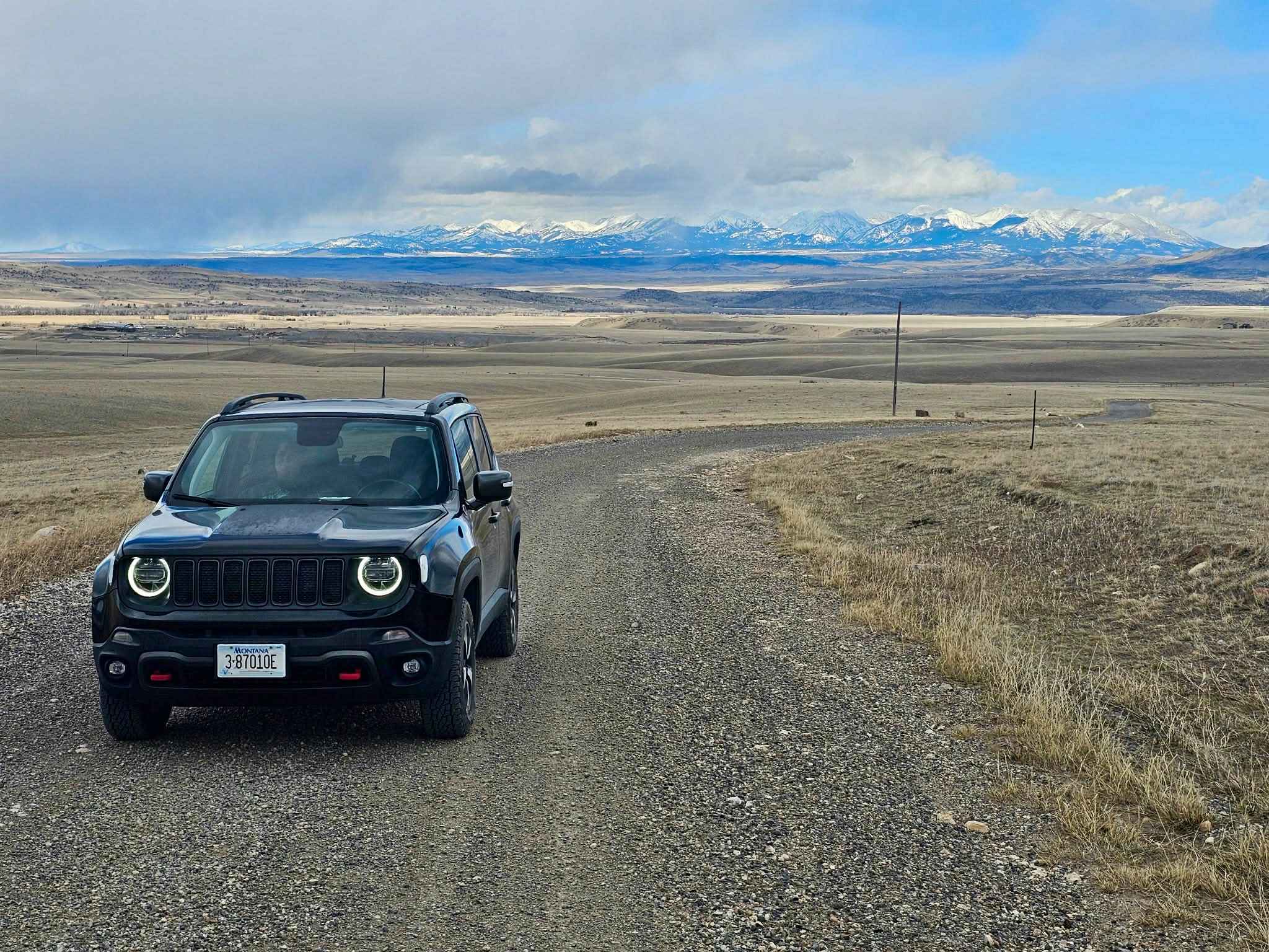
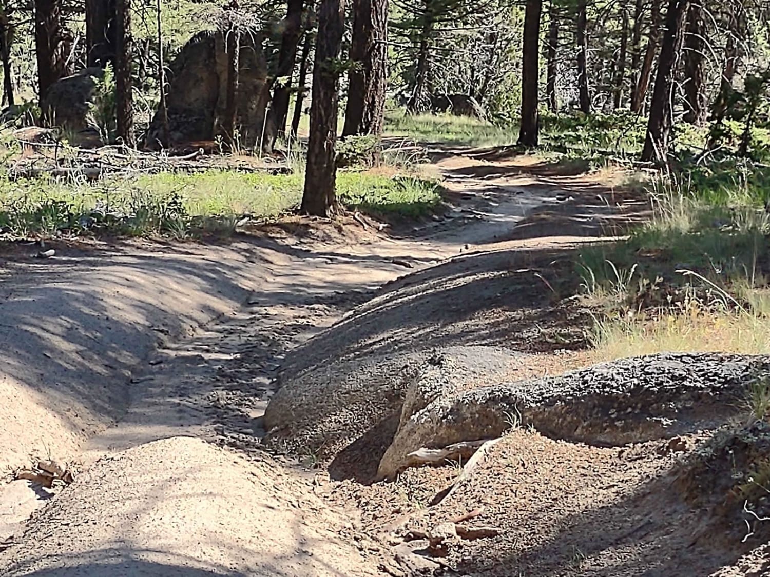
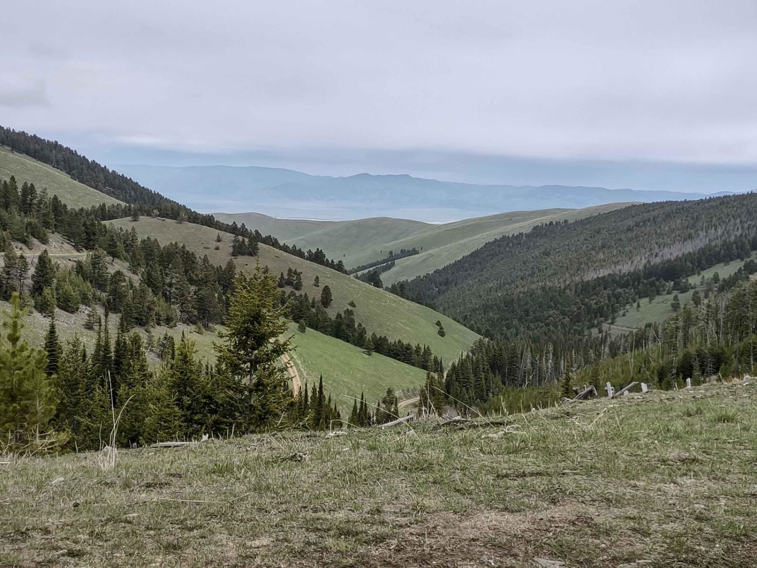
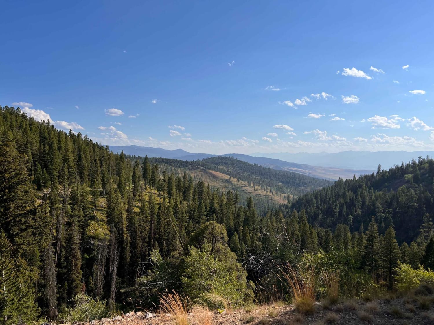
Trail Overview
The trailhead is located just minutes from the historic downtown of Livingston, with plenty of opportunities to get fuel and other supplies. The trailhead is also roughly 29 miles from Chico Hot Springs and Resort. The trail consists mostly of gravel but does degrade into a dirt road toward the top of the mountain. Any high clearance vehicle should be fine in good weather, but there is a chance it could turn sloppy with rain and snow. There are breathtaking mountain views all along the trail with many opportunities to see wildlife along the way, such as deer, pronghorn, and moose. The route ends at Livingston Peak Trailhead, then turns strictly into a hiking, biking, and horse trail.
Photos of Livingston Peak Road
Difficulty
Mostly gravel with the potential to get wet and snowy towards the top, depending on the weather.
Status Reports
Livingston Peak Road can be accessed by the following ride types:
- High-Clearance 4x4
- SUV
- SxS (60")
- ATV (50")
- Dirt Bike
Livingston Peak Road Map
Popular Trails

Storm Castle to Line Creek Rd
Erosion Excursion
Indian Creek Road
The onX Offroad Difference
onX Offroad combines trail photos, descriptions, difficulty ratings, width restrictions, seasonality, and more in a user-friendly interface. Available on all devices, with offline access and full compatibility with CarPlay and Android Auto. Discover what you’re missing today!