Buckhorn Wash Trail
Total Miles
10.4
Technical Rating
Best Time
Spring, Summer, Fall, Winter
Trail Type
Full-Width Road
Accessible By
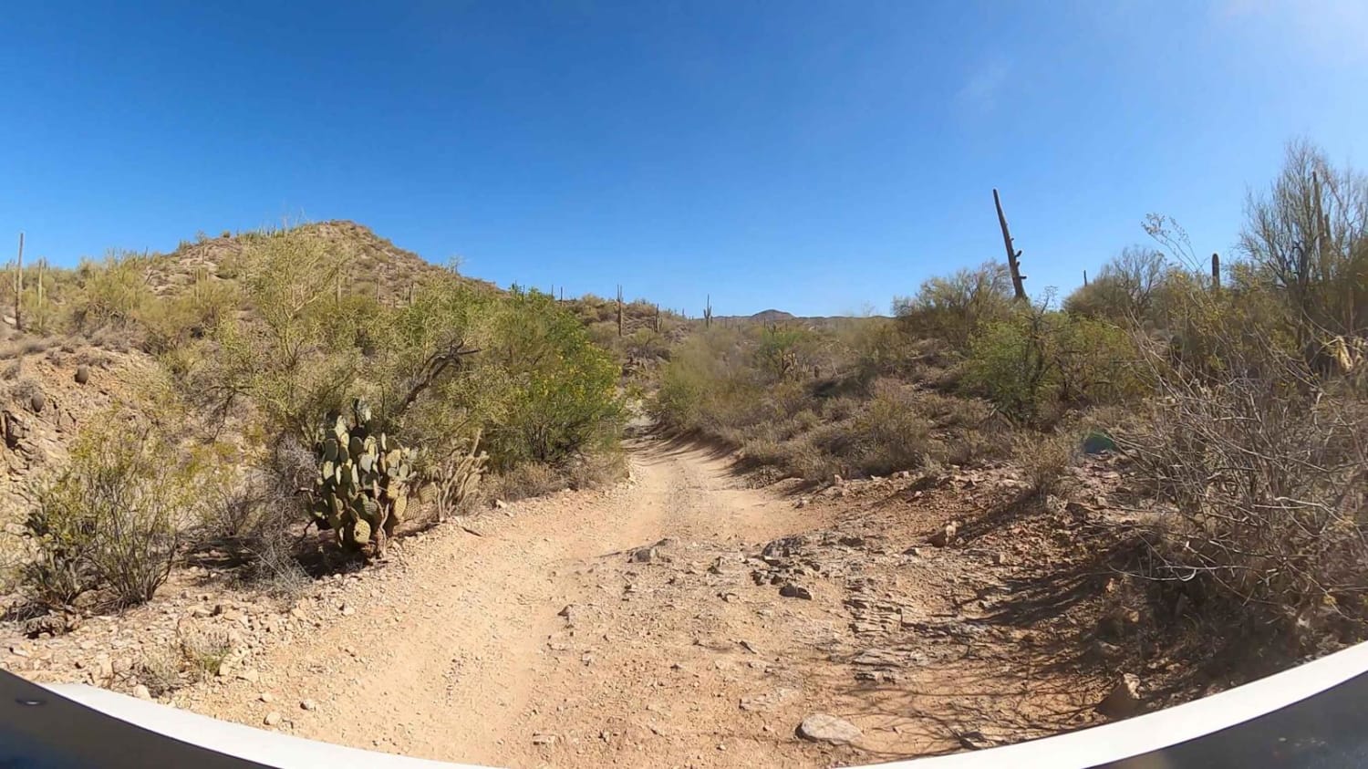
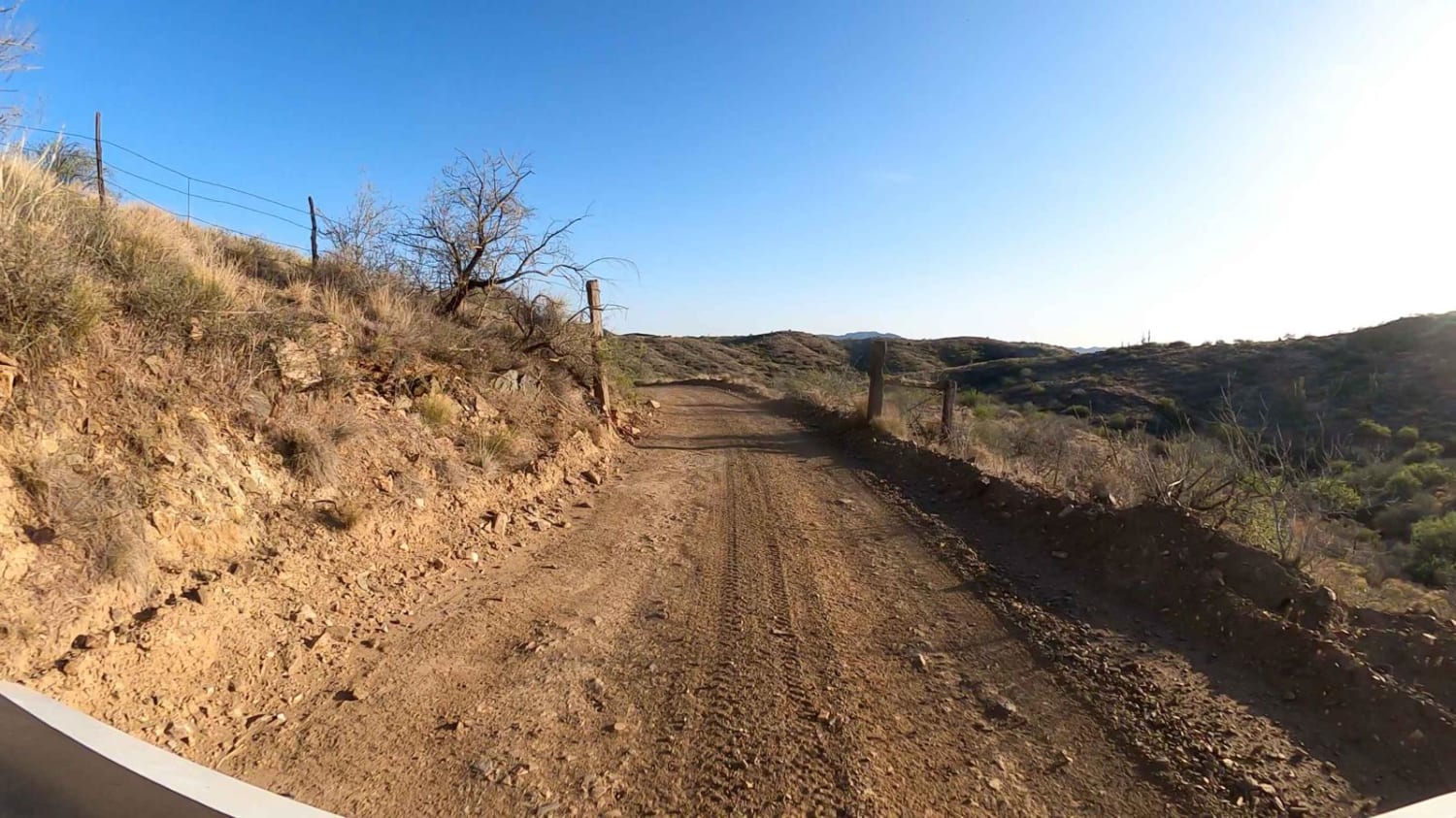
Trail Overview
Buckhorn Wash Trail connects Castle Creek Road (Wash) to Bradshaw Mountain Trail, then to Constellation Road (Wickenburg, AZ) Which then offers two choices. Going north leads to the North end of the Box Canyon Hassayampa Wash, while South West leads directly to downtown Wickenburg, AZ. This is a great road to access numerous trails, abandon mines, etc. There are many offshoots with very technical applications. Certainly something for everyone and most AWD/4WD vehicles.
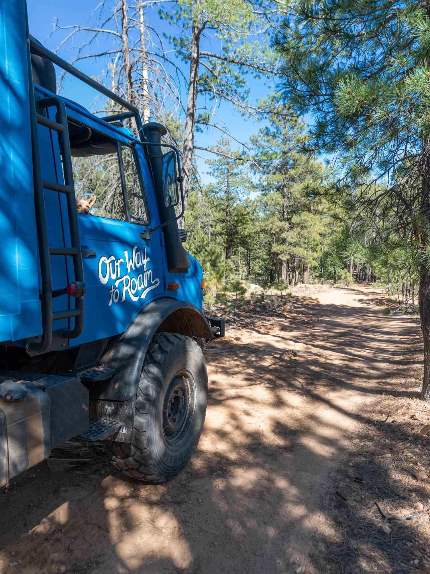
Photos of Buckhorn Wash Trail
Difficulty
This trail is graded yet is extremely steep in certain areas. The trail becomes muddy and slippery when wet.
Status Reports
Buckhorn Wash Trail can be accessed by the following ride types:
- High-Clearance 4x4
- SUV
- SxS (60")
- ATV (50")
- Dirt Bike
Buckhorn Wash Trail Map
Popular Trails
Navajo Trail West

North Entrance to French Lily Mine
Promontory Butte - FS 410
The onX Offroad Difference
onX Offroad combines trail photos, descriptions, difficulty ratings, width restrictions, seasonality, and more in a user-friendly interface. Available on all devices, with offline access and full compatibility with CarPlay and Android Auto. Discover what you’re missing today!