Williamson Cemetery A - FS 1048A
Total Miles
1.6
Technical Rating
Best Time
Spring, Summer, Fall, Winter
Trail Type
Full-Width Road
Accessible By
Trail Overview
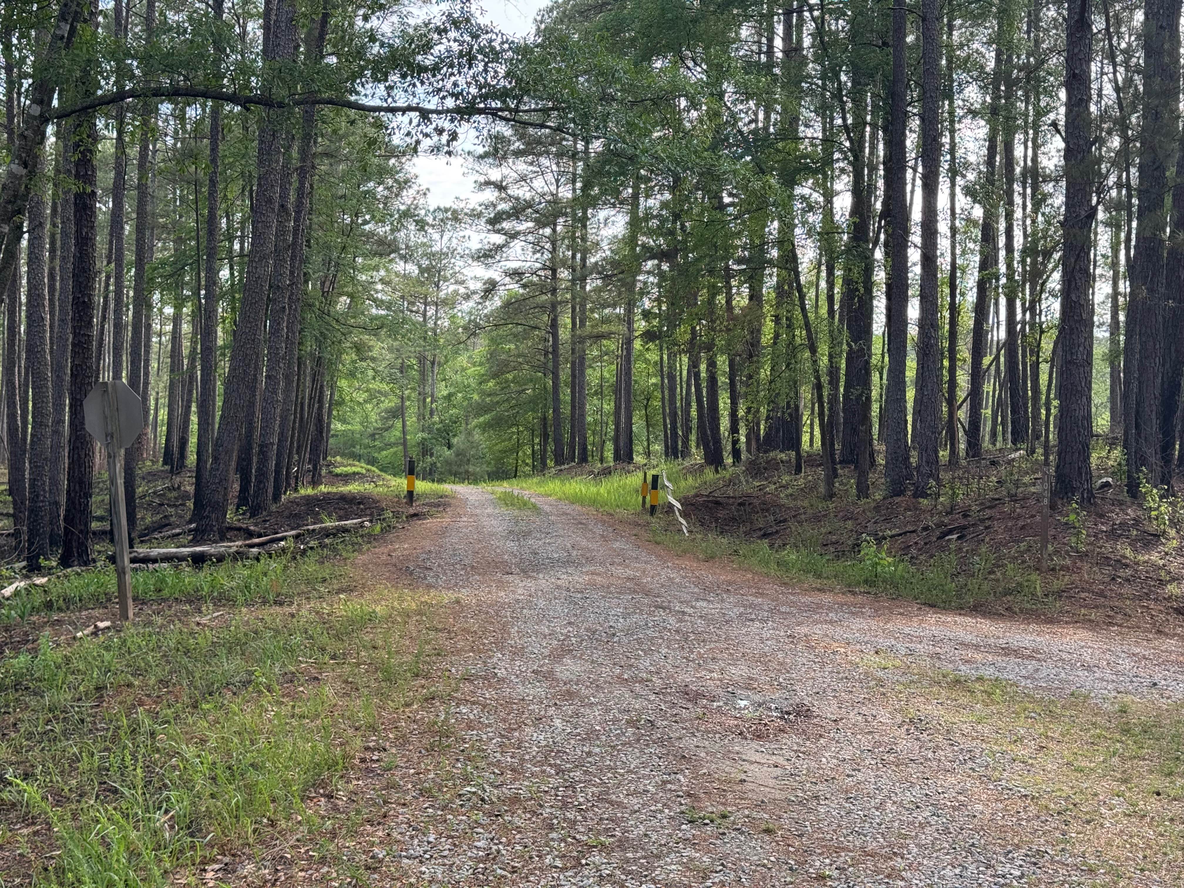
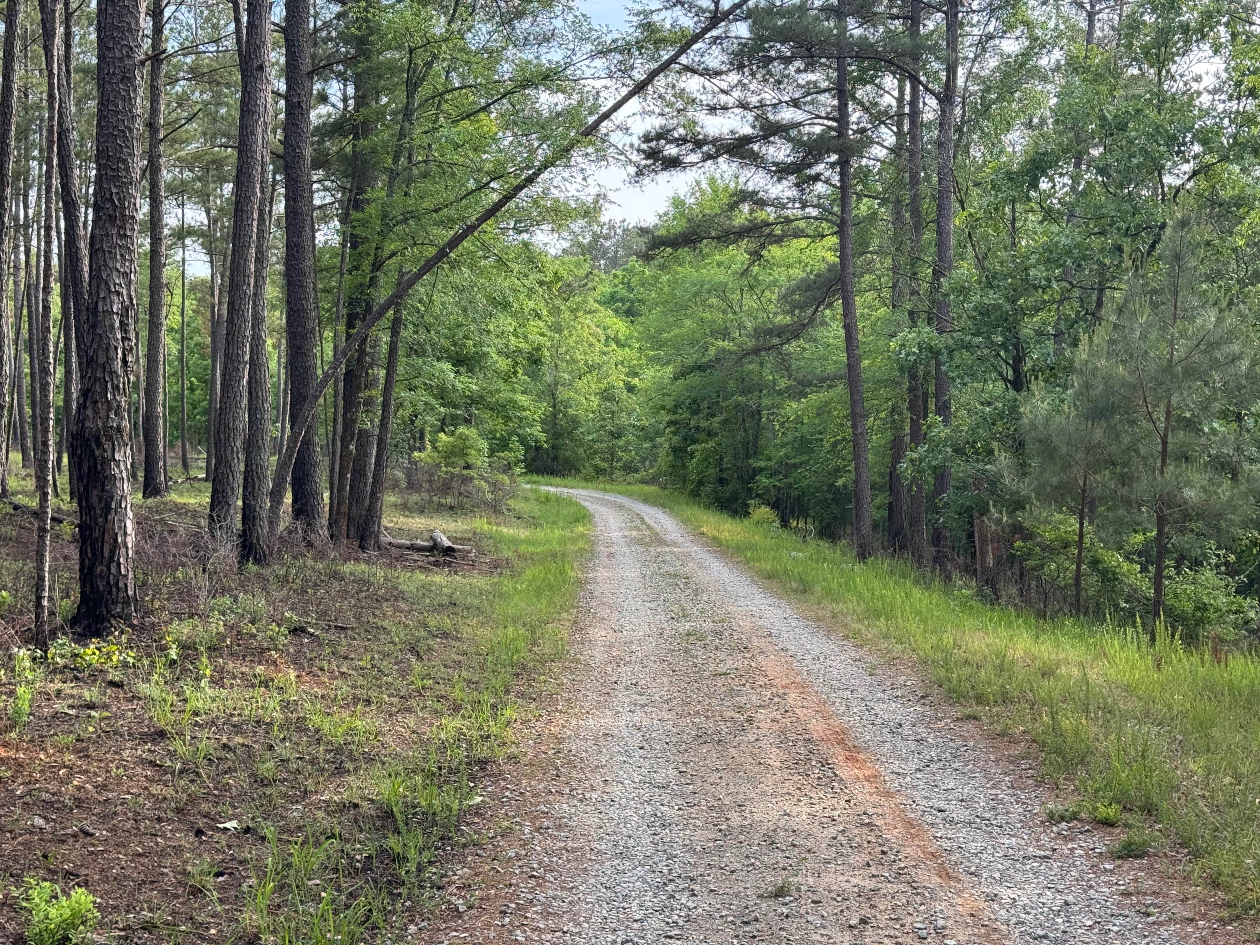
Williamson Cemetery A (FS 1048A) branches off of FS 1048 about three miles south of County Road 212. Most of the road is single-lane, improved gravel up to the closed gate where it enters private land. Turning left at the private gate to continue, the road loses some of its gravel base and picks up a few larger potholes, but it is still easily passable. The road winds gently through stands of loblolly and shortleaf pine, along with various oak and hickory species. The area is part of the Cedar Creek Wildlife Management Area, and all motorized vehicles are required to have license plates.
Photos of Williamson Cemetery A - FS 1048A
Difficulty
This road is one lane wide with spots to pass. Good, smooth surface with no obstacles.
Status Reports
Williamson Cemetery A - FS 1048A can be accessed by the following ride types:
- High-Clearance 4x4
- SUV
- Dirt Bike
Williamson Cemetery A - FS 1048A Map
Popular Trails

Toccoa River Road - FS 333
631- Tatum Lead

Cooper's Gap
The onX Offroad Difference
onX Offroad combines trail photos, descriptions, difficulty ratings, width restrictions, seasonality, and more in a user-friendly interface. Available on all devices, with offline access and full compatibility with CarPlay and Android Auto. Discover what you’re missing today!