Upper Tamarack Mountain - FS 9s028
Total Miles
1.1
Technical Rating
Best Time
Summer, Fall
Trail Type
Full-Width Road
Accessible By
Trail Overview
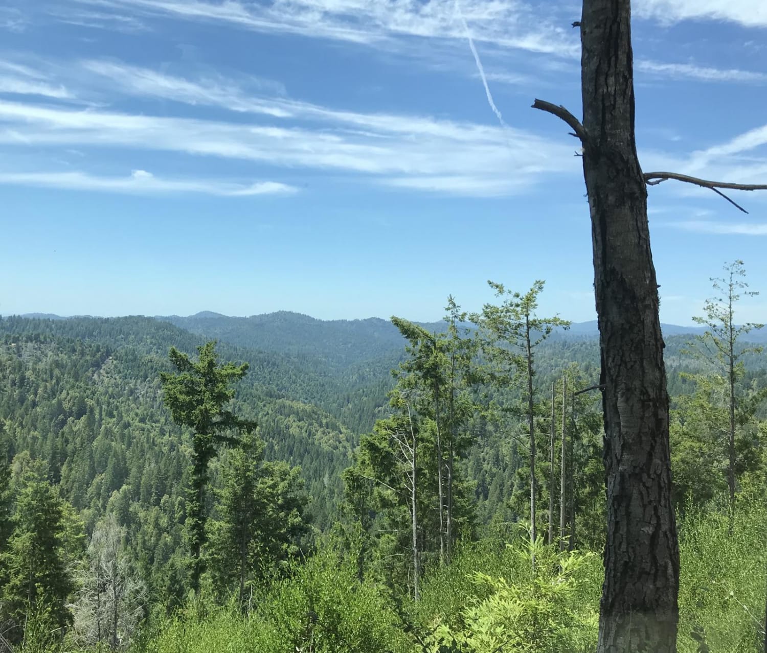
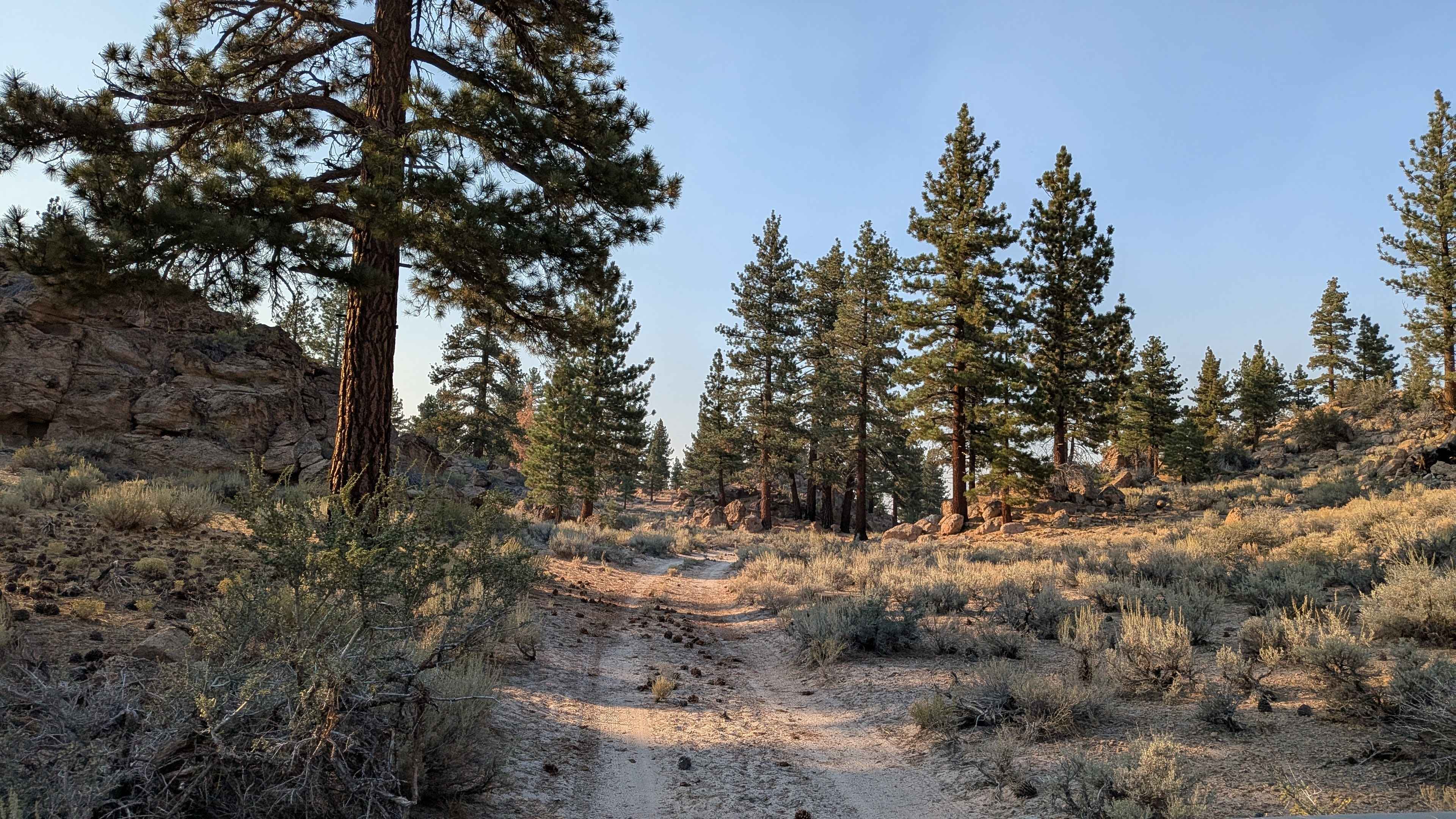
This 1.1-mile two-track is a forest service road that provides a quick transit connector between other roads in this ridge system. The trail runs entirely through a vast, exposed landscape that was severely burned during the 2020 Creek Wildfire. The roadbed is wide and graded, consisting of smooth, loose duff and packed dirt, allowing for easy driving. Crucially, the route is part of an active salvage logging operation (visible in photos), with debris piles and machinery potentially present. The 12-minute travel time over a short distance confirms the slow, necessary pace due to hazards and debris avoidance, rather than technical difficulty. This route provides wide-open views over the surrounding burn scar.
Photos of Upper Tamarack Mountain - FS 9s028


Difficulty
This road is suitable for all passenger vehicles when dry, requiring no technical 4WD skill. The R2 rating is assigned because the loose duff surface and the need to constantly watch for debris and active logging equipment necessitate a deliberate, slow pace. High clearance is advised to avoid accumulating debris or scraping on the raw earth cleared by the logging equipment.
Status Reports
Upper Tamarack Mountain - FS 9s028 can be accessed by the following ride types:
- High-Clearance 4x4
- SUV
Upper Tamarack Mountain - FS 9s028 Map
Popular Trails

Red Leg - FS 26E333

Willow Creek Road to Pigeon Springs
Sherwood Road
Granite Boulder Scenic Road - FS 4S40
The onX Offroad Difference
onX Offroad combines trail photos, descriptions, difficulty ratings, width restrictions, seasonality, and more in a user-friendly interface. Available on all devices, with offline access and full compatibility with CarPlay and Android Auto. Discover what you’re missing today!