Taylor Ridge Road
Total Miles
1.6
Technical Rating
Best Time
Spring, Summer, Fall
Trail Type
Full-Width Road
Accessible By
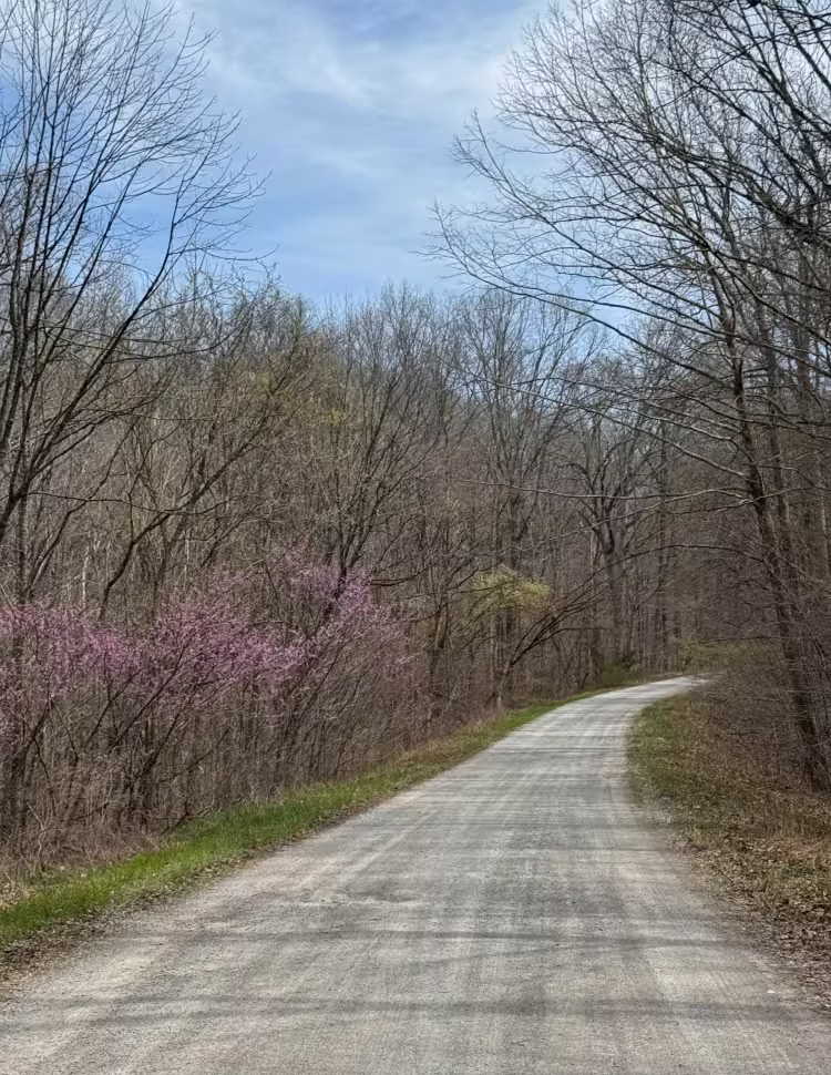
Trail Overview
Taylor Ridge Road is a gravel route within Shawnee National Forest that leads to a designated trailhead parking area for nearby hiking trails. The road is generally easy to navigate, with occasional ruts that may form after heavy rainfall. At the start of the route, signage indicates a dead end, which is accurate--this road terminates at the trailhead parking lot. The area provides convenient access to hiking opportunities and is well-suited for visitors looking to spend time exploring the surrounding forest. Motorized trail use beyond the road is not permitted, and OHV use is prohibited in this area. Visitors should follow all rules and regulations outlined by Shawnee National Forest and plan accordingly for a day of hiking and outdoor recreation.
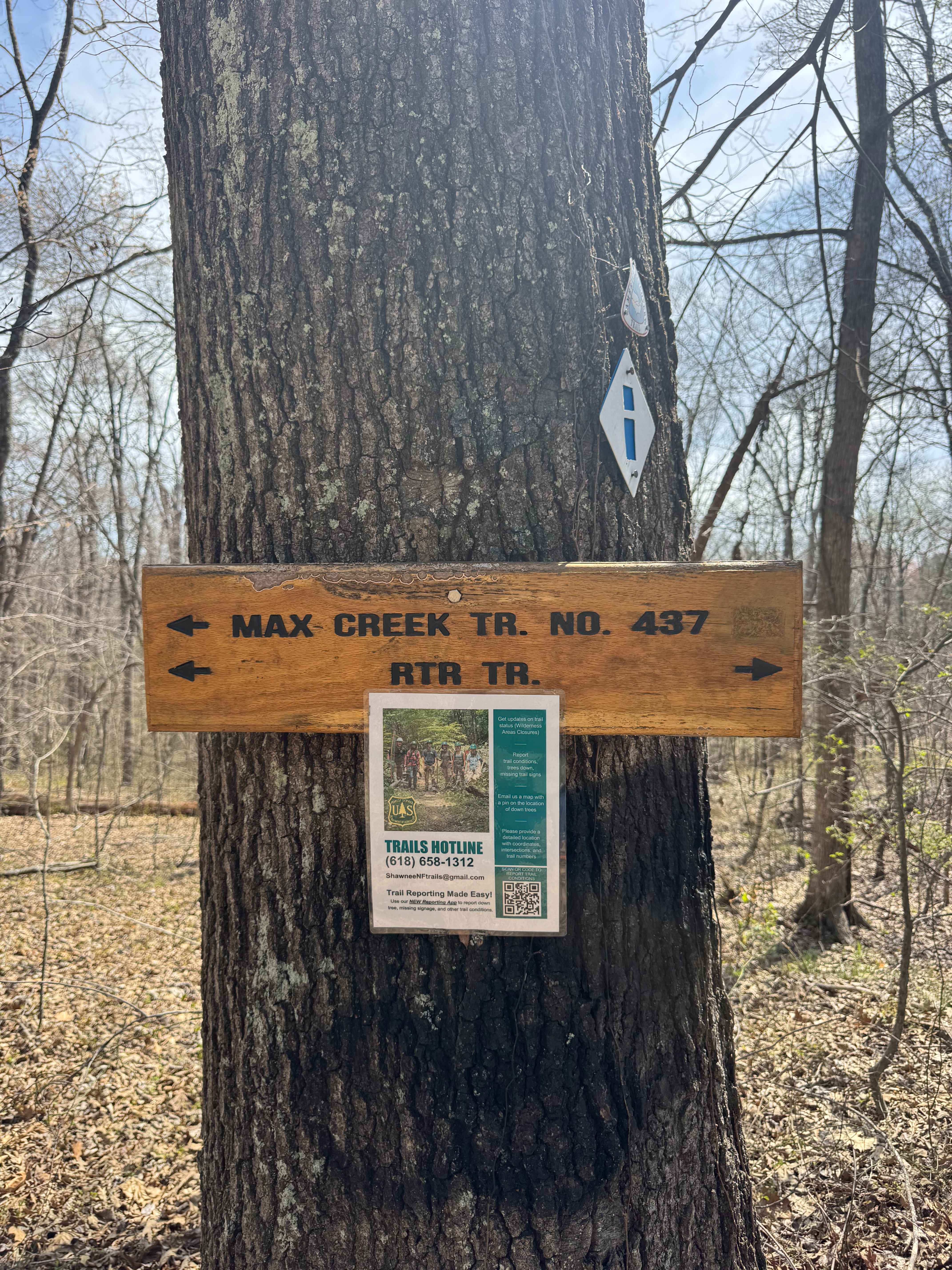
Photos of Taylor Ridge Road
Difficulty
Easy. This is a mostly level gravel road suitable for 2WD vehicles in dry conditions. Minor ruts may be present after heavy rainfall, but there are no significant obstacles. The route is accessible for most street-legal vehicles.
Status Reports
Taylor Ridge Road can be accessed by the following ride types:
- High-Clearance 4x4
- SUV
Taylor Ridge Road Map
Popular Trails
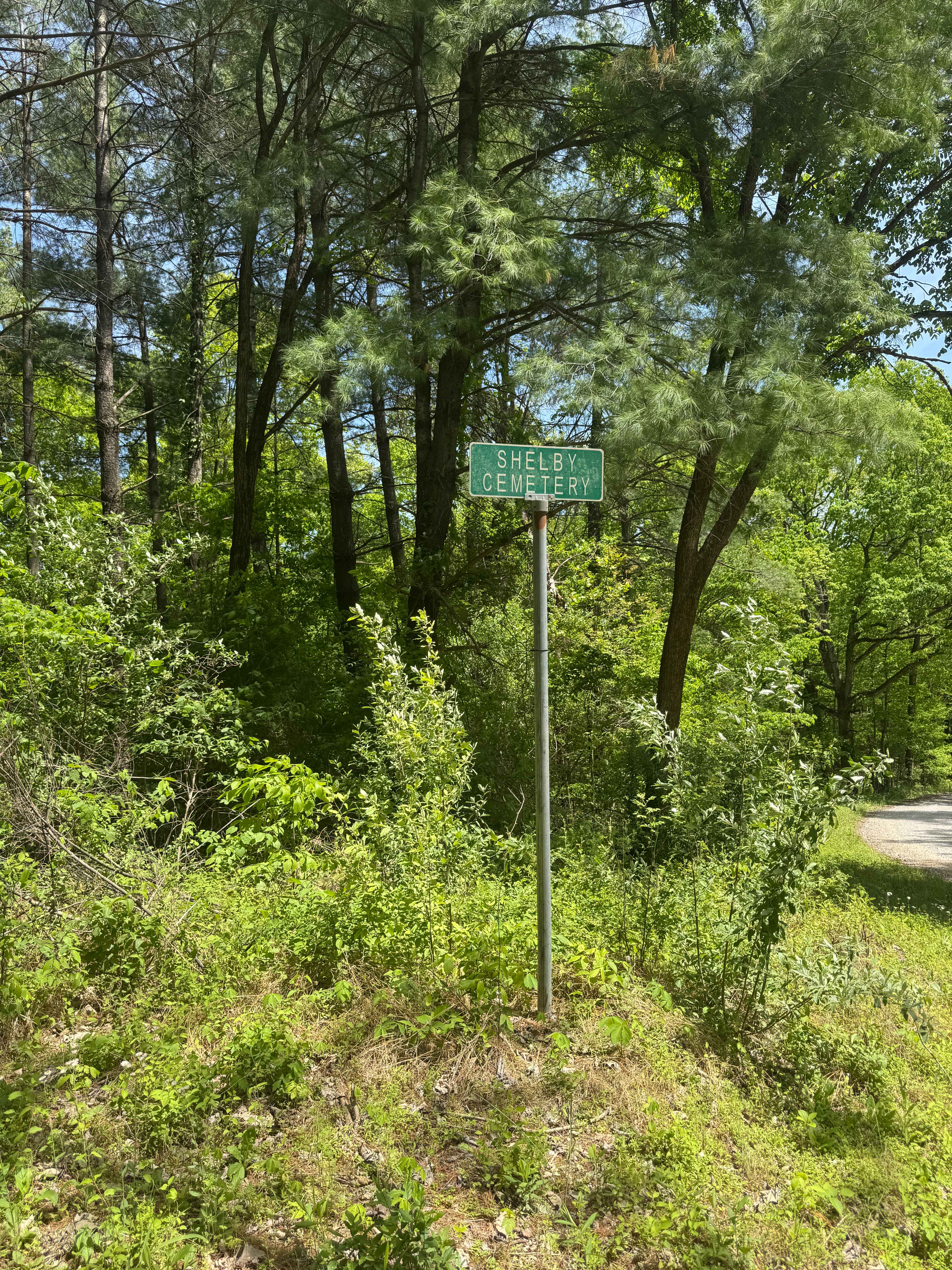
Shelby Cemetery Trail

Big Muddy Levee Road


Muddy Levee Road
The onX Offroad Difference
onX Offroad combines trail photos, descriptions, difficulty ratings, width restrictions, seasonality, and more in a user-friendly interface. Available on all devices, with offline access and full compatibility with CarPlay and Android Auto. Discover what you’re missing today!